|
| *****SWAAG_ID***** | 809 |
| Date Entered | 05/06/2014 |
| Updated on | 05/06/2014 |
| Recorded by | Tim Laurie |
| Category | Settlement |
| Record Type | Archaeology |
| SWAAG Site Name | |
| Site Type | |
| Site Name | |
| Site Description | |
| Site Access | Public Access Land |
| Record Date | 15/05/2014 |
| Location | Carlton Town CP, Gammersgill Moor, Harland Hill South Slope |
| Civil Parish | Carlton Town |
| Brit. National Grid | SE 0270 8376 |
| Altitude | 460m |
| Geology | Spring line with glacial till over impervious shales below Namurian sandstones. |
| Record Name | Harland Hill South Slope. Unenclosed round house settlement Part Two |
| Record Description | Following the previous Initial Record (SWAAG 808) of this site, a further visit has been made to establish the extent of the site and subsequent discussion with Robert White at the YDNP has revealed that this Site had been 'picked up by the OS 6†and the Yorkshire Dales Mapping Project and referred to as:
“ Substantial network of original stone-built enclosures and interlinked folds. The sites are marked as 'Jenkins Folds' on the 1st Edition OS mapping and at least some of the remains surely were used as large stock enclosures through the post-medieval period. In form they are similar to possible prehistoric or Romano-British enclosure systems in the more upland areas of the Park and it is possible that the site had early origins and was then adapted to a purely stock enclosure use during the medieval and post-medieval periods. A survey and ground examination would be beneficial for the interpretation of the siteâ€. Robert has confirmed that the YDNP Database Record MYD16255 which has now been updated following my visit and the opinion that the site is a prehistoric settlement of at least 18 round house platforms or hut circles. The enclosure banks abut or are tangential to the round houses and I have not seen evidence of intrusive or later stone walling indicative of subsequent reoccupation as sheep fold. In these circumstances the enclosures are considered to be associated and contemporary with the round house settlement. The house platforms and hut circles are shrouded by moorland vegetation and very difficult to recognise from aerial photographs or Google Earth.
|
| Dimensions | The visible remains extend 350m eastward of the Parish Boundary Wall and 100m from North to South, see Record 808 |
| Geographical area | |
| Species | |
| Scientific Name | |
| Common / Notable Species | |
| Tree and / or Stem Girth | |
| Tree: Position / Form / Status | |
| Tree Site ID | 0 |
| Associated Site SWAAG ID | 0 |
| Additional Notes | Thanks to Robert White for the additional information. See additional photograph images.
See Record 808 for initial site survey. This site will be the subject of further site survey at a larger scale. |
| Image 1 ID | 5436 Click image to enlarge |
| Image 1 Description | View across House Platform K and the enclosures. David walks the line of the enclosure bank abutting HP J. | 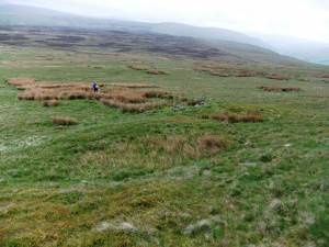 |
| Image 2 ID | 5437 Click image to enlarge |
| Image 2 Description | House Platform J and abutting enclosure bank. | 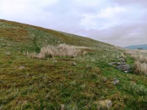 |
| Image 3 ID | 5438 Click image to enlarge |
| Image 3 Description | House Platform K from the west. | 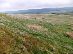 |
| Image 4 ID | 5439 Click image to enlarge |
| Image 4 Description | House Platform K from below. | 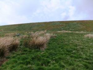 |
| Image 5 ID | 5440 Click image to enlarge |
| Image 5 Description | David and Eileen at Platform H | 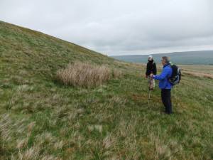 |
| Image 6 ID | 5441 Click image to enlarge |
| Image 6 Description | This substantial stone bank marks the lower limit of three enclosures. | 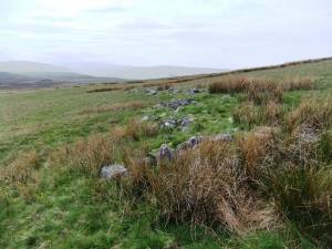 |
| Image 7 ID | 5442 Click image to enlarge |
| Image 7 Description | Possible ring cairn below the settlement. | 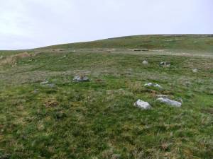 |
| Image 8 ID | 5443 Click image to enlarge |
| Image 8 Description | Harland Hill South Slope. | 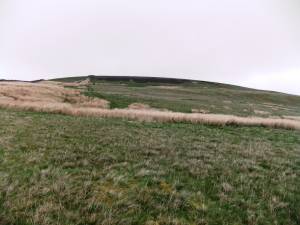 |


