| |
|
Using:
£1=€1.12
£1=$1.50 |
 |
Swaledale
Where the Gods Shed a Tear:
Geology and Industrial Archaeology
e-Book
Well if a
picture is worth a thousand words then we have over half
a million for you with over 500 colour images! In this
volume we are mainly looking at both geological features
and the impact of man extracting ores and rocks over the
last two millennia, using the records saved on the SWAAG
database. In essence we are showing you what is there
when you drive or walk in and around Swaledale which
usually goes unnoticed or at least unappreciated by most
visitors. If you are visiting the area it will give you
a pictorial taste of what you can go and see, as most
records have the Ordinance Survey map co-ordinates so
that you can easily find them. The images also give you
a view of the many landscapes present in the dales as
well as many images you won’t see that are under the
dales! Each record has been saved onto Swaledale and
Arkengarthdale Archaeology Group’s database by its
members. Each record usually contains both text and up
to 30 images. Many records are on public access land or
footpaths. |
£3.99
Approximately:
€4.49
or
$5.99 |
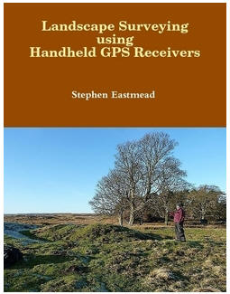 |
Landscape Surveying using Handheld GPS Receivers
e-Book
When the Swaledale and Arkengarthdale Archaeology
Group (SWAAG) was formed one of the key requirements
was to perform accurate landscape surveys that could
be mapped to a sufficient standard for publication
in archaeological reports and journals. An Internet
survey of available GPS systems - GPS receivers and
mapping software - only returned professional
systems that were beyond the financial reach of a
small amateur group like SWAAG. This treatise is a
simple manual describing the methodologies
developed, which can be used by individuals or
groups to record and publish their data. The aim is
not to be prescriptive but to offer a base for
others to adapt and modify, so their surveying
requirements can be met at minimal financial cost.
Whilst the examples described are archaeological,
the techniques can be directly applied to any
landscape feature in any area of interest. The
methods described are broken down into individual
easy to follow steps, and richly illustrated with
colour diagrams.
|
£4.99
Approximately:
€5.60
or
$7.50
|
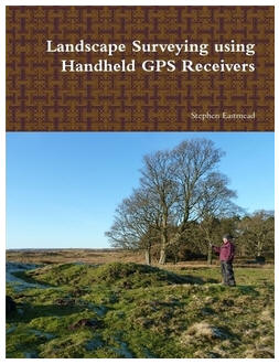 |
Landscape Surveying using Handheld GPS Receivers
Paperback
When the Swaledale and Arkengarthdale Archaeology
Group (SWAAG) was formed one of the key requirements
was to perform accurate landscape surveys that could
be mapped to a sufficient standard for publication
in archaeological reports and journals. An Internet
survey of available GPS systems - GPS receivers and
mapping software - only returned professional
systems that were beyond the financial reach of a
small amateur group like SWAAG. This treatise is a
simple manual describing the methodologies
developed, which can be used by individuals or
groups to record and publish their data. The aim is
not to be prescriptive but to offer a base for
others to adapt and modify, so their surveying
requirements can be met at minimal financial cost.
Whilst the examples described are archaeological,
the techniques can be directly applied to any
landscape feature in any area of interest. The
methods described are broken down into individual
easy to follow steps, and richly illustrated with
colour diagrams.
|
£20.00
Approximately:
€22.40
or
$30.00
|
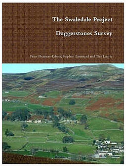 |
The Swaledale Project:
Daggerstones Survey
Paperback
This report describes a complex multi-period
landscape in the pastures around the modern house at
Daggerstones, and the ruins of Bank House above the
village of Healaugh on the north side of Swaledale.
The landscape ranges in elevation from 210m OD to
305m OD and (visually) from Bronze Age mounds
through house platforms and lynchetted coaxial field
boundaries (broadly trending NNW-SSE) of
Prehistoric/Romano-British character, rectangular
building platforms and extant 17th century ruins, to
the sloped array of solar panels behind the modern
house. The report includes numerous maps,
illustrations and colour photographs.
|
£8.99
Approximately:
€10.07
or
$13.50 |