|
| *****SWAAG_ID***** | 835 |
| Date Entered | 14/09/2014 |
| Updated on | 15/09/2014 |
| Recorded by | Tim Laurie |
| Category | Geographical Record |
| Record Type | Geomorphology |
| SWAAG Site Name | |
| Site Type | |
| Site Name | |
| Site Description | |
| Site Access | Public Access Land |
| Record Date | 03/09/2014 |
| Location | Birkdale Common. The Source of the Swale |
| Civil Parish | Muker |
| Brit. National Grid | Hidden |
| Altitude | 690m |
| Geology | Spring rise below Pickerset Edge Grit over marine shale band. |
| Record Name | The search for the highest anf furthest Spring Source of the River Swale. |
| Record Description | This is a short photographic record of a personal search for the ultimate source of the River Swale, that is the highest spring furthest from the junction of the Swale with the Ure and also from the Humber.
The search was unsuccessful at first and required three visits before the highest spring was located. |
| Dimensions | |
| Geographical area | Upper Swaledale |
| Species | Botanical record list available. |
| Scientific Name | |
| Common / Notable Species | |
| Tree and / or Stem Girth | |
| Tree: Position / Form / Status | |
| Tree Site ID | 0 |
| Associated Site SWAAG ID | 0 |
| Additional Notes | Please Note!
The Grid Reference and name of the location of this spring has been hidden since high springs which form the sources of the Swale are home to a rich but delicate community of montane plants, the spring flushes are sensitive places and should not be unnecessarily trampled by many booted feet.
If these spring sites are visited they can be admired from the dry and firm moorland ground at the edges and top of the spring flush. |
| Image 1 ID | 5819 Click image to enlarge |
| Image 1 Description | Third time lucky. This really could be the way we need to go. | 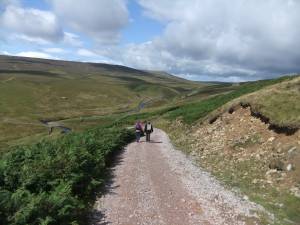 |
| Image 2 ID | 5820 Click image to enlarge |
| Image 2 Description | This Gill could be worth a try, but in fact was the way back. | 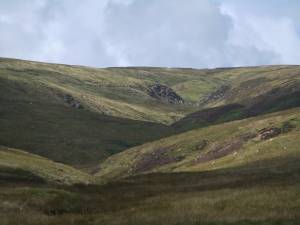 |
| Image 3 ID | 5822 Click image to enlarge |
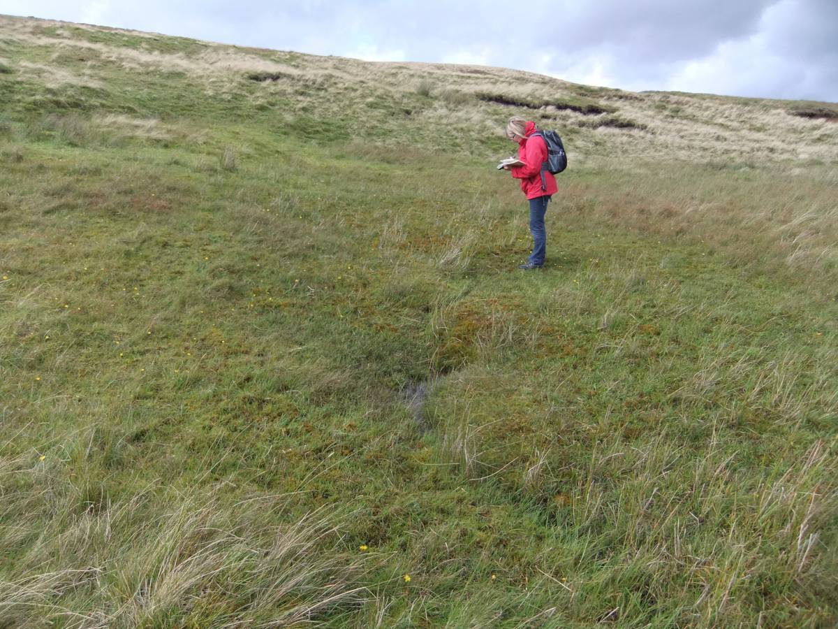
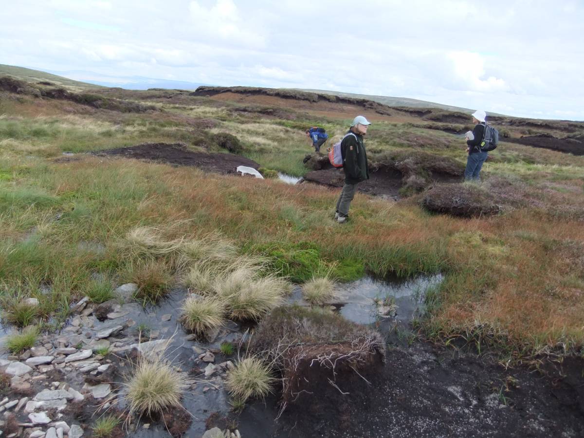
| Image 3 Description | The small pool just visible in the foreground is the Source of the Swale. L.R. Recording the vegetation. | 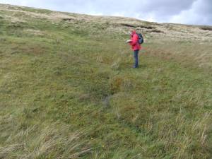 |
| Image 4 ID | 5832 Click image to enlarge |
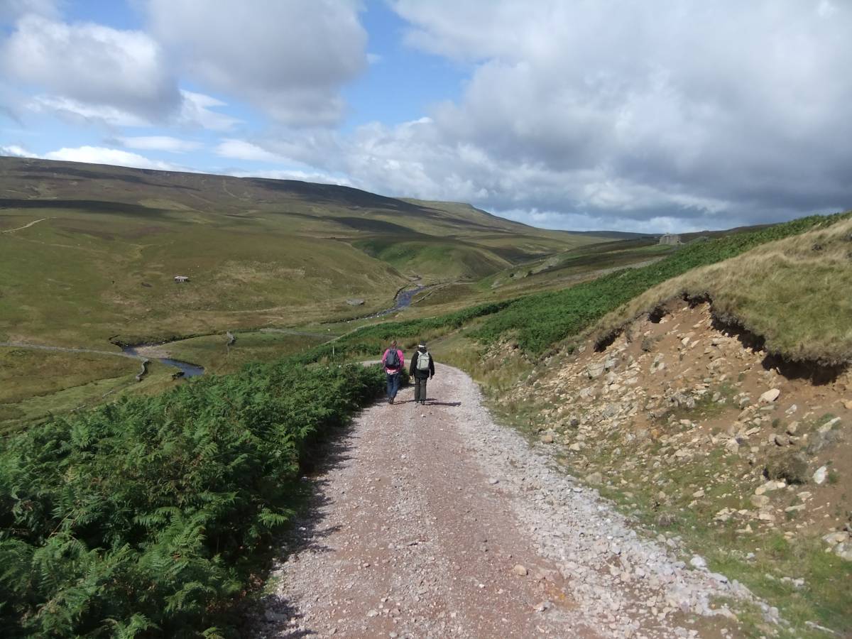
| Image 4 Description | The search started from Black Scar House on Uldale Beck |  |
| Image 5 ID | 5831 Click image to enlarge |
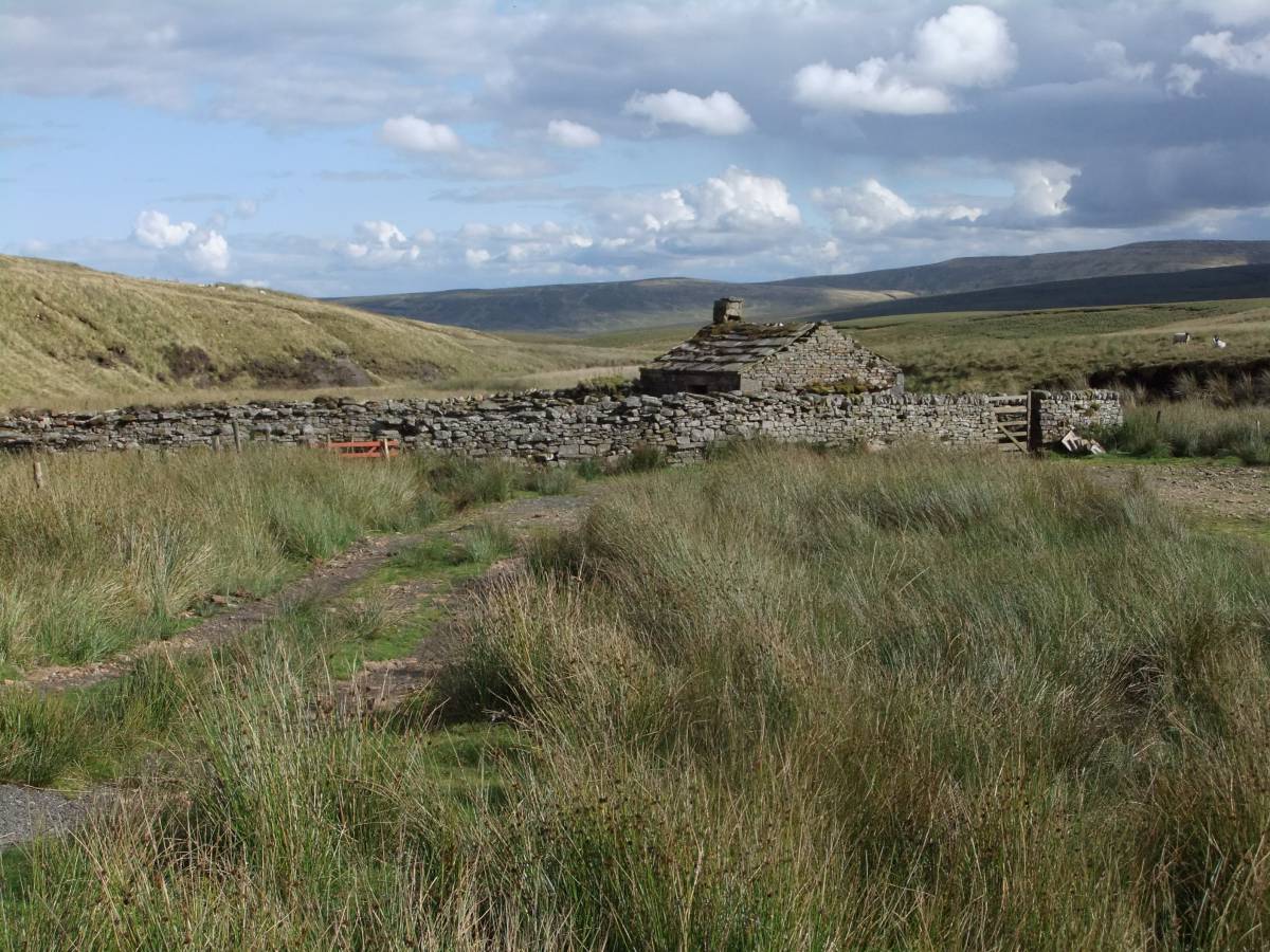
| Image 5 Description | Black Scar House and Uldale Beck Meetings. | 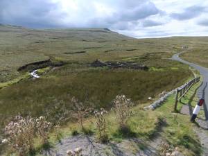 |
| Image 6 ID | 5833 Click image to enlarge |
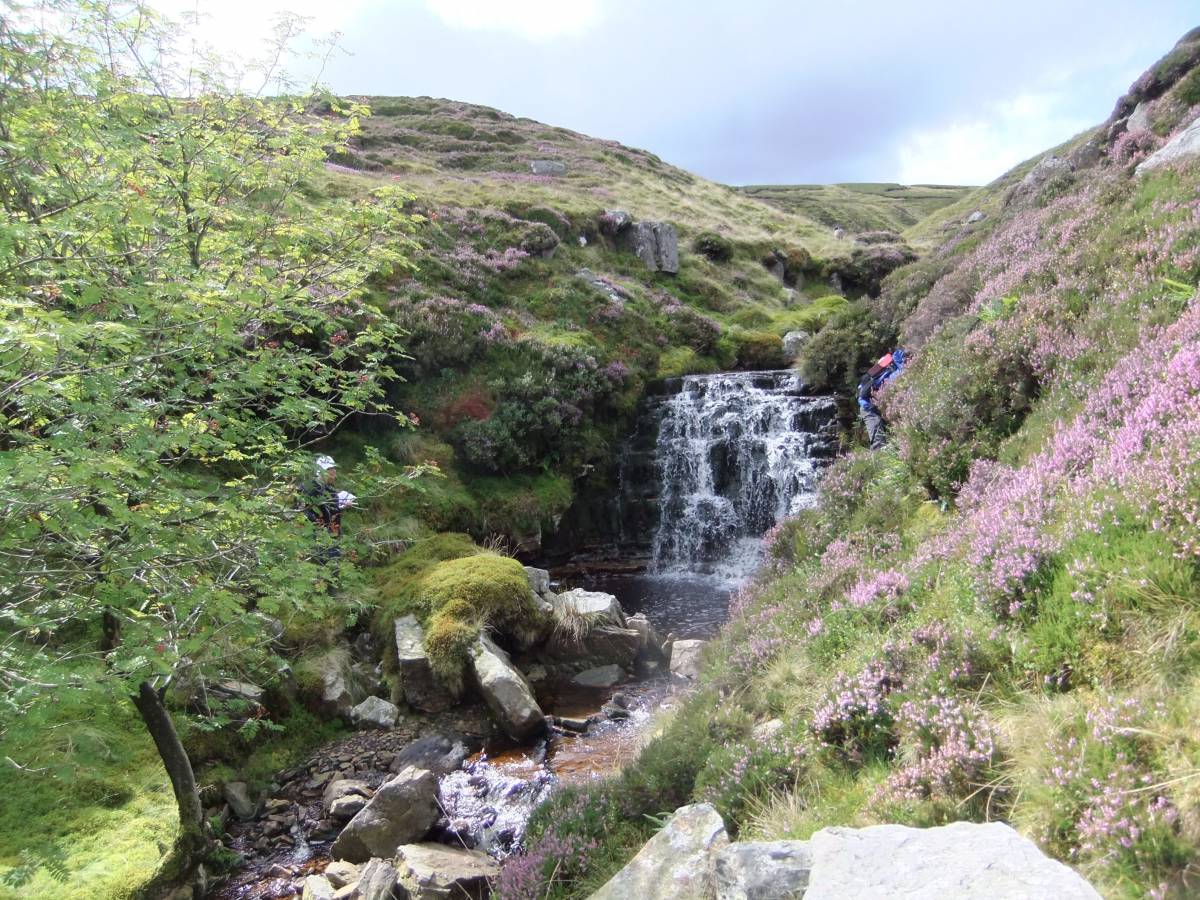
| Image 6 Description | Uldale Beck. The Lower Falls with Rowan. |  |
| Image 7 ID | 5834 Click image to enlarge |
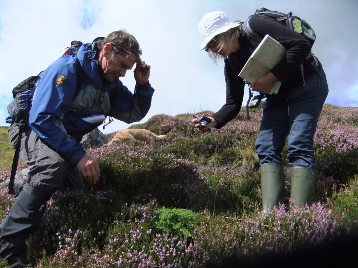
| Image 7 Description | Recording a rare example of the natural regeneration of juniper. Uldale Gill Head. | 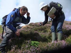 |
| Image 8 ID | 5835 Click image to enlarge |
| Image 8 Description | This seedling juniper has germinated from seed derived from a long dead juniper whose remains are nearby. | 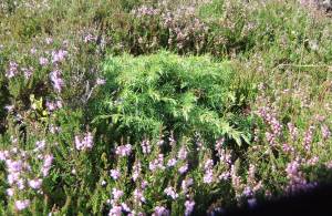 |
| Image 9 ID | 5836 Click image to enlarge |
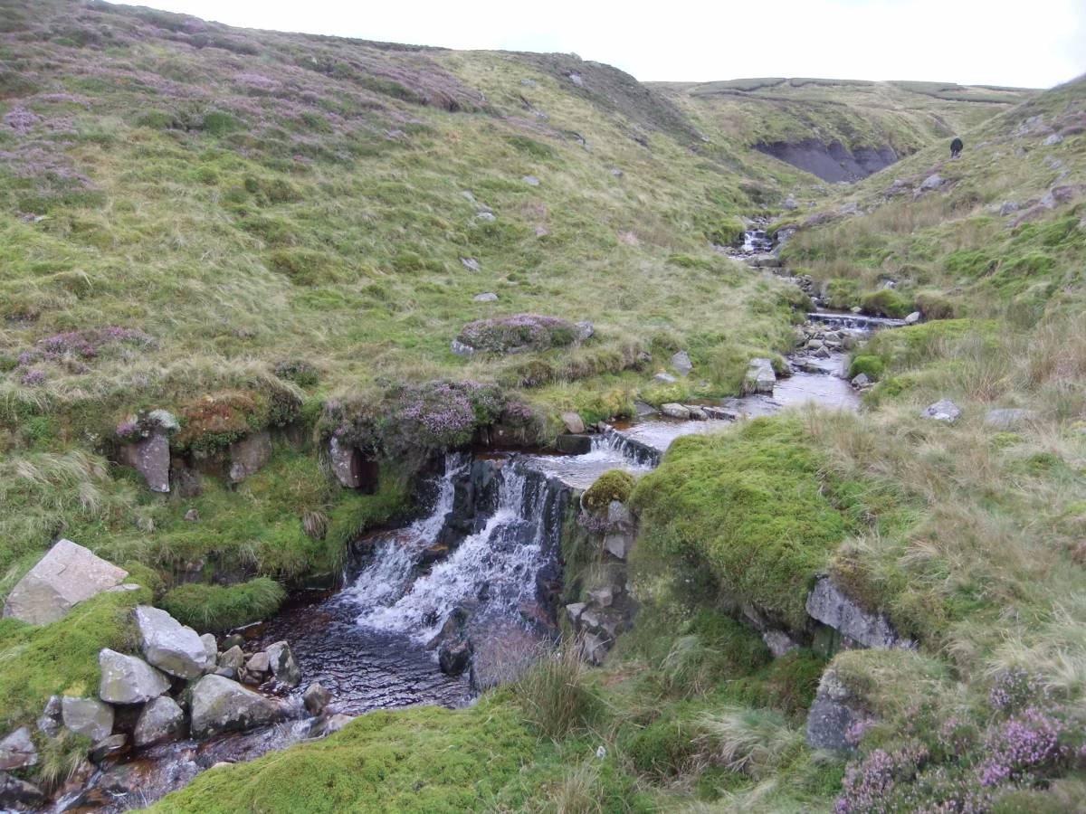
| Image 9 Description | Uldale Beck. the Uper Falls. | 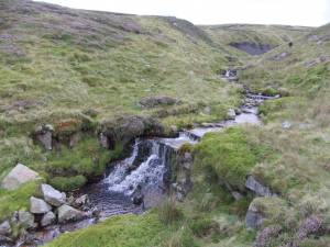 |
| Image 10 ID | 5837 Click image to enlarge |
| Image 10 Description | Onward and upward. | 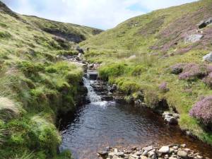 |
| Image 11 ID | 5838 |
| Image 11 Description | Uldale Gill Head, almost at the top. | 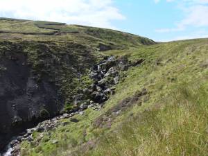 |
| Image 12 ID | 5839 |
| Image 12 Description | Remnant mounds of blanket peat 2-3m deep which once covered the whole of the plateau. | 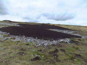 |
| Image 13 ID | 5840 |
| Image 13 Description | Mallerstang Edge.Water is scarce on the wide plateau | 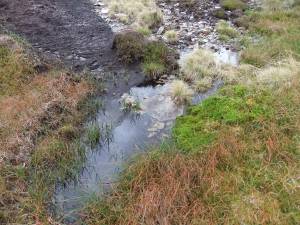 |
| Image 14 ID | 5823 |
| Image 14 Description | Scattered tarns and pools with remains of willow carr, stunted birch and juniper preserved at the base of 2-3m deep peat | 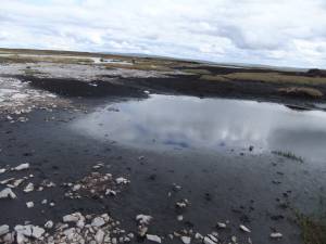 |
| Image 15 ID | 5824 |
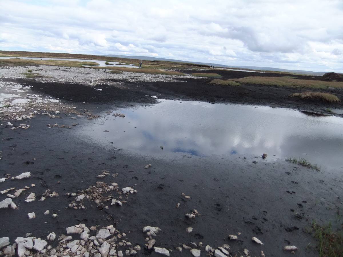
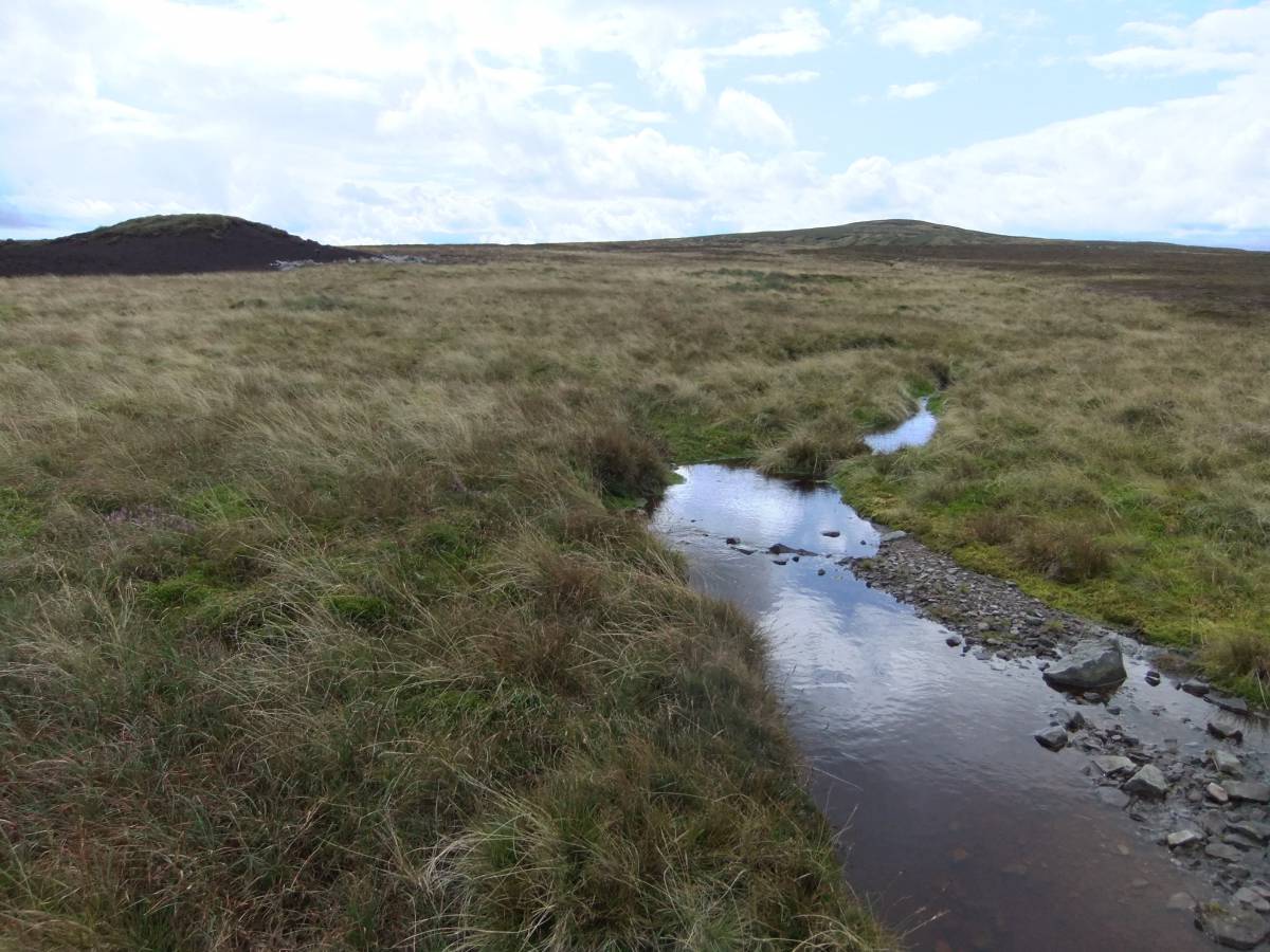
| Image 15 Description | Pools and tarns but no streams. | 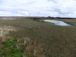 |
| Image 16 ID | 5828 |
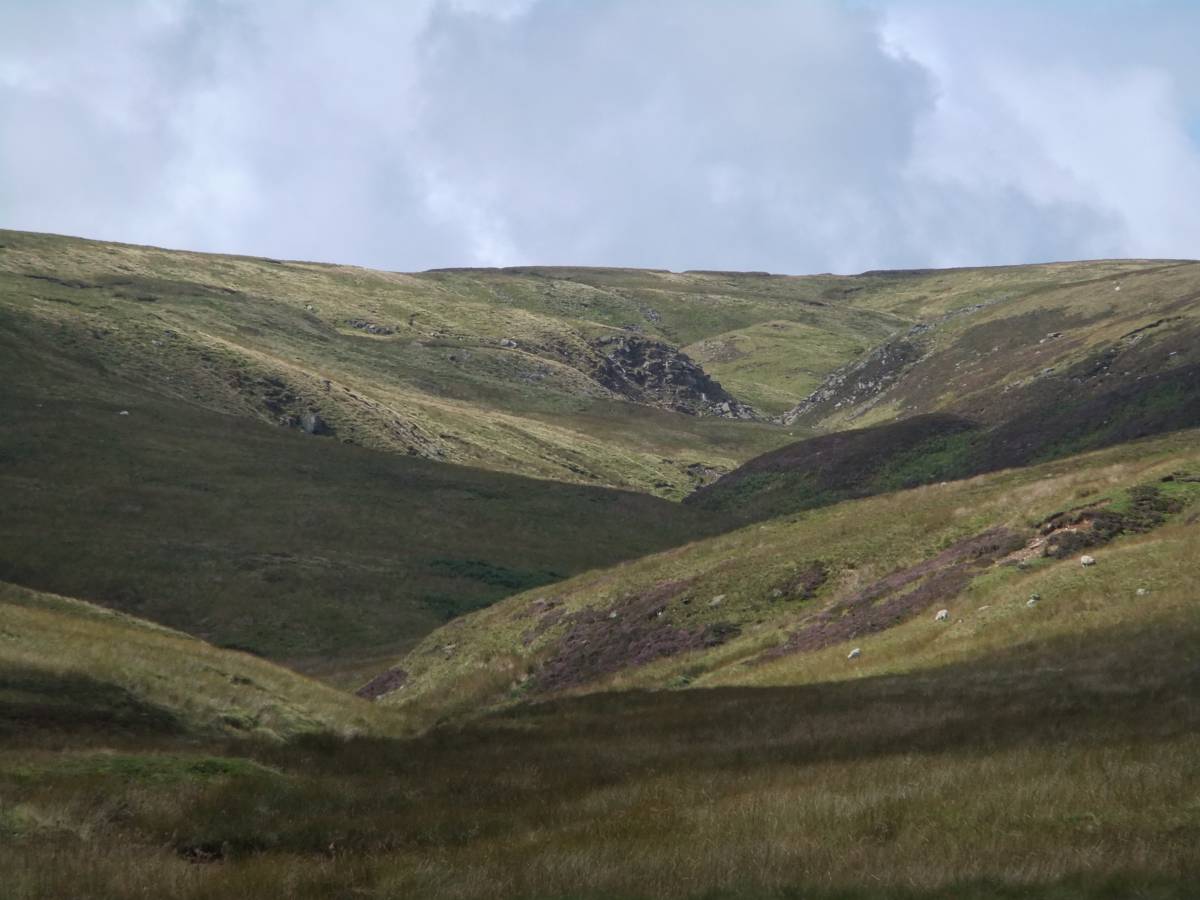
| Image 16 Description | Where do we go from here? | 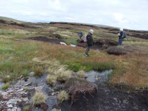 |
| Image 17 ID | 5827 |
| Image 17 Description | That is the way back. | 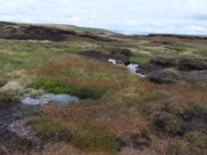 |
| Image 18 ID | 5826 |
| Image 18 Description | And this where we came up. | 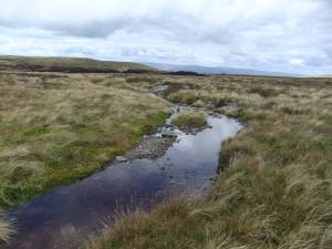 |
| Image 19 ID | 5825 |
| Image 19 Description | We will follow this beck as far as we can. The source will be up there. | 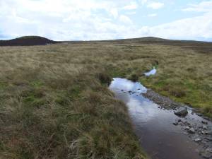 |
| Image 20 ID | 5847 |
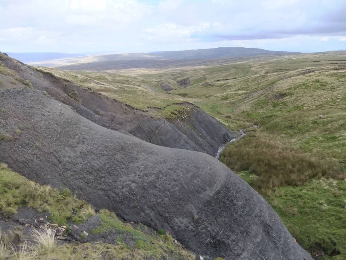
| Image 20 Description | Remnant mounds of peat show that the whole plateau was until recently covered with blanket peat 2-3m deep. | 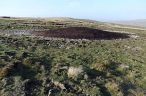 |
| Image 21 ID | 5848 |
| Image 21 Description | Ancient willow carr preserved below eroded blanket peat. As seen 30.11.2011 | 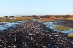 |
| Image 22 ID | 5841 |
| Image 22 Description | Lunch at Lodge Hags. I think I can see spring flushes over there. | 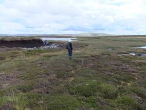 |
| Image 23 ID | 5843 |
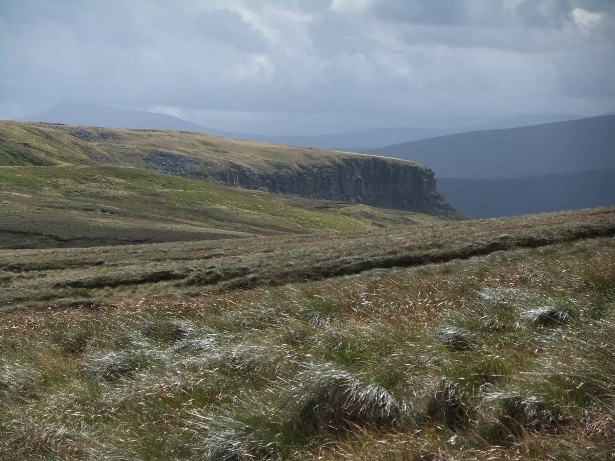
| Image 23 Description | View southward through Mallerstang towards |  |
| Image 24 ID | 5842 |
| Image 24 Description | Massed remains of stunted birch below eroded blanket peat at 660m elevation. | 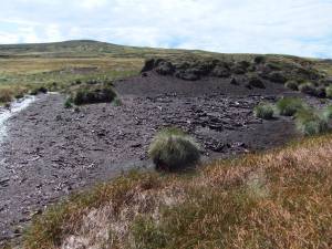 |
| Image 25 ID | 5844 |
| Image 25 Description | Black shales and thin sandstones are the uppermost beds of the Namurian strata in Swaledale. |  |
| Image 26 ID | 5845 |
| Image 26 Description | The Source of the Swale | 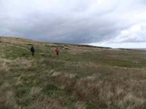 |
| Image 27 ID | 5846 |
| Image 27 Description | The way back with Shunner in the distance. | 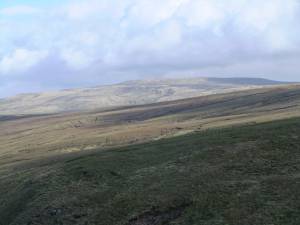 |