|
| *****SWAAG_ID***** | 808 |
| Date Entered | 27/05/2014 |
| Updated on | 28/05/2014 |
| Recorded by | Tim Laurie |
| Category | Settlement |
| Record Type | Archaeology |
| SWAAG Site Name | |
| Site Type | |
| Site Name | |
| Site Description | |
| Site Access | Public Access Land |
| Record Date | 05/05/2014 |
| Location | Gammersgill Moor, Harland Hill, South Slope |
| Civil Parish | Carlton Town |
| Brit. National Grid | Hidden |
| Altitude | 460-470m |
| Geology | Namurian Sandstones and springs above the Cockhill Marine Band Shales. |
| Record Name | Initial Record of a hitherto unrecorded prehistoric village settlement on the southern slopes of Harland Hill. |
| Record Description | This is Part One of the initial record of the recognition and sketch survey of a substantial prehistoric village site located on the southern slopes of Harland Hill at an elevation of 460-470m above Ordnance Datum. This is an introduction to the site following the initial recognition under dull light conditions. Further visits have and will be made to establish the full extent of the settlement. Further Database records will be uploaded after each successive visit.
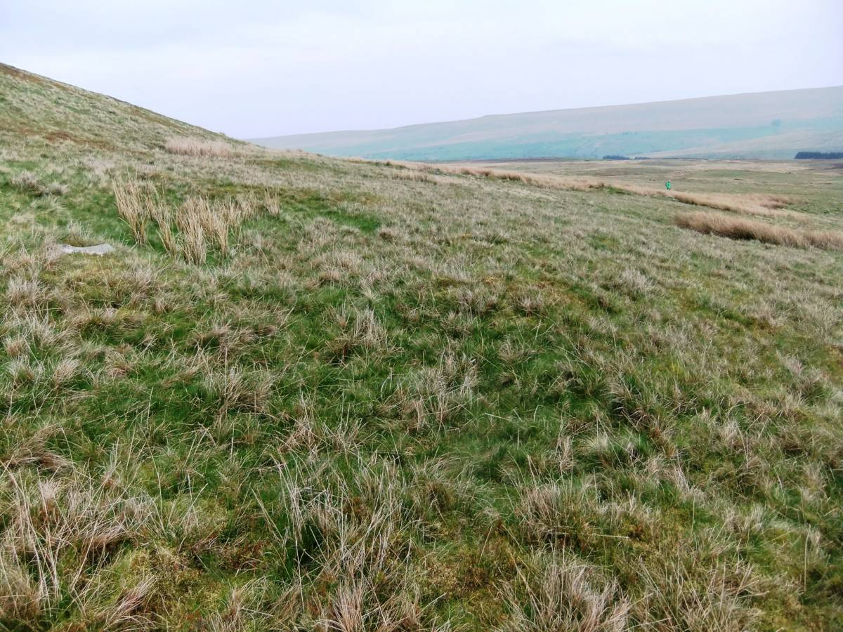
The prehistoric settlement is located on Gammersgill Moor east of the drystone wall which follows the interfluve between Burton-cum Walden CP and Carlton Town CP. The settlement which comprises at least 18 round house platforms and stone banked round house enclosures is located on rising ground just above the spring line. A total of 12 house platforms are located in line along the the base of the steep upper slopes of Harland Hill. Each of these house platforms abuts or adjoins the stone bank which forms the upper or northern limit of a series of three stone banked conjoined curvilinear enclosures. A further six round houses, hut circles, are located adjacent to the lower enclosure banks.
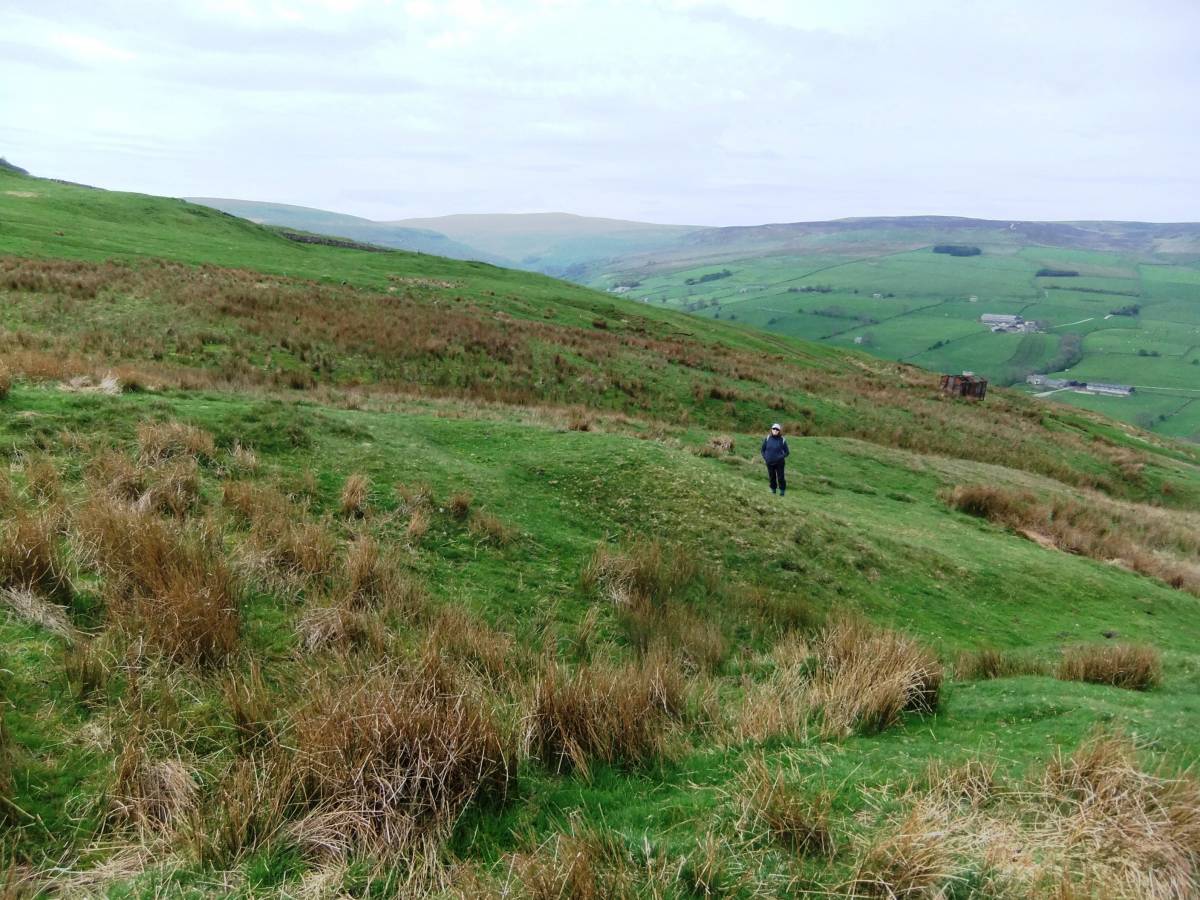
The two more easterly enclosures and most of the house platforms which are distant from the modern parish boundary wall, are generally very well preserved. However the most westerly of the three enclosure walls together with any house platforms located near the Parish Boundary Wall have been heavily robbed and disturbed by stone quarrying during the construction of the Parish Boundary Wall. The majority of the round houses which average at 9-10m diameter overall, were erected on levelled platforms cut into the slope, a few are defined by stone dump banks or 'hut circles'.
The lower enclosure walls are up to 2.0m thick with occasional large orthostats. The upper enclosure bank which runs between the upper row of 12 house platforms is less substantial. |
| Dimensions | The settlement enclosures are 350m from east to west and 100m from north to south. |
| Geographical area | |
| Species | |
| Scientific Name | |
| Common / Notable Species | |
| Tree and / or Stem Girth | |
| Tree: Position / Form / Status | |
| Tree Site ID | 0 |
| Associated Site SWAAG ID | 0 |
| Additional Notes | This high elevation, remote moorland prehistoric 'village' settlement somewhat resembles the Burton Moor Settlement also situated at 460m elevation some 2.5KM to the northward, see Robert White 1997,Yorkshire Dales. Landscapes through Time. Batsford/English Heritage. Chapter Two, Figure 16. The Burton Moor Village Settlement, in contrast to the three enclosures described here on Harland Hill, consists of many small curvilinear enclosures with associated hut circles. These two settlements are also rather different in detail, for example the Burton Moor settlement has complex round houses with several showing lean to rooms whereas all the house platforms at Harland Hill are simple platforms cut into the slope as stances for one roomed timber framed round houses.
In this respect the Harland Hill settlement more closely resembles the settlement on Malham Moor, see Robert White 1997, op cit Figure 15.
Hut circle settlements cannot be dated from surface remains and very few have been excavated. The very high elevation of this settlement fully open and exposed to the prevailing South Westerly winds does perhaps indicate that it was seasonally occupied by transhumant pastoralist family groups at around 1200BC during the Middle Bronze Age before clearance of sheltering woodland and before the climatic deterioration which followed after 600 BC, during the Prehistoric Iron Age. See, for example, Coggins, D., and Fairless, K.J., 1984: 'The Bronze Age settlement at Bracken Rigg,Upper Teesdale, Co Durham. Durham Archaeol. J. 1, 5-21.
The vicinity of the settlement will be searched for the presence of burial monuments, ring cairns, burnt mounds and other associated settlement sites. There are several known burnt mounds within a radius of 1 mile of this site, for example the three burnt mounds above Whitrow Farm in Walden and the burnt mound in a marsh near Howden Lodge, above Carlton in Coverdale. |
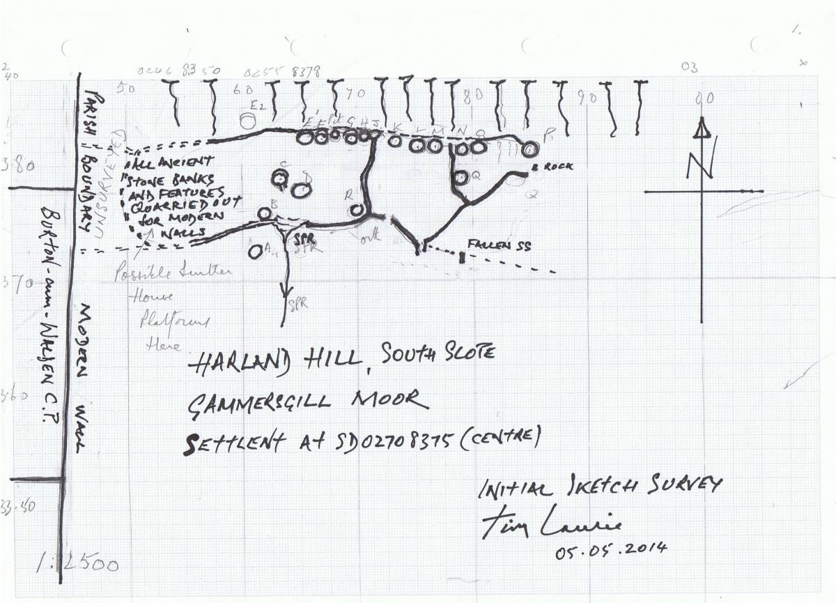
| Image 1 ID | 5410 Click image to enlarge |
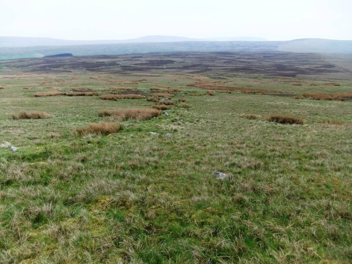
| Image 1 Description | Harland Hill South Slope Settlement. Initial visit. GPS Site Sketch Survey. 05.05.2014 | 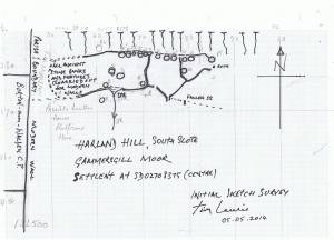 |
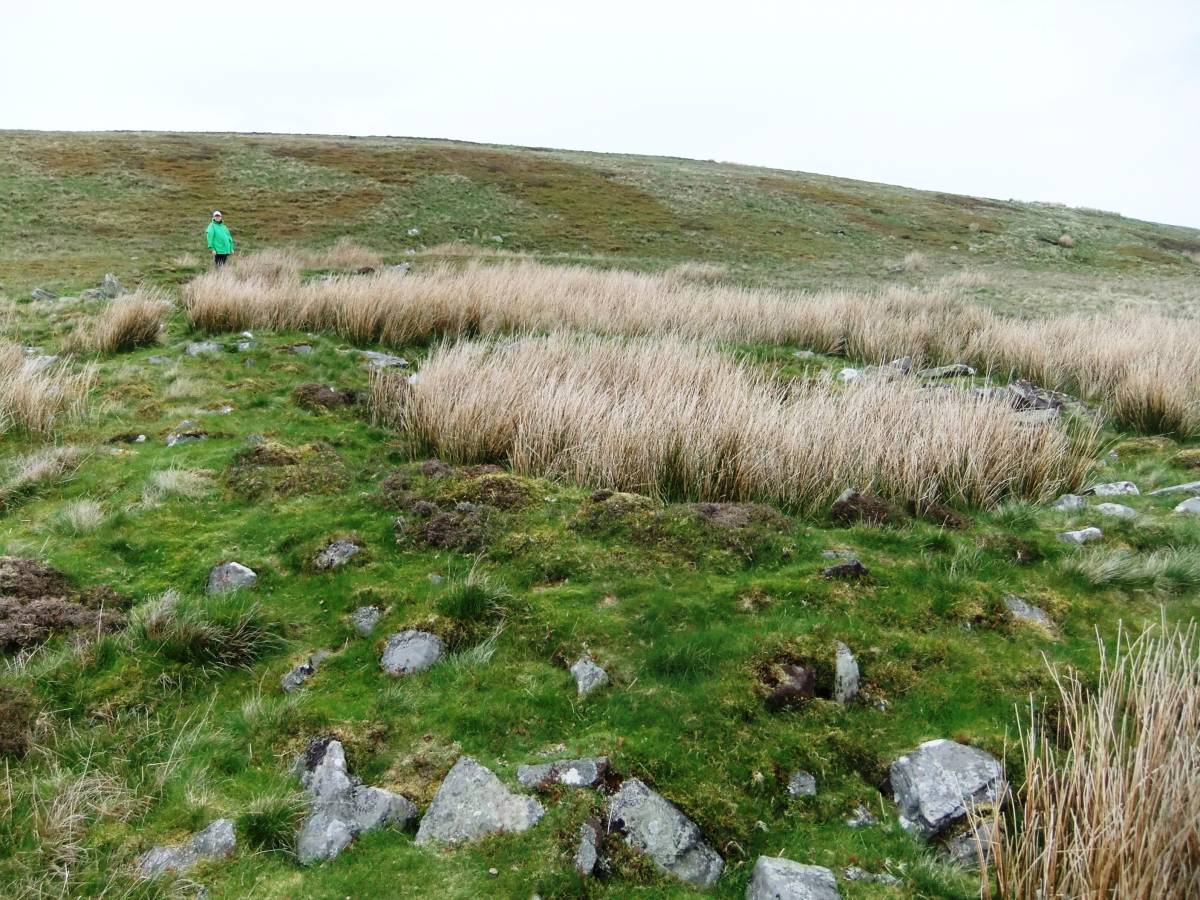
| Image 2 ID | 5429 Click image to enlarge |
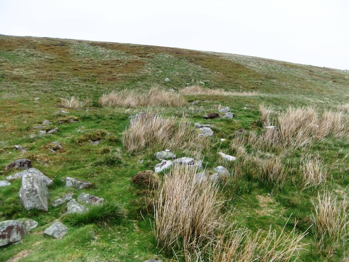
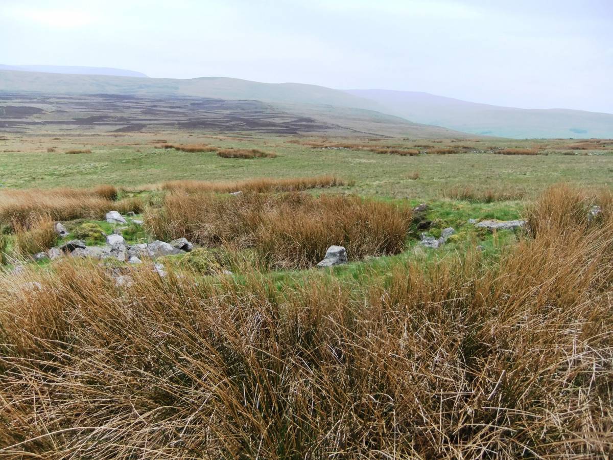
| Image 2 Description | This enclosure bank with attached hut circle obscured by rushes is some 300m east of the Parish Boundary wall and well preserved. | 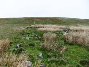 |
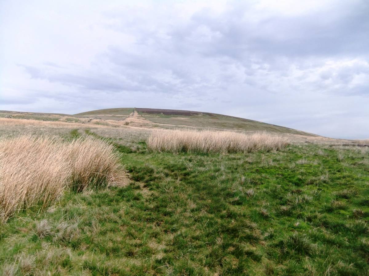
| Image 3 ID | 5405 Click image to enlarge |
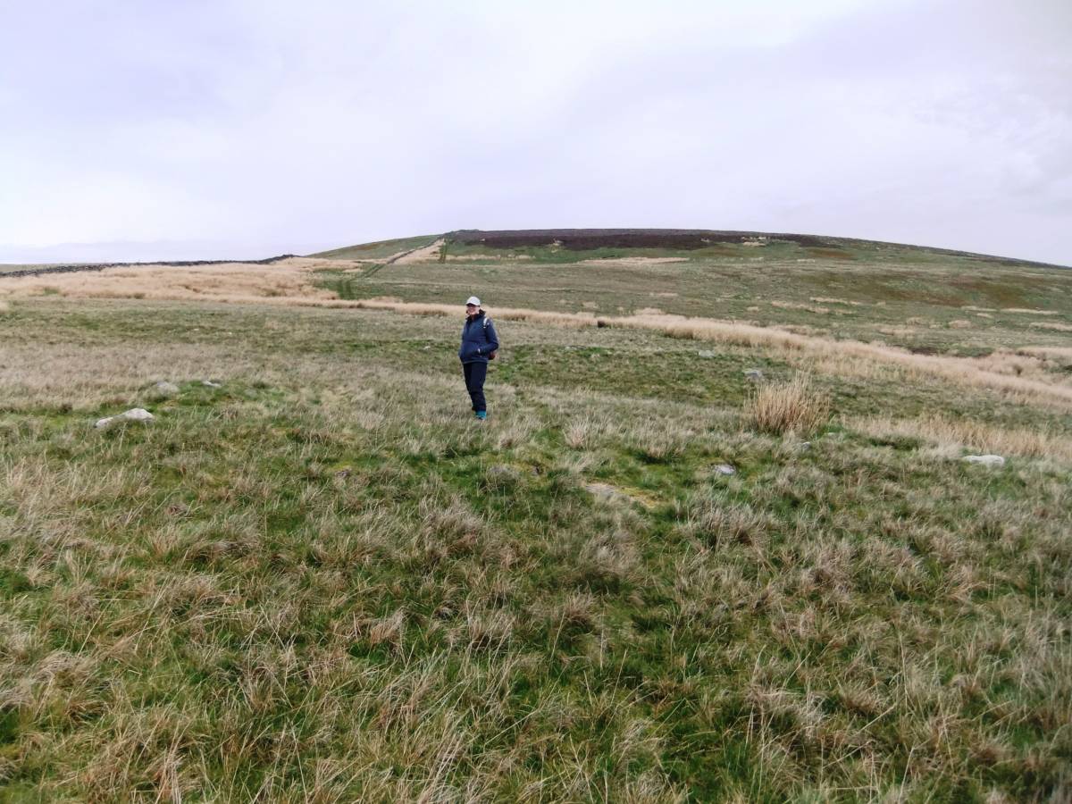
| Image 3 Description | Harland Hill South Slope from the West. The site can be approached from Walden. | 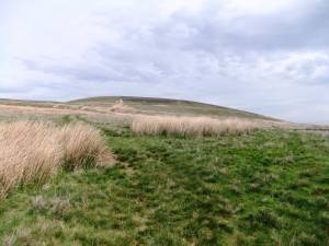 |
| Image 4 ID | 5406 Click image to enlarge |
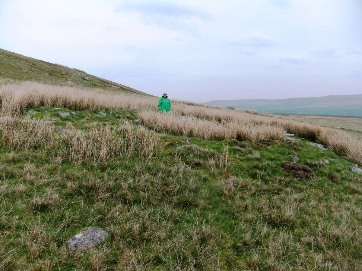
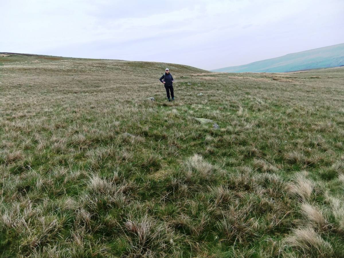
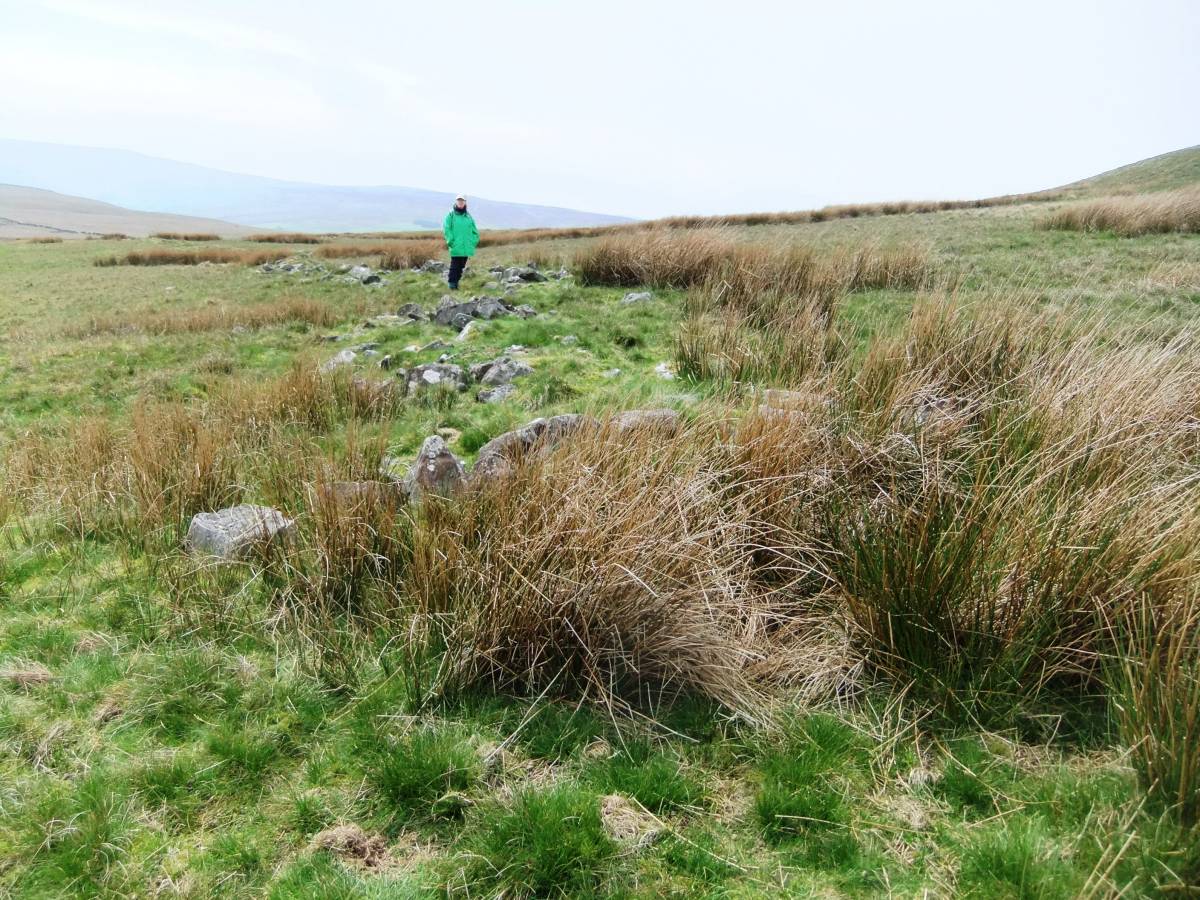
| Image 4 Description | House Q and enclosure bank. The settlement remains are very substantial and undisturbed when distant from the modern Parish boundary Wall. | 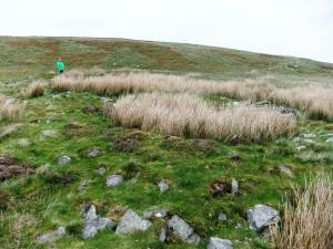 |
| Image 5 ID | 5407 Click image to enlarge |
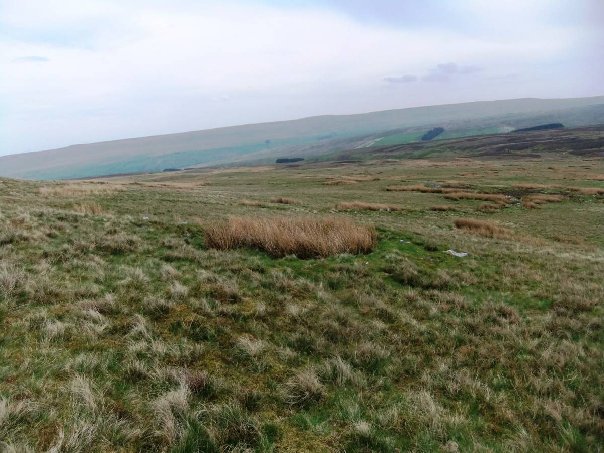
| Image 5 Description | House R and lower enclosure banks. | 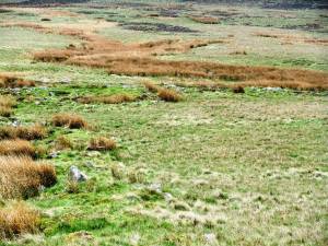 |
| Image 6 ID | 5408 Click image to enlarge |
| Image 6 Description | House A This round house is close to the modern wall and is just visible as a very low circular stone bank. View northward to Harland Hill across the settlement. | 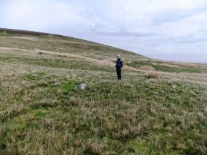 |
| Image 7 ID | 5428 Click image to enlarge |
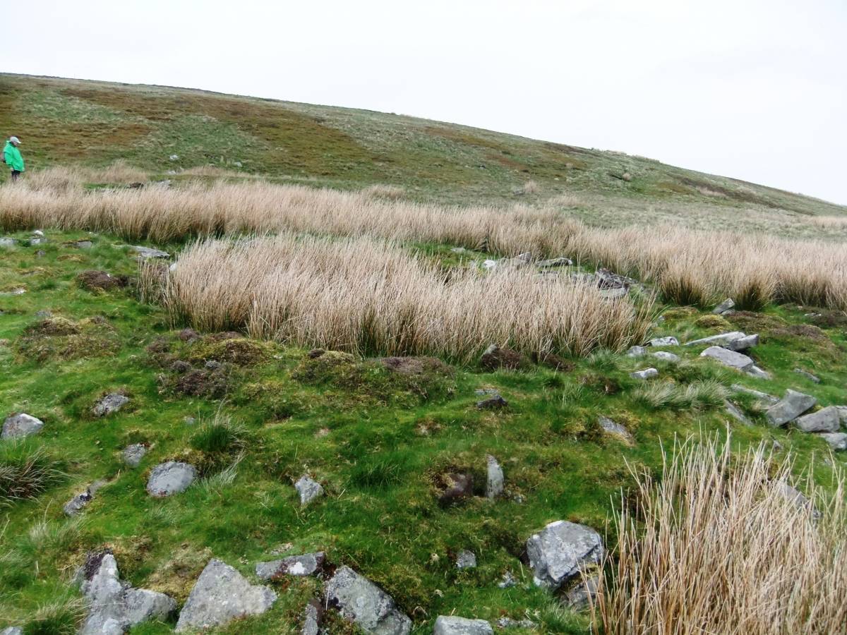
| Image 7 Description | House J and abutting enclosure bank. In contrast, the enclosure banks and house platforms are well preserved except in the vicinity of the modern wall. | 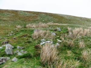 |
| Image 8 ID | 5414 Click image to enlarge |
| Image 8 Description | House C with wide entrance porch facing to the south | 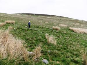 |
| Image 9 ID | 5412 Click image to enlarge |
| Image 9 Description | House A in foreground with the lower enclosure bank much reduced by stone robbing, just visible higher up | 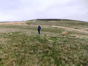 |
| Image 10 ID | 5413 Click image to enlarge |
| Image 10 Description | House A and view down and over Gammersgill Moor | 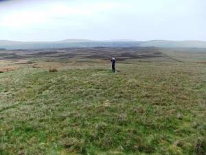 |
| Image 11 ID | 5411 |
| Image 11 Description | Structure D heavily disturbed in rushes | 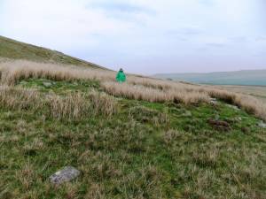 |
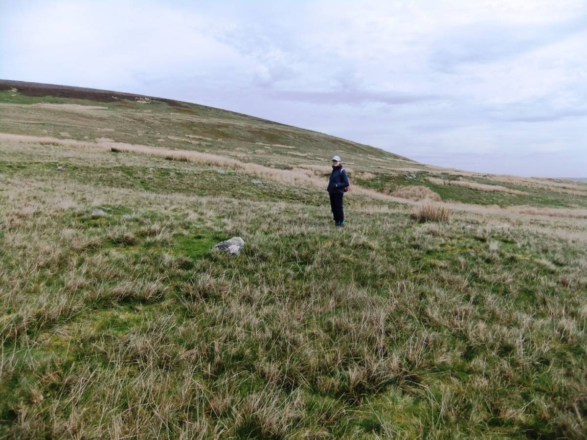
| Image 12 ID | 5423 |
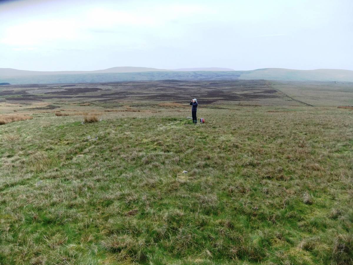
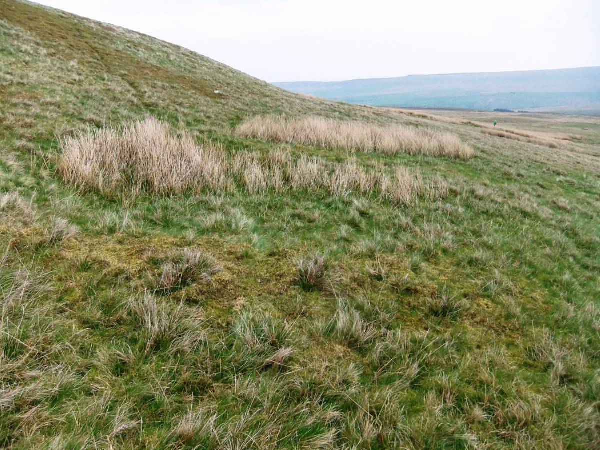
| Image 12 Description | View southward from the upper edge of the settlement. | 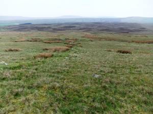 |
| Image 13 ID | 5417 |
| Image 13 Description | Upper enclosure bank heavily reduced by stone quarrying near Parish Boundary Wall | 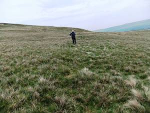 |
| Image 14 ID | 5418 |
| Image 14 Description | House platform 'E'. The rushes denote a recessed floor. | 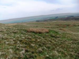 |
| Image 15 ID | 5419 |
| Image 15 Description | Pit adjacent to House Platform F | 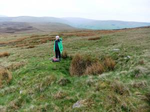 |
| Image 16 ID | 5431 |
| Image 16 Description | Enclosure bank running upslope to abut House J |  |
| Image 17 ID | 5432 |
| Image 17 Description | House Q abuts the bank between the central and eastern enclosures | 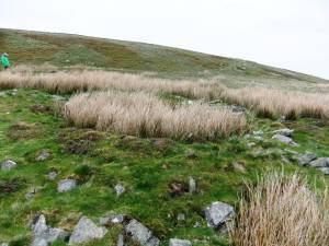 |
| Image 18 ID | 5430 |
| Image 18 Description | House Q and view westward to Walden Head | 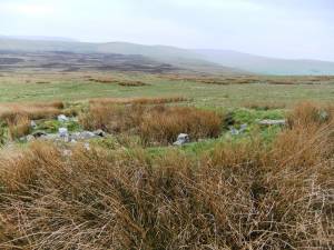 |
| Image 19 ID | 5433 |
| Image 19 Description | The lower bank, eastern enclosure. |  |
| Image 20 ID | 5424 |
| Image 20 Description | House Platforms K, L and M at the top edge of the settlement within the Central enclosure. | 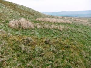 |
| Image 21 ID | 5425 |
| Image 21 Description | House Platforms K, L and M at the top edge of the settlement within the Central enclosure. |  |
| Image 22 ID | 5426 |
| Image 22 Description | House Platforms K, L and M at the top edge of the settlement within the Central enclosure. | 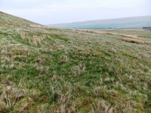 |
| Image 23 ID | 5427 |
| Image 23 Description | House Platforms K, L and M at the top edge of the settlement within the Central enclosure. | 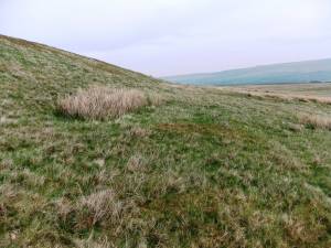 |
| Image 24 ID | 5416 |
| Image 24 Description | This large burnt mound is below Dove Scar approximately 800m to the North West of the settlement. | 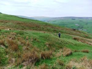 |
| Image 25 ID | 5415 |
| Image 25 Description | Burnt mound above Whitrow Farm, 1km to the west of the settlement. | 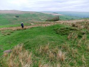 |