|
| *****SWAAG_ID***** | 796 |
| Date Entered | 06/04/2014 |
| Updated on | 07/04/2014 |
| Recorded by | Tim Laurie |
| Category | Burial Mounds and Cairns |
| Record Type | Archaeology |
| SWAAG Site Name | |
| Site Type | |
| Site Name | |
| Site Description | |
| Site Access | Public Access Land |
| Record Date | 01/04/2014 |
| Location | Semerwater Lake Edge,Stony Raise Cairn and Multi period Settlements on Greenber Edge |
| Civil Parish | Bainbridge |
| Brit. National Grid | SD 955 870 |
| Altitude | 420m |
| Geology | Lower Carboniferous strata of the Yoredale Series capped by Namurian strata (Millstone Grit) on the highest ground,(Kendall and Wroot 1924) |
| Record Name | SWAAG Visit to Semerwater and Walk from Carpley Green to Stony Raise and Greenber Edge to |
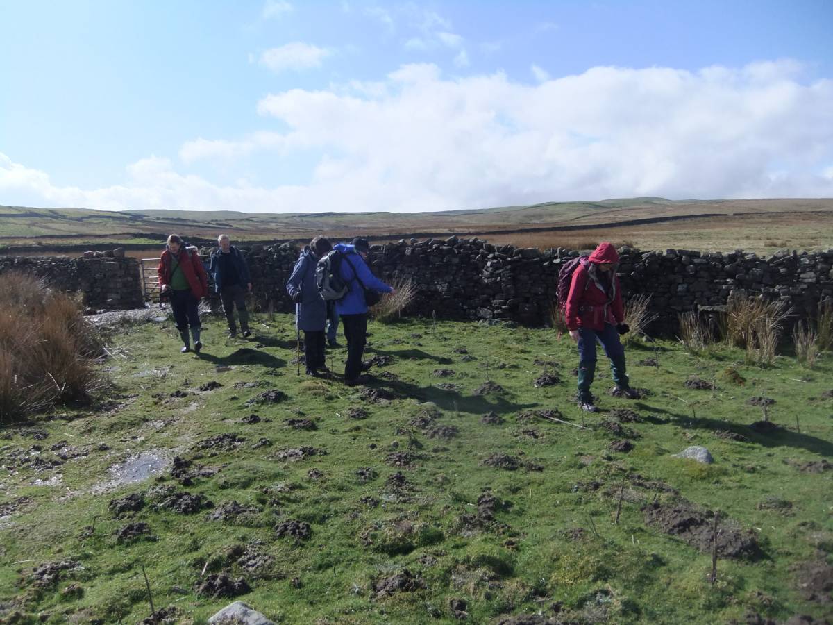
| Record Description | This is a photographic record of a visit by SWAAG Members on a fine spring day to Semerwater Lake Edge followed by a walk to see Stony Raise, one of the largest of all prehistoric cairns in the North of England and to visit the complex of shieling type settlements which are located at an elevation of 420m over a distance of approximately 1km on the broad elevated moorland terrace to the east of Stony Raise Cairn.
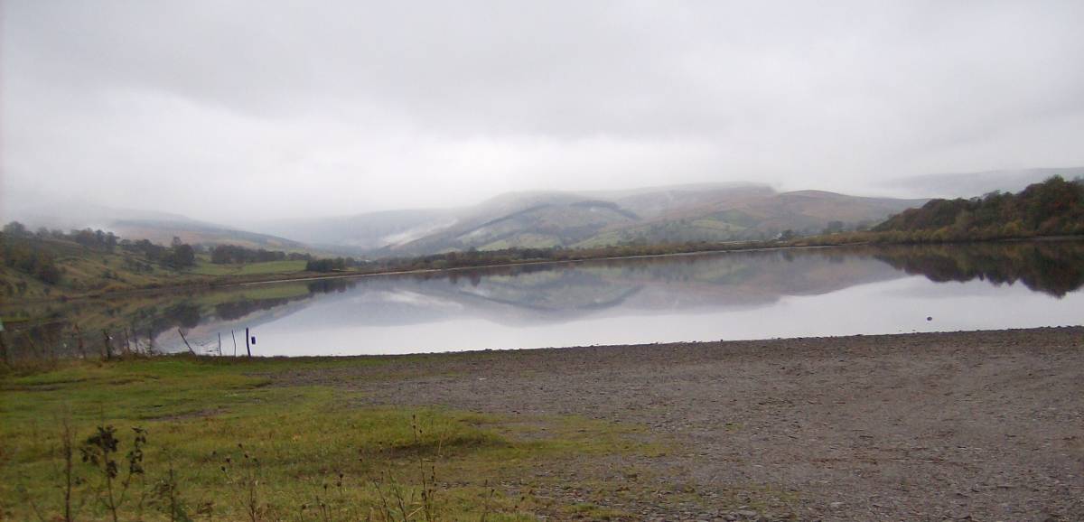
The Group convened at Semerwater lake Edge at 10.00am when the mists were rising and the lake very quiet. Semerwater Lake Edge has been the focus of prehistoric human occupation and activities from early post glacial time.
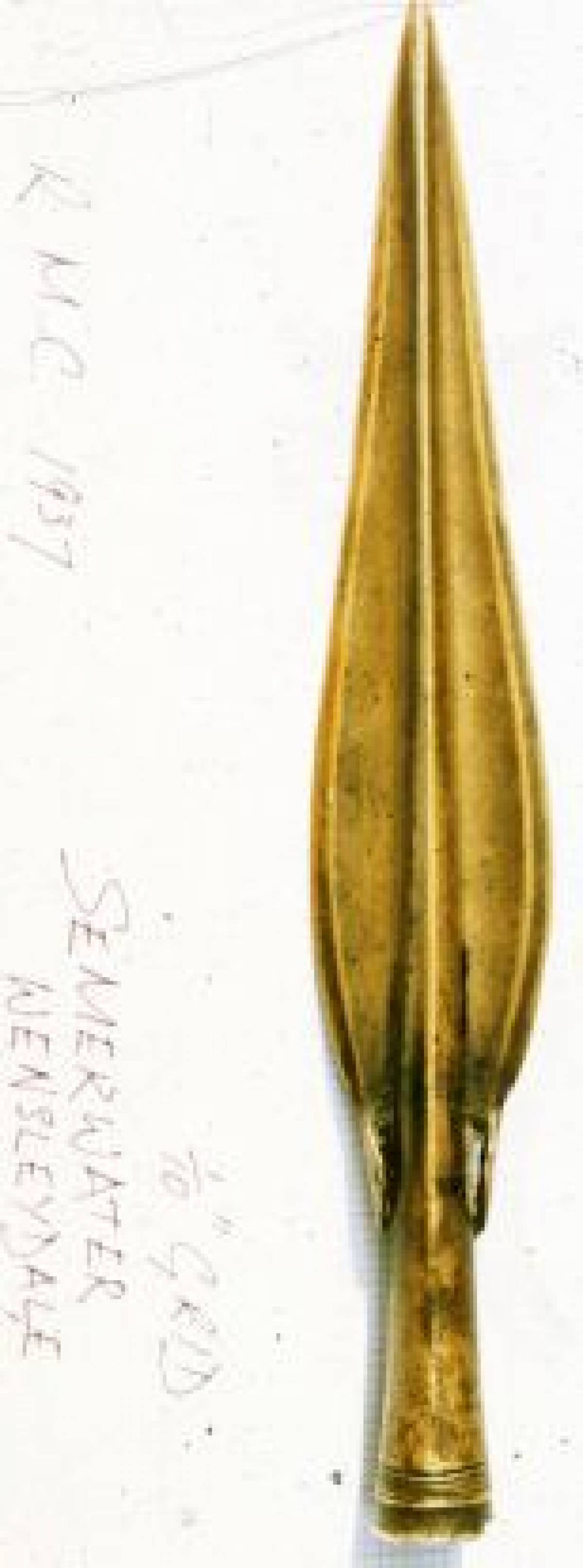
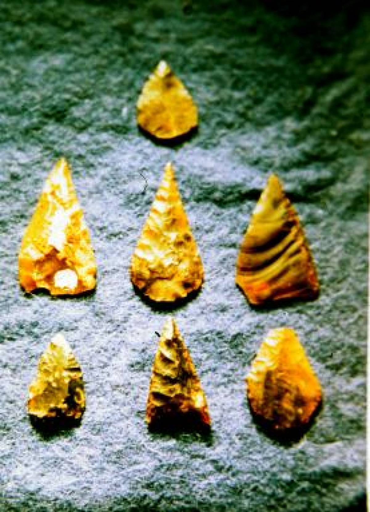
Evidence for these activities include a large volume of humanly worked animal bones which arise from the disposal into the lake (so as not to encourage scavenging of camp sites by predators) of butchered and partially worked bones of different species including Red Deer, Wild Ox, wolf or Dog a microlithic assemblage of Later Mesolithic Character together with a fair number of arrow points of Neolithic and Bronze Age Date. The spectacular find from Semerwater was of a decorated bronze spearhead of Middle Bronze Age ,Irish Type found by a school party when the level of the Lake was lowered for dreging operations during 1937, beneath a flat stone close to the causeway of a probable Crannog Lake Dwelling (see SWAAG Record to follow).
All these finds are currently on display at the Dales Countryside Museum.
Lithic finds and a series of fossil finds made during this walk are to be recorded as separate records to follow this record.
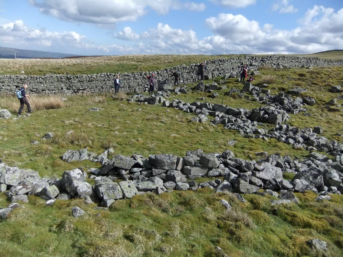
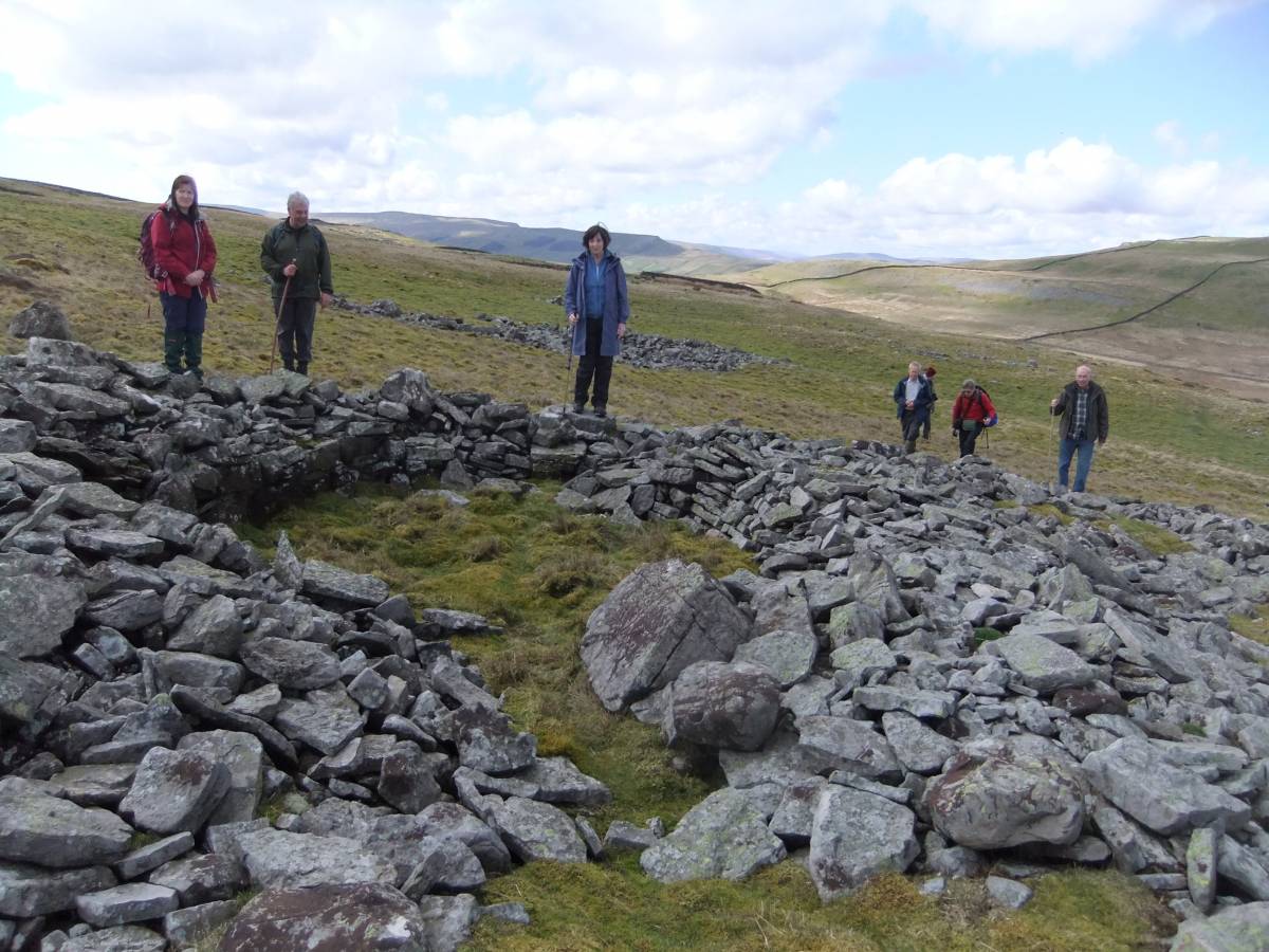
The Greenber Edge Settlement Complex has been surveyed by RCHME Newcastle and, in the absence of any excavation, they concluded that the whole complex comprises at least five prehistoric round house (Phase One) which underlie a Main Phase Two consisting of four distinct farmsteads each comprised of rectangular buildings of characteristic medieval form within curvilinear enclosuresbounded by low stone banks. Finally the Phase Two enclosures are overlain by ruined stone walled post medieval sheepfold Phase Three Structures. This phasing was acknowledged as provisional and it is possible that there exists an element of Romano British Occupation with circular hut structures as the one example which has been excavated, without record see Image No 27 below . |
| Dimensions | See photos |
| Geographical area | |
| Species | |
| Scientific Name | |
| Common / Notable Species | |
| Tree and / or Stem Girth | |
| Tree: Position / Form / Status | |
| Tree Site ID | 0 |
| Associated Site SWAAG ID | 0 |
| Additional Notes | This Record is an informal diary of features seen during the walk and should be read in conjunction with SWAAG Record 795 which provides further details of the sites visited, archaeological finds and the locations of sites in the vicinity of Semerwater.
|
| Image 1 ID | 5315 Click image to enlarge |
| Image 1 Description | Semerwater seen from the road to Carpley Green | 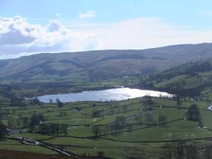 |
| Image 2 ID | 5306 Click image to enlarge |
| Image 2 Description | Reflections on Semerwater and view towards Raydale. | 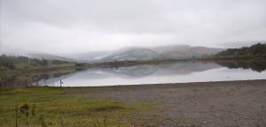 |
| Image 3 ID | 5305 Click image to enlarge |
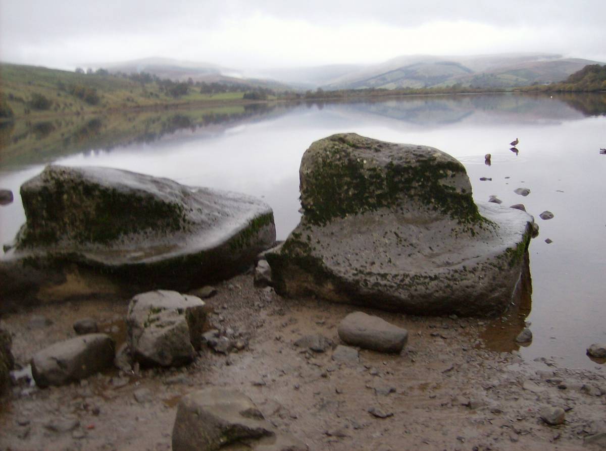
| Image 3 Description | Semerwater Lake Edge with wave-cut platforms on glacial erratic limestone boulders. | 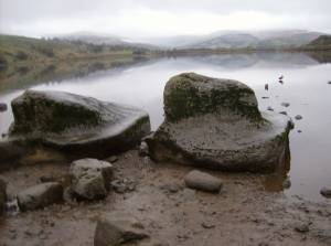 |
| Image 4 ID | 5307 Click image to enlarge |
| Image 4 Description | Semerwater. Decorated bronze spearhead of Irish Type. Middle Bronze Age. Found 1937 by school party when water level lowered, below flat stone near causeway to possible crannog. North Shore. Now in the Hawes Museum. |  |
| Image 5 ID | 5308 Click image to enlarge |
| Image 5 Description | Humanly modified and butchered animal bones including horn cores and bone of wild cattle (Bos primigenius),teeth of Red Deer, dog or wolf all found at Semerwater Lake Edge, now in the Dales Countryside Museum, Hawes. | 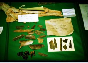 |
| Image 6 ID | 5309 Click image to enlarge |
| Image 6 Description | Neolithic arrowpoints from Semerwater Lake Edge, now in the Dales Countryside Museum, Hawes. |  |
| Image 7 ID | 5310 Click image to enlarge |
| Image 7 Description | Mesolithic artefacts from Semerwater Lake Edge, now in the Dales Countryside Museum, Hawes. | 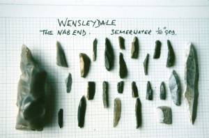 |
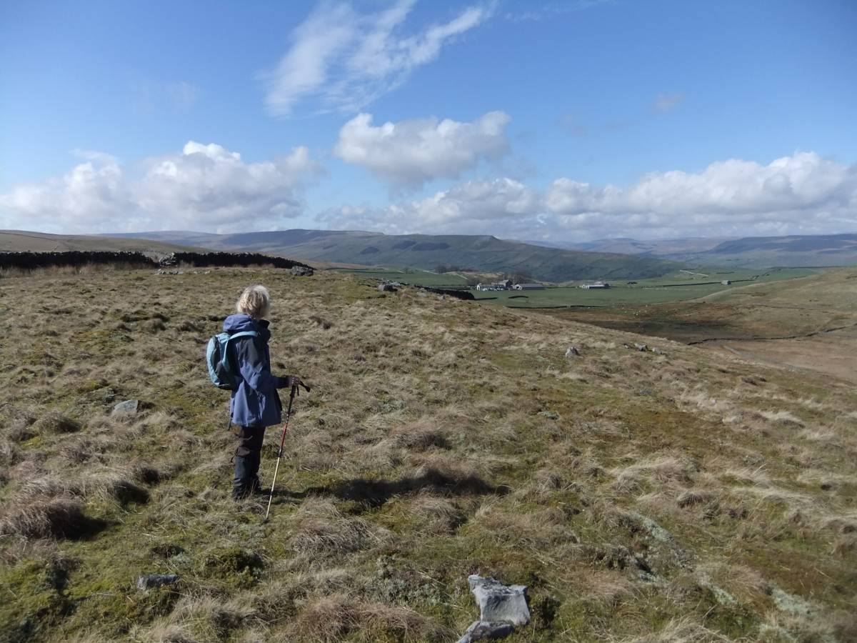
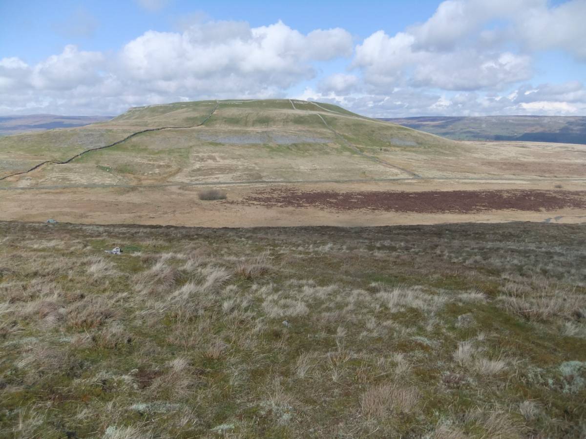
| Image 8 ID | 5314 Click image to enlarge |
| Image 8 Description | This was a very fine day for a walk in the Pennines! View westward towards Carpley Green from Greenber Edge. | 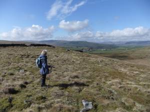 |
| Image 9 ID | 5312 Click image to enlarge |
| Image 9 Description | Possible burnt mound seen from the Stake Road. To be confirmed. |  |
| Image 10 ID | 5313 Click image to enlarge |
| Image 10 Description | Seek and ye shall find. Sometimes, when you are lucky. |  |
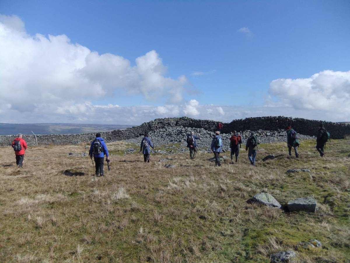
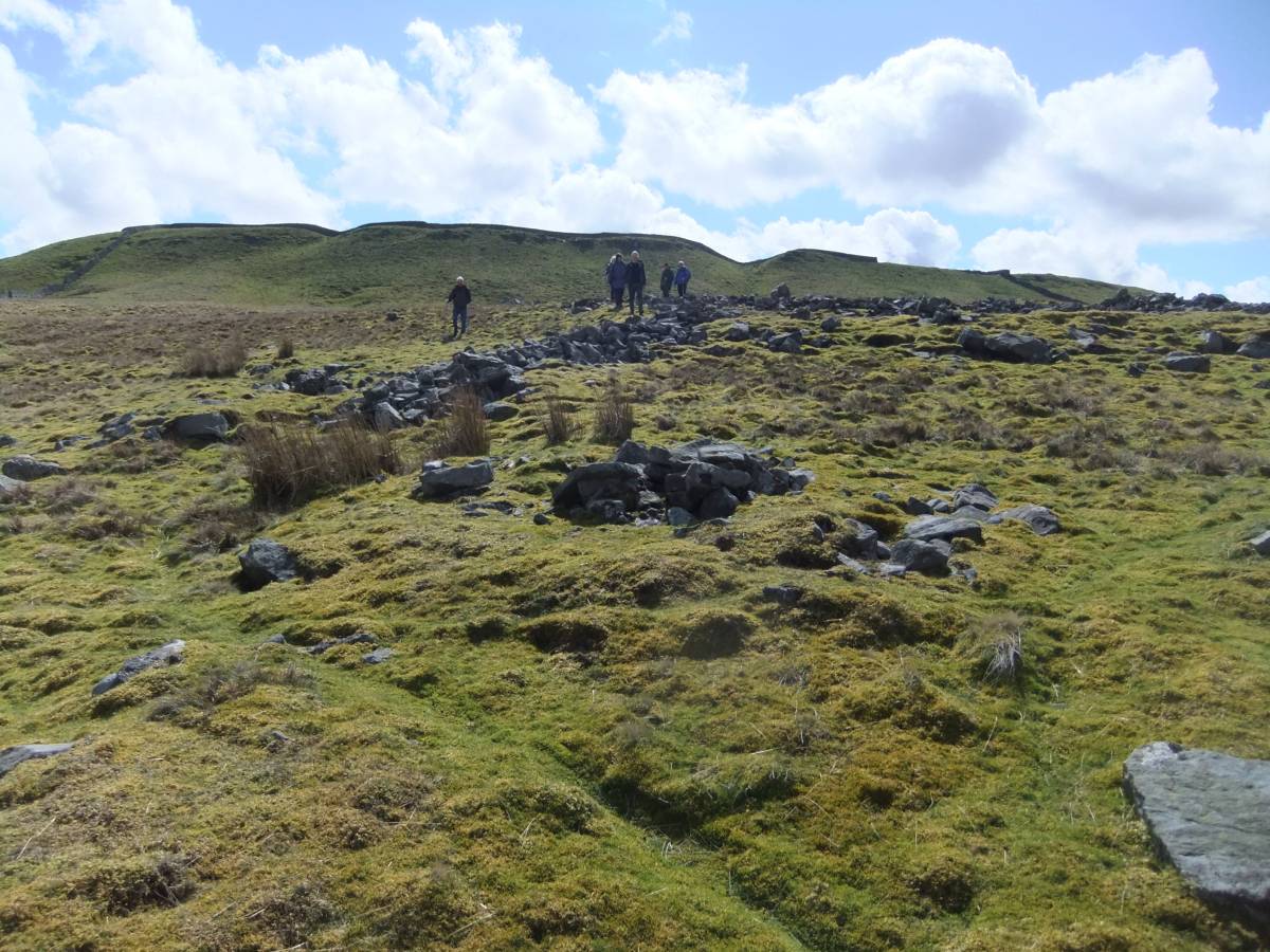
| Image 11 ID | 5316 |
| Image 11 Description | The Group approach Stony Raise Cairn which is heavily reduced by quarrying west of the stone wall which crosses the cairn. | 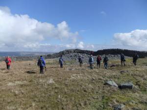 |
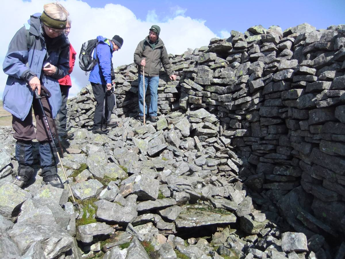
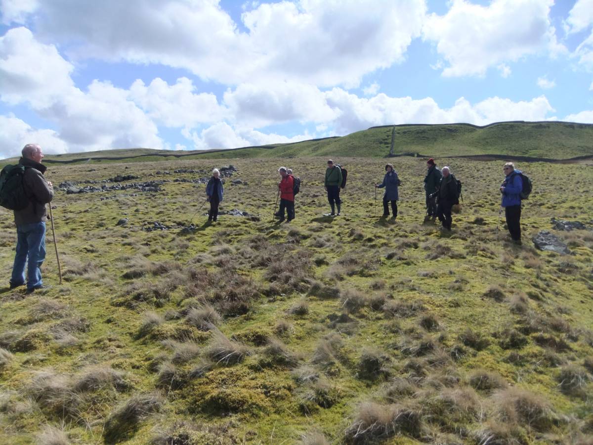
| Image 12 ID | 5317 |
| Image 12 Description | The reduced but visible perimeter of the great cairn west of the modern wall. |  |
| Image 13 ID | 5318 |
| Image 13 Description | Hillary considers the possible cist grave, possibly that recorded by Fothergill 1805 as containing 'in a hollow' possibly a cist as containing only: 'several human teeth and a large bead'. (Keith Blood and Derek Cator, 1996 'Settlement at Greenber Edge' RCHME Newcastle.) |  |
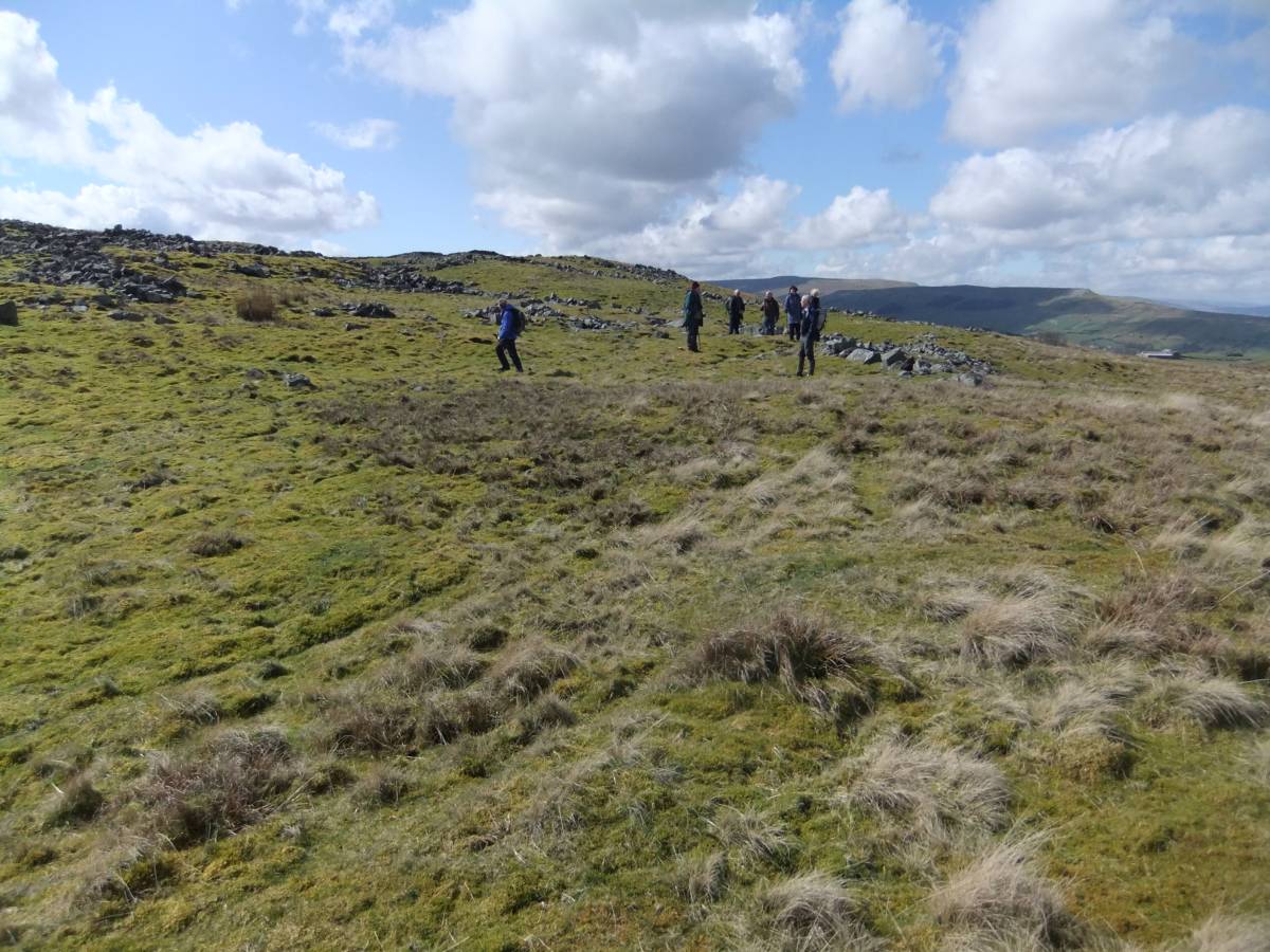
| Image 14 ID | 5319 |
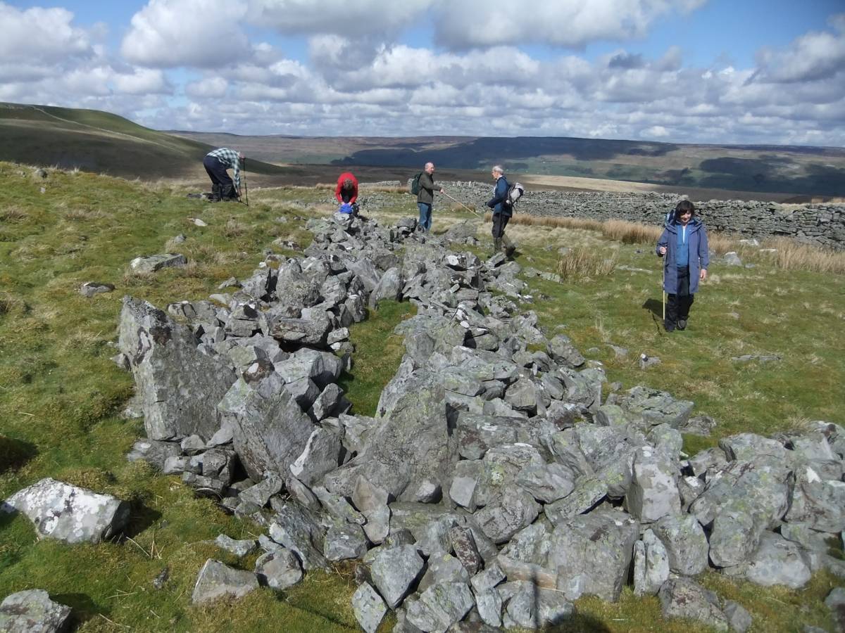
| Image 14 Description | Stony Raise east of the wall. | 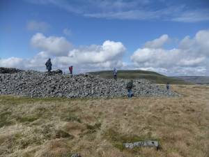 |
| Image 15 ID | 5320 |
| Image 15 Description | Addlebrough seen from Greenber Edge across Thornton Mire | 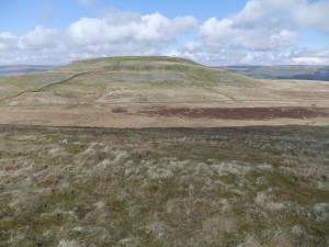 |
| Image 16 ID | 5321 |
| Image 16 Description | The eastern enclosures. View towards Stony Raise. | 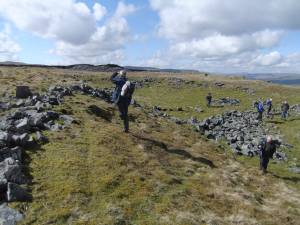 |
| Image 17 ID | 5322 |
| Image 17 Description | The enclosures with reduced cairn in foreground. |  |
| Image 18 ID | 5323 |
| Image 18 Description | Cist or kennel? Small cairn within the Phase 3 Enclosures. | 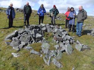 |
| Image 19 ID | 5338 |
| Image 19 Description | Thornton Mire and the glacial overflow channel below Greenber Edge seen from the track below Addlebrough and return to Carpley Green | 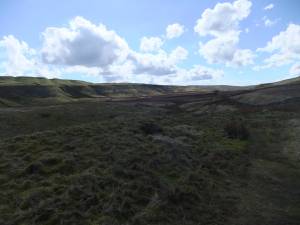 |
| Image 20 ID | 5325 |
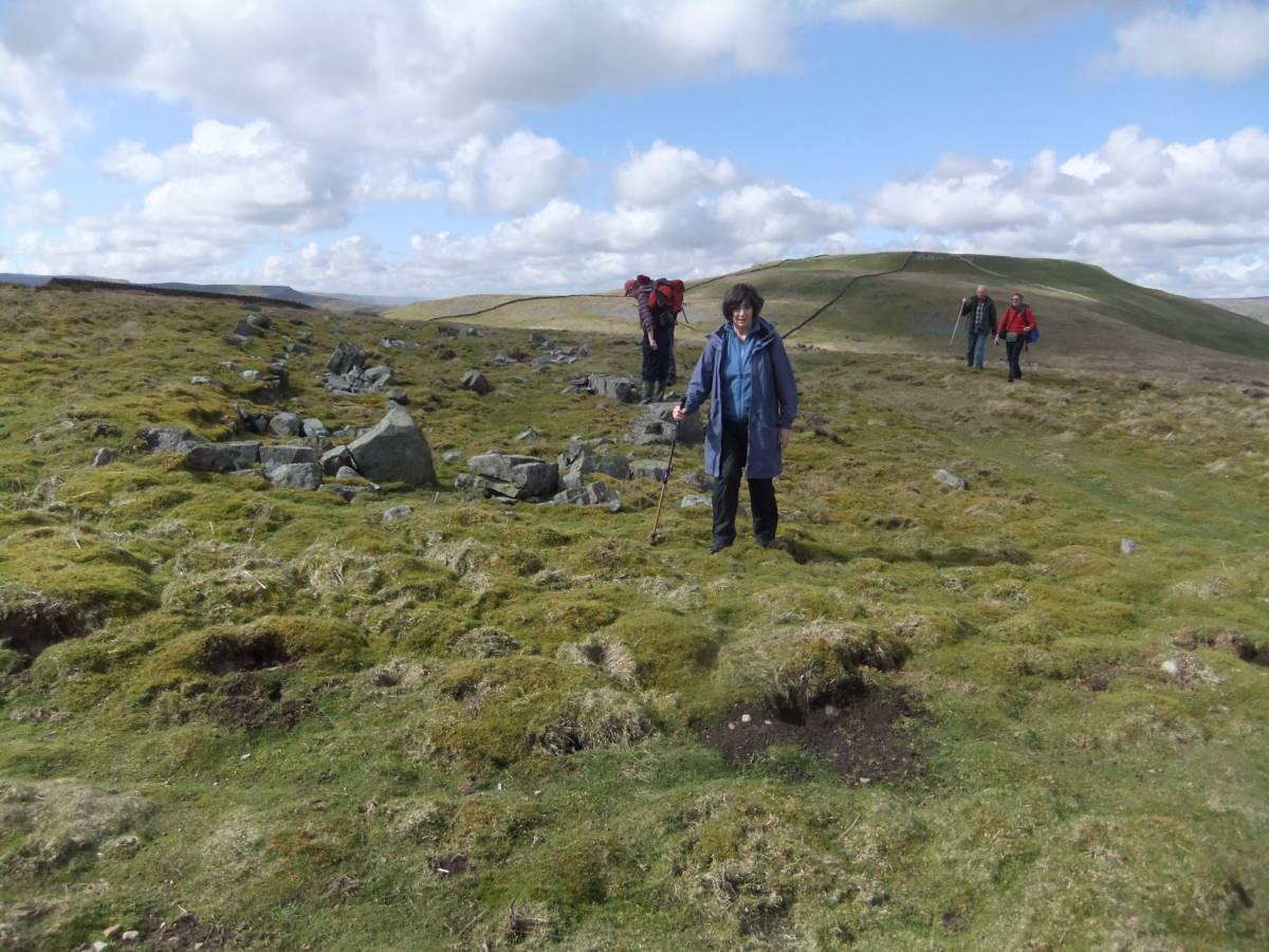
| Image 20 Description | John stands on the northern perimeter of a Phase 1 Prehistoric Round House. The Group stand on a Phase 2 enclosure bank. |  |
| Image 21 ID | 5326 |
| Image 21 Description | Jacqui on Phase 2 enclosure bank |  |
| Image 22 ID | 5327 |
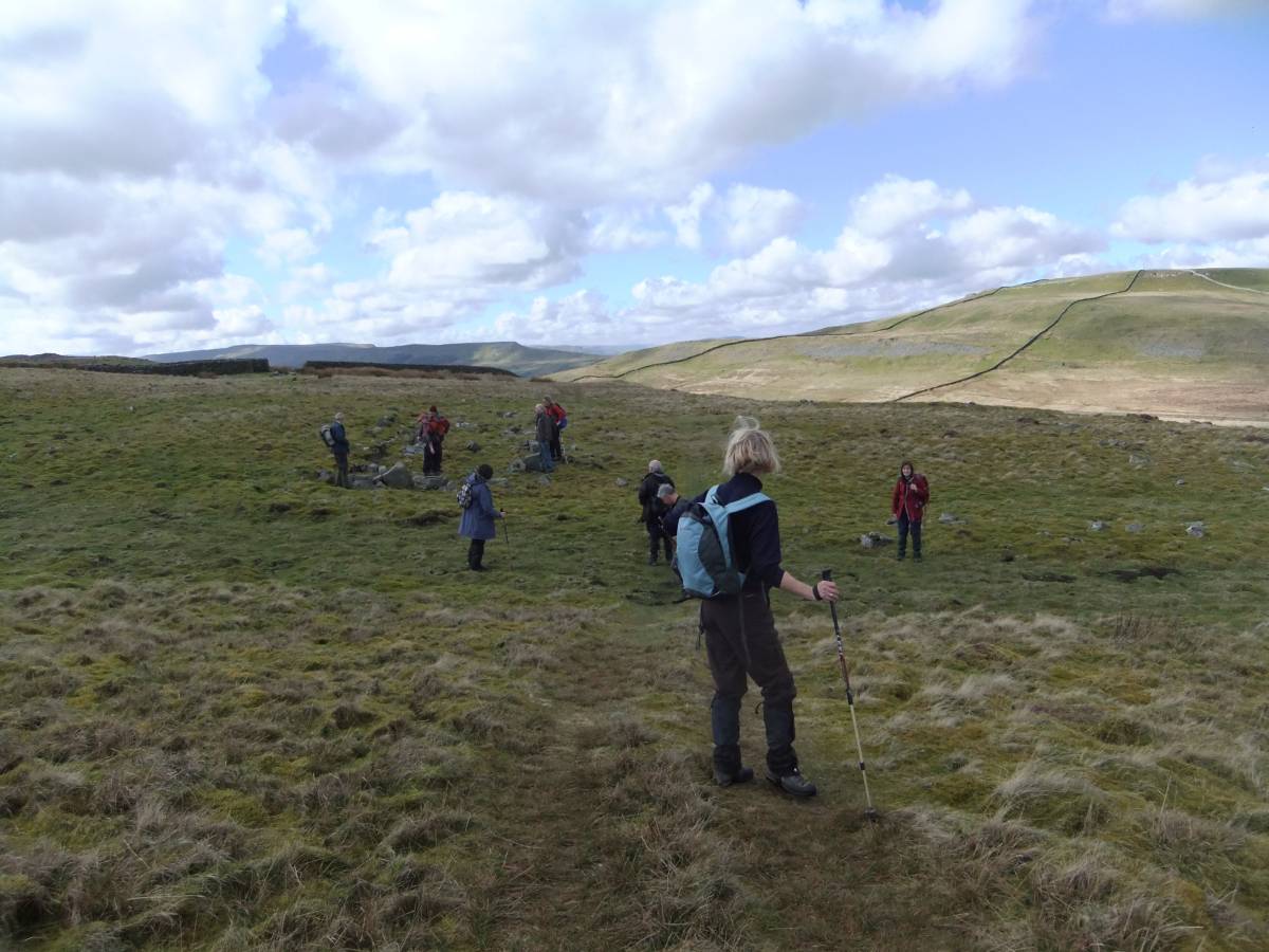
| Image 22 Description | Eastern half of the Greenber Edge settlement complex |  |
| Image 23 ID | 5328 |
| Image 23 Description | Enclosures with wall passage features. | 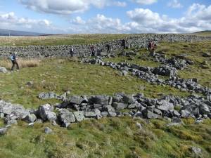 |
| Image 24 ID | 5329 |
| Image 24 Description | Detail of wall passage |  |
| Image 25 ID | 5330 |
| Image 25 Description | Phase 2 Medieval Rectangular building with faced wall. |  |
| Image 26 ID | 5332 |
| Image 26 Description | Hillary looks back at the Group approaching the Medieval Phase 2 rectangular building | 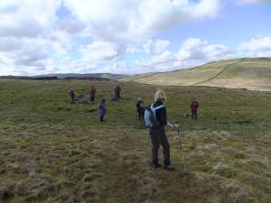 |
| Image 27 ID | 5333 |
| Image 27 Description | Circular building, one of three conjoined circular structures. The interior of this structure was excavated during the excavations at Bainbridge Fort. No records exist of this work but the finds included Roman Pottery sherds,I was informed. |  |
| Image 28 ID | 5334 |
| Image 28 Description | Phase 2 medieval rectangular building with view across Wensleydale | 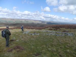 |
| Image 29 ID | 5335 |
| Image 29 Description | Ann with her lithic finds, see separate SWAAG record to follow, for formal photographs and details. | 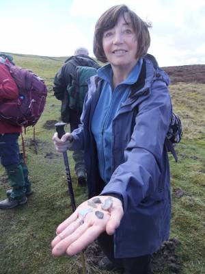 |
| Image 30 ID | 5336 |
| Image 30 Description | This group of five lithic finds from molehills includes a very fine unpatinated flint tanged arrowpoint (Green 1984,Sutton Type E barbs absent) of Late Neolithic to Mid Bronze Age 2500-1200BC date, a flint scraper, a white patinated flint flake and two flakes of black Pennine chert. | 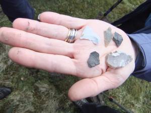 |