|
| *****SWAAG_ID***** | 797 |
| Date Entered | 08/04/2014 |
| Updated on | 08/04/2014 |
| Recorded by | David Saville |
| Category | Photographic Record |
| Record Type | Miscellaneous |
| SWAAG Site Name | |
| Site Type | |
| Site Name | |
| Site Description | |
| Site Access | Public Access Land |
| Record Date | 01/04/2014 |
| Location | Greenber Edge on the North side of Stake Fell, East os Semmer Water. |
| Civil Parish | Bainbridge |
| Brit. National Grid | |
| Altitude | |
| Geology | Lower Carboniferous strata of the Yoredale Series |
| Record Name | Supplemental photographs of SWAAG walk below Stake Fell (see also #796) |
| Record Description | Supplemental photographs of a SWAAG walk, meeting at Semmer Water then driving to Carperby Green and walking along Greenber edge below Stake Fell. For full details see the main record #796. |
| Dimensions | |
| Geographical area | |
| Species | |
| Scientific Name | |
| Common / Notable Species | |
| Tree and / or Stem Girth | |
| Tree: Position / Form / Status | |
| Tree Site ID | 0 |
| Associated Site SWAAG ID | 0 |
| Additional Notes | |
| Image 1 ID | 5341 Click image to enlarge |
| Image 1 Description | A misty Semmer Water at the start of the day. | 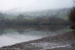 |
| Image 2 ID | 5342 Click image to enlarge |
| Image 2 Description | Setting off from Carperby Green and walking up Busk Lane. Stake fell is on the left. | 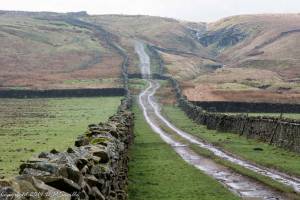 |
| Image 3 ID | 5343 Click image to enlarge |
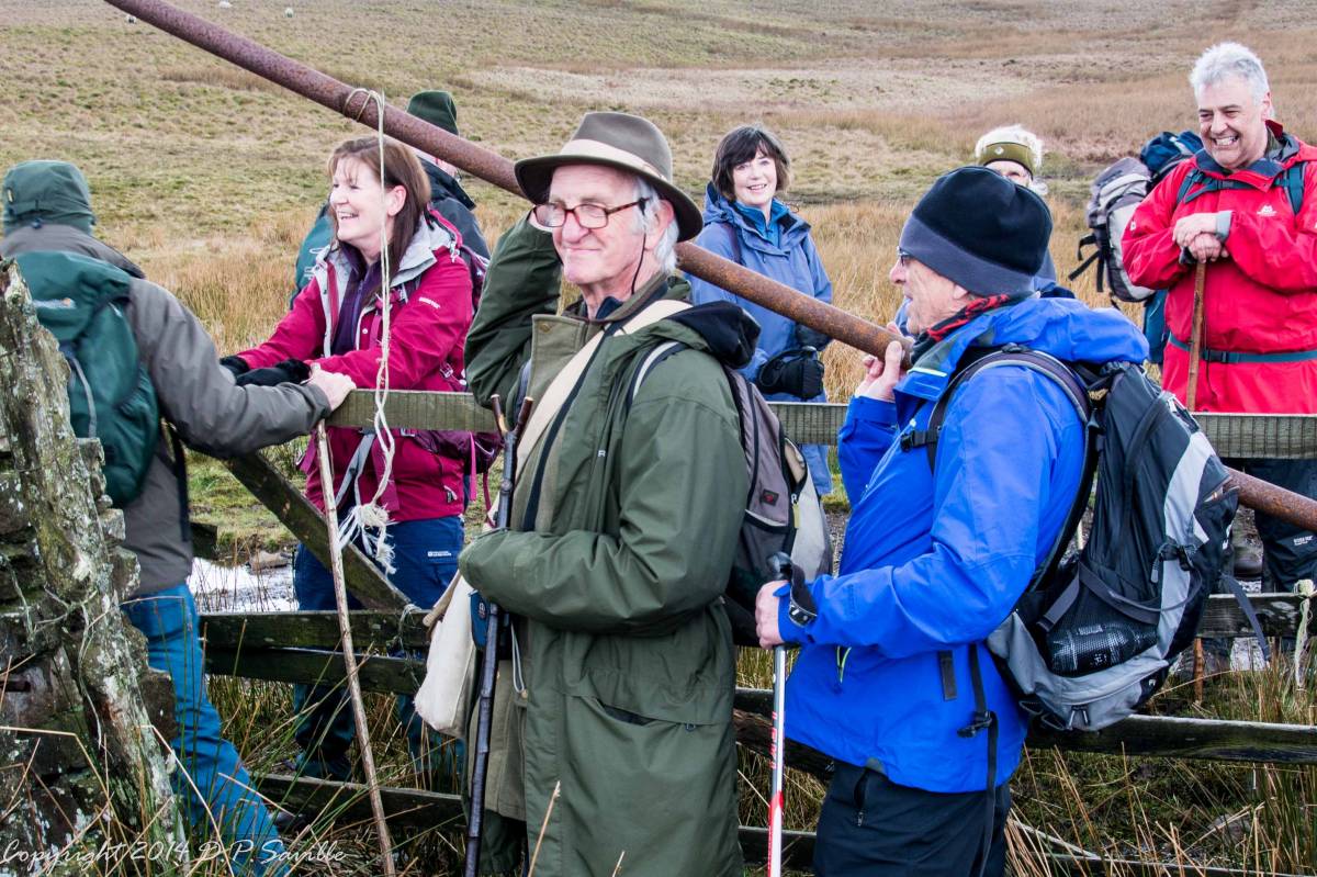
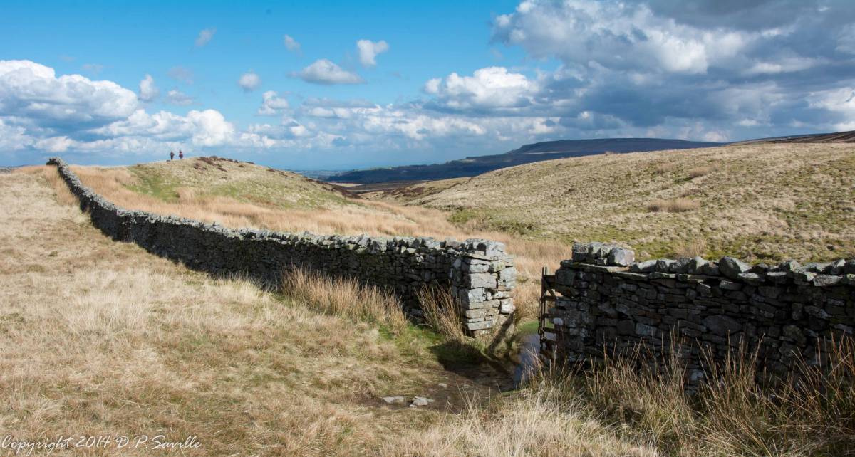
| Image 3 Description | Negotiating a rather soggy gate; twice! |  |
| Image 4 ID | 5344 Click image to enlarge |
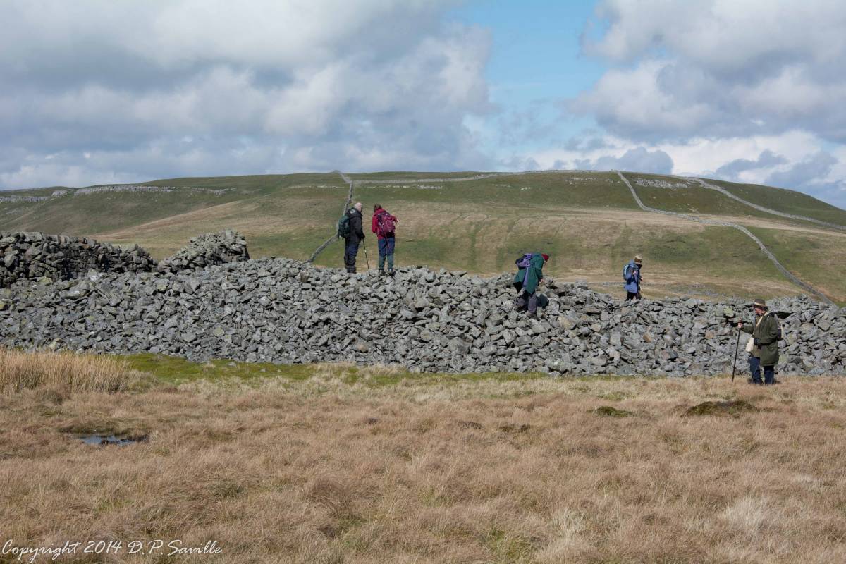
| Image 4 Description | Stony Raise Cairn. | 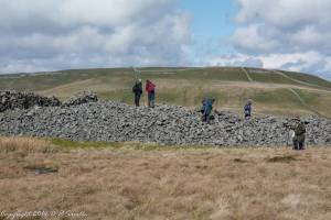 |
| Image 5 ID | 5345 Click image to enlarge |
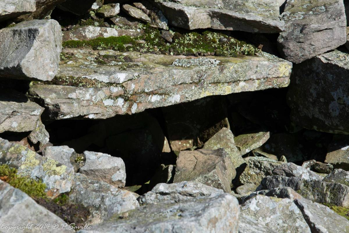
| Image 5 Description | A possible cist on Stony Raise Cairn. | 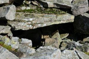 |
| Image 6 ID | 5346 Click image to enlarge |
| Image 6 Description | and then we found this superb Neolithic arrowhead. | 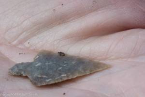 |
| Image 7 ID | 5347 Click image to enlarge |
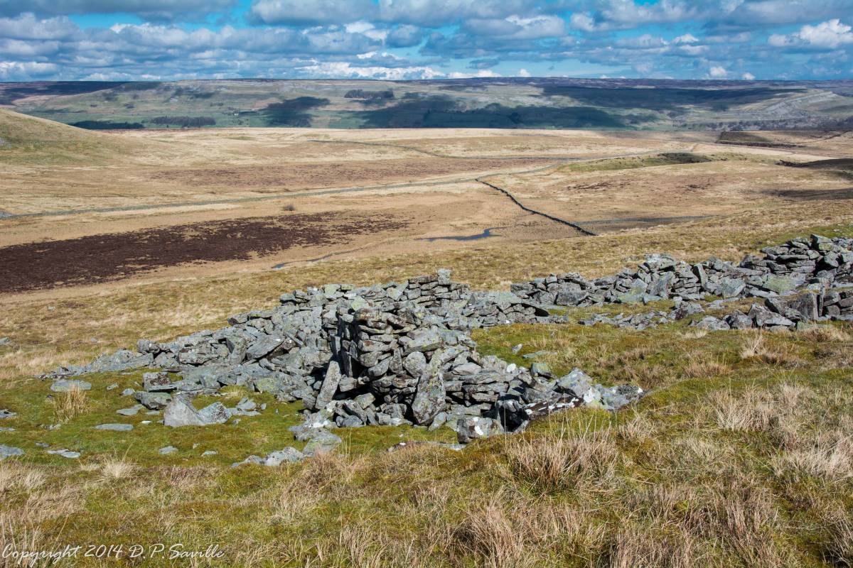
| Image 7 Description | Remains of a possible mediaeval rectangular building on Greenber Edge with the glacial overflow channel of Thornton Mire below. | 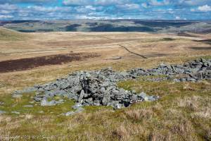 |
| Image 8 ID | 5348 Click image to enlarge |
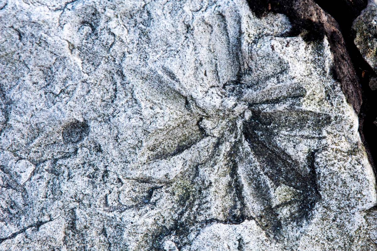
| Image 8 Description | When descending a scree slope on Greenber edge we found a number of fossils in sandstone including what appeared to be segmented worms and a number of these pictured which we were unable to identify in the field.
|  |
| Image 9 ID | 5349 Click image to enlarge |
| Image 9 Description | Near the end of day returning on the lower slopes of Addlebrough back to the cars; looking SE. |  |