|
| *****SWAAG_ID***** | 810 |
| Date Entered | 07/06/2014 |
| Updated on | 07/06/2014 |
| Recorded by | Tim Laurie |
| Category | Earthworks |
| Record Type | Archaeology |
| SWAAG Site Name | |
| Site Type | |
| Site Name | |
| Site Description | |
| Site Access | Private |
| Record Date | 06/06/2014 |
| Location | Carlton in Coverdale |
| Civil Parish | Carlton Town |
| Brit. National Grid | SE 0670 8463 |
| Altitude | 250m |
| Geology | Glacial till over limestones. |
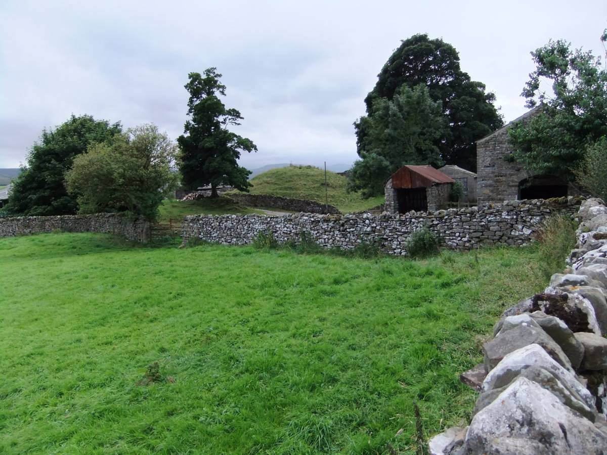
| Record Name | Carlton in Coverdale. Round Hill- a small Norman Motte. |
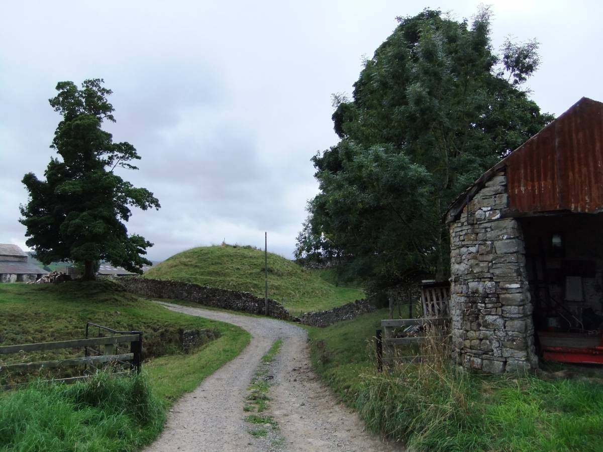
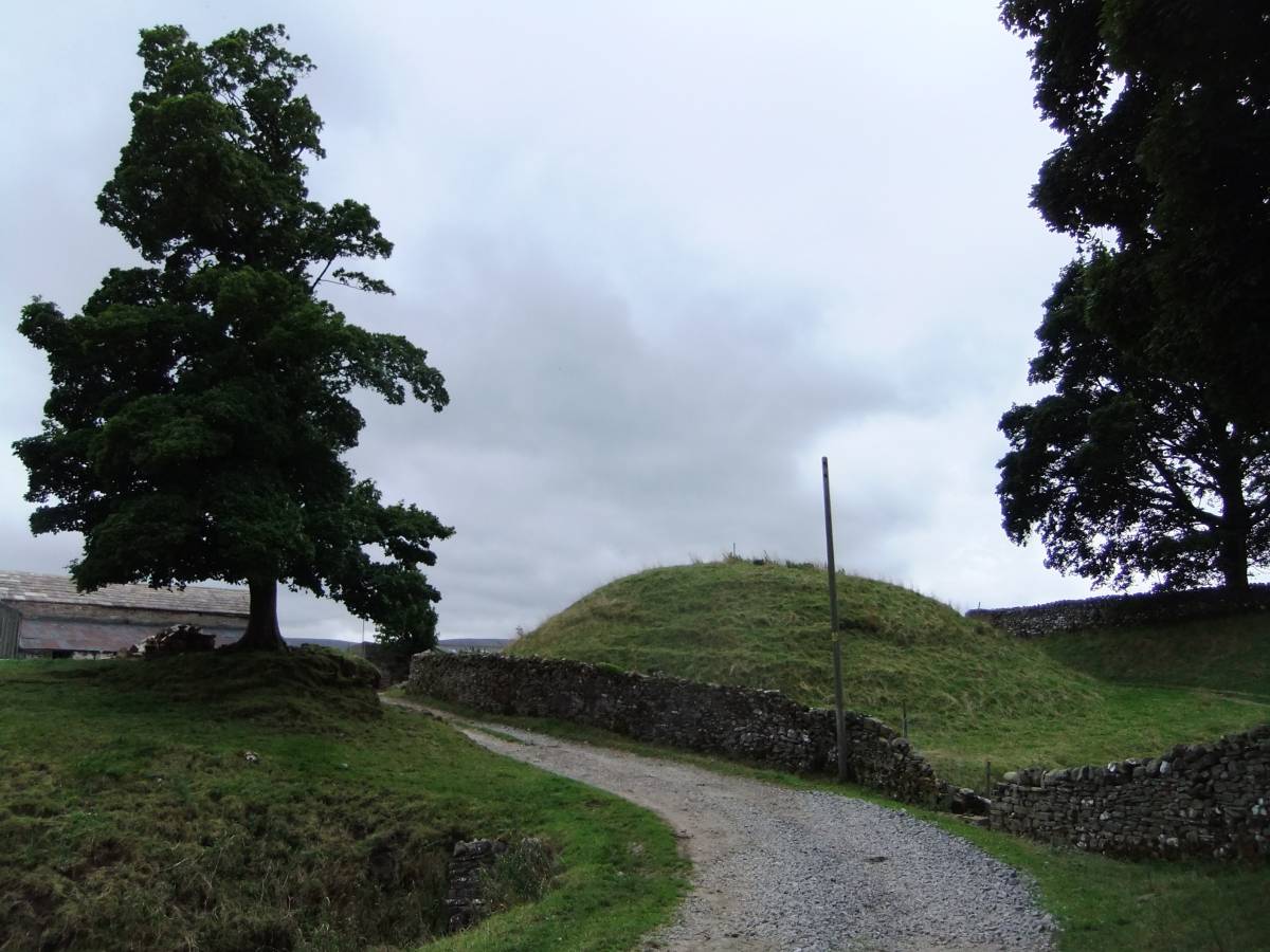
| Record Description | This small but very distinctive and well preserved circular steep sided mound is visible from the roadside through Carlton and is named on the OS 1:25000 map. This steep sided earthen mound would have supported a small timber fortlet, an outpost of the much more considerable and regional Norman Power located close to Middleham at William Hill, the great Motte and Bailey Earthworks which preceded the Medieval Castle. This small Motte was located so as to control the route through Coverdale. |
| Dimensions | See photgraphs |
| Geographical area | |
| Species | |
| Scientific Name | |
| Common / Notable Species | |
| Tree and / or Stem Girth | |
| Tree: Position / Form / Status | |
| Tree Site ID | 0 |
| Associated Site SWAAG ID | 0 |
| Additional Notes | This relatively small, steep sided mound does show that Norman Power extended to outposts located so as to control, not only the gateway settlements of Barnard Castle and Richmond at the entrance to the Dales, but also to the Dales themselves. This earthwork may be an element in the systematic local control of the rural Dales population following or contemporary with the harrowing of the North. |
| Image 1 ID | 5444 Click image to enlarge |
| Image 1 Description | Round Hill Motte seen from the roadside at Carlton. | 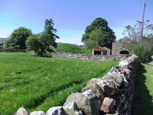 |
| Image 2 ID | 5445 Click image to enlarge |
| Image 2 Description | | 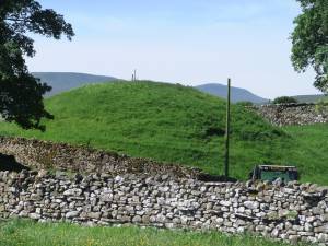 |
| Image 3 ID | 5446 Click image to enlarge |
| Image 3 Description | | 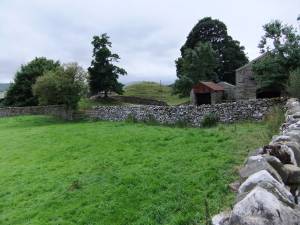 |
| Image 4 ID | 5447 Click image to enlarge |
| Image 4 Description | | 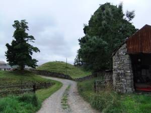 |
| Image 5 ID | 5448 Click image to enlarge |
| Image 5 Description | The Motte may also have been defended by a deep ditch and draw bridge. | 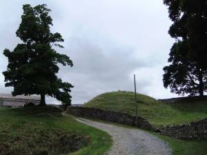 |