|
| *****SWAAG_ID***** | 814 |
| Date Entered | 12/07/2014 |
| Updated on | 15/09/2014 |
| Recorded by | Doug Waugh |
| Category | Enclosure |
| Record Type | Archaeology |
| SWAAG Site Name | |
| Site Type | |
| Site Name | |
| Site Description | |
| Site Access | Public Access Land |
| Record Date | 12/06/2014 |
| Location | Grinton Moor above Grovebeck Gill oppposite the end of the Earthworks. |
| Civil Parish | Grinton |
| Brit. National Grid | SE 04131 97355 |
| Altitude | |
| Geology | |
| Record Name | Complex group of enclosures above Grinton Gill |
| Record Description | To find this group of 2/3 small, conjoined stone-dump, embanked enclosures (approx 9m x 8m), leave the Grinton to Redmire road at SE 044974 on the track to Grovebeck Gill and High Harker Hill and proceed on the track for approx 400 strides (280 metres). At this point to the North of the track, about 7.5 metres away, is a large (80cm x 80cm) stone, number 1 of 4 in a rough line (3mtrs, 1mtr and 2.5mtrs apart).
To the west of stone 1 is an irregular area, enclosure 1, roughly 2mtr x 1mtr surrounded on all sides bar SE corner (where there are two stones) by a low mound of variable height (up to 20cms) and width (1m 10cms to 70 cms). To the N of enclosure 1 is a larger, more rectangular area (internally 2 mtrs x 3.5 mtrs), enclosure 2, again surrounded by low mounds of larger breadth (up to 3mtrs). The East side features large stones 2 and 3 and internally has the straightest edge. The north edge is marked by 50cms break in the mound at its western end, possibly an entrance. There is a less discernable mound to the NE of this area, emclosure 3, with fewer stones visible and a less obvious shape.
Following a further visit by myself and Tim Laurie, this problematic site was interpreted as more likely to be related to the field banks that cross this area, making it more likely to be a quarried stone dump or irregular cairn. The possibility remains for it to be a conjoined series of ring cairns but the evidence is not there to point to that being a conclusive explanation.
|
| Dimensions | |
| Geographical area | |
| Species | |
| Scientific Name | |
| Common / Notable Species | |
| Tree and / or Stem Girth | |
| Tree: Position / Form / Status | |
| Tree Site ID | 0 |
| Associated Site SWAAG ID | 0 |
| Additional Notes | |
| Image 1 ID | 5544 Click image to enlarge |
| Image 1 Description | The site, looking NE from the track. Taken Nov 2013. | 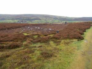 |
| Image 2 ID | 5545 Click image to enlarge |
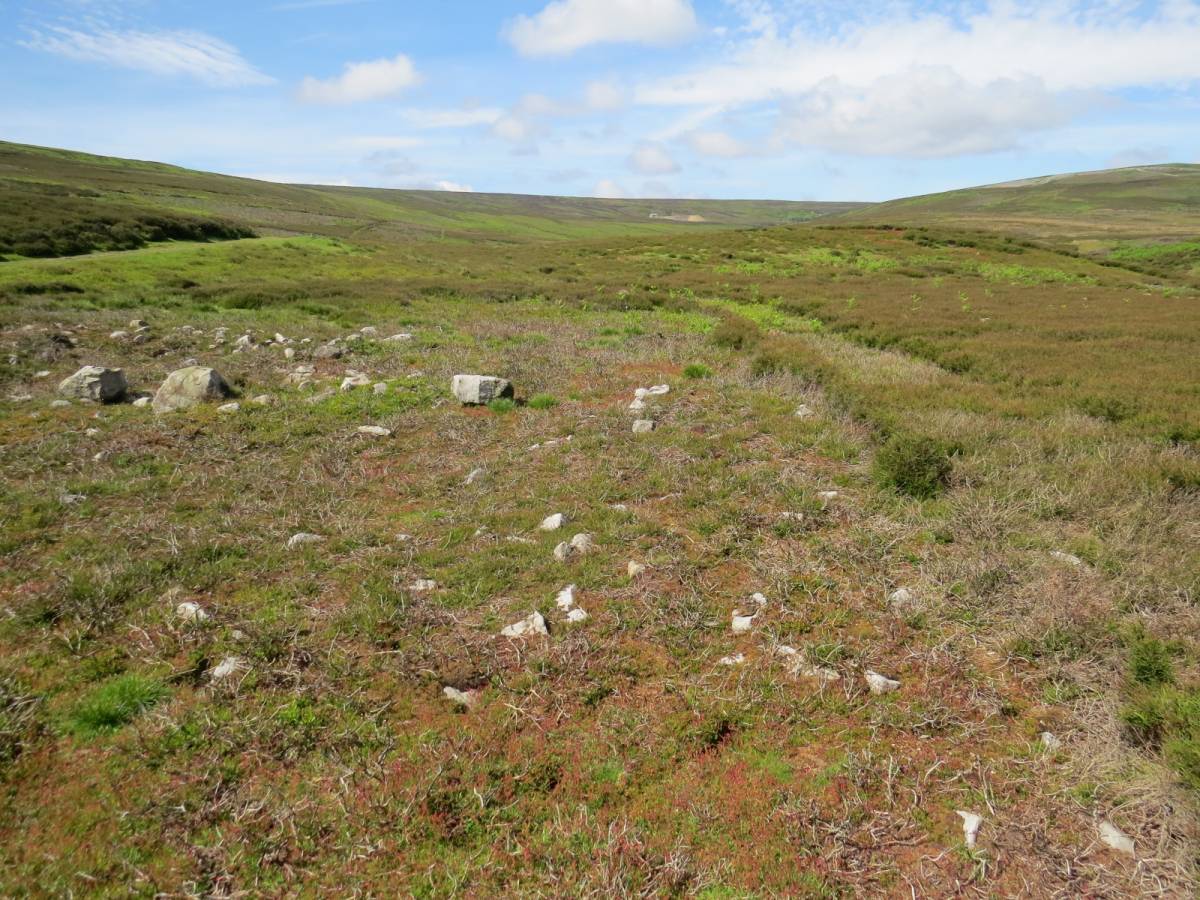
| Image 2 Description | Looking S across the site. Taken Nov 2013. |  |
| Image 3 ID | 5546 Click image to enlarge |
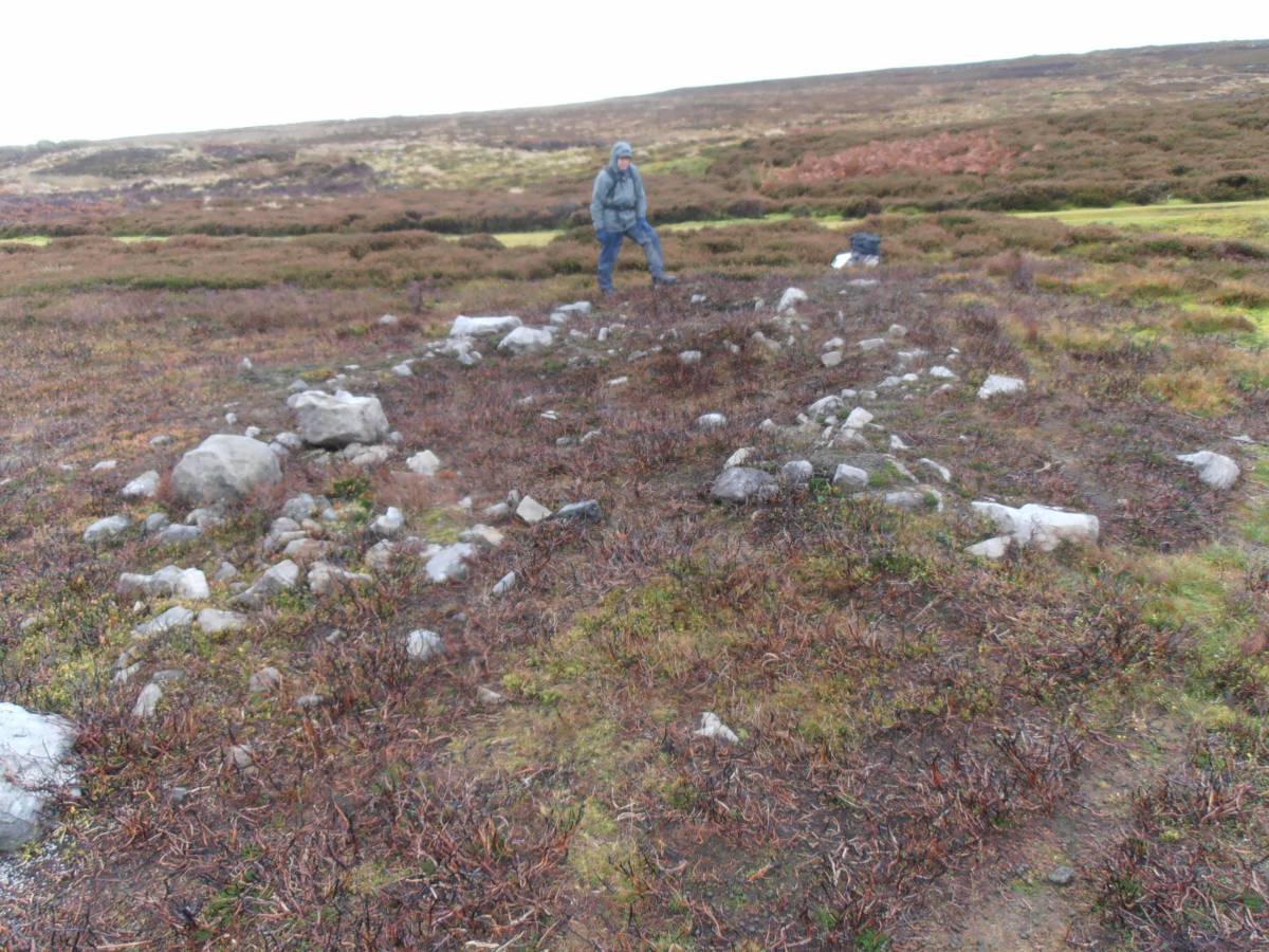
| Image 3 Description | The first enclosed area, looking S. Large stone number 1 is the triangular stone to the NE of the photo while the stone featured in image 5151 is the first one to left of the person as you look at the photo. Taken Nov 2013. | 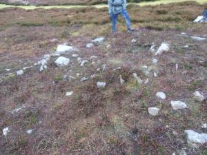 |
| Image 4 ID | 5547 Click image to enlarge |
| Image 4 Description | Looking W towards the hunting lodge at Grovebeck mine, this shows the large mainly rectangular area with large stones 2 and 3. | 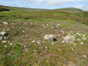 |
| Image 5 ID | 5548 Click image to enlarge |
| Image 5 Description | Looking W towards the hunting lodge at Grovebeck mine, this shows the North end of the site including the large mainly rectangular area and the mound to the N and E of it. |  |
| Image 6 ID | 5553 Click image to enlarge |
| Image 6 Description | An example of where animals and birds have revealed stones in a bank. | 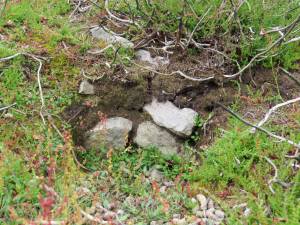 |
| Image 7 ID | 5554 Click image to enlarge |
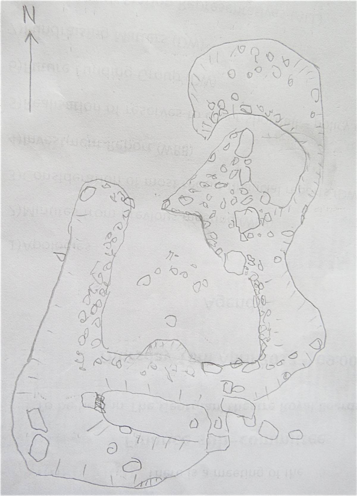
| Image 7 Description | A sketch of the site (NOT to scale) showing the three enclosures and their relationships. The enclosures are numbered 1,2,3 as you progress north across the site. | 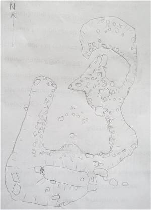 |
| Image 8 ID | 5555 Click image to enlarge |
| Image 8 Description | This site is located within the coaxial field system which extends across the whole of Grinton Moor and this plan is taken from Coaxial Field Systems in Swaledale: A Reassessment by TC Laurie, NW Mahaffy and RF White, July 2010. The site is within the area G4 opposite the end of the Earthworks. | 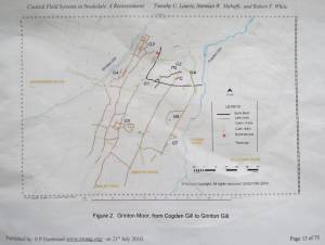 |