|
| *****SWAAG_ID***** | 803 |
| Date Entered | 13/04/2014 |
| Updated on | 13/04/2014 |
| Recorded by | Tim Laurie |
| Category | Mining Related |
| Record Type | Mining |
| SWAAG Site Name | |
| Site Type | |
| Site Name | |
| Site Description | |
| Site Access | Private |
| Record Date | 09/04/2014 |
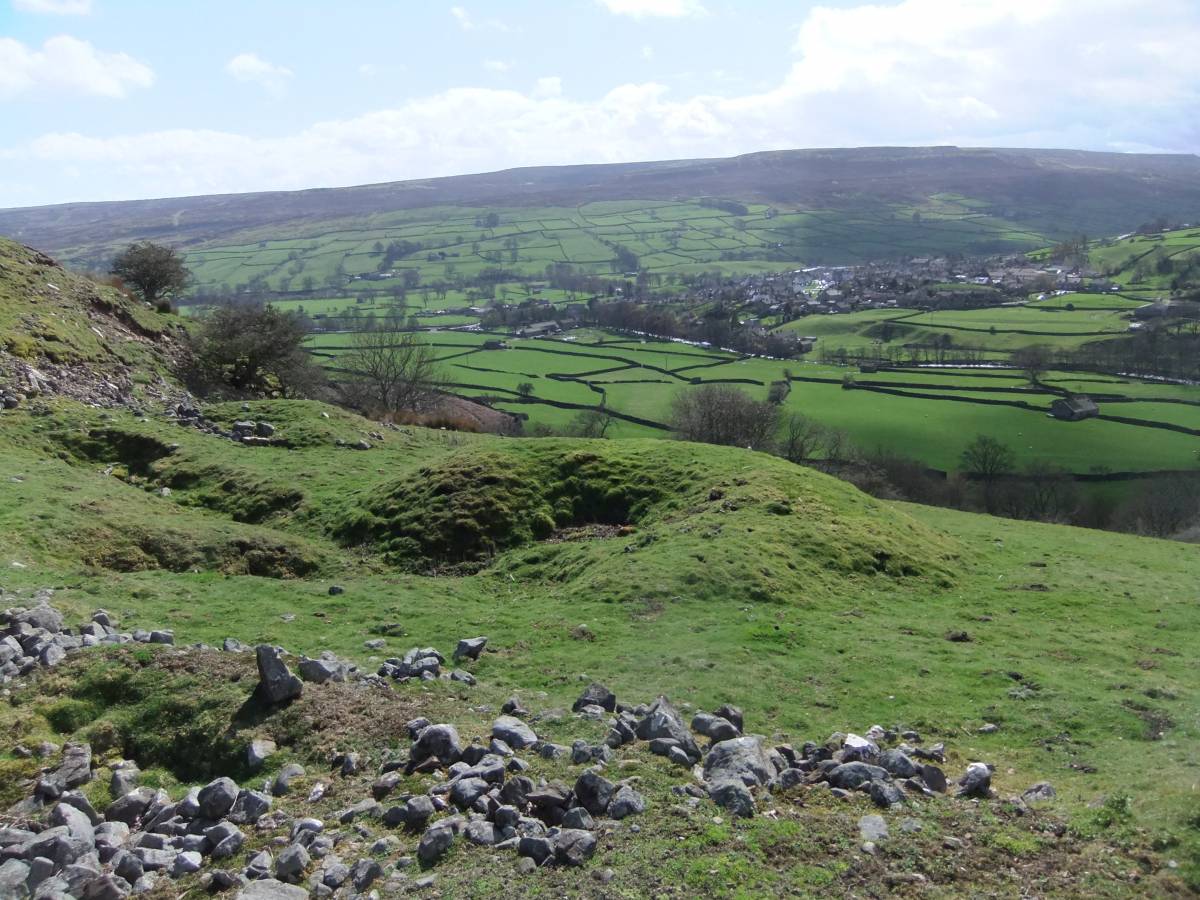
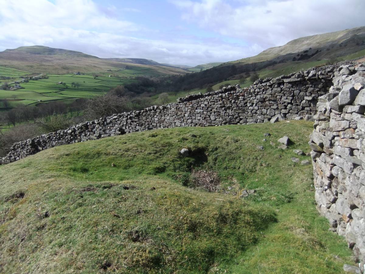
| Location | Images of Fremington 5: Early lead mine shafts and surface cuts below the Copperthwaite Vein. |
| Civil Parish | Reeth |
| Brit. National Grid | SE 04369 99969 |
| Altitude | 277m |
| Geology | Talus scree and drift over the Five Yard Limestone |
| Record Name | Early mine shaft mounds and surface cuts above the 1870 Fremington Mine |
| Record Description | The Geological Memoirs detail the final lead mine level workings commenced in 1870 at an elevation of 270m (See SWAAG Record No 801) aimed at locating the Copperthwaite Vein Workings on Fremington Edge which are at an elevation above 400m.
No mention however was made to the small scale mine workings close by which are recorded here. |
| Dimensions | |
| Geographical area | |
| Species | |
| Scientific Name | |
| Common / Notable Species | |
| Tree and / or Stem Girth | |
| Tree: Position / Form / Status | |
| Tree Site ID | 0 |
| Associated Site SWAAG ID | 0 |
| Additional Notes | |
| Image 1 ID | 5379 Click image to enlarge |
| Image 1 Description | Small scale lead mine shafts and surface cuts in pasture above the 1870 Fremington Mine workings. |  |
| Image 2 ID | 5380 Click image to enlarge |
| Image 2 Description | |  |