|
| *****SWAAG_ID***** | 801 |
| Date Entered | 11/04/2014 |
| Updated on | 13/04/2014 |
| Recorded by | Tim Laurie |
| Category | Mining Related |
| Record Type | Industrial Archaeology |
| SWAAG Site Name | |
| Site Type | |
| Site Name | |
| Site Description | |
| Site Access | Private |
| Record Date | 08/04/2014 |
| Location | Fremington Edge, mid slope below the Copperthwaite Vein. |
| Civil Parish | Reeth |
| Brit. National Grid | SE 04343 9993 |
| Altitude | 268m |
| Geology | 'Slipped ground above the Five Yard Limestone' (Dunham and Wilson 1985, p.146). |
| Record Name | Images of Fremington 3: The Fremington Mine Level. Final workings commenced around 1870 on the Copperthwaite Vein. |
| Record Description | the final exploratory level driven from SE0434 9998, 268m approximately 1000ft (305m) to find the Copperthwaite Vein below the levels previously worked.'The Copperthwaite Vein was then found by means of short south crosscuts and a further 91m drivage on the vein. This success however did not lead to a mine.'(Dunham and Wilson 1985, p.146). |
| Dimensions | |
| Geographical area | |
| Species | |
| Scientific Name | |
| Common / Notable Species | |
| Tree and / or Stem Girth | |
| Tree: Position / Form / Status | |
| Tree Site ID | 0 |
| Associated Site SWAAG ID | 0 |
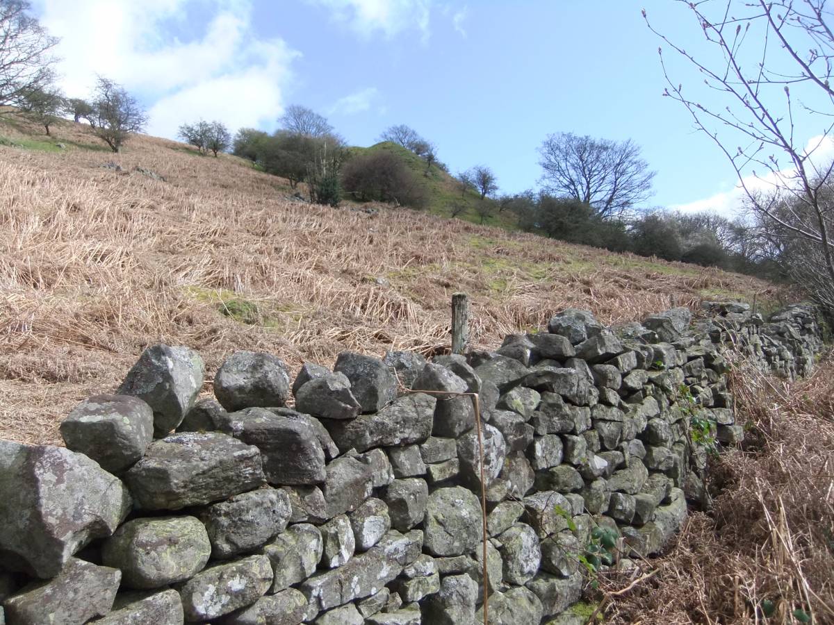
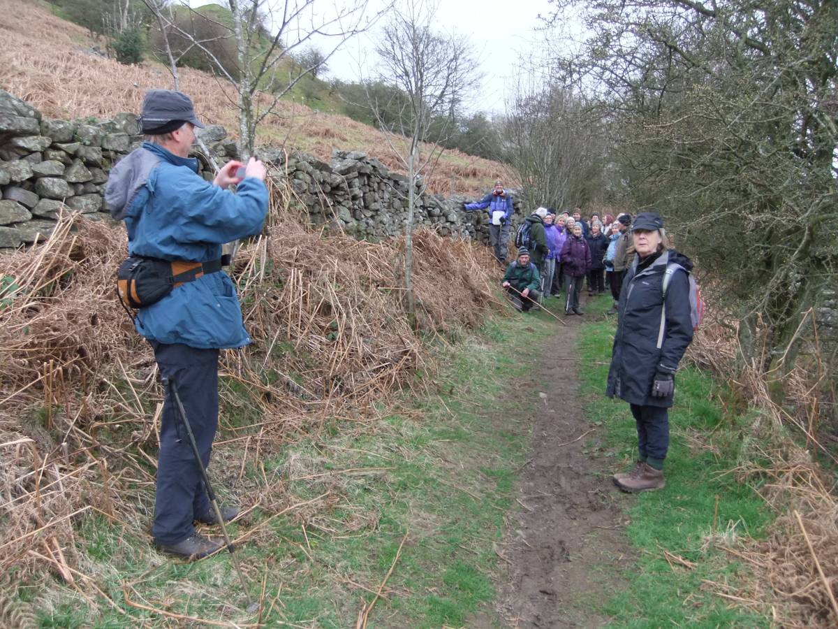
| Additional Notes | The substantial twin spoil heaps of this, the final exploratory workings commenced around 1870 on the Copperthwaite Vein were prominent when seen by SWAAG Big Dig Walkers on 09 April 2014 from the Low Lane Track to Fremington. See Image No 1. |
| Image 1 ID | 5378 Click image to enlarge |
| Image 1 Description | The twin spoil heaps of the Fremington Mine which are the final exploratory lead mine workings on the Copperthwaite Vein are prominent above the western end of Low Lane | 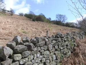 |
| Image 2 ID | 5369 Click image to enlarge |
| Image 2 Description | |  |
| Image 3 ID | 5374 Click image to enlarge |
| Image 3 Description | This small level some 400m further west and close to the track at NZ04035 00119 was probably a failed exploratory level, with small shaft mound 50m upslope | 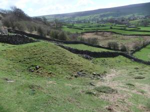 |
| Image 4 ID | 5372 Click image to enlarge |
| Image 4 Description | The spoil heap and view down to the Settlement above Arkle Beck |  |
| Image 5 ID | 5373 Click image to enlarge |
| Image 5 Description | The portal or entrance to the Level is obscured by thorn bushes | 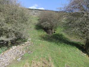 |