|
| *****SWAAG_ID***** | 811 |
| Date Entered | 07/06/2014 |
| Updated on | 14/06/2014 |
| Recorded by | Tim Laurie |
| Category | Tree Site Record |
| Record Type | Botanical HER |
| SWAAG Site Name | |
| Site Type | |
| Site Name | |
| Site Description | |
| Site Access | Public Footpath |
| Record Date | 06/06/2014 |
| Location | Both banks of the River Cover below and to the south of Braidley in Coverdale |
| Civil Parish | Carlton Town |
| Brit. National Grid | SE 031 796 |
| Altitude | 265m |
| Geology | Glacial till over the Middle Limestone series and River Cover flood plain. |
| Record Name | Alderwoods on both banks of the River Cover upstream from the footbridge below Braidley. |
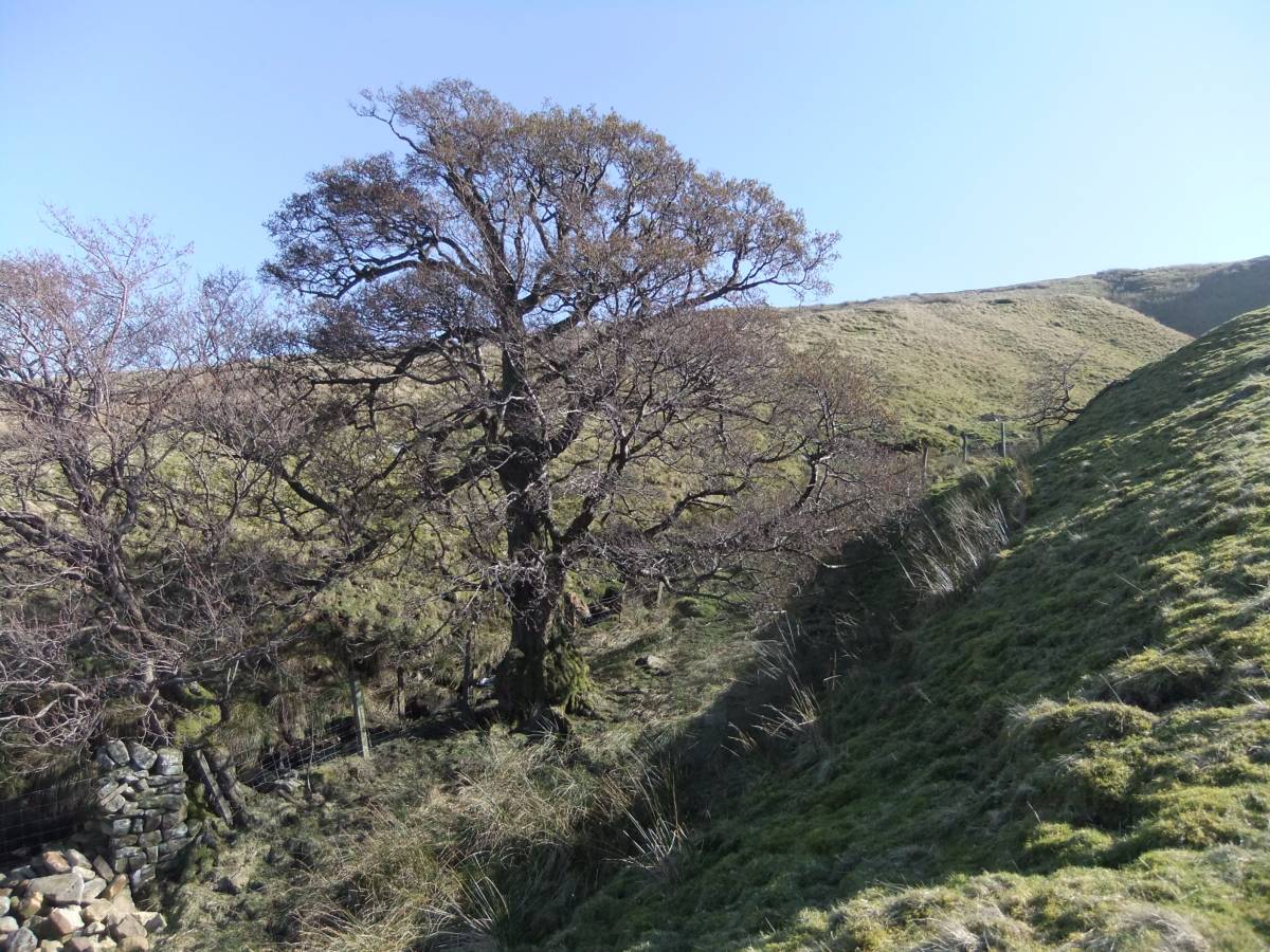
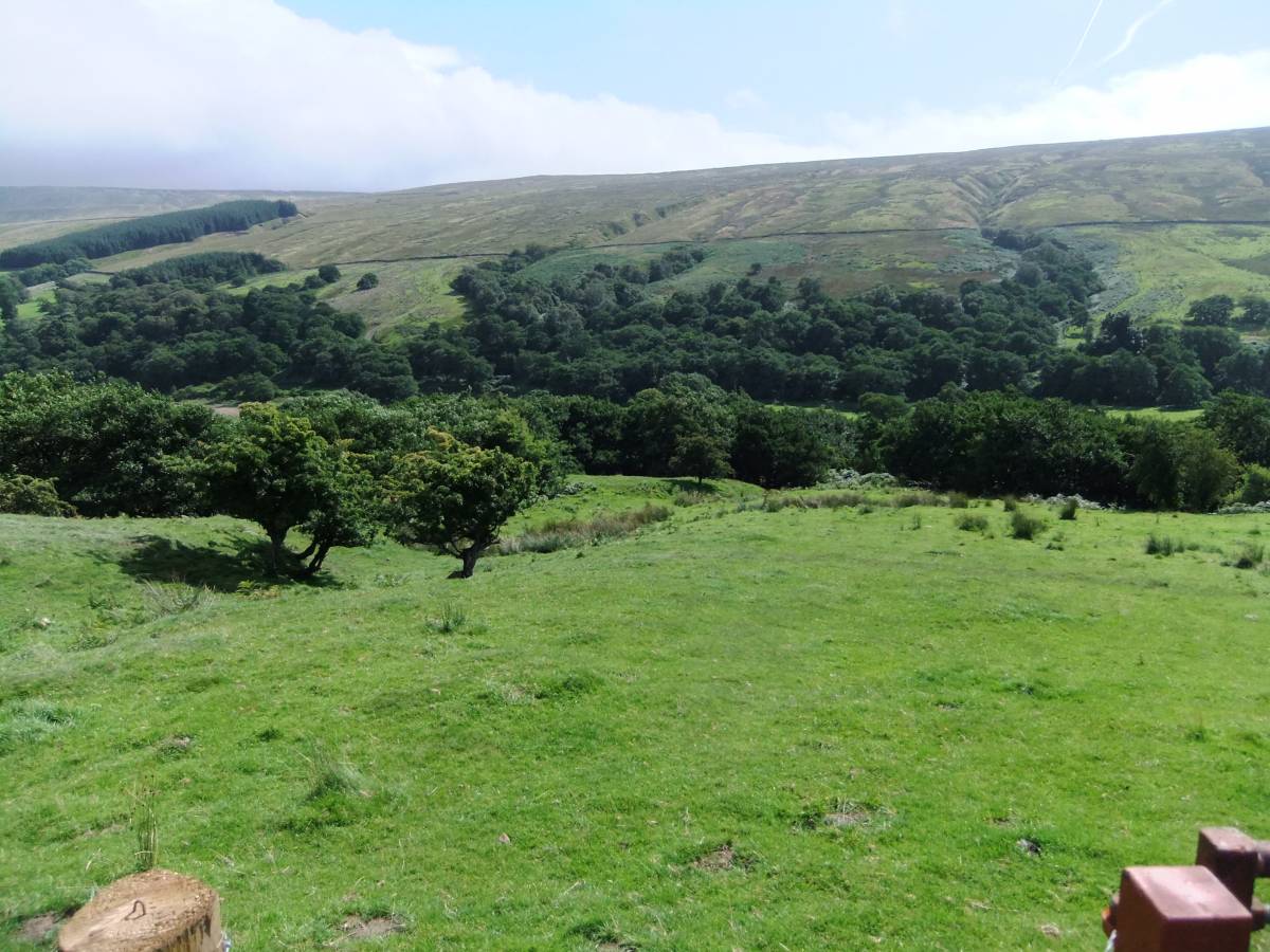
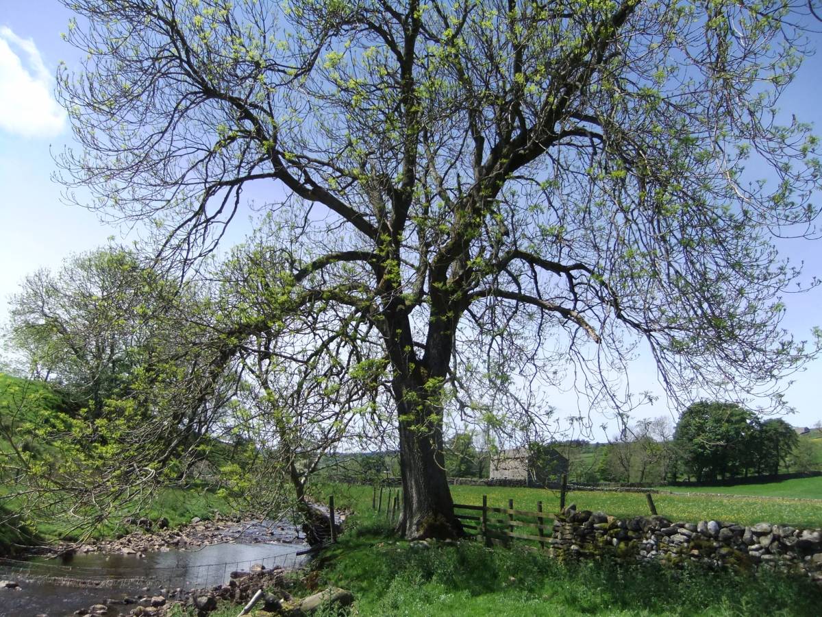
| Record Description | This record will provide photographic images taken both in winter and in early summer of the very fine, managed alder woods which survive today on the north bank of the River Cover below Braidley on the north bank and at Derry Close, Low pasture and at West Close on the southern side of the River Cover. These woodlands, once extended across the whole of lower, and most of the upper slopes of Coverdale. Alders are the dominant tree species on wet spring flushed soils over glacial boulder clays and colluvium on the lower dale sides. Alder woods, originally widespread and managed by coppice and pollarding for charcoal and useful small wood, have long been opened up as pasture. These woodlands are now largely confined to the riversides and to the confines of the many small stream-cut steep sided ravines on both sides of the river. Whereas alders are by far the most dominant tree in these woods, occasional isolated ash trees, old downy birch trees and rowan survive on the top edge of steep banks and on drier soils wherever the presence of glacial gravels and better drainage allows. Sallows are present, but not common anywhere.
For details of the species composition of Alderwoods, see J.S. Rodwell, 1991. Editor. British Plant Communities. Volume 1: Woodlands and Scrub,102-112: W7 Alnus glutinosa- Fraxinus excelsior-Lysimachia nemorum woodland. |
| Dimensions | From the footbridge over the River Cover at Derry Close to the pastures upstream of West Close |
| Geographical area | |
| Species | |
| Scientific Name | |
| Common / Notable Species | |
| Tree and / or Stem Girth | |
| Tree: Position / Form / Status | |
| Tree Site ID | 0 |
| Associated Site SWAAG ID | 0 |
| Additional Notes | These images will be arranged to provide:
a)Images of the Alderwoods as seen from the unfenced road west of Braidley.
b)Images of the riverside woods.
c)Images of the woodlands on the Dale side.
d)Images of the alders , ash and downy birch trees.
NOTE!
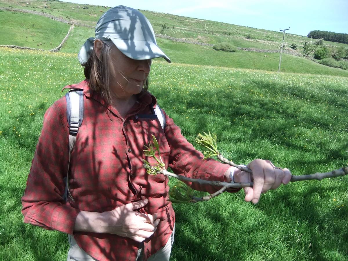
During the most recent visit to Wensleydale to record individual trees for the Woodland Trust Ancient Tree Hunt Website, see http://www.ancient-tree-hunt.org.uk/ it was apparent that very many mature and young ash trees throughout Lower Swaledale, Wensleydale, Coverdale, by the Motorway and nearby countryside were visibly distressed with evident leaf loss. Fearing the worst and that Ash Die Back had arrived in the area we looked at one or two visibly affected trees. The symptoms were of ash bud moth damage and no evidence of lesions or other known signs of ash die back were seen. Samples were taken for laboratory analysis and diagnosis. We await the results. Affected trees show severe leaf loss and deformation of the emerging leaf at the bud. Several ash trees were entirely leafless, leaf cover to most affected trees was very reduced. Affected trees can be seen everywhere. Such serious damage will weaken the ash trees and render them susceptible to ash die back fungus attack if and when this different scourge arrives.
This is a foretaste of the threat to come and drives home the need to record the trees while they are still alive.
|
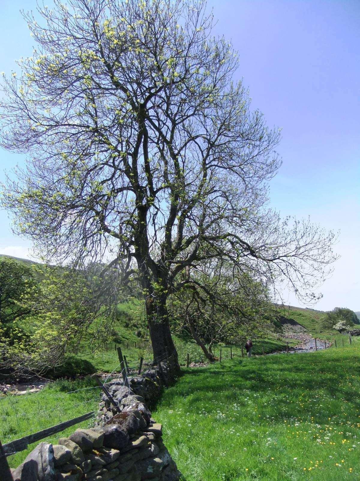
| Image 1 ID | 5449 Click image to enlarge |
| Image 1 Description | View from Braidley towards Whernside over the alders of Low Pasture | 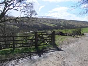 |
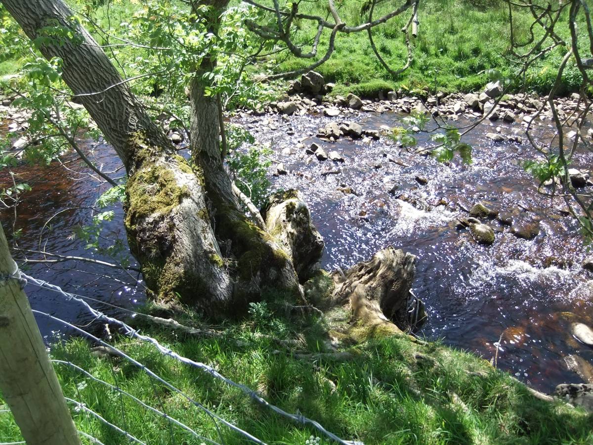
| Image 2 ID | 5456 Click image to enlarge |
| Image 2 Description | Ancient alder below the footbridge over the Cover at Derry Close | 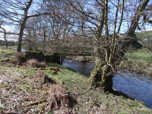 |
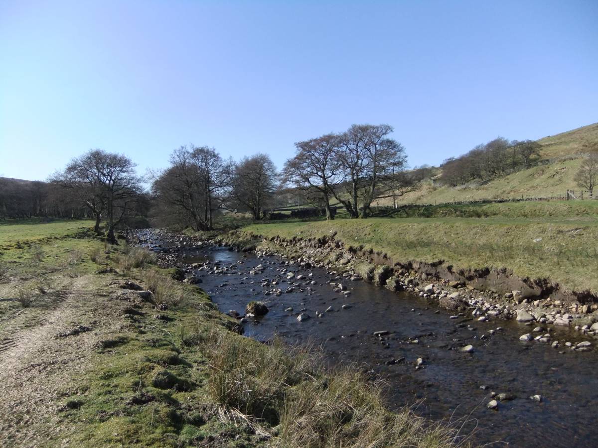
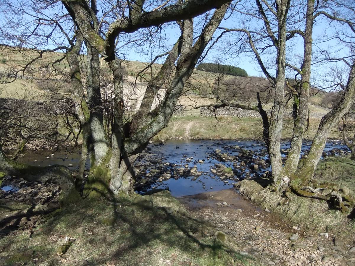
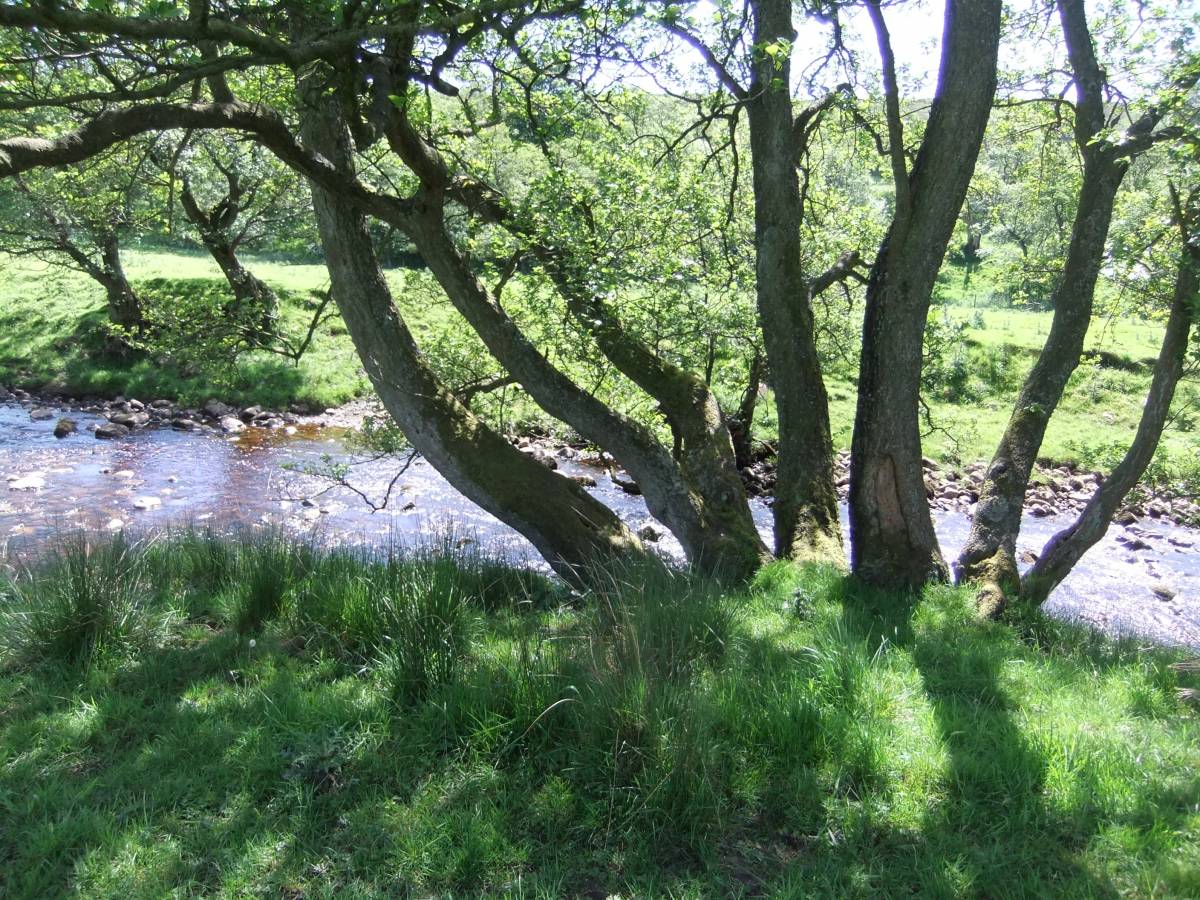
| Image 3 ID | 5457 Click image to enlarge |
| Image 3 Description | River Cover. View upstream from the footbridge. | 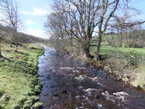 |
| Image 4 ID | 5458 Click image to enlarge |
| Image 4 Description | River Cover. View upstream from the footbridge. |  |
| Image 5 ID | 5450 Click image to enlarge |
| Image 5 Description | The view down to Low Pasture Alderwoods across the Cover from Braidley | 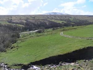 |
| Image 6 ID | 5453 Click image to enlarge |
| Image 6 Description | West Close from the unfenced road west of Braidley | 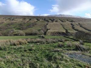 |
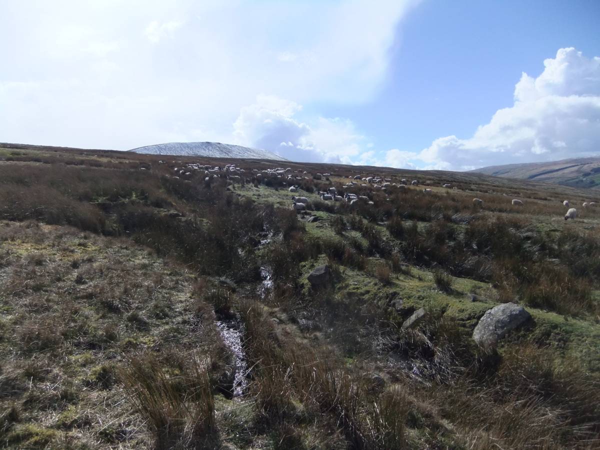
| Image 7 ID | 5454 Click image to enlarge |
| Image 7 Description | Whernside across the moorland above the limit of the present alder wood. | 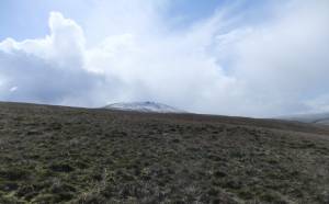 |
| Image 8 ID | 5455 Click image to enlarge |
| Image 8 Description | Whernside across the moorland above the limit of the present alder wood. Alders would previously have grown on the wet flushed moorland here also. | 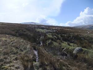 |
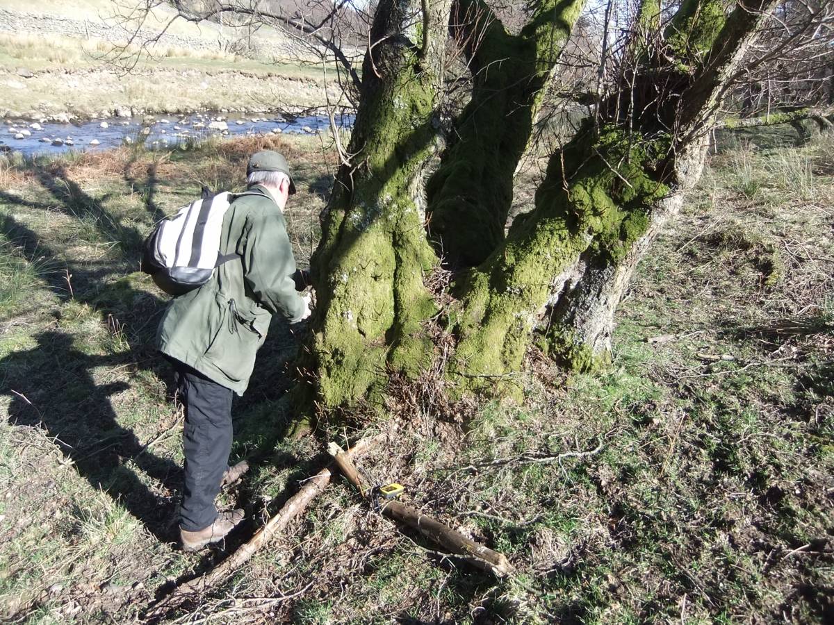
| Image 9 ID | 5460 Click image to enlarge |
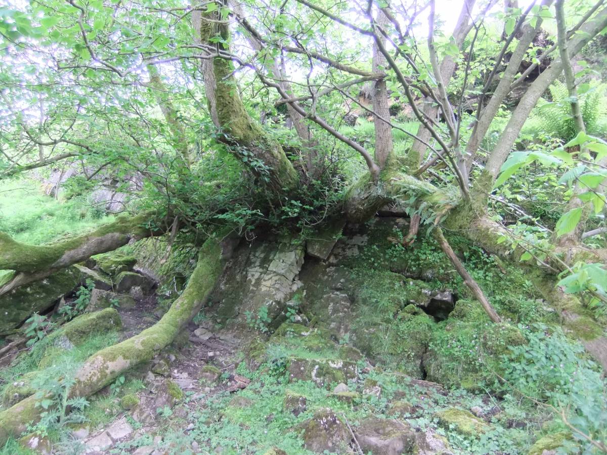
| Image 9 Description | Recording ancient coppiced alders on abandoned river bank. | 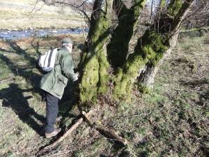 |
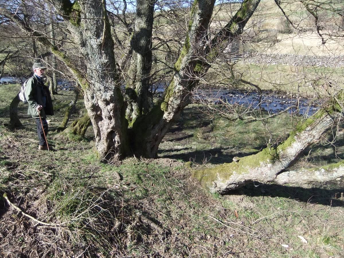
| Image 10 ID | 5461 Click image to enlarge |
| Image 10 Description | These ancient coppiced alders mark a previous line of the south bank of the River Cover | 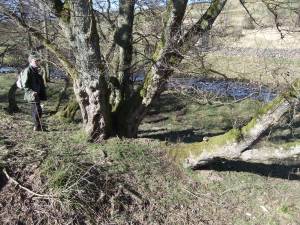 |
| Image 11 ID | 5462 |
| Image 11 Description | Alders at ford. | 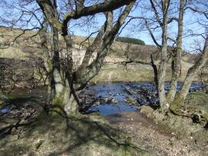 |
| Image 12 ID | 5464 |
| Image 12 Description | Low Pasture. Birch and alders line the streams. | 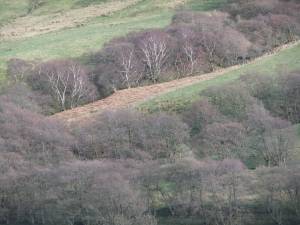 |
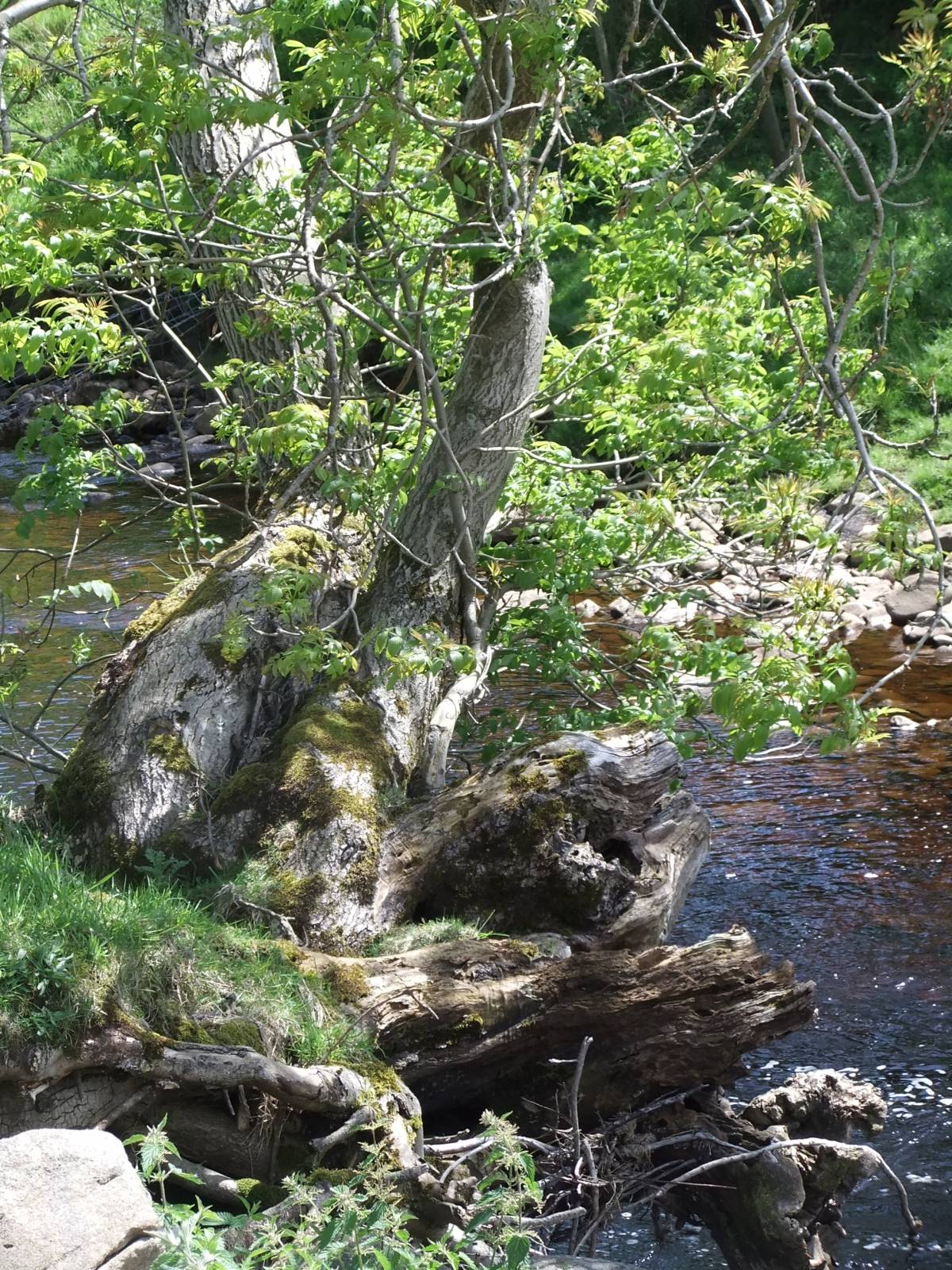
| Image 13 ID | 5465 |
| Image 13 Description | Low Pasture. Ancient alder with exposed root column denoting the amount of erosion since coppicing. | 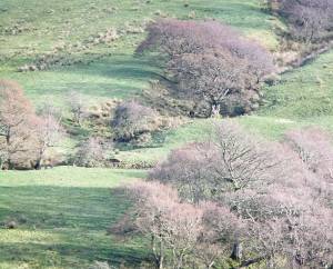 |
| Image 14 ID | 5466 |
| Image 14 Description | Alder at top of stream ravine. Low Pasture. | 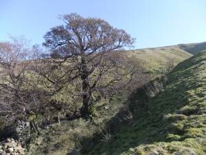 |
| Image 15 ID | 5480 |
| Image 15 Description | West Close. | 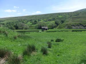 |
| Image 16 ID | 5468 |
| Image 16 Description | Detail of this streamside alder. | 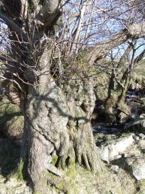 |
| Image 17 ID | 5469 |
| Image 17 Description | The exposed, columnar structure of the alder root system and ancient soil line denotes the erosion since last coppiced. | 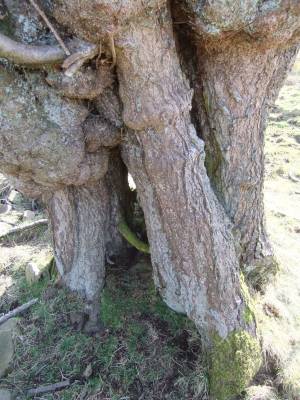 |
| Image 18 ID | 5470 |
| Image 18 Description | Alderwoods at Low Pasture and Derry Close from the road. | 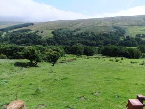 |
| Image 19 ID | 5471 |
| Image 19 Description | This fine ash tree has suffered from the ravages of the ash bud moth and is distressed with much reduced and deformed leaf. | 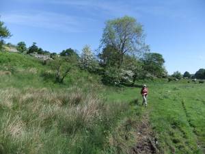 |
| Image 20 ID | 5472 |
| Image 20 Description | Alders by the River Cover. | 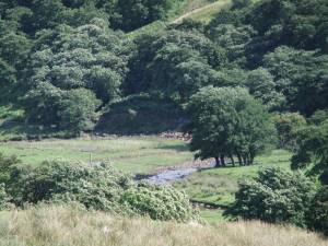 |
| Image 21 ID | 5473 |
| Image 21 Description | Alder on the riverbank. |  |
| Image 22 ID | 5474 |
| Image 22 Description | Managed alder at old riverbank hedgerow. | 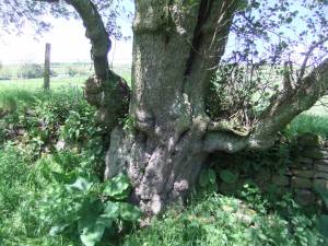 |
| Image 23 ID | 5475 |
| Image 23 Description | Large riverside ash coppice. | 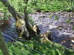 |
| Image 24 ID | 5476 |
| Image 24 Description | | 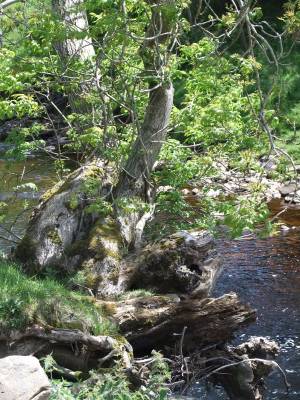 |
| Image 25 ID | 5477 |
| Image 25 Description | Distressed ash tree by the Cover. The much reduced and deformed leafage of this fine tree is the consequence of Ash Bud Moth grub infestation. Very many ash trees show this damage. |  |
| Image 26 ID | 5478 |
| Image 26 Description | The same ash tree. |  |
| Image 27 ID | 5479 |
| Image 27 Description | Detail of the ash bud damage and deformation. |  |
| Image 28 ID | 5481 |
| Image 28 Description | Woodale, Ridge Scar.Very large and ancient Wych elm coppice on low limestone cliff upstream of the Alderwoods. | 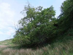 |
| Image 29 ID | 5482 |
| Image 29 Description | The bole of this large cliff self or wind coppiced wych elm measured 7.8m girth at the base. | 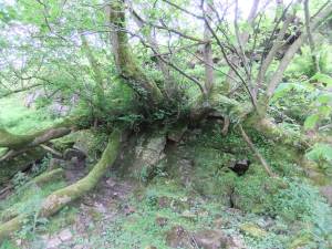 |