Close

This site uses cookies. No personal data is stored. You can read how we use them in our cookies policy. Continuing on this site accepts their use. Thankyou.

Viewing swaag.org website implies consent to set cookies on your computer. Full details Swaledale and Arkengarthdale Archaeology Group
Registered Charitable Incorporated Organisation Number 1155775
SWAAG Honorary President:
Tim Laurie FSA

Local GPS Walks

Please always keep to footpaths, close gates, keep dogs under control and obey 'Freedom to Roam' regulations.

Using the GPS Route downloads: The walking routes use the .gpx file format. Click the link and then save the zip file to a folder on your computer.   Double click the zip file and save the .gpx file it contains into the same folder. Use a GPS utility program to load the file.  2 free GPS programs are EasyGPS and GPSTrackmaker.  Once you have opened the .gpx file in a utility program, connect your GPS to the computer using a USB lead. Finally use the GPS functions in the utility program to upload the route from the program to your GPS.
Using the Google Earth kml downloads: These downloads use Google Earth's .kml file format. Google Earth is a free download available here.  Download the Google Earth file and save it to a folder on your computer. View the file name in the folder and then double click it.  It should then automatically open Google Earth and zoom into the walk.

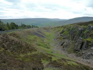
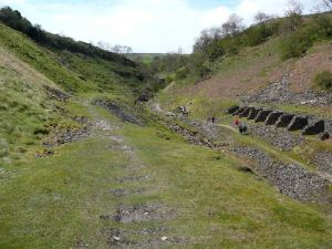
Mould Side: Lead, Chert and Grit: 4 miles Medium/Hard, with a total ascent of approximately 200 metres. 170 metres of which is in the first 20 minutes. You need to be confident walking on rocky tracks (approx 400m), and up and down short but steepish grassy banks. This walk will show you 3 different types of industrial archaeology in 3+ hours, including walking the length of the spactacular Joseph Stoddart's Hush, which when operational between 1787 to 1797, produced over £2500 worth of lead. The start of the route is at the bottom of Turf Moor Hush near Langthwaite, Reeth.     See Location image.

Location   GPS Route download    
Google Earth kml download  Information   Guide
 

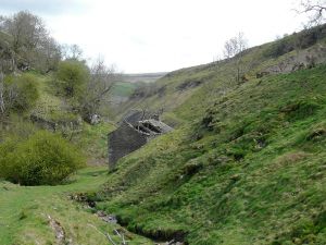
Prys Mine walk: 3miles Easy/Medium. Route starts at car parking area located at the beginning of the walk.
Prys was the last working lead mine in the area, finally closing in the 1930's.

Turn up the road to Hurst and Washfold from the Fremington Marske road. The route starts beside a house about 2/3rd of the distance to Hurst.

Location    GPS Route download    Google Earth kml download