|
| *****SWAAG_ID***** | 909 |
| Date Entered | 05/12/2015 |
| Updated on | 06/12/2015 |
| Recorded by | Tim Laurie |
| Category | Burnt Mound |
| Record Type | Archaeology |
| SWAAG Site Name | |
| Site Type | |
| Site Name | |
| Site Description | |
| Site Access | Public Access Land |
| Record Date | 28/11/2015 |
| Location | Barf Pasture. Spring rise below Brownsey House |
| Civil Parish | Melbecks |
| Brit. National Grid | SD 97072 98625 |
| Altitude | 404m |
| Geology | Spring rise below the Main Limestone on the line of the Stockdale Fault |
| Record Name | Barf Pasture. Two burnt mounds at spring rising below Brownsey House |
| Record Description | Two probable burnt mounds, located on opposing banks of the same stream just below the spring rising to the east of the enclosed fields below Brownsey House. Both burnt mounds are completely vegetated and no eroding fire cracked stone is visible. However these two mounds are so characteristic of burnt mounds that they will be recorded as such. Several lithic finds have been made from molehills in the open pasture immediately above the spring which confirm Later prehistoric activity probably associated with these two sites. |
| Dimensions | See photographs |
| Geographical area | |
| Species | |
| Scientific Name | |
| Common / Notable Species | |
| Tree and / or Stem Girth | |
| Tree: Position / Form / Status | |
| Tree Site ID | 0 |
| Associated Site SWAAG ID | 0 |
| Additional Notes | These two burnt mounds were recognised during field walking prior to the GPS Survey of the archaeological landscapes on Low Row and Barf Pastures. |
| Image 1 ID | 6595 Click image to enlarge |
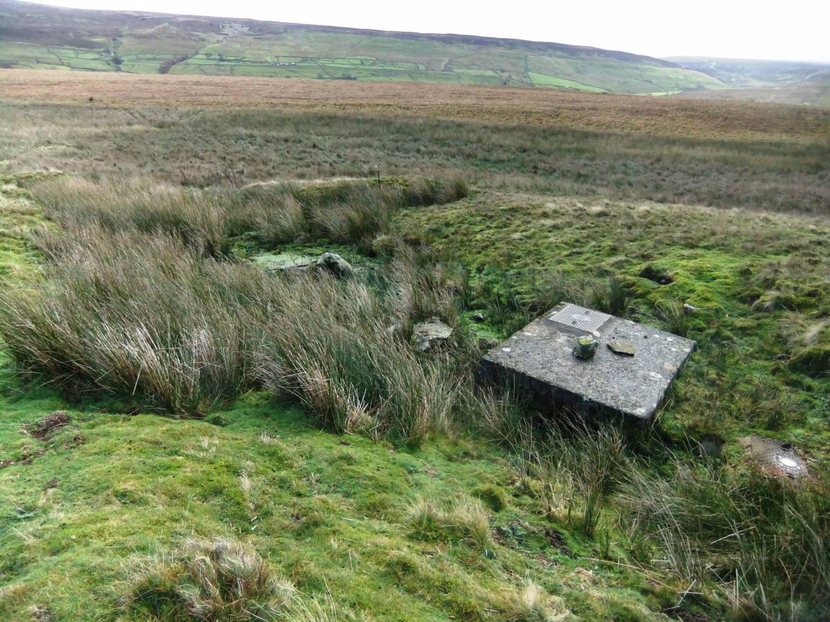
| Image 1 Description | The spring rise has been managed as a water supply. |  |
| Image 2 ID | 6593 Click image to enlarge |
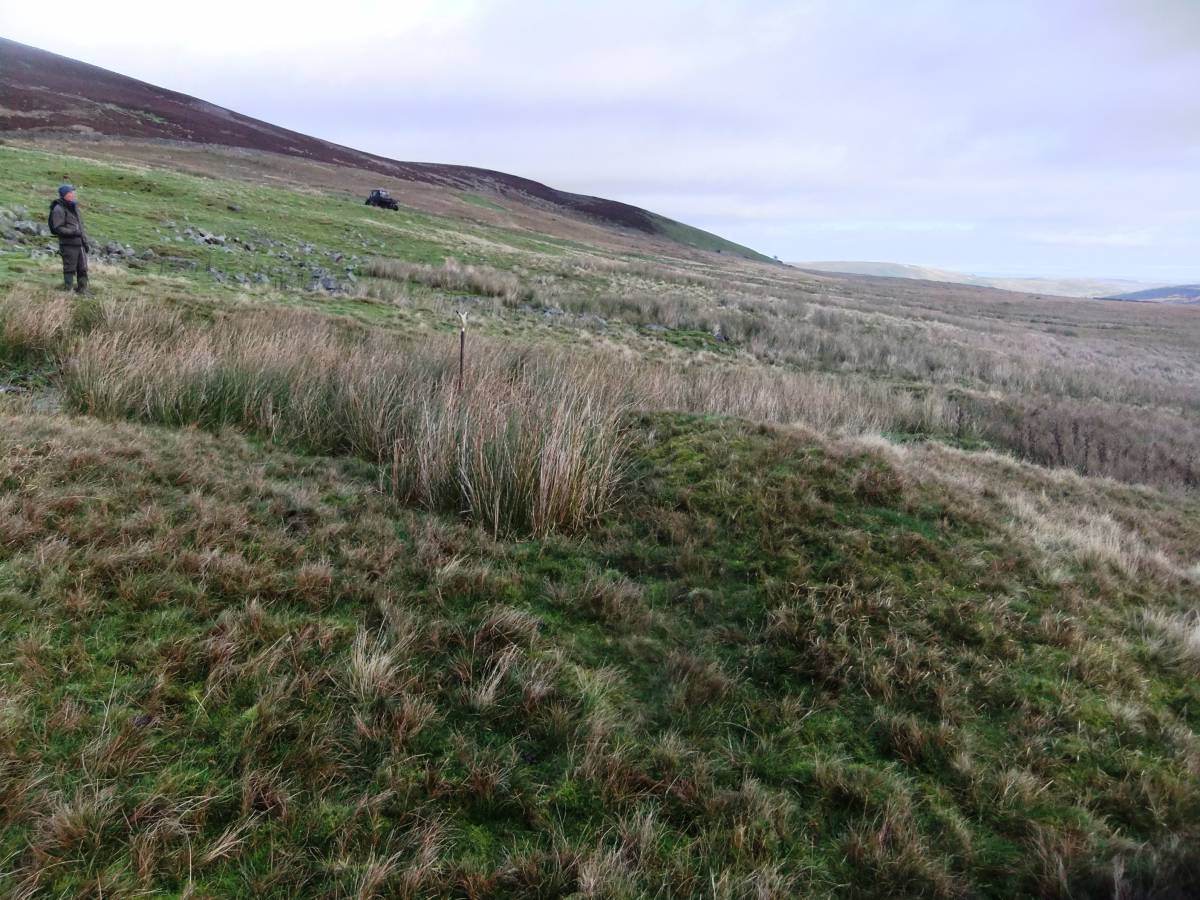
| Image 2 Description | The upper of the two burnt mounds | 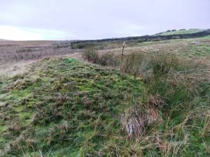 |
| Image 3 ID | 6586 Click image to enlarge |
| Image 3 Description | The lower of the two burnt mounds viewed from below | 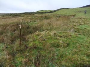 |
| Image 4 ID | 6587 Click image to enlarge |
| Image 4 Description | The larger and upper of the two burnt mounds seen from below | 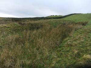 |
| Image 5 ID | 6594 Click image to enlarge |
| Image 5 Description | The larger and upper of the two burnt mounds, the stick marks the site of the trough |  |
| Image 6 ID | 6592 Click image to enlarge |
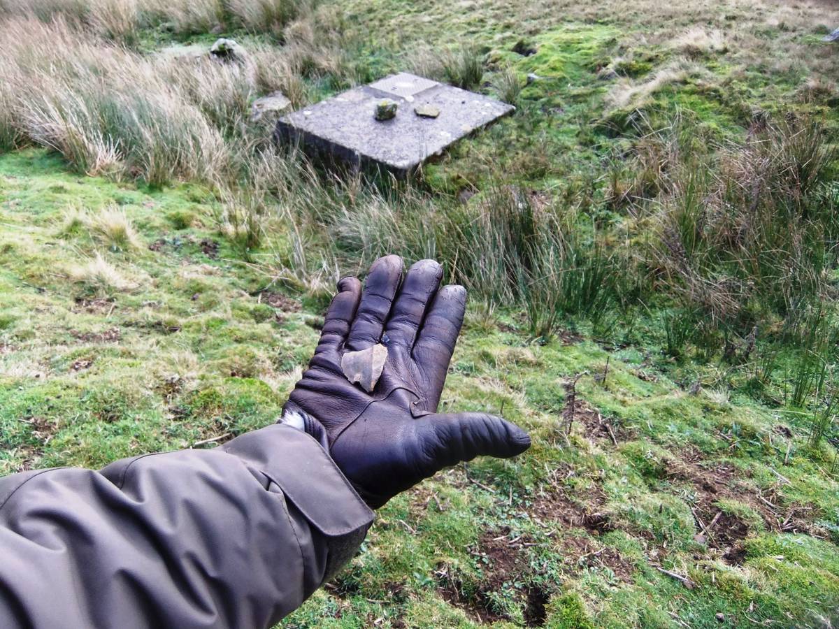
| Image 6 Description | Struck flake of chert found at the spring rise |  |