|
| *****SWAAG_ID***** | 910 |
| Date Entered | 06/12/2015 |
| Updated on | 08/12/2015 |
| Recorded by | Tim Laurie |
| Category | Mining Related |
| Record Type | Industrial Archaeology |
| SWAAG Site Name | |
| Site Type | |
| Site Name | |
| Site Description | |
| Site Access | Public Access Land |
| Record Date | 06/11/2015 |
| Location | Shaw Side . A walk on the eastern slopes of Hoove |
| Civil Parish | Arkengarthdale |
| Brit. National Grid | NZ 008 066 |
| Altitude | 520m |
| Geology | Faulted and mineralised strata above and below the Crow Cherts east of the Hurgill Shaft |
| Record Name | A walk above Stang House on a misty day to find the Hurgill Shaft. |
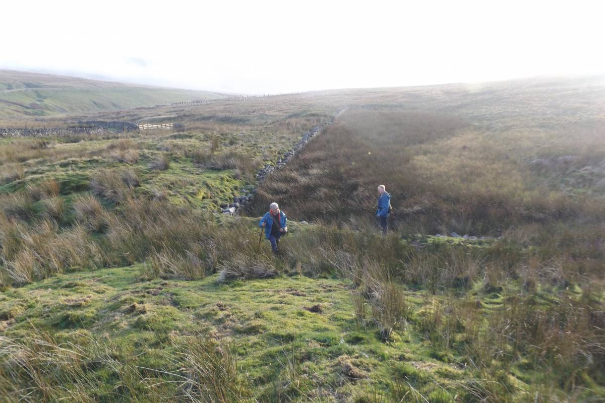
| Record Description | Driven from lower levels by encroaching mist, we walked from the Stang Road on Shaw Side in search of mining remains. The remains of a stone built structure, thought at first to be an early shieling are now interpreted as a probable mine shop related to the Hurgill Shaft. A windproof shelter would be necessary at this high and isolated locality. However the real pleasure of this day was to be high above the mist which filled the lower reaches of Swaledale and Arkengarthdale and at one point engulfed us also. |
| Dimensions | |
| Geographical area | |
| Species | |
| Scientific Name | |
| Common / Notable Species | |
| Tree and / or Stem Girth | |
| Tree: Position / Form / Status | |
| Tree Site ID | 0 |
| Associated Site SWAAG ID | 0 |
| Additional Notes | |
| Image 1 ID | 6604 Click image to enlarge |
| Image 1 Description | Looking back the mist advances towards Stang House |  |
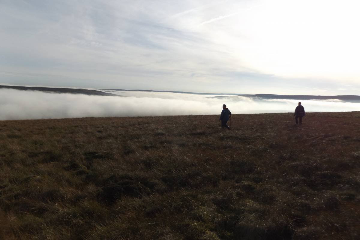
| Image 2 ID | 6597 Click image to enlarge |
| Image 2 Description | The mist is getting close! | 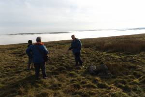 |
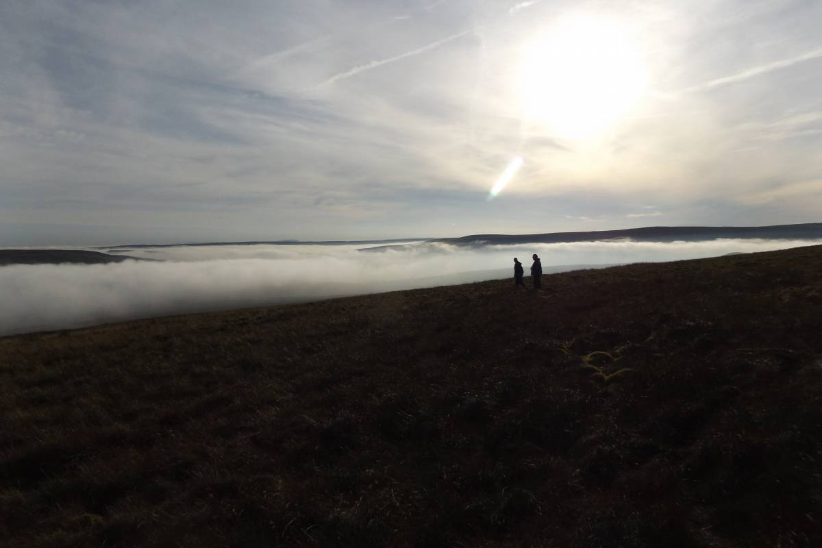
| Image 3 ID | 6598 Click image to enlarge |
| Image 3 Description | We were covered but now we are ok, I think | 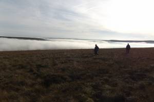 |
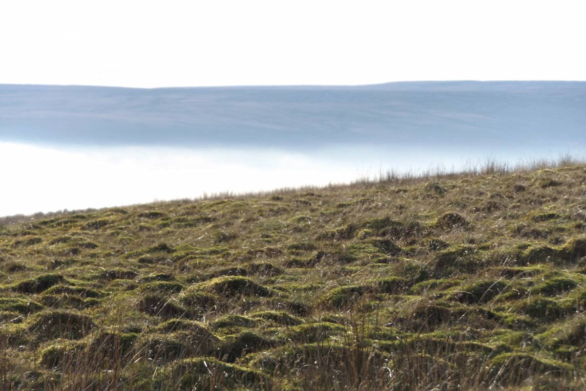
| Image 4 ID | 6599 Click image to enlarge |
| Image 4 Description | We had better go down and find some archaeology. | 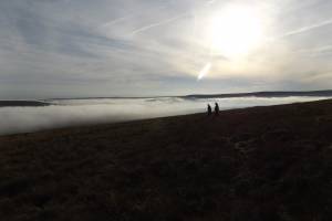 |
| Image 5 ID | 6600 Click image to enlarge |
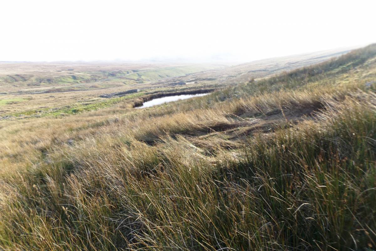
| Image 5 Description | Hurgill Level is somewhere down there. | 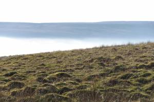 |
| Image 6 ID | 6601 Click image to enlarge |
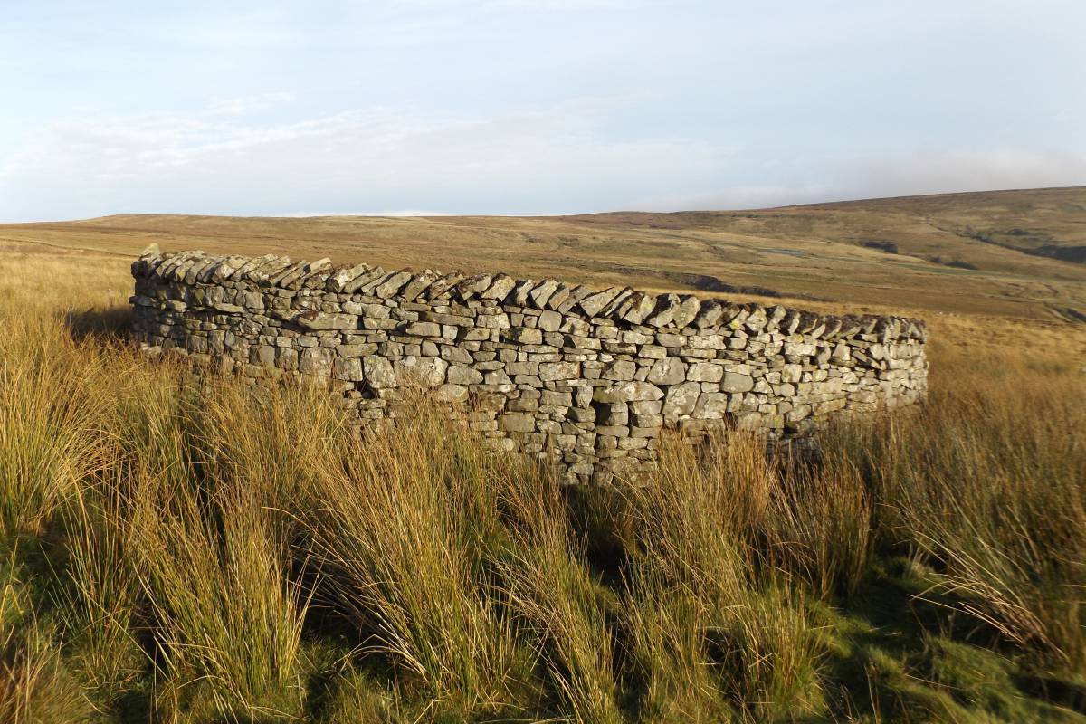
| Image 6 Description | Remains of a substantial rectangular building. Sheiling or Mine shop related to the Hurgill shaft perhaps. | 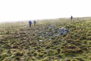 |
| Image 7 ID | 6602 Click image to enlarge |
| Image 7 Description | | 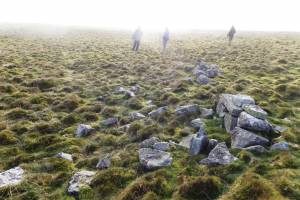 |
| Image 8 ID | 6603 Click image to enlarge |
| Image 8 Description | A fine well built stone sheepfold at Hart Holes. | 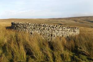 |
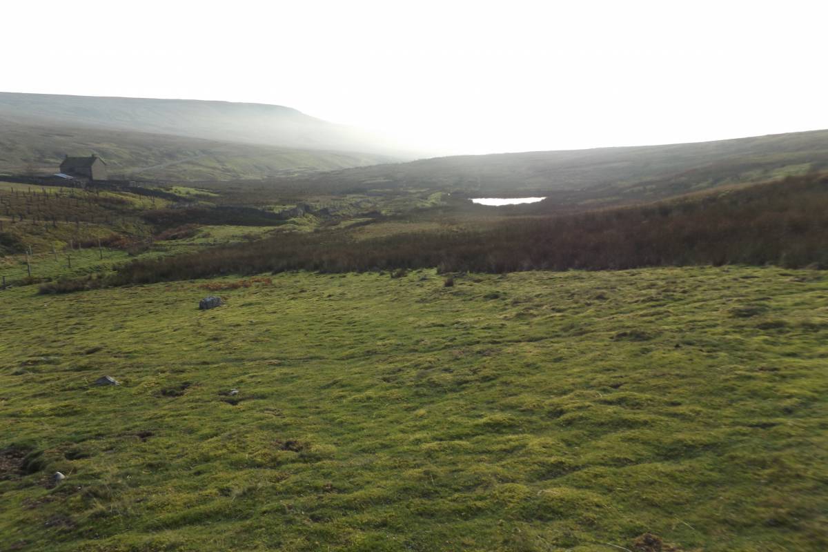
| Image 9 ID | 6604 Click image to enlarge |
| Image 9 Description | The Upper of the two water storage dams above the Stang Mine | |
| Image 10 ID | 6605 Click image to enlarge |
| Image 10 Description | The Upper of the two water storage dams above the Stang Mine | 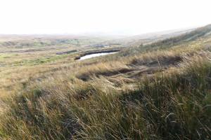 |
| Image 11 ID | 6607 |
| Image 11 Description | Lower and larger of the two storage dams above the Stang Mine | 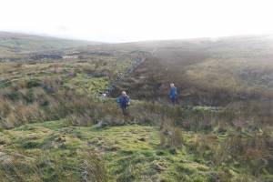 |
| Image 12 ID | 6608 |
| Image 12 Description | | 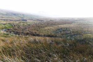 |
| Image 13 ID | 6609 |
| Image 13 Description | | 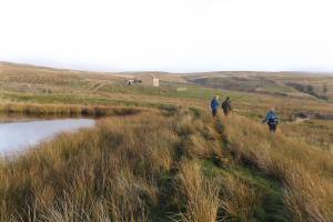 |