|
| *****SWAAG_ID***** | 948 |
| Date Entered | 28/08/2016 |
| Updated on | 28/08/2016 |
| Recorded by | Tim Laurie |
| Category | Burial Mounds and Cairns |
| Record Type | Archaeology |
| SWAAG Site Name | |
| Site Type | |
| Site Name | |
| Site Description | |
| Site Access | Public Access Land |
| Record Date | 26/08/2016 |
| Location | Stake Fell |
| Civil Parish | Bainbridge |
| Brit. National Grid | SD 940 849 |
| Altitude | 540m |
| Geology | The Main Limestone. |
| Record Name | Two small isolated round cairns on Stake Fell |
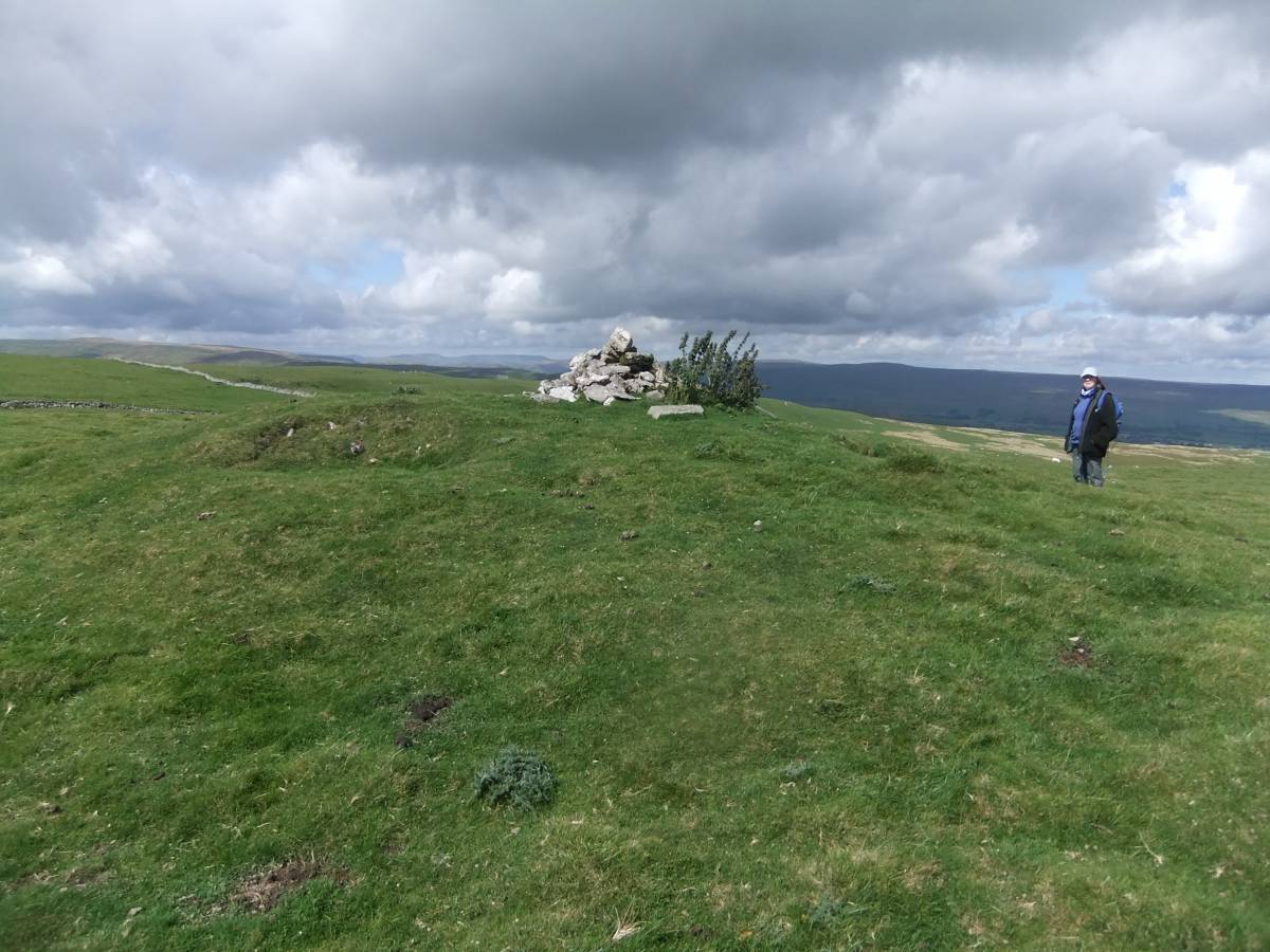
| Record Description | This record will place on record two small isolated round cairns located at different viewpoints on Stake Fell.The larger of the two small round cairns is 8m diameter approximately and is located at 540m AOD, close to a public right of way at a high point on Stake Allotments. This round cairn enjoys one of the best all round views in the Pennines with the Howgill Fells and Mallerstang Edge above above the Vale of Eden visible to the west. Distant Eston Nab can be seen some 70miles to the east beyond Penhill. This round cairn is turf covered and is undisturbed.
The smaller of the two round cairns is 6m diameter and located slightly lower down at an elevation of 500m on the North Western Edge of Stake Fell. The view from this cairn is directed across Semer Water to the summit Counterset Crag where a similar prehistoric cairn is located. This round cairn is located very close to a 19C allotment wall and is undisturbed except for a small hole has been quarried in the top for stone walling. |
| Dimensions | 8m and 6m diameter approximately |
| Geographical area | |
| Species | |
| Scientific Name | |
| Common / Notable Species | |
| Tree and / or Stem Girth | |
| Tree: Position / Form / Status | |
| Tree Site ID | 0 |
| Associated Site SWAAG ID | 0 |
| Additional Notes | Both cairns are circular, steep sided and composed of fragments of limestone. They surely represent the burial sites of transhumant bronze age pastoralists visiting this area of calcareous grassland during the summer months. RIP. |
| Image 1 ID | 6895 Click image to enlarge |
| Image 1 Description | Stake Allotments.The larger of the two cairns on Stake Fell and view through Upper Wensleydale to Mallerstang Edge and north west | 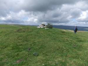 |
| Image 2 ID | 6896 Click image to enlarge |
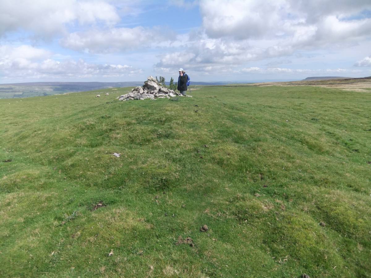
| Image 2 Description | The same cairn with view east beyond Penhill to Eston Nab. | 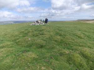 |
| Image 3 ID | 6897 Click image to enlarge |
| Image 3 Description | View from the cairn and view northward across Addlebrough. | 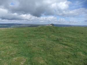 |
| Image 4 ID | 6898 Click image to enlarge |
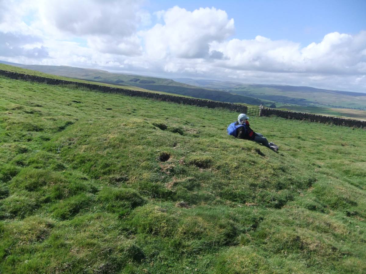
| Image 4 Description | Small lead mine shaft mound in foreground. The round cairn in distance, | 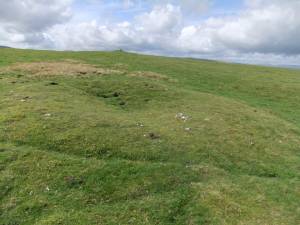 |
| Image 5 ID | 6899 Click image to enlarge |
| Image 5 Description | The smaller of the two round cairns on NW Edge of Stake Fell. View over Addlebrough Hill to the north. | 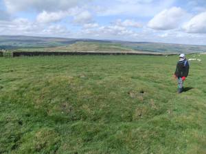 |
| Image 6 ID | 6900 Click image to enlarge |
| Image 6 Description | Same cairn with view across to Counterset Crag |  |