|
| *****SWAAG_ID***** | 896 |
| Date Entered | 04/10/2015 |
| Updated on | 04/10/2015 |
| Recorded by | Tim Laurie |
| Category | Burnt Mound |
| Record Type | Archaeology |
| SWAAG Site Name | |
| Site Type | |
| Site Name | |
| Site Description | |
| Site Access | Public Access Land |
| Record Date | 25/09/2015 |
| Location | Faggergill |
| Civil Parish | Arkengarthdale |
| Brit. National Grid | NY 9890 0543 |
| Altitude | 420m |
| Geology | Spring rise in strata above the Main Limestone below boulder clay. |
| Record Name | Very large burnt mound 250m NNW of Kitley Hill |
| Record Description | This very large burnt mound which is located on sloping ground close below the spring rise of a small sike or streamlet some 250m NNW of Kitley Hill and, being masked below turf, being very difficult to recognise except by someone familiar with these sites. SWAAG Member, Mrs Shirley Gale identified the burnt mound some years ago and guided me to see it.
The mound is characteristic for these sites being crescentic in form with central trough. The mound measures some 12m diameter overall on plan -a very fine example of these enigmatic sites .
The upslope section of the mound is part buried by solifluction and the full extent of the base of the mound is not visible. The downstream slope of the burnt stone mound extends from the level of the stream upwards for a height of almost 3m. |
| Dimensions | Visible mound is 12m diameter and up to 3m high overall approximately |
| Geographical area | |
| Species | |
| Scientific Name | |
| Common / Notable Species | |
| Tree and / or Stem Girth | |
| Tree: Position / Form / Status | |
| Tree Site ID | 0 |
| Associated Site SWAAG ID | 0 |
| Additional Notes | The significance of this burnt mound is two fold.
First, the location of this isolated mound is at the point where the summit of the Stainmore Pass, some 12km to the NW, becomes visible over the trough of Stainmore through the upper reaches of Arkle Beck and of Mudbeck. The existence of this burnt mound, the first to be recognised to date in Arkengarthdale west of the northern slopes of Calver Hill, where the nearest examples have been recorded, confirms the presence and activities of a small pastoralist group on the eastern approaches to the Stainmore Pass during the Late Neolithic to Mid Bronze Age.
Secondly, the trough of this burnt mound is at or close to active spring level and has been constantly saturated. The likely presence of constantly very wet conditions suggests that a timber lined trough could be preserved together with other wood or leather materials/artefacts which may be present.
For a detailed account of the characteristics and distribution of burnt mounds across the Ure,Swale and Tees/Greta Uplands , see Publications Section of this Website.
This is the latest addition to an increasing body of evidence for human activity within and passage through Arkengarthdale, on the eastern approaches to Stainmore, the easiest pass through the Pennines for the traveller on foot from the Vale of Mowbray and the South and East to the Vale of Eden and the North and West, to Galloway and to Ireland.
For details of other Late Prehistoric Monuments in Arkengarthdale, see SWAAG Record Nos 120, 124, 125,126,166,279,391,392,393,432,542,548,590,611 |
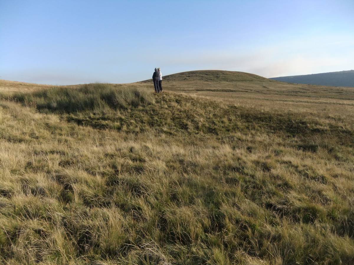
| Image 1 ID | 6472 Click image to enlarge |
| Image 1 Description | View of the burnt mound with the elegant glaciated lines of Kitley Hill in the background. |  |
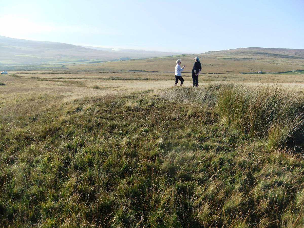
| Image 2 ID | 6473 Click image to enlarge |
| Image 2 Description | View from the Burnt Mound through the upper reaches of Arkengarthdale beyond Cleasby Hill to Stainmore | 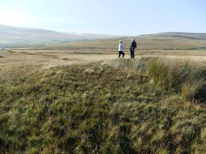 |
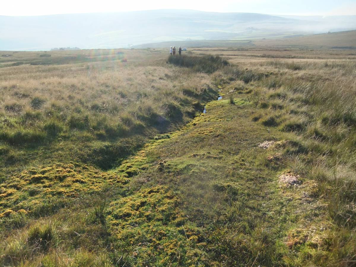
| Image 3 ID | 6474 Click image to enlarge |
| Image 3 Description | The burnt mound is at a secondary spring rise, marked by a large clump of rushes | 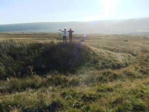 |
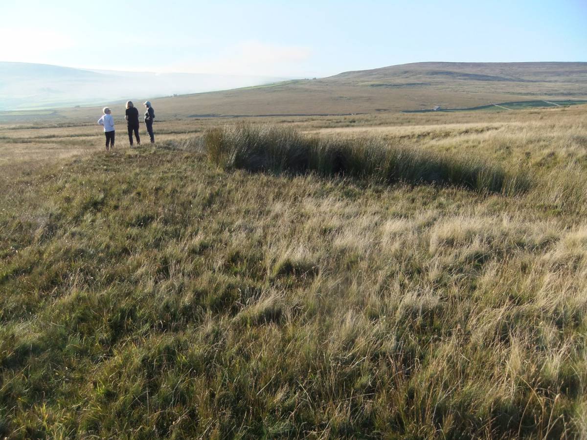
| Image 4 ID | 6475 Click image to enlarge |
| Image 4 Description | The burnt mound is located at a secondary spring rise marked by a clump of rushes some 20m below the principle spring rise |  |
| Image 5 ID | 6476 Click image to enlarge |
| Image 5 Description | The view northward to Cleasby Hill | 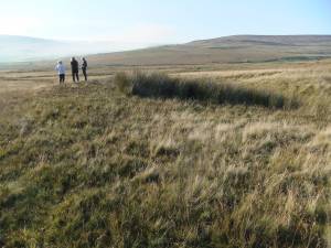 |