|
| *****SWAAG_ID***** | 895 |
| Date Entered | 25/09/2015 |
| Updated on | 18/10/2015 |
| Recorded by | Tim Laurie |
| Category | Mining Related |
| Record Type | Mining |
| SWAAG Site Name | |
| Site Type | |
| Site Name | |
| Site Description | |
| Site Access | Public Access Land |
| Location | Apedale, south side |
| Civil Parish | Castle Bolton with E and W Bol |
| Brit. National Grid | SE 02564 93995 |
| Altitude | |
| Geology | |
| Record Name | Apedale Old Smelt Mill and structure associated with slag crushing to recover lead prills. |
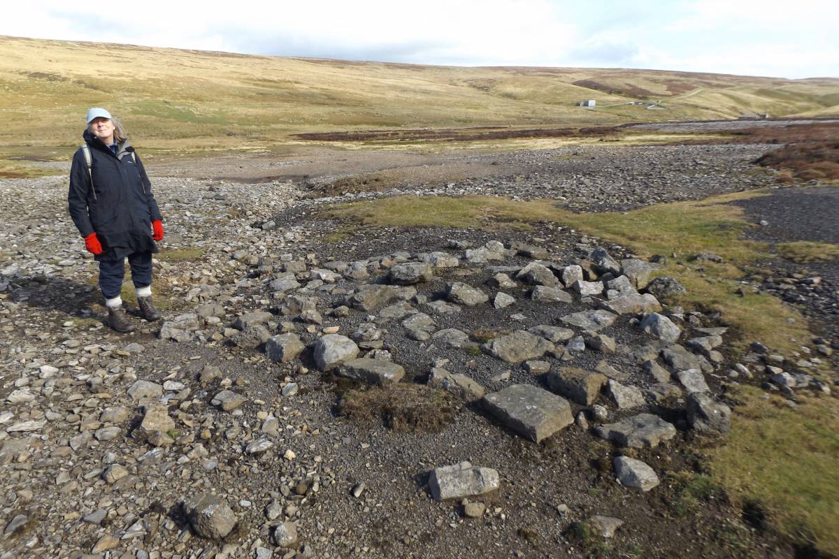
| Record Description | Apedale Old Smelt Mill located within an earlier hush gulley and above an extensive area of lead slags of differing size and character and probably also of differing age. The small circular stone structure and short wall foundation shown on the photo images was originally thought by me to be a Bale Structure embedded within later slags but has now been identified by Dr Richard Smith as the well preserved base of a structure associated with the recovery of lead prills embedded within crushed black glassy slag. The Old Smelt Mill is located some 500m west of the site of the later Apedale Cat Scar Smelt Mill (now demolished) below Dents Houses. The Old Smelt Mill is shown on 1st Edition OS Maps but not listed or described by Clough in his 'Smelt Mills of the Yorkshire Dales'. |
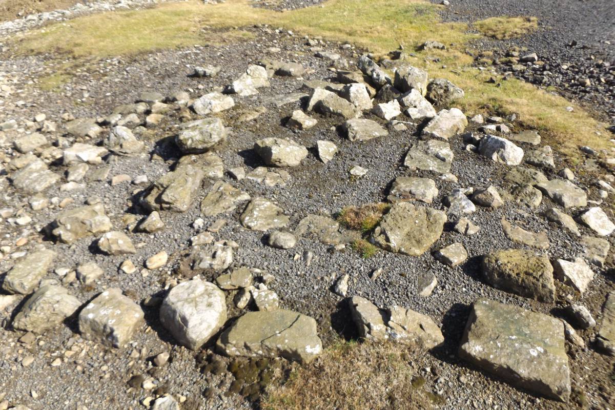
| Dimensions | For the Old Mill, See Photo 1. Crusher foundation 4.5m diameter with short length of wall foundation |
| Geographical area | |
| Species | |
| Scientific Name | |
| Common / Notable Species | |
| Tree and / or Stem Girth | |
| Tree: Position / Form / Status | |
| Tree Site ID | 0 |
| Associated Site SWAAG ID | 0 |
| Additional Notes | My thanks to Dr Richard Smith and Alan Mills for their advice. Any errors are my own. |
| Image 1 ID | 6471 Click image to enlarge |
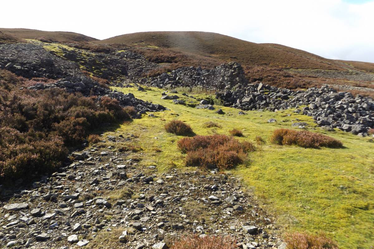
| Image 1 Description | Apedale Old Smelt Mill. Remains of the buildings and the possible chimney are not visible from the Apedale Road. | 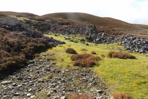 |
| Image 2 ID | 6501 Click image to enlarge |
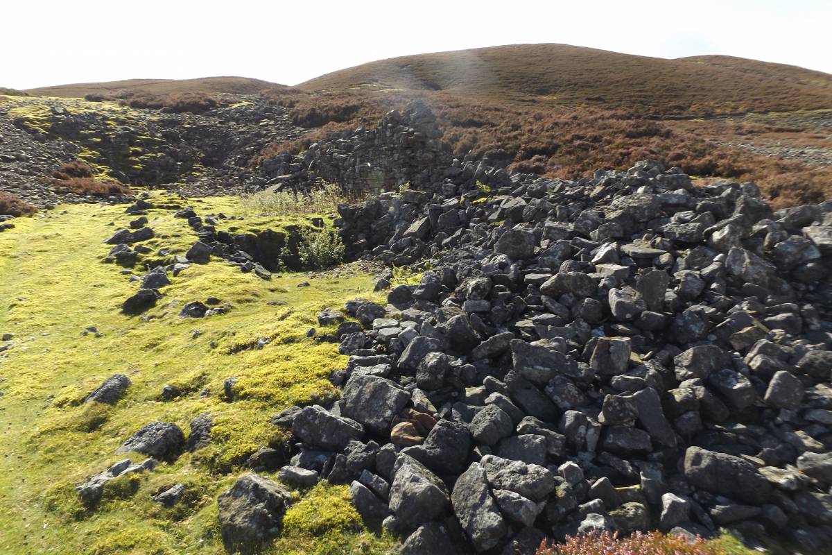
| Image 2 Description | Apedale Old Smelt Mill. Remains of the substantial buildings. | 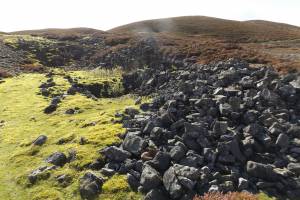 |
| Image 3 ID | 6502 Click image to enlarge |
| Image 3 Description | These remains obscured below heather may be the foundation of the Smelter Chimney. | 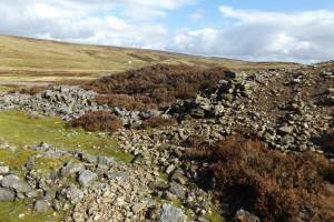 |
| Image 4 ID | 6498 Click image to enlarge |
| Image 4 Description | Apedale Old Lead Mill as shown on early OS Map | 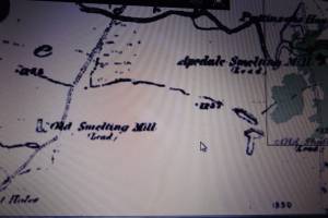 |
| Image 5 ID | 6503 Click image to enlarge |
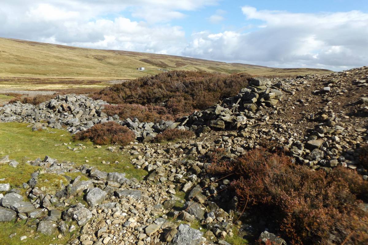
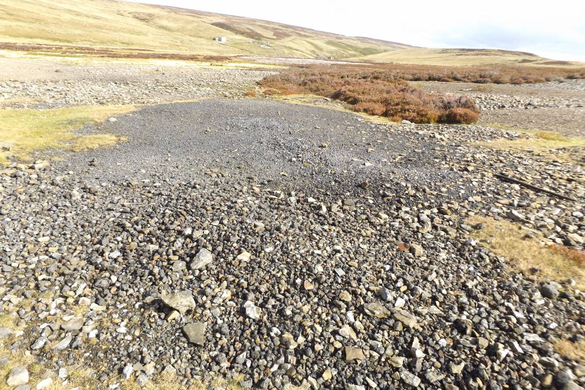
| Image 5 Description | View across area of slags towards Apedale Head |  |
| Image 6 ID | 6504 Click image to enlarge |
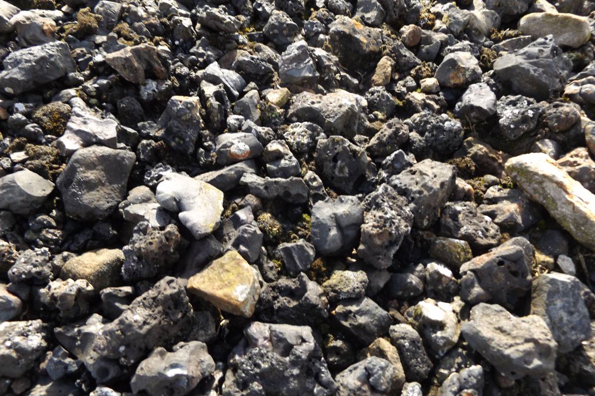
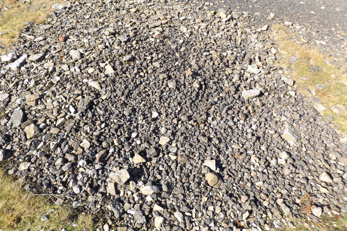
| Image 6 Description | Detail of slags | 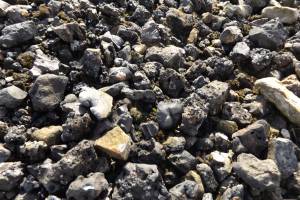 |
| Image 7 ID | 6465 Click image to enlarge |
| Image 7 Description | Apedale. View towards Dents Houses from the area with slags below the Old Mill. Circular stone structure and short wall foundation embedded in crushed slag fragments. | 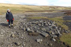 |
| Image 8 ID | 6466 Click image to enlarge |
| Image 8 Description | Detail of the crusher. |  |
| Image 9 ID | 6467 Click image to enlarge |
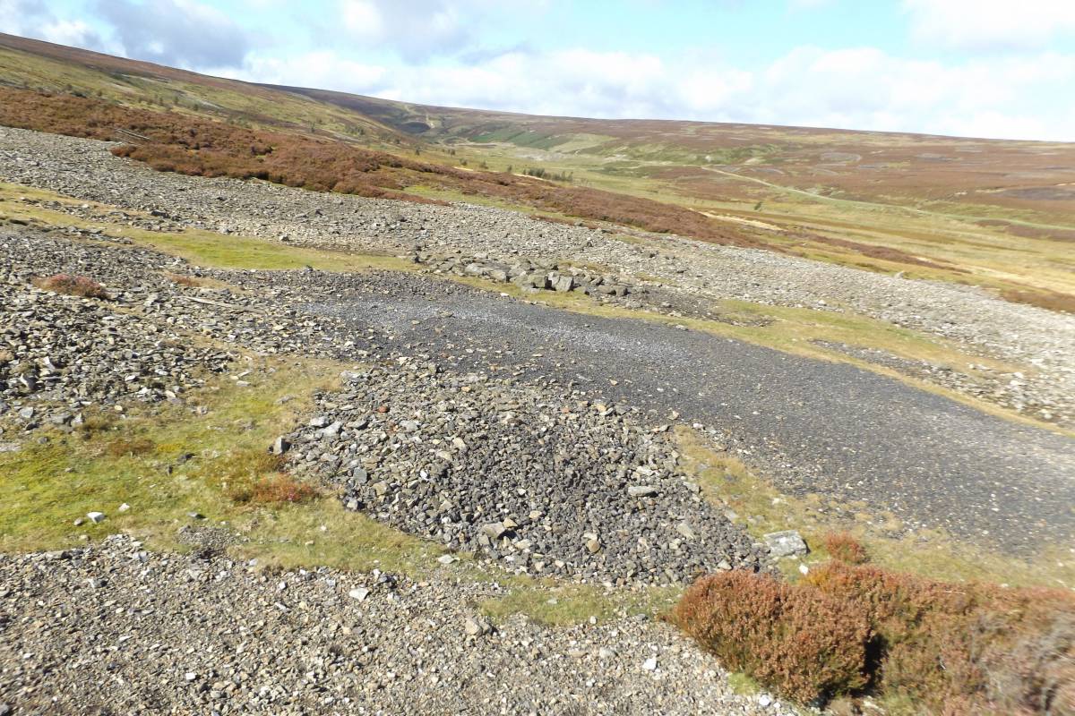
| Image 9 Description | Area of crushed black lead slag, all one size together with dumps of uncrushed slags of different appearance and size |  |
| Image 10 ID | 6468 Click image to enlarge |
| Image 10 Description | Detail of last | 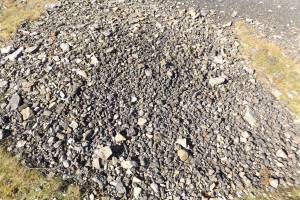 |