|
| *****SWAAG_ID***** | 918 |
| Date Entered | 26/02/2016 |
| Updated on | 26/02/2016 |
| Recorded by | Tim Laurie |
| Category | Mining Related |
| Record Type | Mining |
| SWAAG Site Name | |
| Site Type | |
| Site Name | |
| Site Description | |
| Site Access | |
| Record Date | 19/02/2016 |
| Location | The Kining Lead Mine Level |
| Civil Parish | Melbecks |
| Brit. National Grid | SD 956 993 |
| Altitude | 500m |
| Geology | The Main Limestone and Ten Fathom Grit on the NE edge of Gunnerside Gill. |
| Record Name | The Kining Lead Mine Level spoil heaps, dressed ore dumps and bouse teams |
| Record Description | The Kining Lead Mine Level and shafts (now filled in) driven on to the Kining Vein. The Kining Vein is one of three SSE trending branches of the Barbara Vein which crosses Gunnerside Gill. The British Geological Survey Memoir (Dunham and Wilson 1985) briefly mentions the Kining Level (p.128 and Figures 25 and 26) and concludes that 'the dumps give the impression that neither this vein nor ite SSE branch, known as the Kining Vein, entered from the Kining Level above Gunnerside Village, were very well mineralised; calcite being the principal mineral associated with galena.' This seems surprising in the light of the very substantial spoil heaps and dumps of dressed vein material, see photos. |
| Dimensions | See photographs. |
| Geographical area | |
| Species | |
| Scientific Name | |
| Common / Notable Species | |
| Tree and / or Stem Girth | |
| Tree: Position / Form / Status | |
| Tree Site ID | 0 |
| Associated Site SWAAG ID | 0 |
| Additional Notes | |
| Image 1 ID | 6690 Click image to enlarge |
| Image 1 Description | Approach to the Kining Lead Mine from High Scar | 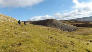 |
| Image 2 ID | 6691 Click image to enlarge |
| Image 2 Description | The extensive range of bingsteads and dressing floors bely the statement that the Kining Vein was poorly mineralised | 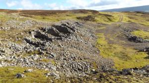 |
| Image 3 ID | 6692 Click image to enlarge |
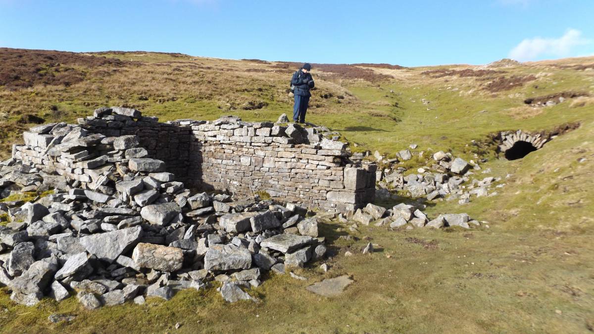
| Image 3 Description | Mine Shop and portal to the Kining Level | 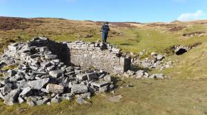 |
| Image 4 ID | 6693 Click image to enlarge |
| Image 4 Description | The Kining Level has collapsed a few metres from the portal | 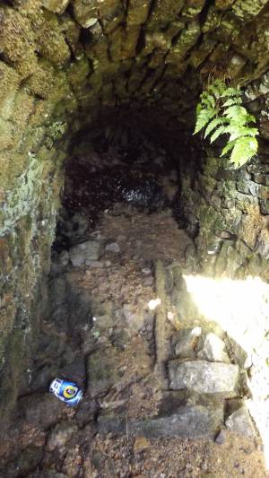 |
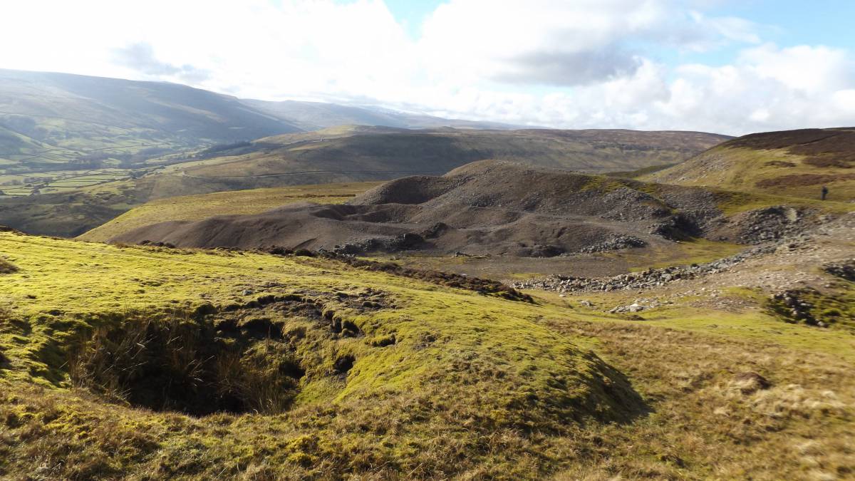
| Image 5 ID | 6694 Click image to enlarge |
| Image 5 Description | The spoil dumps from above the portal | 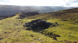 |
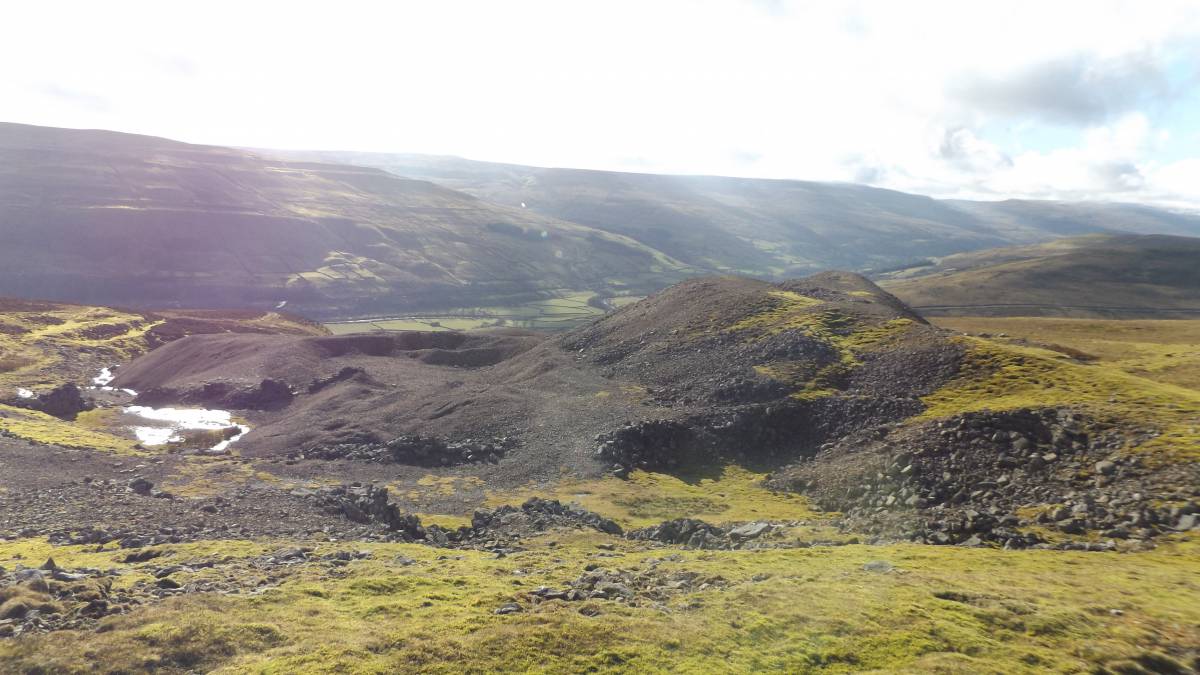
| Image 6 ID | 6695 Click image to enlarge |
| Image 6 Description | The spoil dumps and an earlier shaft mound. | 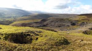 |
| Image 7 ID | 6696 Click image to enlarge |
| Image 7 Description | Dressing floors, settling ponds,dam walls etc | 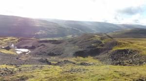 |
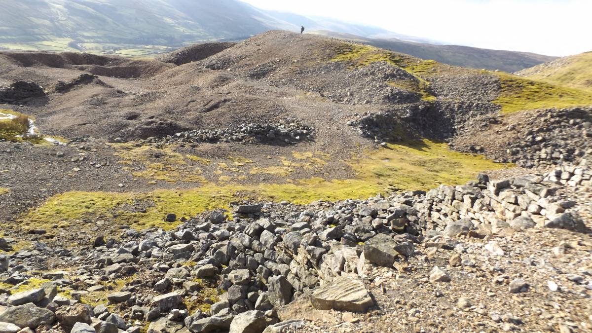
| Image 8 ID | 6697 Click image to enlarge |
| Image 8 Description | Spoil heaps from the top of the bouse team | 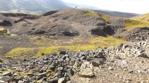 |
| Image 9 ID | 6698 Click image to enlarge |
| Image 9 Description | Calcite on the dressing floor | 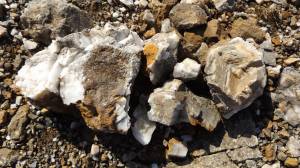 |
| Image 10 ID | 6699 Click image to enlarge |
| Image 10 Description | Bing steads and dressing floors. | 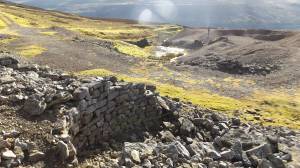 |