|
| *****SWAAG_ID***** | 737 |
| Date Entered | 07/07/2013 |
| Updated on | 07/07/2013 |
| Recorded by | Tim Laurie |
| Category | Settlement |
| Record Type | Archaeology |
| SWAAG Site Name | |
| Site Type | |
| Site Name | |
| Site Description | |
| Site Access | Public Access Land |
| Record Date | 05/07/2013 |
| Location | Malham Moor. Middle House Pasture. |
| Civil Parish | Not known |
| Brit. National Grid | SD 901 681 |
| Altitude | 475M |
| Geology | Great Scar Limestone Karst scenery with pavement and adjacent doline depression and watersink.
Reference: Waltham, D. and Lowe, D. (Eds.) 2013. 'Caves and Karst of the Yorkshire Dales. Volume 1.' British Cave Research Association. ISBN 978-0-900265-46-4 (paperback).
Volume 1 of this invaluable new book includes a total of 16 chapters written by specialist researchers on different aspects of the Pennine Limestone Scenery and provides a comprehensive review of the current understanding of the landscapes of the Craven Limestone Uplands. |
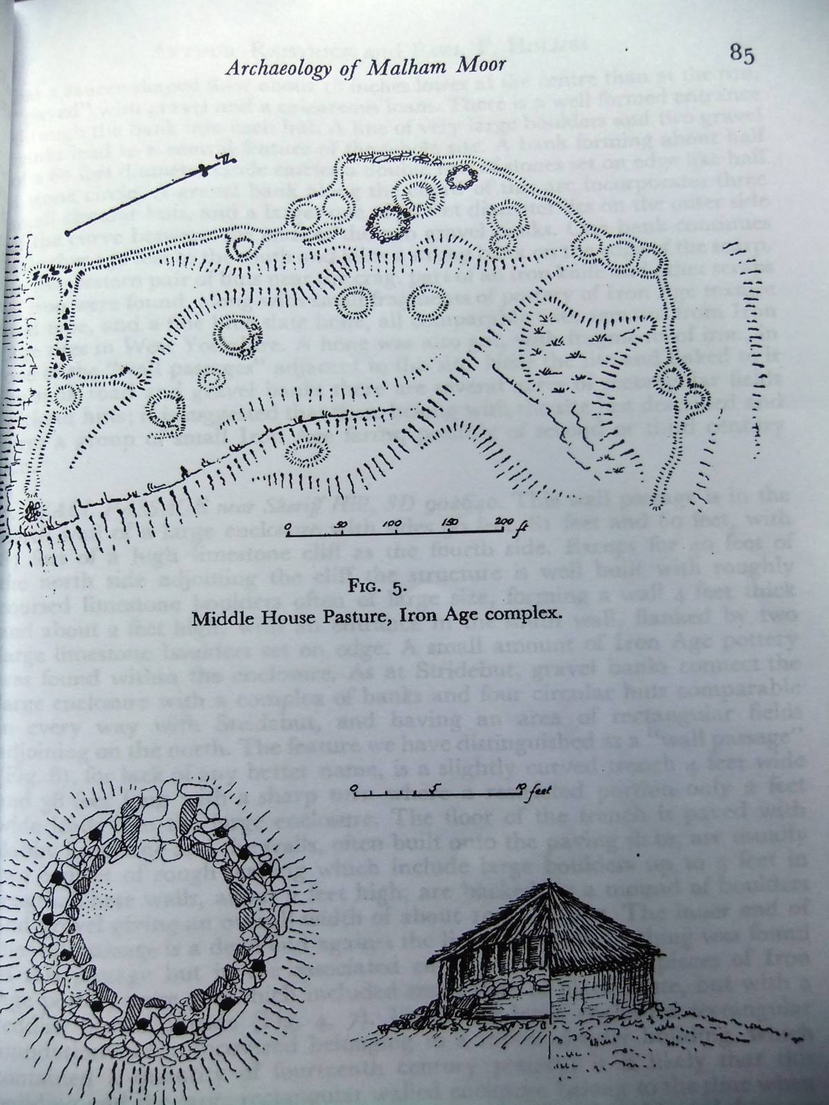
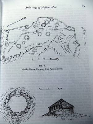
| Record Name | Malham Moor. Round house settlement on Middle House Pasture. |
| Record Description | This settlement comprises a total of twenty two round houses and ancillary huts enclosed by a very substantial stone bank which has the appearance of a very large paddock-like field. A further very large paddock enclosure which appears devoid of huts is attached to this settlement enclosure.
This very high village settlement has the appearance (and probably a similar function) of an African kraal and would have been occupied by pastoralist farmers with their animals taking advantage of the fine grassland and hazel scrub browse during the summer months.
The settlement is located close by a doline depression and water sink, now infilled with shallow peat, which would have provided the essential open water supply, very scarce on the limestone uplands.
It should be borne in mind that the areas of extensive limestone pavement would have been concealed under a loessic soil of windborne silt of late glacial origine. This soil supported light hazel scrub and mixed deciduous limestone ashwood.
The present open grassland landscape of Malham Moor developed following woodland clearance and intensive grazing during the Iron Age and subsequently.
For a survey of this settlement, see Arthur Raistrick with Paul Holmes, 1962.
'Archaeology of Malham Moor.' (I am indebted to Ric Carter for providing me with a copy of Arthur Raistrick's 'Archaeology of Malham Moor.')
|
| Dimensions | Settlement enclosure bank contains 22 round houses and is 400m in circumference. Second attached enclosure is larger. |
| Geographical area | |
| Species | |
| Scientific Name | |
| Common / Notable Species | |
| Tree and / or Stem Girth | |
| Tree: Position / Form / Status | |
| Tree Site ID | 0 |
| Associated Site SWAAG ID | 0 |
| Additional Notes | Raistrick excavated two of the round houses at Middle House Pasture. He describes the excavation and the few finds. By analogy with other sites in the area, Raistrick considered that the settlement at Middle House pasture was of Late Iron Age or Romano British Age. |
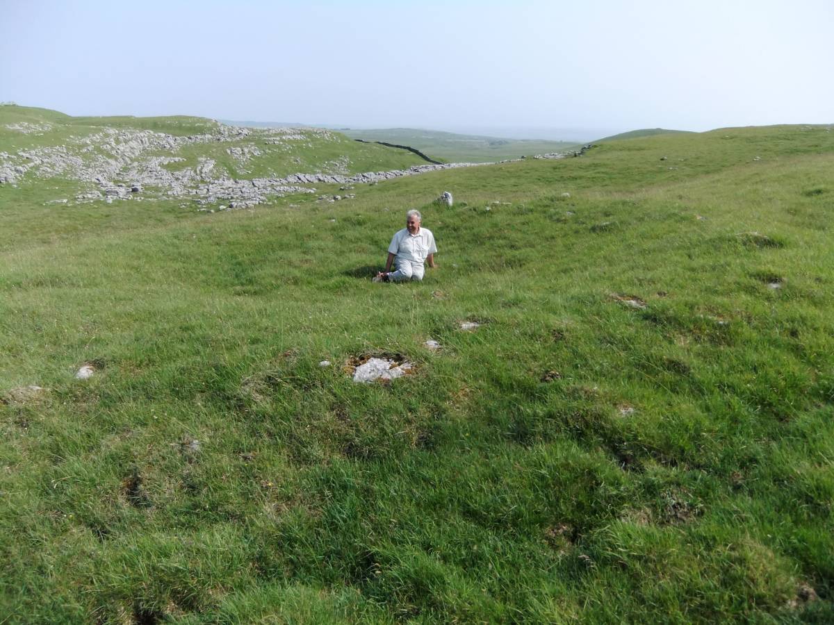
| Image 1 ID | 4540 Click image to enlarge |
| Image 1 Description | The settlement location on Middle House Pasture. Above the Scar in middle distance. | 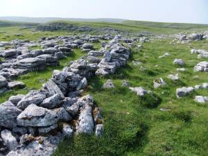 |
| Image 2 ID | 4547 Click image to enlarge |
| Image 2 Description | Ric in possession. | 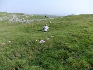 |
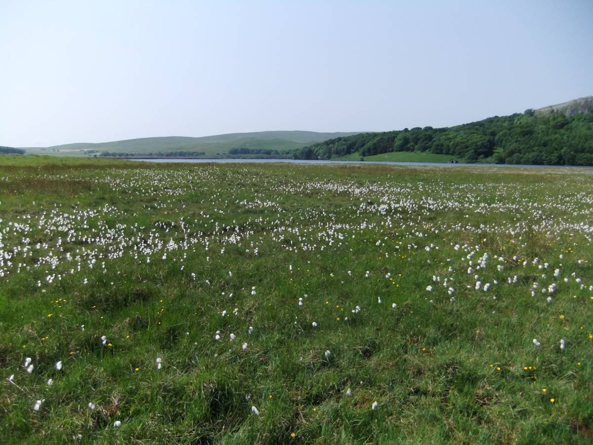
| Image 3 ID | 4536 Click image to enlarge |
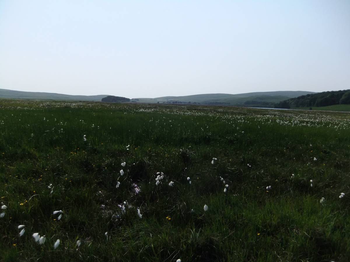
| Image 3 Description | The walk to Middle House Pasture passes Ha Mire and Great Close Mire which were once extensions of Malham Tarn visible in distance. | 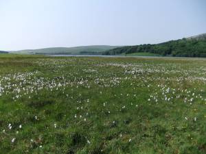 |
| Image 4 ID | 4537 Click image to enlarge |
| Image 4 Description | Cotton Grass with Birds Eye Primrose. | 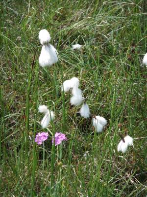 |
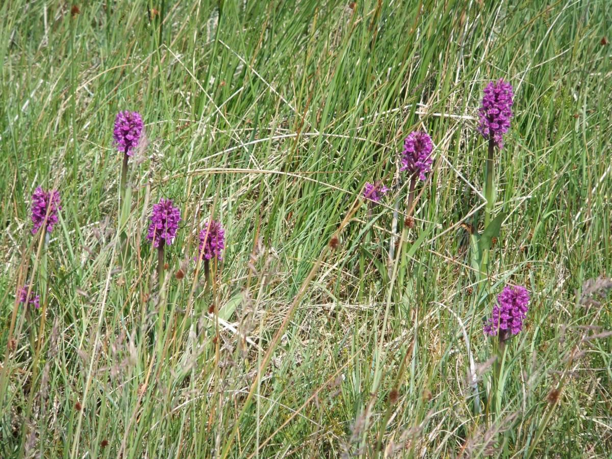
| Image 5 ID | 4538 Click image to enlarge |
| Image 5 Description | Northern Marsh Orchids. | 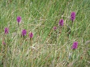 |
| Image 6 ID | 4539 Click image to enlarge |
| Image 6 Description | Ha Mire is Spring fed. Bog bean seen here. | 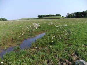 |
| Image 7 ID | 4554 Click image to enlarge |
| Image 7 Description | Great Close Scar. Round barrow on summit. Mesolithic Sites were located at the edge of Ha Mire, then open water, below the Scar | 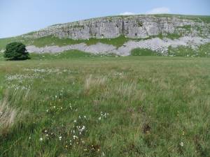 |
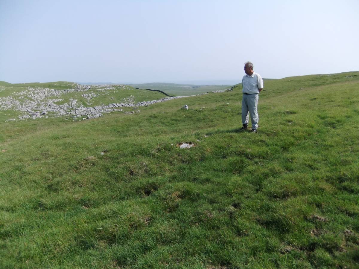
| Image 8 ID | 4545 Click image to enlarge |
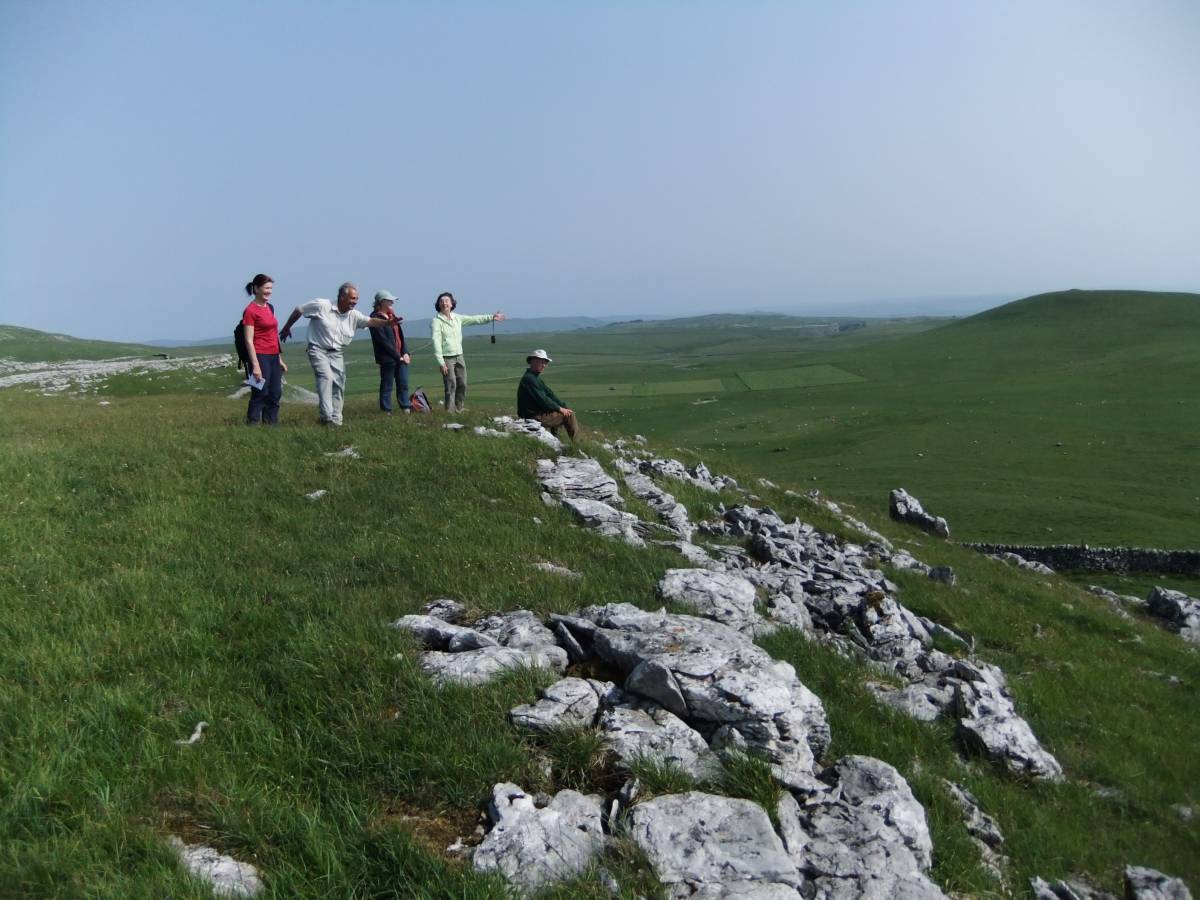
| Image 8 Description | The Settlement enclosure with round houses and Jackie surveying the scene. | 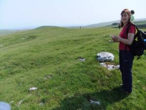 |
| Image 9 ID | 4546 Click image to enlarge |
| Image 9 Description | Ric , in possession and Master of all he possesses. | 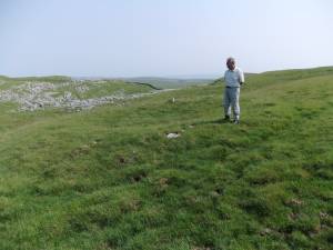 |
| Image 10 ID | 4548 Click image to enlarge |
| Image 10 Description | 'Farewell to the ancient world... but a Brave New World awaits...' | 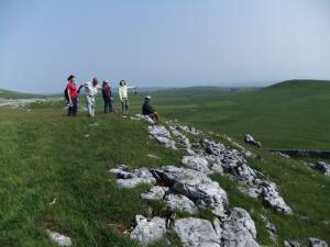 |
| Image 11 ID | 4549 |
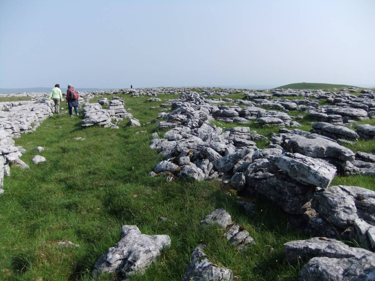
| Image 11 Description | The long walk back to Malham Tarn starts across limestone pavement. Clints and grykes were formed below loessic soil which supported hazel scrub and limestone ashwood. An Iron Age field boundary crosses the bare limestone, once woodland. |  |
| Image 12 ID | 4550 |
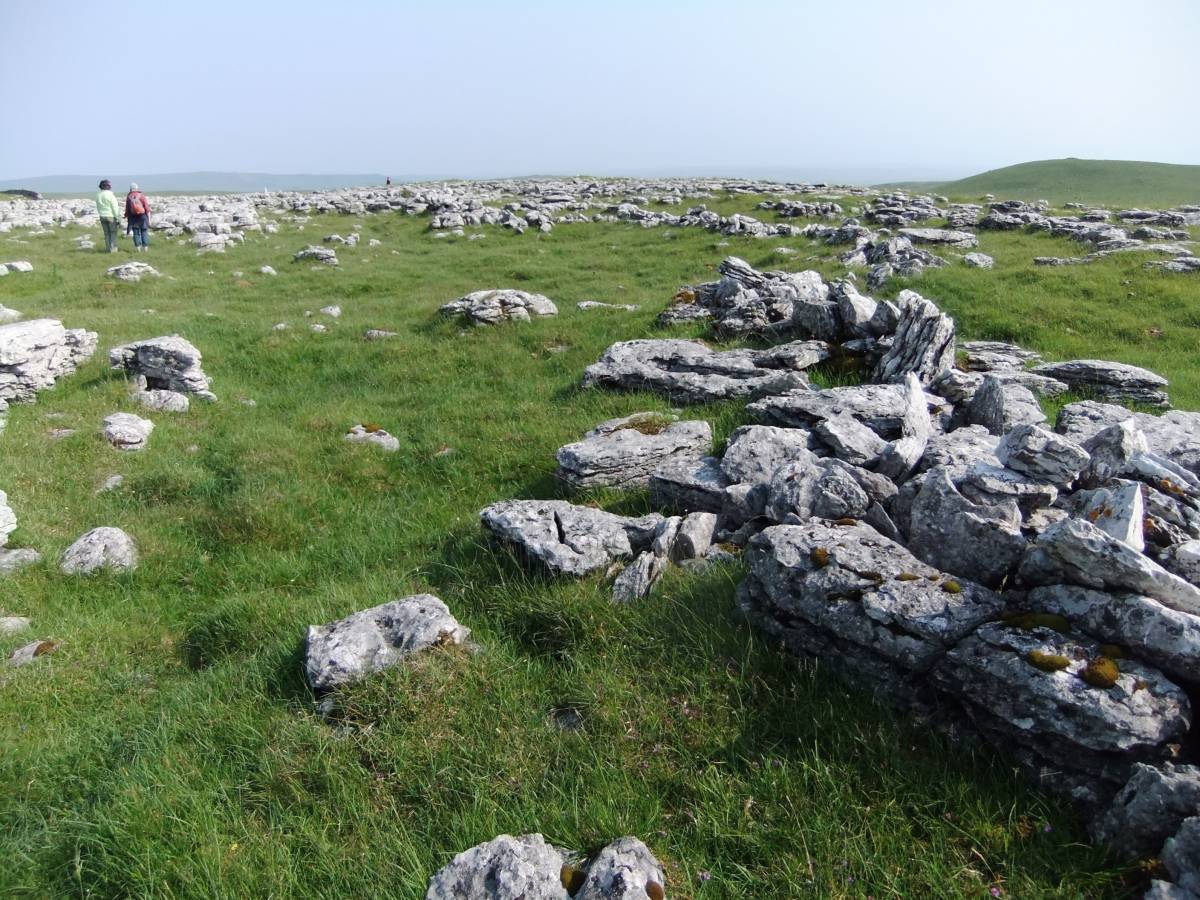
| Image 12 Description | Clints and grykes were formed below loessic soil which supported hazel scrub and limestone ashwood. An Iron Age field boundary crosses the bare limestone, once woodland. | 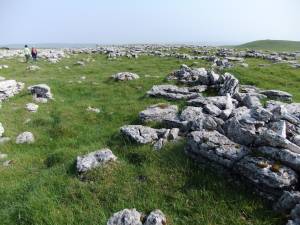 |
| Image 13 ID | 4551 |
| Image 13 Description | Malham Tarn. Evening sun. | 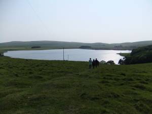 |
| Image 14 ID | 4552 |
| Image 14 Description | 'I think I can see where the cars may be...' | 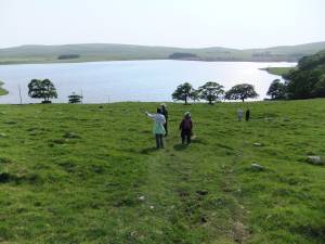 |
| Image 15 ID | 4553 |
| Image 15 Description | Ha Mire again. | 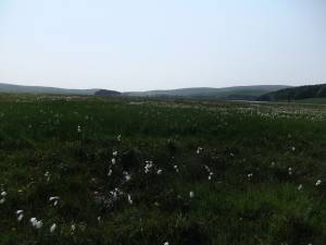 |
| Image 16 ID | 4555 |
| Image 16 Description | Arthur Raistrick.1962. Archaeology of Malham Moor, Figures 5 Middle House Moor. Iron Age Complex and 6. Hut on Middle House Moor. Plan and Reconstruction. Field Studies 1, 73-100.:
|  |