|
| *****SWAAG_ID***** | 745 |
| Date Entered | 19/08/2013 |
| Updated on | 19/08/2013 |
| Recorded by | Tim Laurie |
| Category | Burial Mounds and Cairns |
| Record Type | Archaeology |
| SWAAG Site Name | |
| Site Type | |
| Site Name | |
| Site Description | |
| Site Access | Public Access Land |
| Record Date | 10/08/2013 |
| Location | Jack Standards. |
| Civil Parish | Not known |
| Brit. National Grid | NY 822 054 |
| Altitude | 635m |
| Geology | Namurian strata. Lower Howgate Edge Grit. |
| Record Name | Prominent round cairn at Jack Standards. |
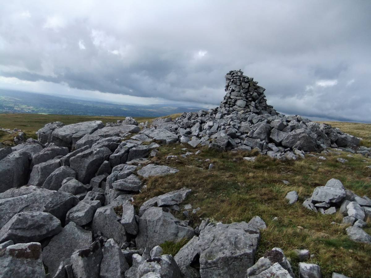
| Record Description | This loosely constructed round cairn has been described by Andrew Fleming (Fleming, 1998, Figure 8.2) as a probable Bronze Age cairn and the fact that this cairn occupies such a fine location overlooking the Vale of Eden and Mallerstang where several similar Bronze Age monuments testify to Bronze Age activity, lends weight to this interpretation.
The cairn itself is surmounted by the usual stone 'man' -the much smaller modern structure used to mark a pathway from the lower dale to the high moorland. |
| Dimensions | See photos |
| Geographical area | |
| Species | |
| Scientific Name | |
| Common / Notable Species | |
| Tree and / or Stem Girth | |
| Tree: Position / Form / Status | |
| Tree Site ID | 0 |
| Associated Site SWAAG ID | 0 |
| Additional Notes | Bronze Age Burial Cairns at higher elevations in the NE Pennine Dales are always built of limestone as for example How Tallon cairn on Barningham Moor or sandstone rock as for example the cup marked cairn on Addlebrough and Stony Raise Cairn on Greenber Edge in Bainbridge Parish, Wensleydale.
Earthen round barrows are usually small and steep sided and recognisably man made.
Larger earthen elongated mounds are often mistaken as burial mounds, but on examination the unsorted glacial clays, sands and gravel composition betrays their glacial origin. |
| Image 1 ID | 4636 Click image to enlarge |
| Image 1 Description | Round cairn at Jack Standards. |  |
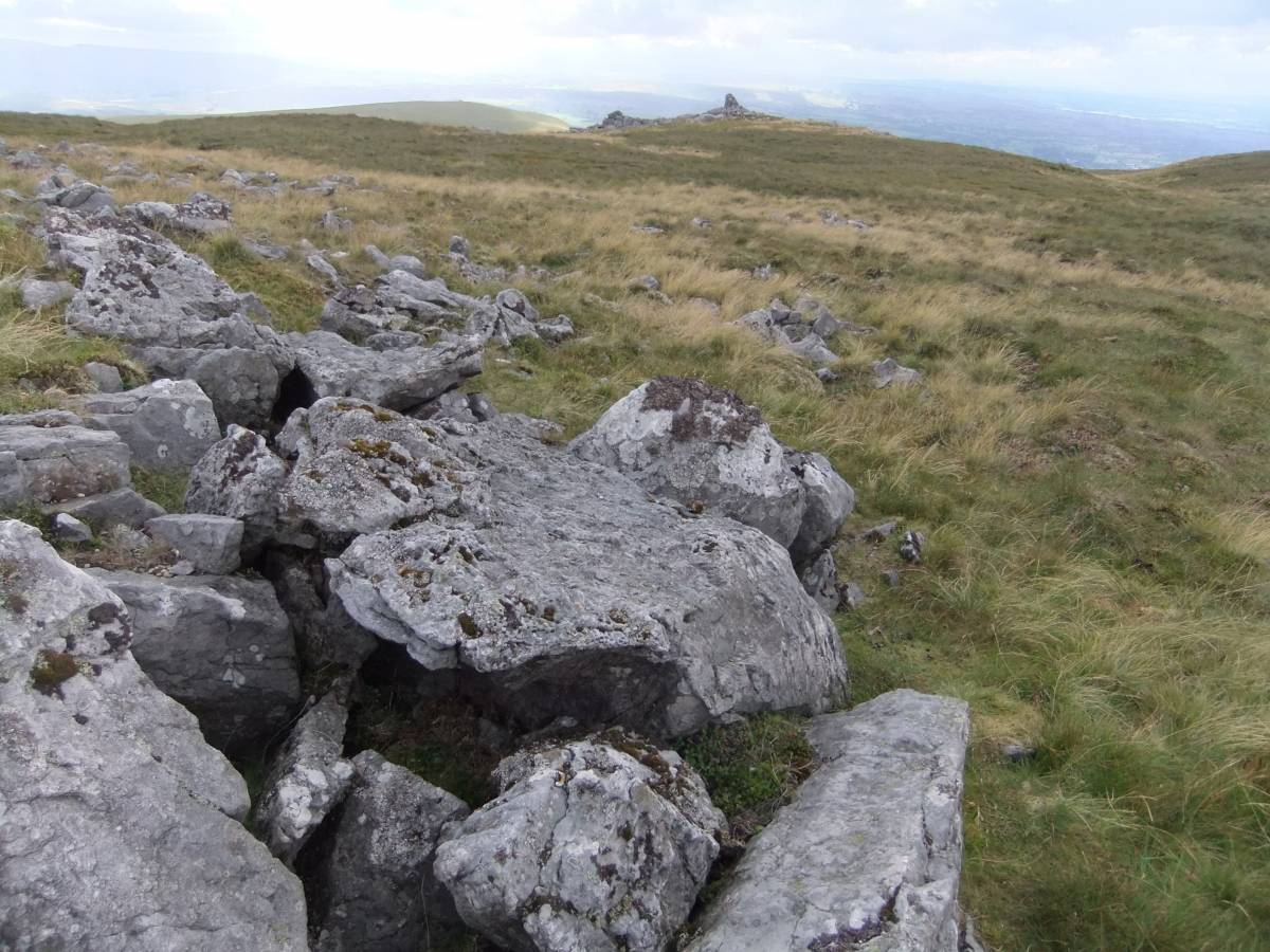
| Image 2 ID | 4637 Click image to enlarge |
| Image 2 Description | View of the cairn from the moorland to the east. |  |
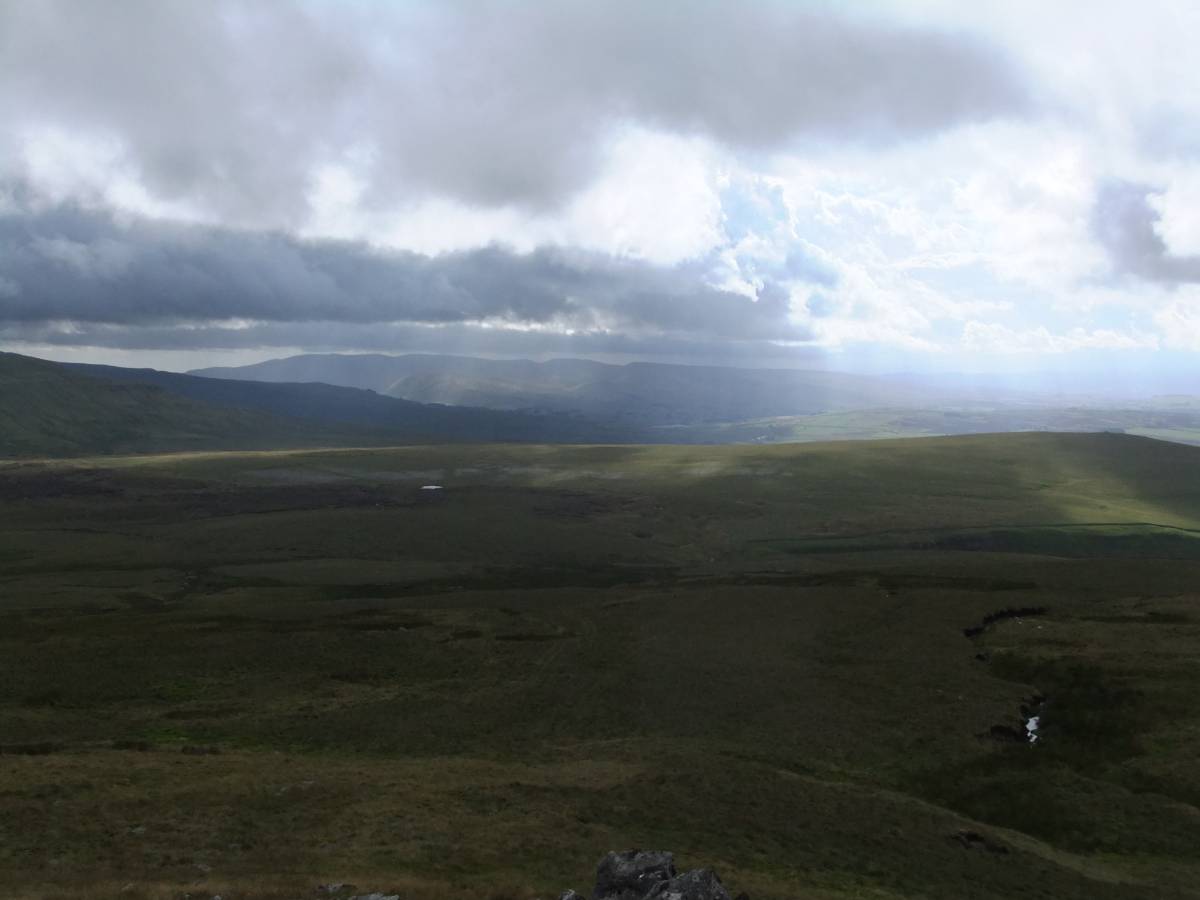
| Image 3 ID | 4638 Click image to enlarge |
| Image 3 Description | View from the cairn westward. | 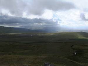 |
| Image 4 ID | 4639 Click image to enlarge |
| Image 4 Description | View from the cairn down to Mallerstang Edge and the road from Keld to Nateby and Kirby Stephen | 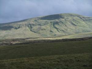 |
| Image 5 ID | 4640 Click image to enlarge |
| Image 5 Description | The cairn and view westward. | 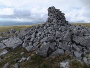 |