|
| *****SWAAG_ID***** | 743 |
| Date Entered | 01/08/2013 |
| Updated on | 01/08/2013 |
| Recorded by | Tim Laurie |
| Category | Geographical Record |
| Record Type | General HER |
| SWAAG Site Name | |
| Site Type | |
| Site Name | |
| Site Description | |
| Site Access | Public Access Land |
| Record Date | 28/07/2013 |
| Location | Sleightholme Beck |
| Civil Parish | Not known |
| Brit. National Grid | |
| Altitude | |
| Geology | Glacially enlarged stream valley with cliff exposures of the Main Chert Series and narrow stream gorge enlarged by meltwater through the Main Limestone. |
| Record Name | A walk by SWAAG Members along Sleghtholme Beck above The Trough to East Mellwaters Farm and return by Trough Heads. |
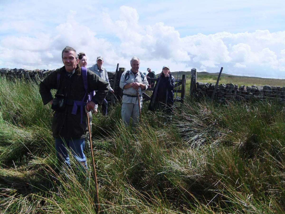
| Record Description | This is a photographic record, with minimal comment of a walk by SWAAG Members on a fine July Day along Sleghtholme Beck above The Trough to East Mellwaters Farm and return by Trough Heads.
Please refer to previous SWAAG Database Records for the archaeological and geological sites seen during this walk. |
| Dimensions | See photos |
| Geographical area | |
| Species | |
| Scientific Name | |
| Common / Notable Species | |
| Tree and / or Stem Girth | |
| Tree: Position / Form / Status | |
| Tree Site ID | 0 |
| Associated Site SWAAG ID | 0 |
| Additional Notes | See photo captions. |
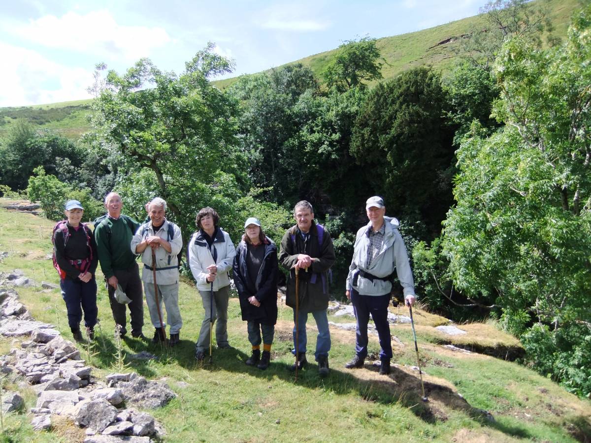
| Image 1 ID | 4606 Click image to enlarge |
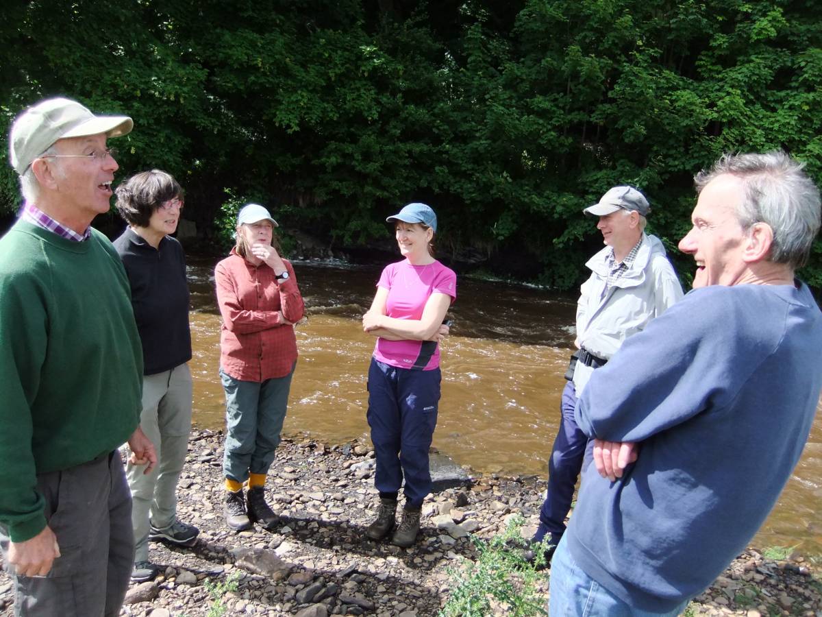
| Image 1 Description | SWAAG Members at The Trough, Sleightholme Beck. After lunch. |  |
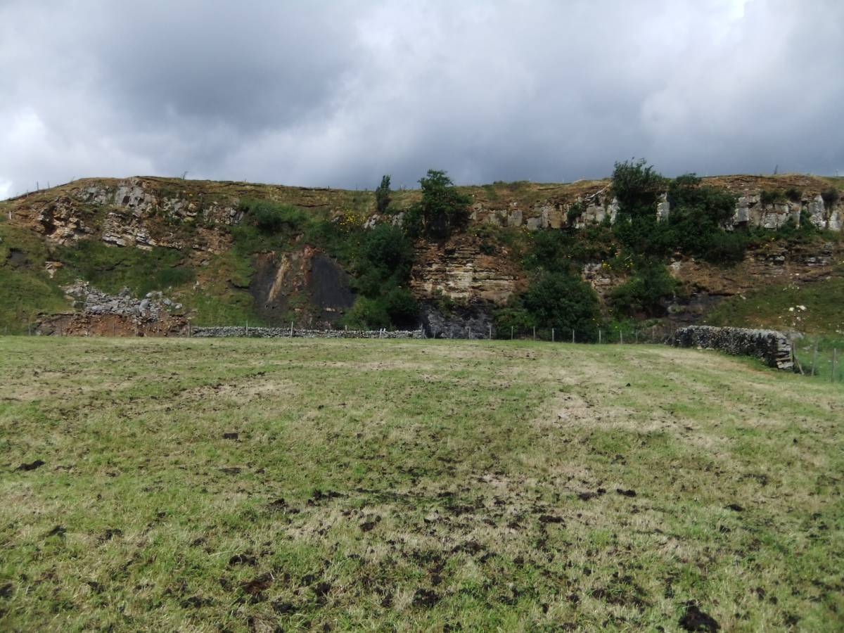
| Image 2 ID | 4594 Click image to enlarge |
| Image 2 Description | Sleightholme Bog Scar. Faulted Namurian sandstones, mudstones and shales are well exposed in this cliff. | 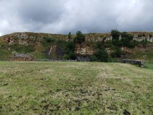 |
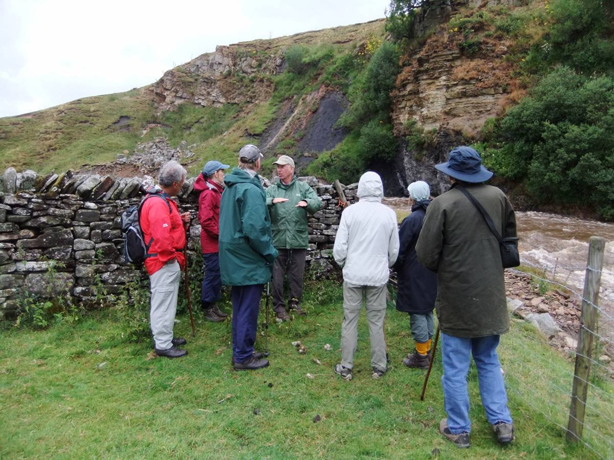
| Image 3 ID | 4595 Click image to enlarge |
| Image 3 Description | John in full geological flight. |  |
| Image 4 ID | 4599 Click image to enlarge |
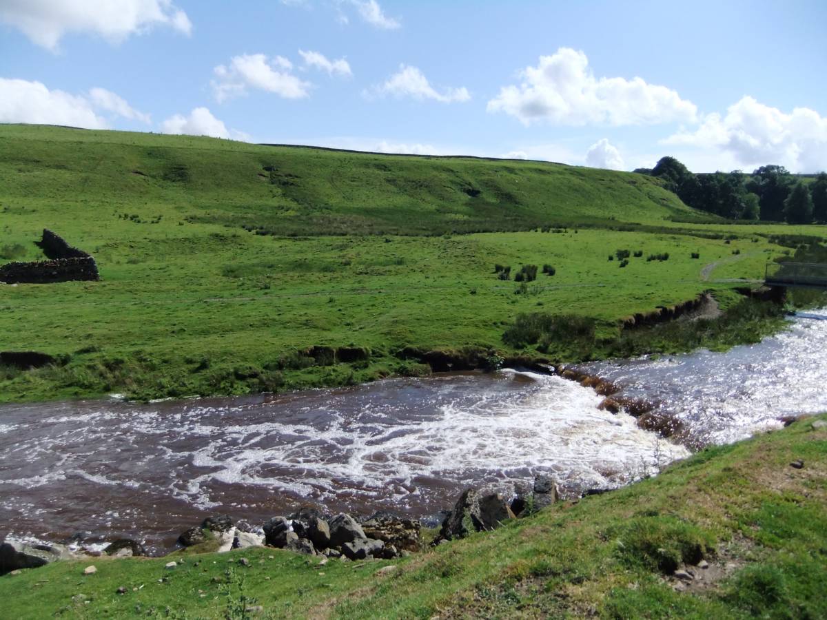
| Image 4 Description | The footbridge taking the Pennine Way across Sleightholme Beck. | 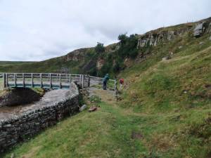 |
| Image 5 ID | 4596 Click image to enlarge |
| Image 5 Description | Remains of a barn beside the Pennine Way. | 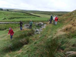 |
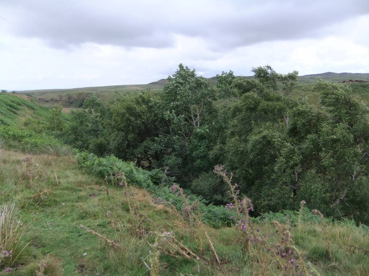
| Image 6 ID | 4598 Click image to enlarge |
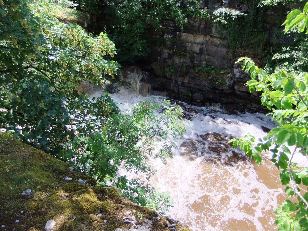
| Image 6 Description | Glacially enlarged ravine of Sleghtholme Beck. The line of this stream is controlled by the fault seen in Bog Scar. | 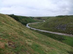 |
| Image 7 ID | 4600 Click image to enlarge |
| Image 7 Description | Aspens,Rowans, Downy Birch and Sallows on a small cliff. | 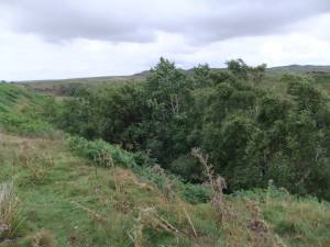 |
| Image 8 ID | 4601 Click image to enlarge |
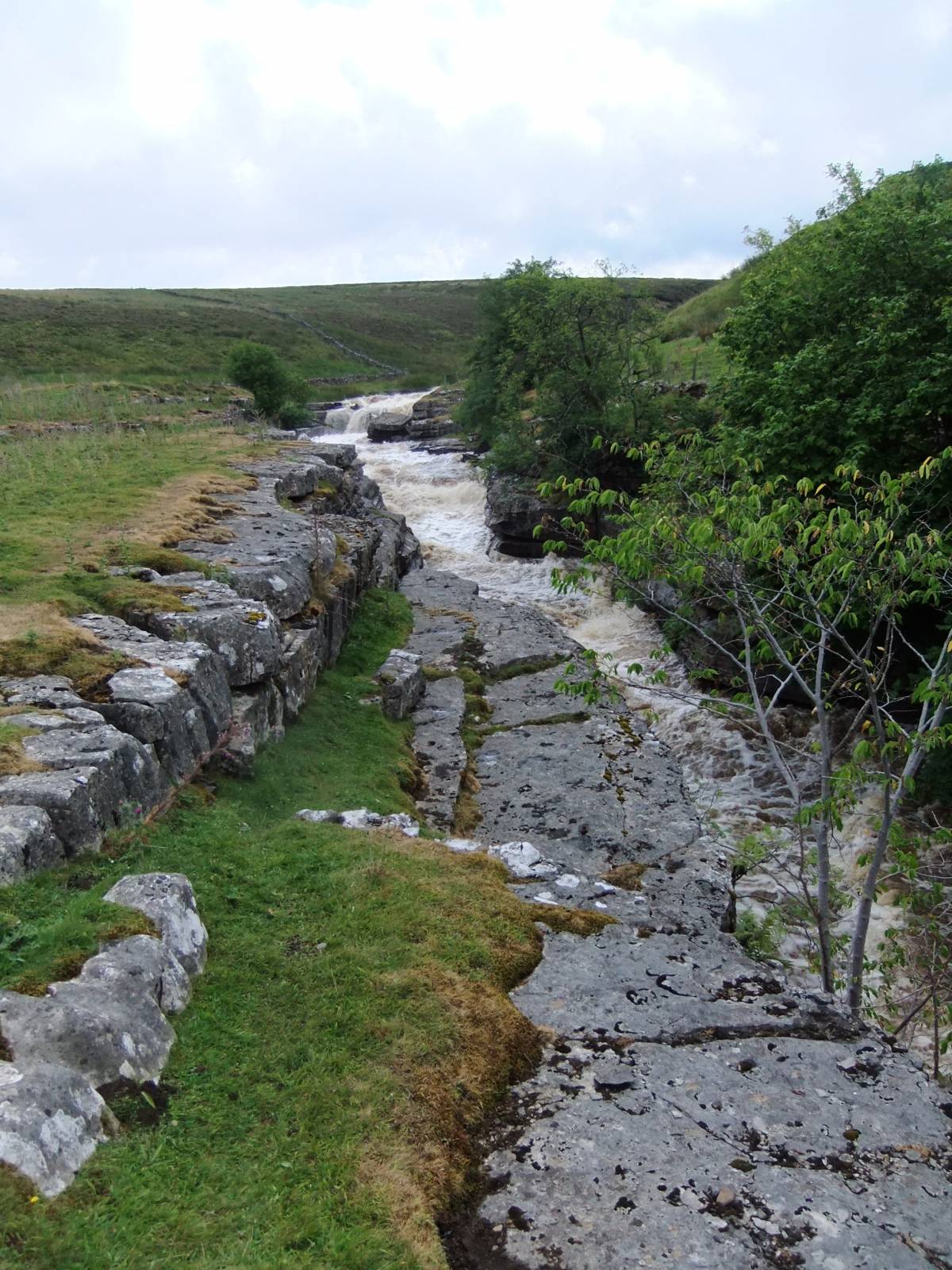
| Image 8 Description | The Trough with Sleightholme Beck in spate. |  |
| Image 9 ID | 4602 Click image to enlarge |
| Image 9 Description | Lunch by the limestone ravine or gorge. I forget which it is, where is my notebook? | 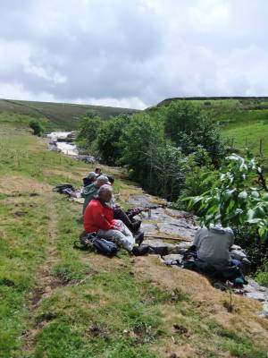 |
| Image 10 ID | 4604 Click image to enlarge |
| Image 10 Description | The river in spate. |  |
| Image 11 ID | 4607 |
| Image 11 Description | The way down to East Mellwaters. |  |
| Image 12 ID | 4608 |
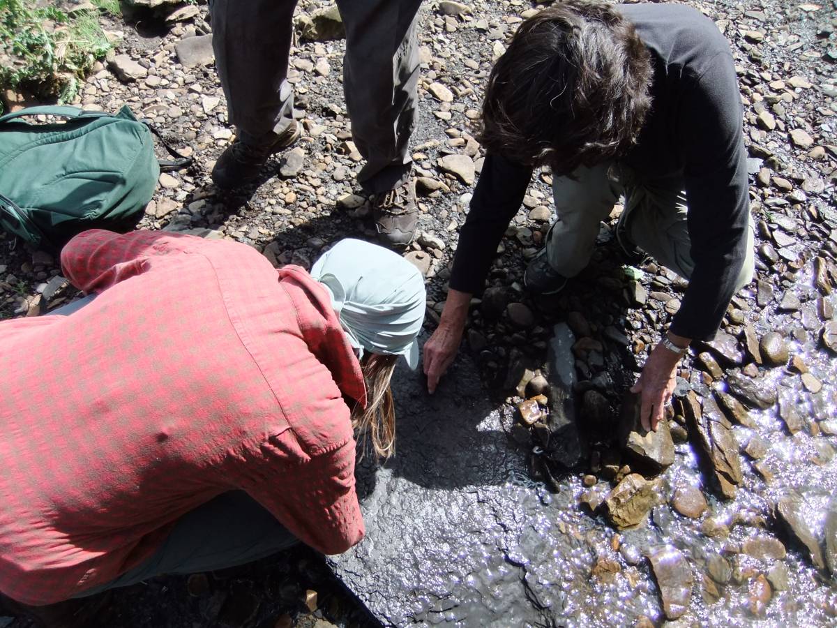
| Image 12 Description | John explains the relationship between the light refraction through the Calcite Crystal and the development of the compound eye of the trilobite. | 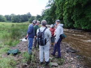 |
| Image 13 ID | 4609 |
| Image 13 Description | John explains to an incredulous but rapt audience that the human skeleton is descended from the ability of a trilobite to evolve an external shell by covering its tiny pink defenceless body with one of the most unexpected substances, whose name I care not to mention. |  |
| Image 14 ID | 4612 |
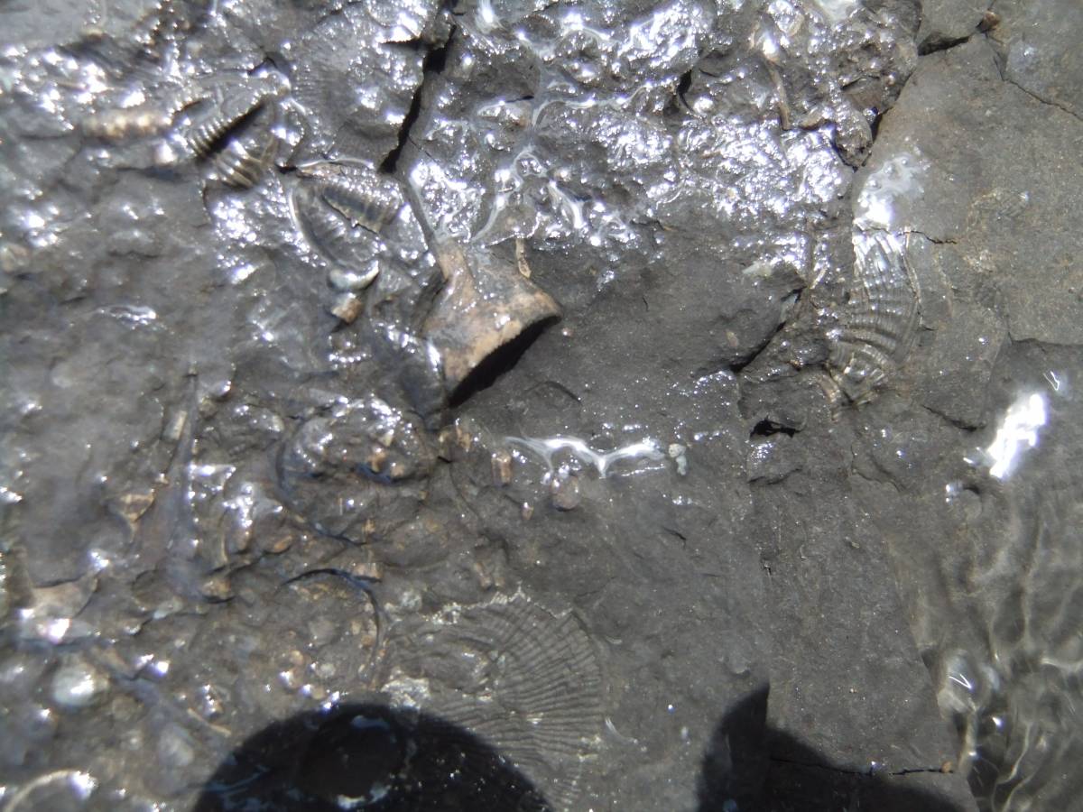
| Image 14 Description | At last, here they are! |  |
| Image 15 ID | 4611 |
| Image 15 Description | The last of the Trilobites, very small and just the tripartite tail sections survive. | 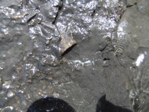 |
| Image 16 ID | 4613 |
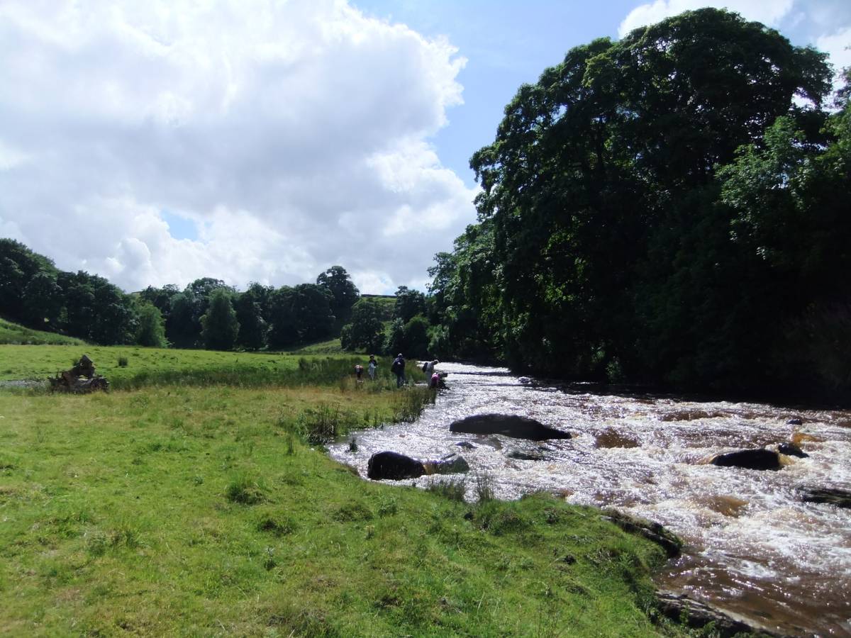
| Image 16 Description | View upstream to the Trough |  |
| Image 17 ID | 4614 |
| Image 17 Description | Lime trees | 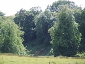 |
| Image 18 ID | 4615 |
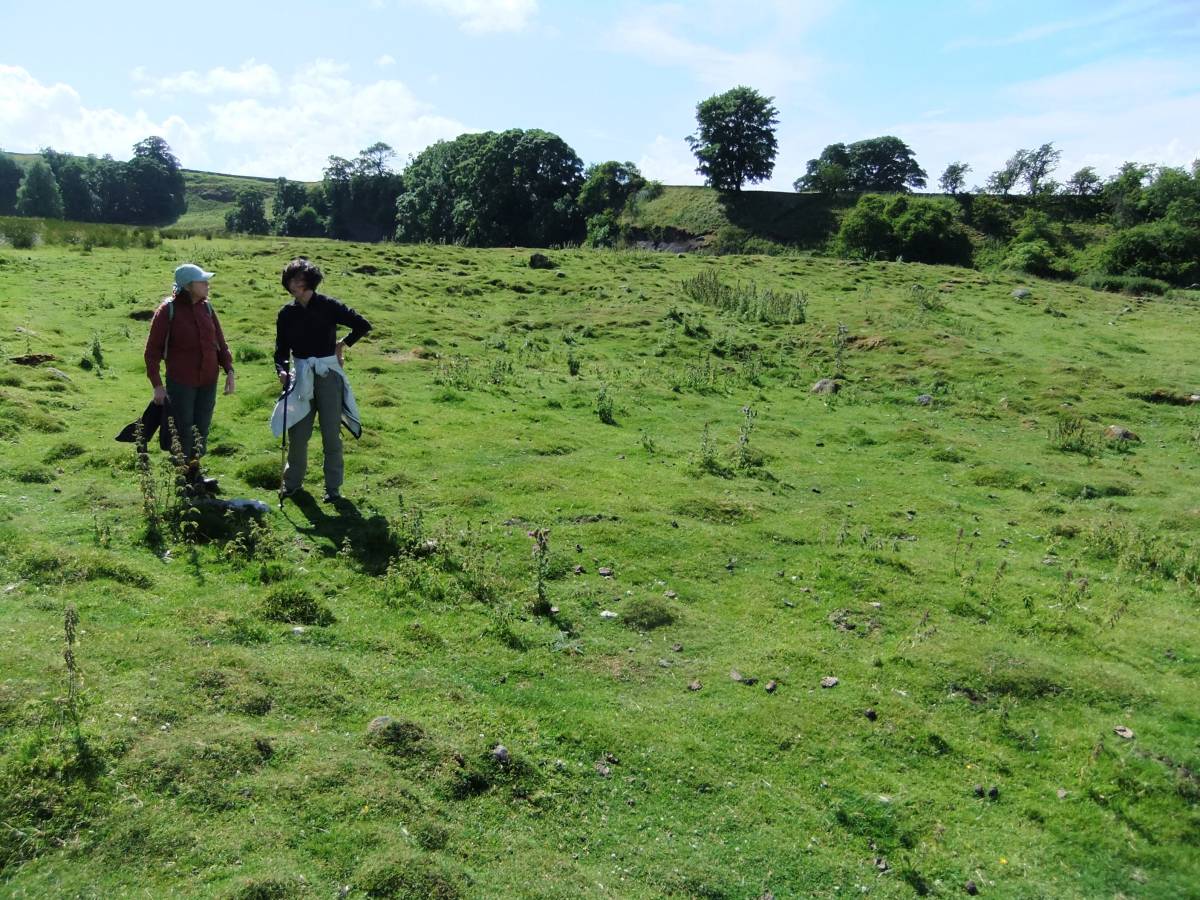
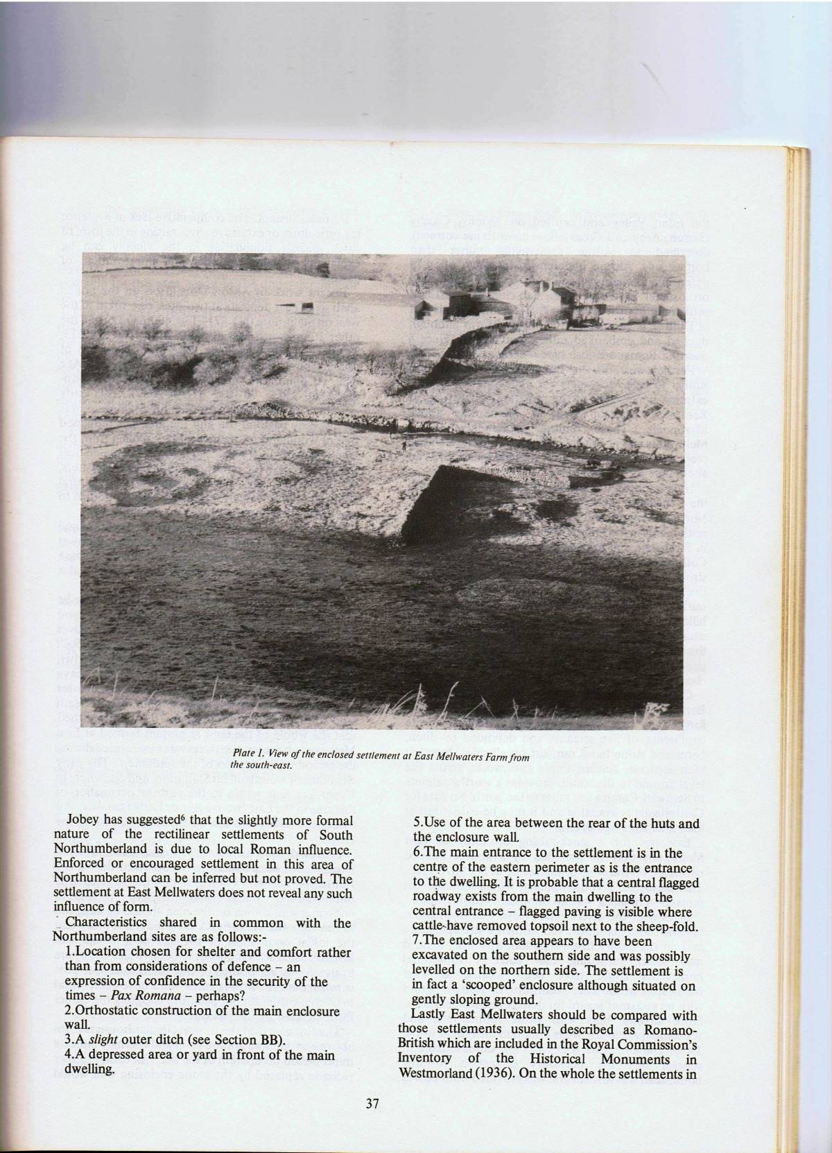
| Image 18 Description | Native enclosed round house settlement at East Mellwaters. The 3m wide enclosing bank quarried out for the construction of an overlying sheepfold. | 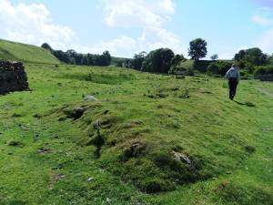 |
| Image 19 ID | 4616 |
| Image 19 Description | The curviliniear stone bank encloses three round houses and several ancillary huts. |  |
| Image 20 ID | 4617 |
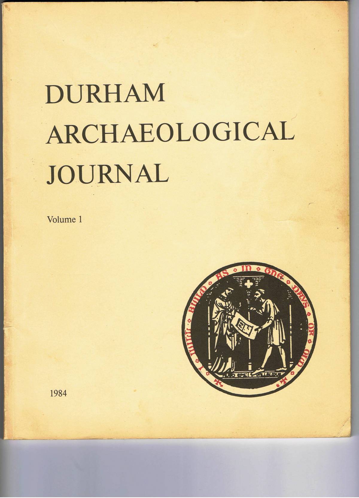
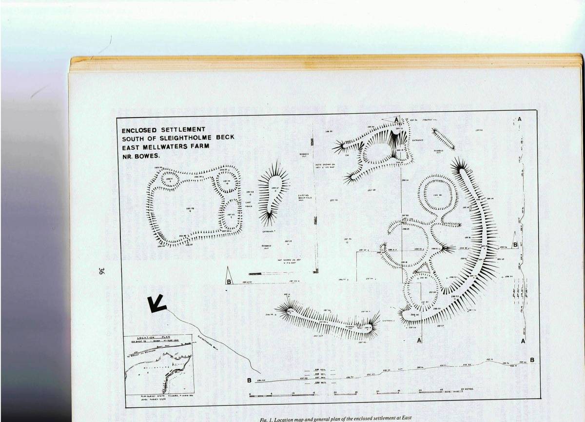
| Image 20 Description | The largest round house is flanked by two smaller round houses, see survey report and plan. Durham Archaeological Journal, 1. 1984 pp35-39. |  |
| Image 21 ID | 4621 |
| Image 21 Description | Ab Enclosed Settlement near East Mellwaters Farm, Bowed, Co Durham. Durham Arch. Journal Volume 1. 1984 pp35-39 |  |
| Image 22 ID | 4622 |
| Image 22 Description | | 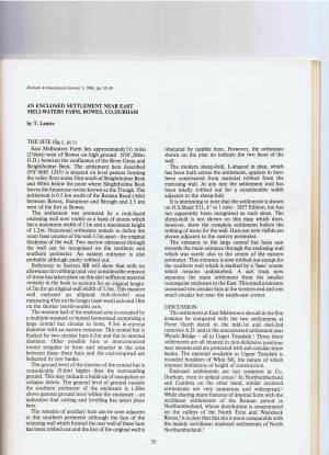 |
| Image 23 ID | 4620 |
| Image 23 Description | Survey Plan |  |
| Image 24 ID | 4623 |
| Image 24 Description | | 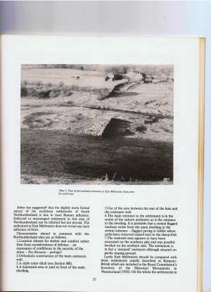 |
| Image 25 ID | 4624 |
| Image 25 Description | |  |
| Image 26 ID | 4625 |
| Image 26 Description | | 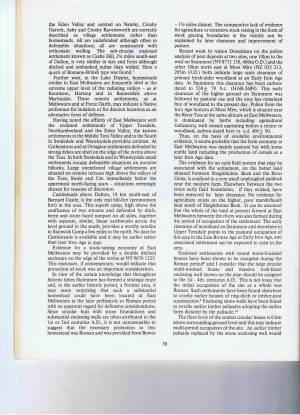 |
| Image 27 ID | 4626 |
| Image 27 Description | |  |