|
| *****SWAAG_ID***** | 742 |
| Date Entered | 24/07/2013 |
| Updated on | 27/07/2013 |
| Recorded by | Tim Laurie |
| Category | Burnt Mound |
| Record Type | Archaeology |
| SWAAG Site Name | |
| Site Type | |
| Site Name | |
| Site Description | |
| Site Access | Public Access Land |
| Location | Whitrow Farm |
| Civil Parish | Burton cum Walden |
| Brit. National Grid | SE 01821 88581 |
| Altitude | 1164ft |
| Geology | Glacial till over 3yard limestone. Bank of stream. |
| Record Name | Walden. Whitrow Farm. Three burnt mounds Sites 1-3 and round house settlement below Dove Scar |
| Record Description | Site 1 is a very large burnt mound on west bank of stream. This site is the central of a group of three burnt mounds recorded on the Dale Pastures above Whitrow Farm.
Sites 2 and 3 are each large burnt mounds at springs further upslope, at SE 01823 88581,380m elevation and at SE01821 88581, 380m elevation respectively.
These three burnt mounds and the round house settlement below Dove Scar are ,together with the round house settlement recently recorded below Crag Rea above Walden Head on the SWAAG Database,good examples of Later Prehistoric seasonal, pastoral settlement at springs on the Pennine Fringe. |
| Dimensions | 15m*10m*1.2m high (Site 1) other sites slightly smaller. |
| Geographical area | |
| Species | |
| Scientific Name | |
| Common / Notable Species | |
| Tree and / or Stem Girth | |
| Tree: Position / Form / Status | |
| Tree Site ID | 0 |
| Associated Site SWAAG ID | 0 |
| Additional Notes | Hut circle and enclosures below Dove Scar some 400m to the west of Site 2. |
| Image 1 ID | 4585 Click image to enlarge |
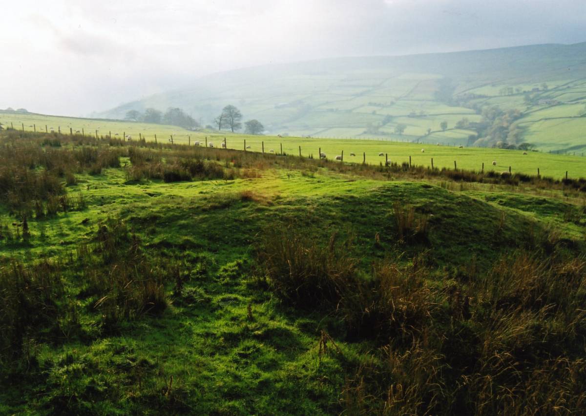
| Image 1 Description | Walden. Whitrow Farm Burnt Mound Site 1. One of three burnt mounds in the pastures above Whitrow Farm | 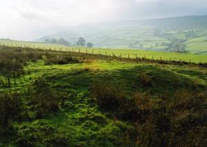 |
| Image 2 ID | 4586 Click image to enlarge |
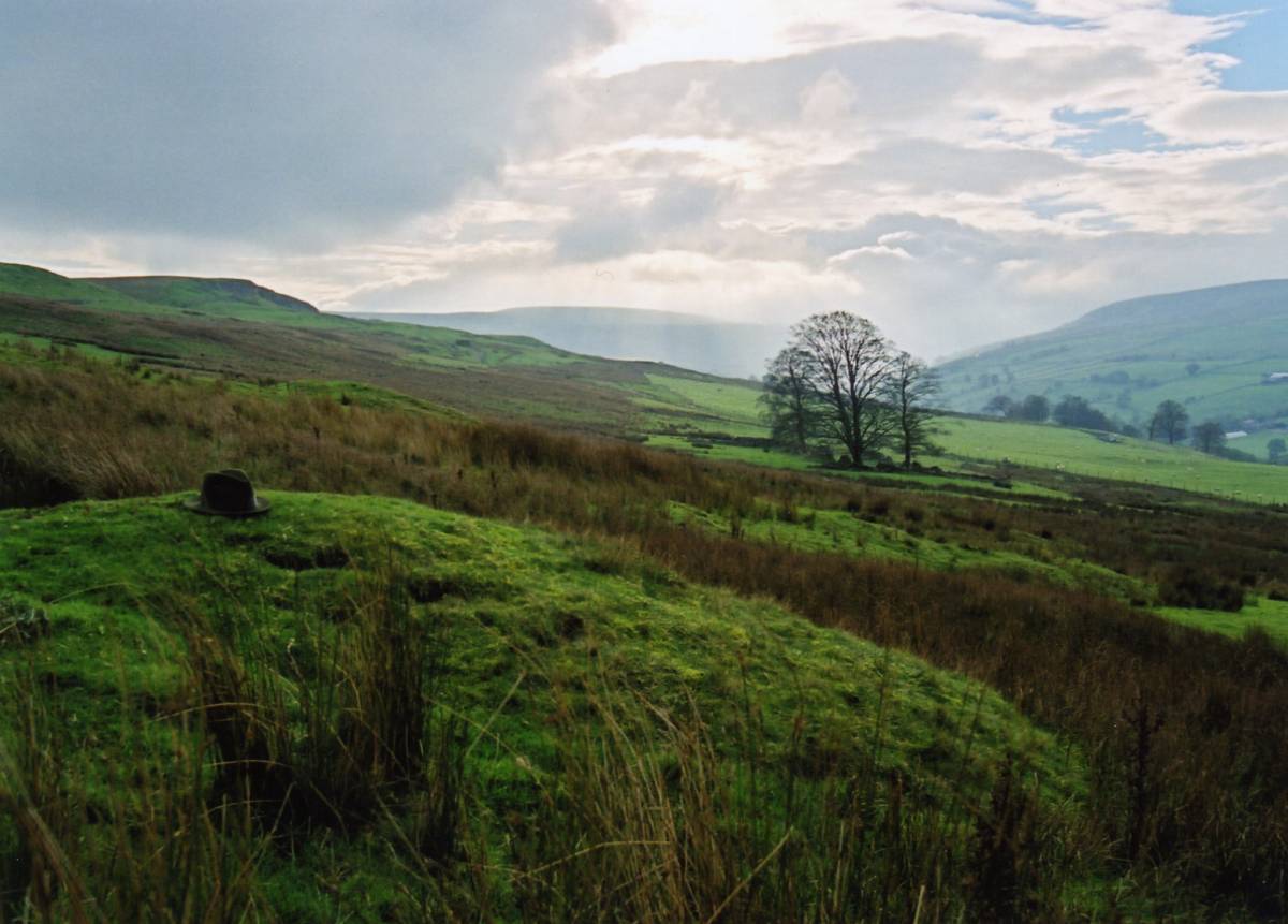
| Image 2 Description | Walden. Whitrow Farm Burnt Mound Site 1 as viewed from the north towards West Burton. Lowest and central of open group of three burnt mounds in the pastures above Whitrow Farm. | 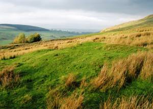 |
| Image 3 ID | 4587 Click image to enlarge |
| Image 3 Description | Walden. Whitrow Farm Burnt Mound Site 2. Northern of three burnt mounds in the pastures above Whitrow Farm. | 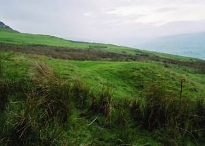 |
| Image 4 ID | 4588 Click image to enlarge |
| Image 4 Description | Walden. Whitrow Farm 3. Southern of the three burnt mounds at separate spring streams above Whitrow Farm |  |
| Image 5 ID | 4589 Click image to enlarge |
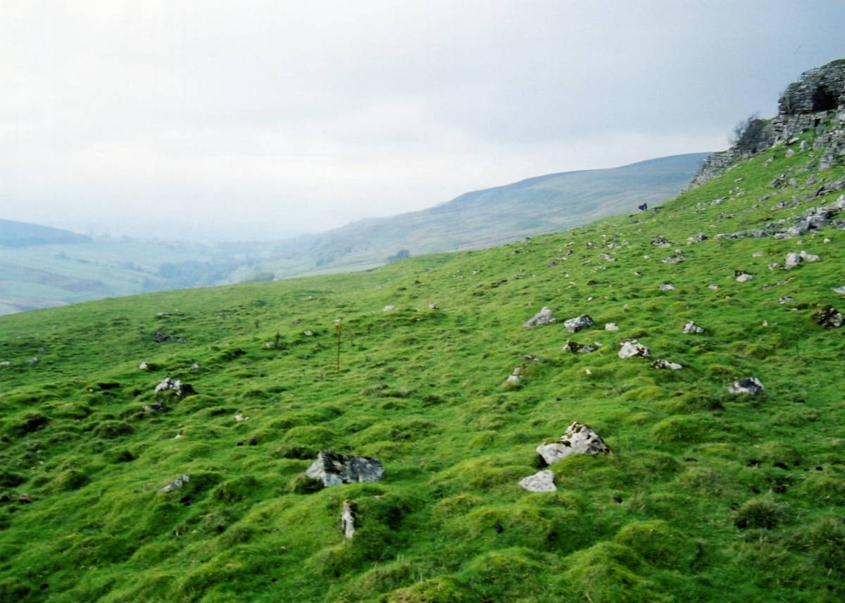
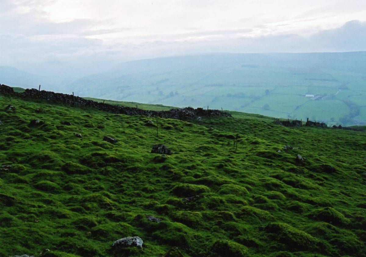
| Image 5 Description | Walden. Dove Scar. Round house settlement on kame terrace below Dove Scar. This settlement extends southward beyond the Dry Stone wall which crosses the terrace. | 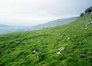 |
| Image 6 ID | 4590 Click image to enlarge |
| Image 6 Description | Walden. Dove Scar. Round house settlement on kame terrace below Dove Scar. This settlement extends southward beyond the Dry Stone wall which crosses the terrace. | 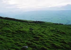 |