|
| *****SWAAG_ID***** | 744 |
| Date Entered | 15/08/2013 |
| Updated on | 15/08/2013 |
| Recorded by | Tim Laurie |
| Category | Mining Related |
| Record Type | Mining |
| SWAAG Site Name | |
| Site Type | |
| Site Name | |
| Site Description | |
| Site Access | Public Access Land |
| Record Date | 11/08/2013 |
| Location | Nine Standards. Rollinson Gill Head |
| Civil Parish | Muker |
| Brit. National Grid | NY 822 057 |
| Altitude | 636m |
| Geology | Upper Carboniferous, Namurian (Pendleian)Strata at edge of the Pennine Escarpment. Mirk Fell Ganister (with coal) and Howgate Edge Grit. Overlain with eroded 2m deep blanket peat hag (up to 5m deep at Backstone Beck Head). |
| Record Name | The Rollinson Gill Colliery which at 620-635m elevation is probably the highest Colliery in Britain! |
| Record Description | Shaft mounds marking the site of the Rollinson Gill Colliery which are spaced at intervals close to Rollinson Gill from around 620m elevation up to the peat hags on the plateau at 637m. |
| Dimensions | See photos |
| Geographical area | |
| Species | |
| Scientific Name | |
| Common / Notable Species | |
| Tree and / or Stem Girth | |
| Tree: Position / Form / Status | |
| Tree Site ID | 0 |
| Associated Site SWAAG ID | 0 |
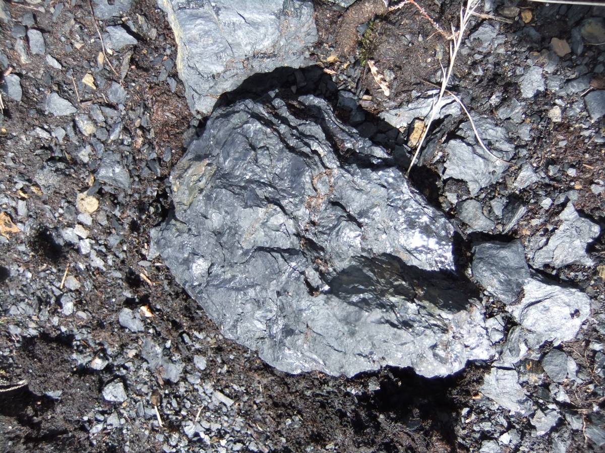
| Additional Notes | The shaft mounds are well vegetated except for the uppermost shaft which has eroded to reveal the shale and coal upcast composition of the mound.
The coal is very like shale, see photo image, and was probably only suitable for burning limestone in limekilns. A great number of coalpit shaft mounds are located on Great Edge above Nateby at 430m which is far below the Main Limestone on the Westmoreland side of the escarpment.
The track up to Rollinson Gill Head is a very well built cobbled roadway suitable for horse and cart. |
| Image 1 ID | 4627 Click image to enlarge |
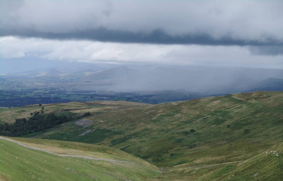
| Image 1 Description | View north-westward across the Vale of Eden to the Pennine Escarpment and Cross Fell from the coal road up to Rollinson Gill Head. | 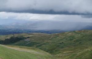 |
| Image 2 ID | 4628 Click image to enlarge |
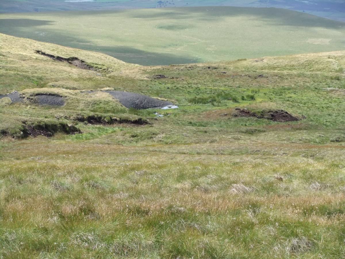
| Image 2 Description | Coal pit shaft at Rollinson Gill Head, 643m elevation. | 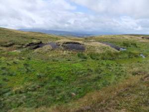 |
| Image 3 ID | 4633 Click image to enlarge |
| Image 3 Description | Coal pit shaft at Rollinson Gill Head, 643m elevation. | 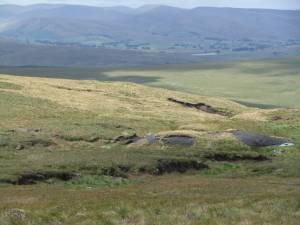 |
| Image 4 ID | 4629 Click image to enlarge |
| Image 4 Description | Coal fragment in the eroded shaft mound. |  |
| Image 5 ID | 4630 Click image to enlarge |
| Image 5 Description | Coal pit shaft and blanket peat. Dukerdale Head far below. | 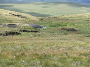 |
| Image 6 ID | 4631 Click image to enlarge |
| Image 6 Description | Coal pit shaft mound lower down Rollinson Gill. | 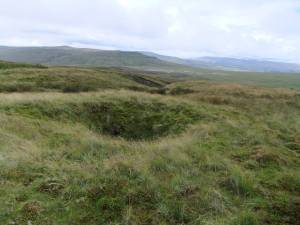 |
| Image 7 ID | 4632 Click image to enlarge |
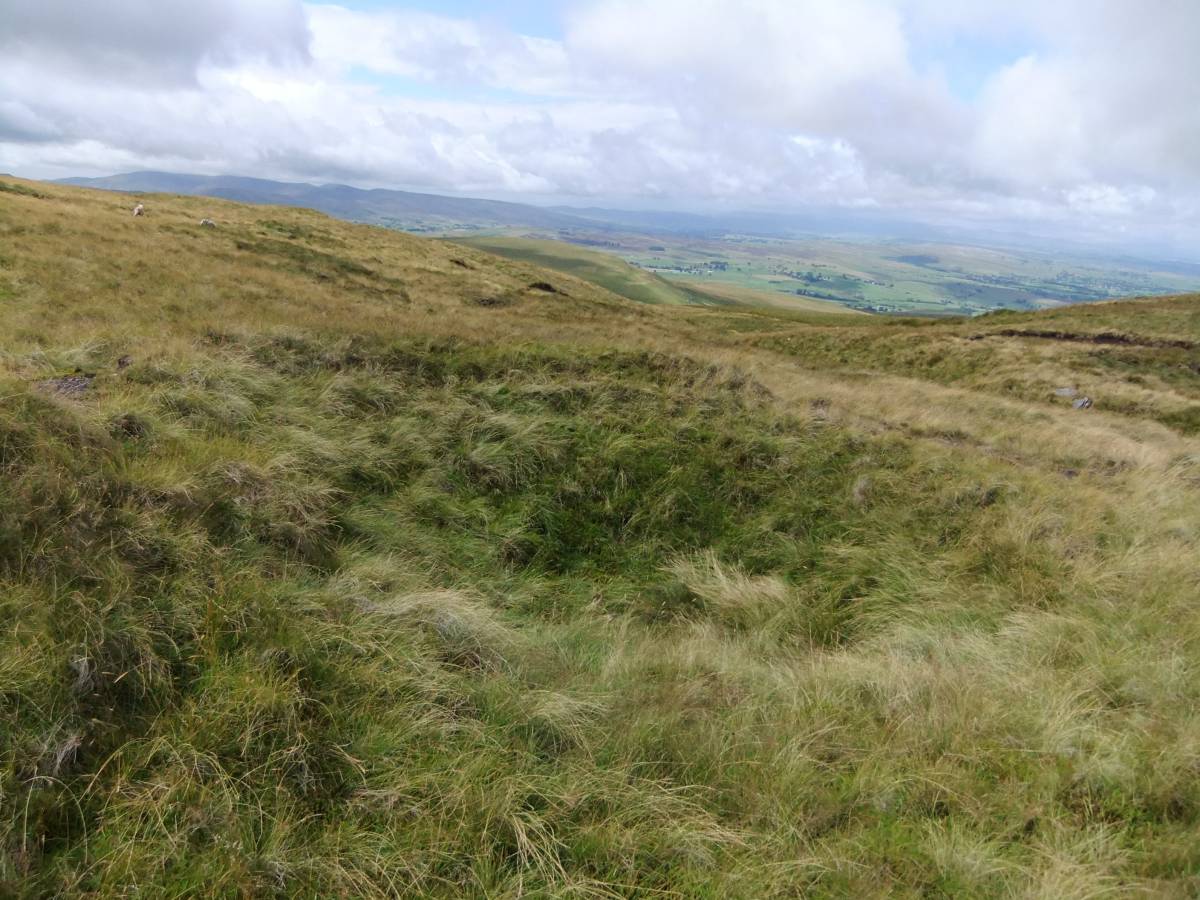
| Image 7 Description | Coal pit shaft mound at the top of Rollinson Gill. | 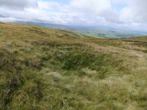 |
| Image 8 ID | 4633 Click image to enlarge |
| Image 8 Description | Coal pit shaft mound at the top of Rollinson Gill. View to the Howgill Fells. | |
| Image 9 ID | 4634 Click image to enlarge |
| Image 9 Description | View from the coal road towards Mallerstang Edge,Wild Boar Fell and down to the road from Keld to Nateby. | 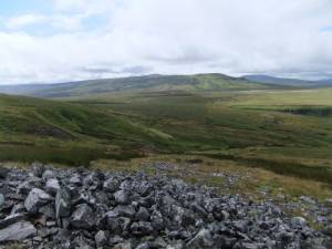 |
| Image 10 ID | 4635 Click image to enlarge |
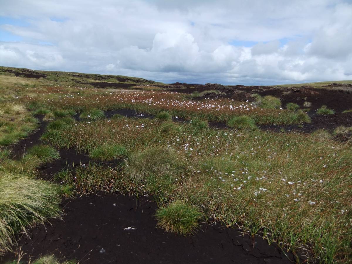
| Image 10 Description | Eroding peat hag with cotton grass at the head of Rollinson Gill. |  |