|
| *****SWAAG_ID***** | 408 |
| Date Entered | 29/12/2011 |
| Updated on | 29/12/2011 |
| Recorded by | Tim Laurie |
| Category | Tree Site Record |
| Record Type | Botanical HER |
| SWAAG Site Name | |
| Site Type | |
| Site Name | |
| Site Description | |
| Site Access | Public Footpath |
| Record Date | 29/12/2011 |
| Location | Western Slopes of the Round Howe |
| Civil Parish | Richmond |
| Brit. National Grid | NZ 1578 0070 |
| Altitude | 125m |
| Geology | Isolated hillslope and ice margin channel (The Round How). Strata below the Main Limestone. |
| Record Name | THe Round Howe. Mixed woodland with population of Large Leafed Lime Trees. |
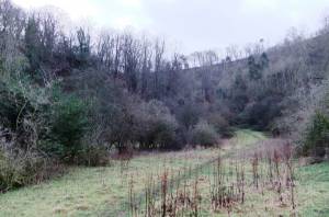
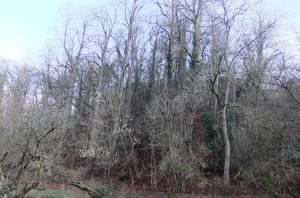
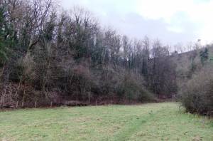
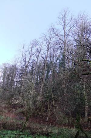
| Record Description | Large grove of mature Large Leafed Lime Trees (Tilia platyphyllos). (Provisional) Identification of these lime trees at Round Howe as Tilia platyphyllos is provisional and subject to confirmation.
At least 15 trees, all mature maiden trees probably of one age.
It is possible that these trees are a cloned native population, however it is also possible that these trees were planted.
Other trees present here and in relict hedgerows nearby include Pedunculate Oak, Beech, Holly, Ash, Bird Cherry, Blackthorn, Hawthorn Hazel,Elder, Sallow. |
| Dimensions | |
| Geographical area | Lower Swaledale |
| Species | Large Leafed Lime |
| Scientific Name | Tilia platyphyllos |
| Common / Notable Species | |
| Tree and / or Stem Girth | |
| Tree: Position / Form / Status | |
| Tree Site ID | 0 |
| Associated Site SWAAG ID | 0 |
| Additional Notes | Unlike the population of lime trees at Whitcliffe and at West Applegarth, where most of the Large Leafed Limes are coppiced, there are no coppiced trees here.
|
| Image 1 ID | 1840 Click image to enlarge |
| Image 1 Description | The Round Howe Woodland with Large Leafed Limes |  |
| Image 2 ID | 1841 Click image to enlarge |
| Image 2 Description | |  |
| Image 3 ID | 1842 Click image to enlarge |
| Image 3 Description | |  |
| Image 4 ID | 1843 Click image to enlarge |
| Image 4 Description | |  |


