|
| *****SWAAG_ID***** | 400 |
| Date Entered | 15/12/2011 |
| Updated on | 16/12/2011 |
| Recorded by | Tim Laurie |
| Category | Coaxial Field Systems |
| Record Type | Archaeology |
| SWAAG Site Name | |
| Site Type | |
| Site Name | |
| Site Description | |
| Site Access | Army Range |
| Record Date | 01/01/2005 |
| Location | Downholme Moor. Area above and south of Sidebank Wood and Whitescar up to and beyond the unfenced road from Downholme to Hudswell. |
| Civil Parish | Not known |
| Brit. National Grid | SE 1138 9815 |
| Altitude | 250m |
| Geology | Wide sloping terrace above Main Limestone and overlying Richmond Cherts with occasional springs and mineralised zone at the White Earth Mine.
The small quarry on the south side of the road (in plantation) is on an exposure of the Crow Limestone. |
| Record Name | Downholme Moor. Sidebank. Coaxial field system associated with homestead setllements of Late Prehistoric or Native Roman Character on Sidebank. |
| Record Description | Coaxial field system associated with open linear village type settlement (DOW100, SWAAG 399) comprising ten separate homesteads with stone founded round houses of late Iron Age or Romano British character (each componant feature of these settlements and the coaxial field system has been recorded separately (DOW01-18 and 33). The homesteads are spaced at intervals on the upper slopes of an elevated grassland terrace above the scarp and cliff (White Scar) formed by the outcrop of the Main Limestone. The homesteads are directly associated with this coaxial field system. The boundaries, which run across the terrace, abut or are tangential to the settlements.
A further homestead settlement (Site 33) is located above the unfenced road at SE1173 9875.
Wessex Archaeology Earthwork Survey dated August 2002.
Note! Wessex Survey was based on TCL Walkover Survey Maps, TCL01A,B, Schedule of Sites TCL01C and Site Plans TCL01. The Schedule of Sites, annotated Site Plans TCL01 and Sketched Reconstruction Drawing, EAL1 are provided to assist interpretation of the palimpsest of sites on Downholme Moor.
NOTE! The Wessex Earthwork Survey Maps, Site Plans and Schedule of Sites in their final form are the property of DE and copyright of Wessex Archaeology or NAA – in the ‘grey ‘literature, not readily available to the interested Public.
However, the Wessex Report and Survey is now entered on the YDNP HER and should be accessible.
See also TCL walkover survey map: Location of Sites. TCL Schedule of sites to be surveyed and EAL Sketch Reconstruction of settlements above Sidebank Wood. (From SE1138 9815 to SE1151 9943)
|
| Dimensions | |
| Geographical area | |
| Species | |
| Scientific Name | |
| Common / Notable Species | |
| Tree and / or Stem Girth | |
| Tree: Position / Form / Status | |
| Tree Site ID | 0 |
| Associated Site SWAAG ID | 0 |
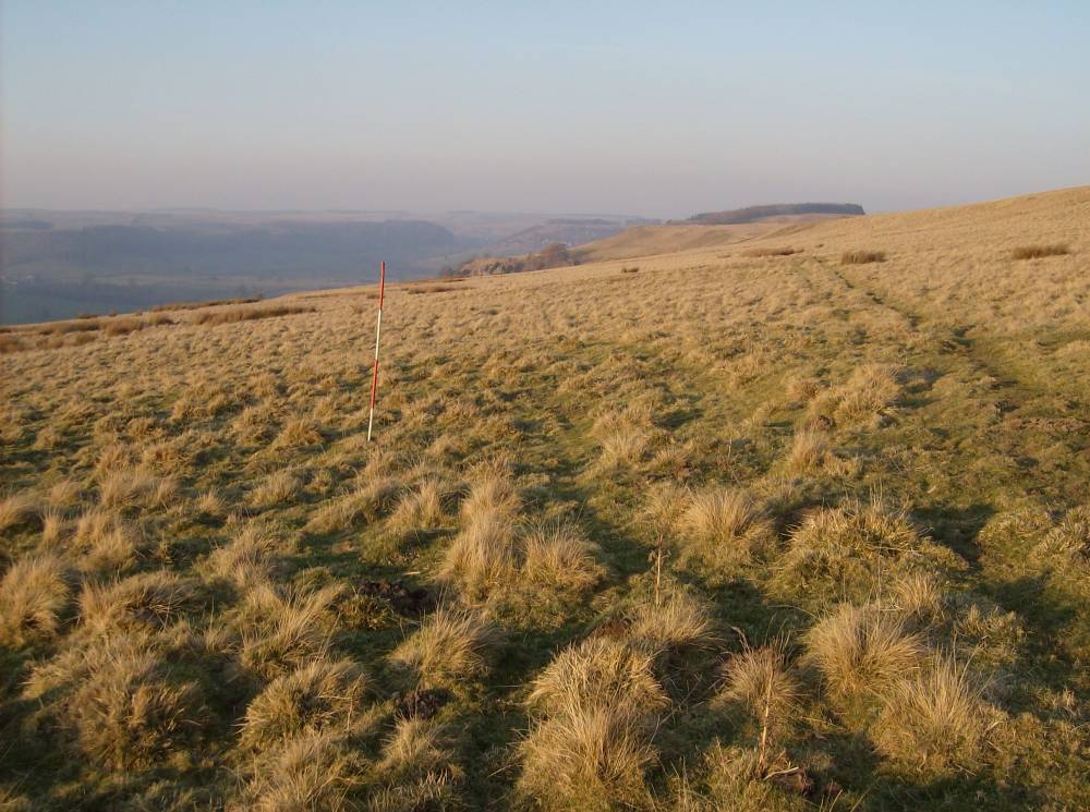
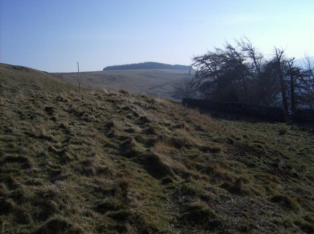
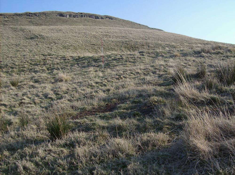
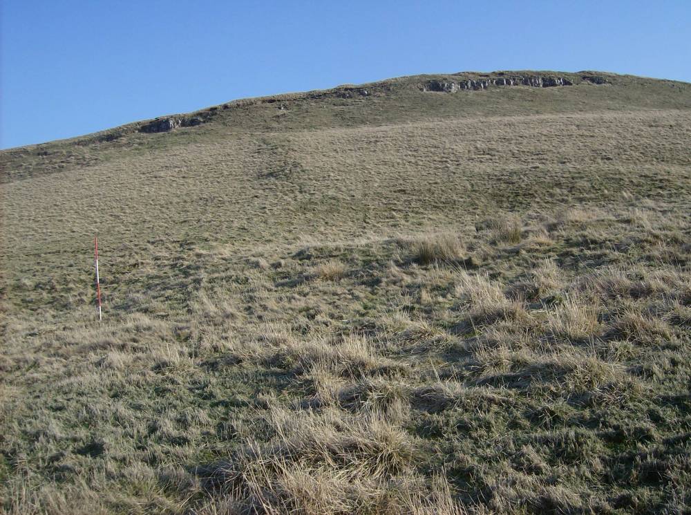
| Additional Notes | NOTE all the archaeological settlement features and low field banks are under turf and are difficult to photograph. They are however relatively easy, to the practised eye, to recognise on the ground in winter when the herbage is low.
All the features are reasonably well preserved although some disturbance is evident.
This record is concerned solely with the slight stone banked field system and scooped platform settlements of Late Prehistoric or Native Roman character.
The medieval or post medieval bank and ditched field system on Downholme Moor,is recorded seperately.
|
| Image 1 ID | 1735 Click image to enlarge |
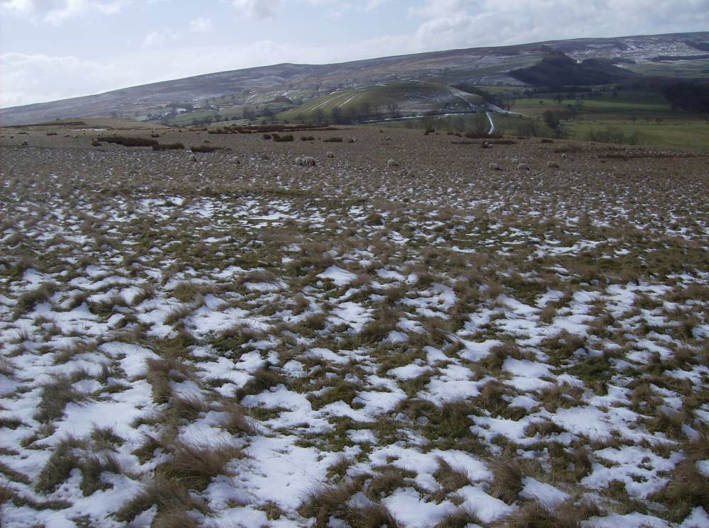
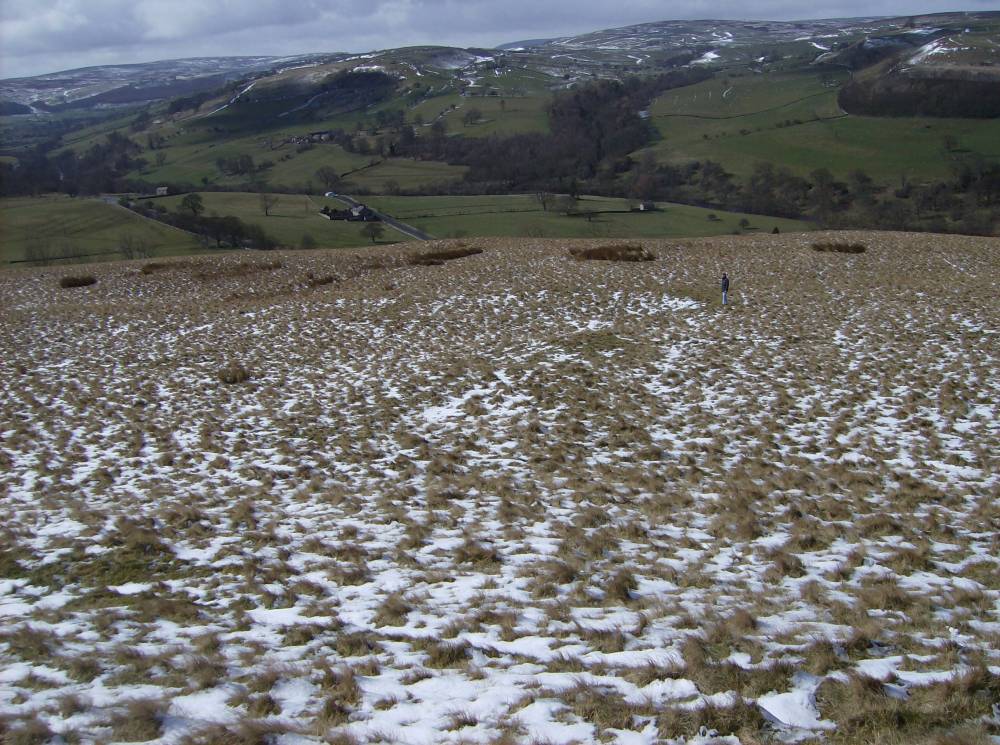
| Image 1 Description | Sidebank above White Scar in snow. The settlements recorded here are above White Scar. | 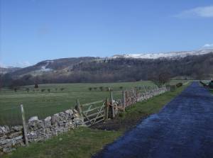 |
| Image 2 ID | 1733 Click image to enlarge |
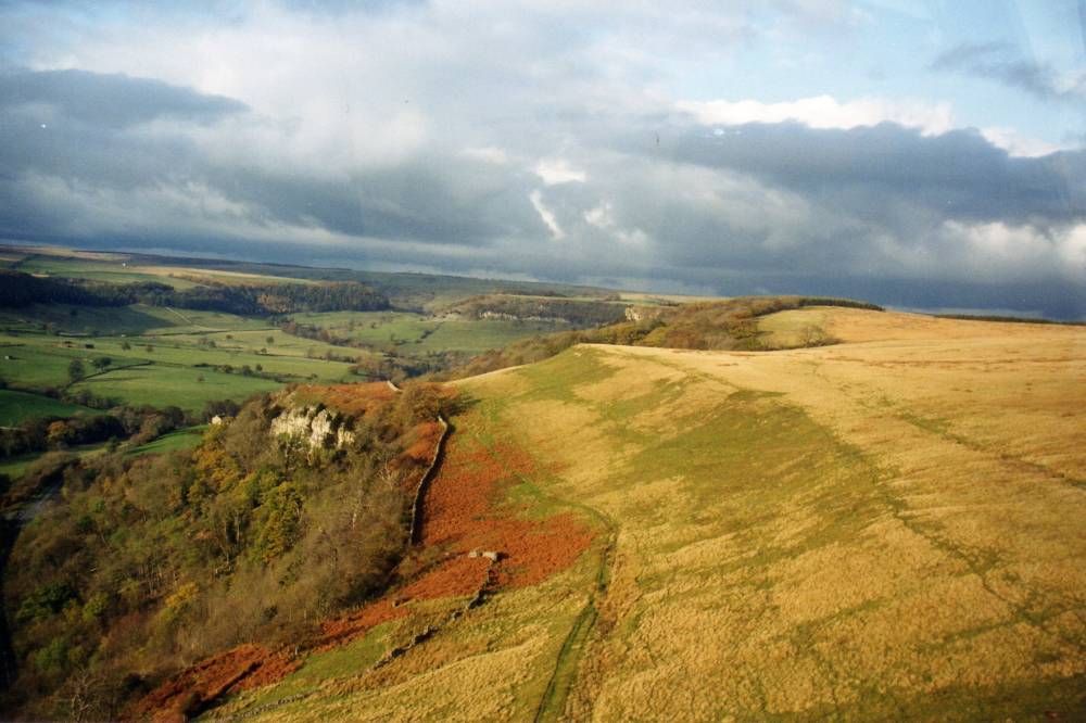
| Image 2 Description | Side bank, northern section fom the air (AP Robert Shopland Reed of Defence Estates). | 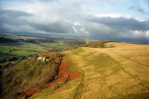 |
| Image 3 ID | 1717 Click image to enlarge |
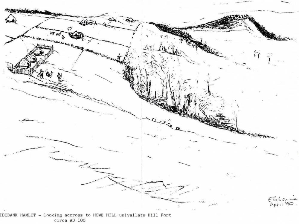
| Image 3 Description | Sidebank circa 100 BC. Reconstruction of the open settlement and field system of Late Prehistoric Character. Defended settlement on How Hill in distance. | 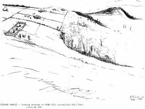 |
| Image 4 ID | 1737 Click image to enlarge |
| Image 4 Description | Settlements are very difficult to photograph except under low powder snow cover. |  |
| Image 5 ID | 1739 Click image to enlarge |
| Image 5 Description | Settlement and field boundary in light snow. How Hill in distance. | 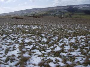 |
| Image 6 ID | 1740 Click image to enlarge |
| Image 6 Description | |  |
| Image 7 ID | 1741 Click image to enlarge |
| Image 7 Description | | 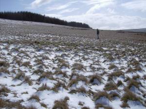 |
| Image 8 ID | 1744 Click image to enlarge |
| Image 8 Description | House Platform No 17 and view westward towards Downholme | 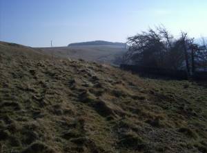 |
| Image 9 ID | 1743 Click image to enlarge |
| Image 9 Description | Platform Settlement No 18 and field boundary below the Crow Limestone. |  |
| Image 10 ID | 1742 Click image to enlarge |
| Image 10 Description | Platform Settlement No 18 and field boundary below the Crow Limestone. |  |