|
| *****SWAAG_ID***** | 412 |
| Date Entered | 04/01/2012 |
| Updated on | 05/01/2012 |
| Recorded by | Tim Laurie |
| Category | Tree Site Record |
| Record Type | Botanical HER |
| SWAAG Site Name | |
| Site Type | |
| Site Name | |
| Site Description | |
| Site Access | Public Access Land |
| Record Date | 02/08/2010 |
| Location | Newsham High Moor |
| Civil Parish | Newsham |
| Brit. National Grid | NZ 053 060 |
| Altitude | 350m |
| Geology | Stream cut dry valley. The Main Limestone, which supports a varied woodland flora in contrast to that of the overlying Richmond Chert Strata on the Arndale Sheepfold Scar (see Record 1411) is exposed in the stream bed and as low cliffs by the stream. |
| Record Name | Arndale Beck Lower Ravine. Wych elm dominant woodland. |
| Record Description | Small ravine at the bottom of Arndale Gill just 400m above the confluence of Arndale Beck with Kexwith Beck at Arndale Hole. This stream bed is dry except during flood. |
| Dimensions | See photos |
| Geographical area | Swaledale North Bank Catchment |
| Species | Wych elm, yew. |
| Scientific Name | |
| Common / Notable Species | Yew (Single young yew at uppermost of these streamside scars), wych elm, hazel, rowan, blackthorn, hawthorn. |
| Tree and / or Stem Girth | |
| Tree: Position / Form / Status | |
| Tree Site ID | 0 |
| Associated Site SWAAG ID | 0 |
| Additional Notes | |
| Image 1 ID | 1919 Click image to enlarge |
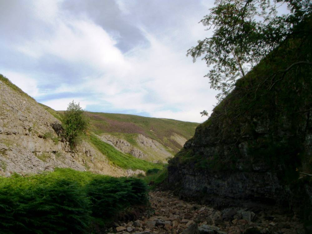
| Image 1 Description | Arngill, viewed from Arngill Hole upstream towards the Sheepfold Scar. | 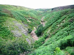 |
| Image 2 ID | 1920 Click image to enlarge |
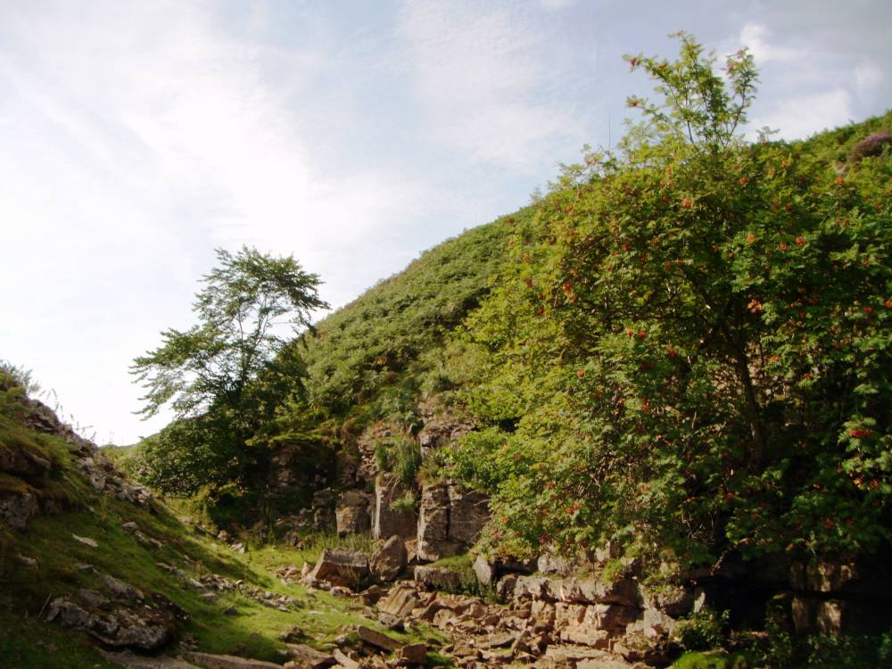
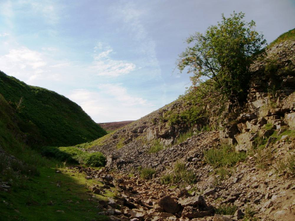
| Image 2 Description | Arngill, the Lower Ravine with rowan and wych elm | 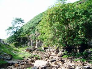 |
| Image 3 ID | 1921 Click image to enlarge |
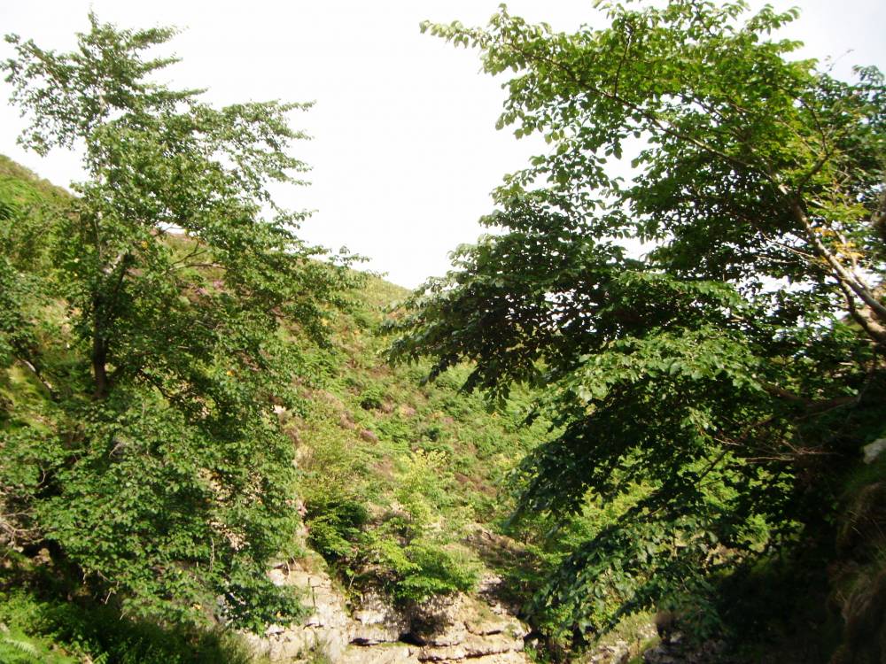
| Image 3 Description | Ditto, from above. | 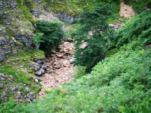 |
| Image 4 ID | 1922 Click image to enlarge |
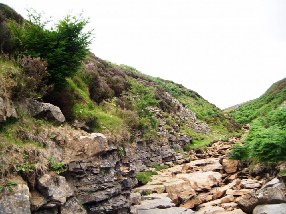
| Image 4 Description | Arngill. The dry stream bed with rowan and wych elm. |  |
| Image 5 ID | 1923 Click image to enlarge |
| Image 5 Description | Wych elms, a refuge remote from Dutch Elm disease. |  |
| Image 6 ID | 1924 Click image to enlarge |
| Image 6 Description | Arngill with hazel and wych elm. | 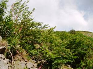 |
| Image 7 ID | 1925 Click image to enlarge |
| Image 7 Description | Rowan, hazel and wych elm. | 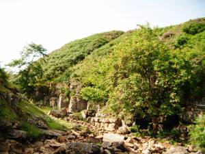 |
| Image 8 ID | 1926 Click image to enlarge |
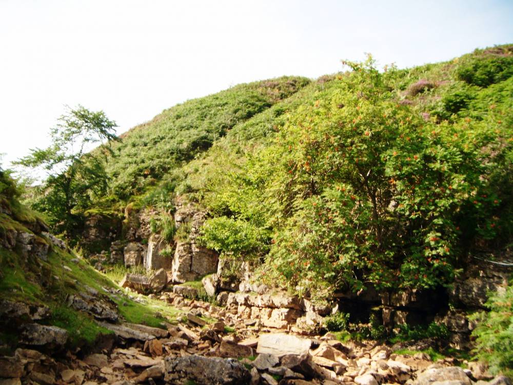
| Image 8 Description | Arngill. View downstream towards Kexwith Beck and Arndale Hole. |  |
| Image 9 ID | 1927 Click image to enlarge |
| Image 9 Description | Arngill. View upstream with ancient rowan. |  |
| Image 10 ID | 1928 Click image to enlarge |
| Image 10 Description | Ancient rowan with rose sp. | 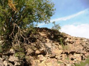 |
| Image 11 ID | 1929 |
| Image 11 Description | Blackthorn on the scar above the stream. | 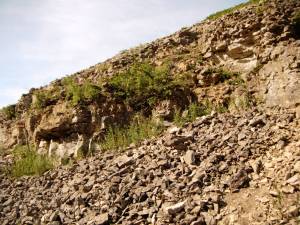 |
| Image 12 ID | 1930 |
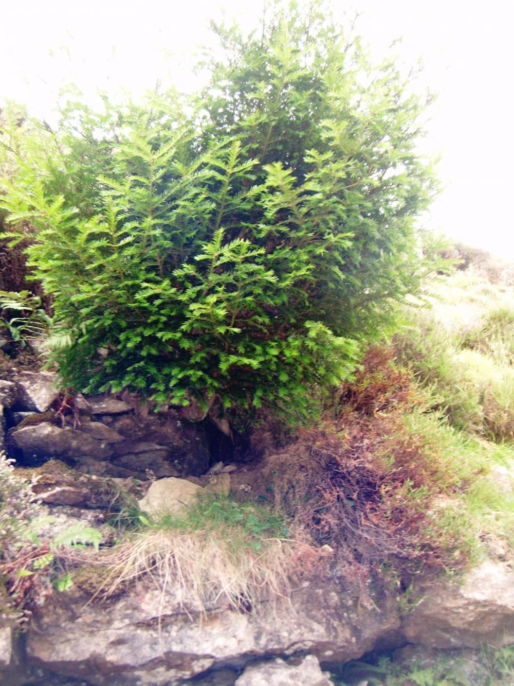
| Image 12 Description | Debris from flooding. Wych elm. | 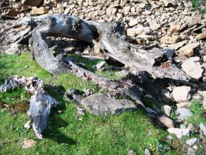 |
| Image 13 ID | 1931 |
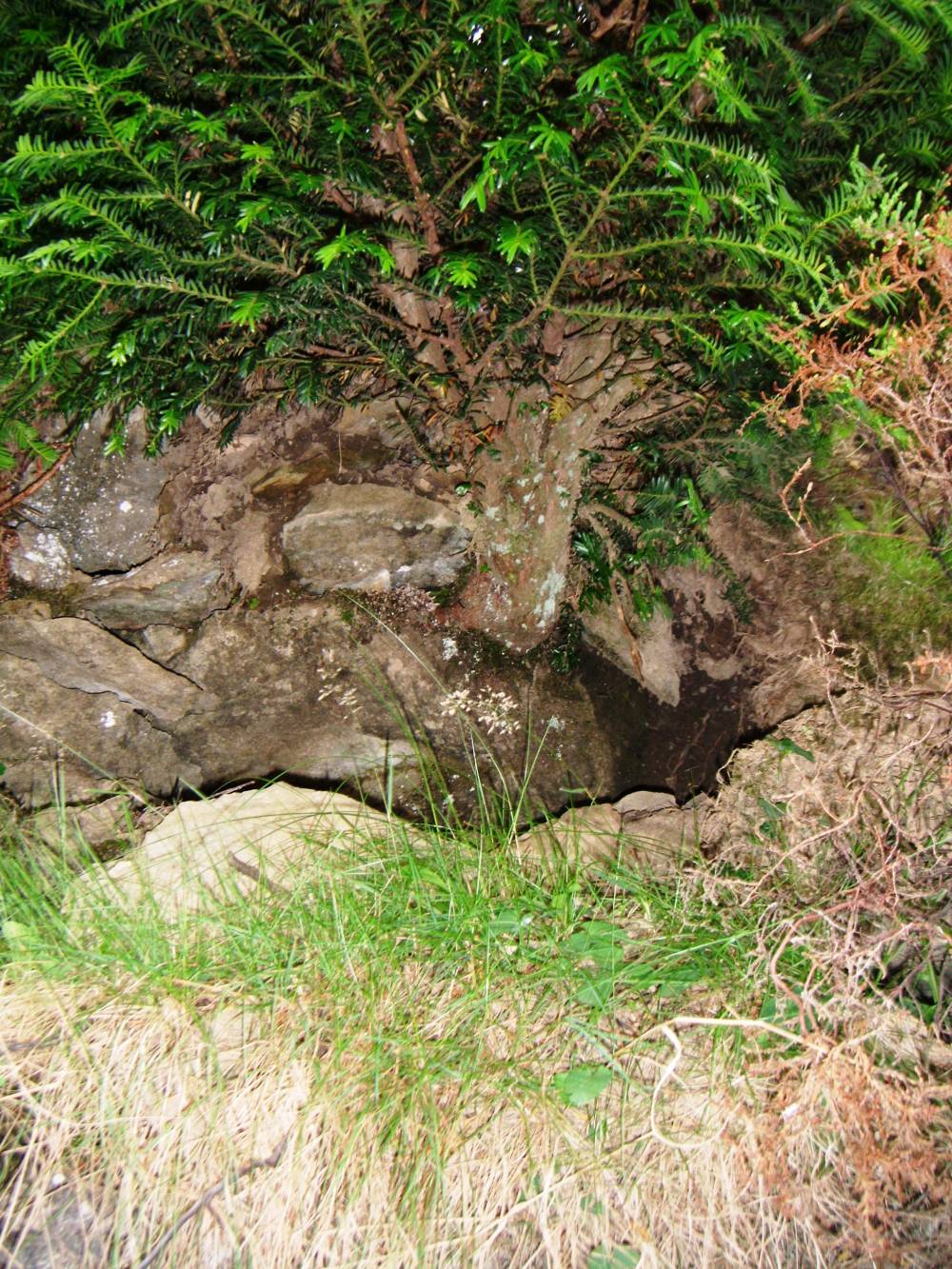
| Image 13 Description | Small isolated yew on outcrop of chert strata higher upstream. This young yew illustrates that recent regeneration is possible. | 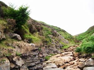 |
| Image 14 ID | 1932 |
| Image 14 Description | Isolated small yew on outcrop of chert strata higher upstream. |  |
| Image 15 ID | 1933 |
| Image 15 Description | Isolated small yew on outcrop of chert strata higher upstream. Detail. |  |