|
| *****SWAAG_ID***** | 402 |
| Date Entered | 19/12/2011 |
| Updated on | 31/01/2012 |
| Recorded by | Tim Laurie |
| Category | Tree Site Record |
| Record Type | Botanical HER |
| SWAAG Site Name | |
| Site Type | |
| Site Name | |
| Site Description | |
| Site Access | Public Access Land |
| Record Date | 12/12/2011 |
| Location | Hudswell CP. Hag Wood and Under Bank Wood |
| Civil Parish | Not known |
| Brit. National Grid | NZ 1361 0102 |
| Altitude | 220m |
| Geology | Sheer north facing cliff formed from the Main Limestone,with Richmond chert strata over and talus slope below. |
| Record Name | Hudswell CP. Hag Wood and Under Bank Wood. Relict woodland on North Facing Limestone Cliff |
| Record Description | Species poor relict limestone woodland with yew dominant at top edge of sheer north facing limestone cliff. Cold ashwood with self seeded secondary sycamore on talus slope below. Some wych elm, elder also present, hazel and rose very scarce on and below the cliff. Hazel coppice on till at west end of the cliff.
Pednculate oak woodland with holly understory on chert strata above the limestone. Planted beech the most prominent of the mature trees at western end of the cliff.
Ancient holly dominated hedgerow at top edge of the wood. (From NZ13610102 westward to NZ13441 00945) |
| Dimensions | |
| Geographical area | Lower Swaledale |
| Species | |
| Scientific Name | |
| Common / Notable Species | |
| Tree and / or Stem Girth | |
| Tree: Position / Form / Status | |
| Tree Site ID | 0 |
| Associated Site SWAAG ID | 0 |
| Additional Notes | It is noticable that the relict woodland on the face and top edge of this north facing cliff is species poor compared to the species rich woodland on the cliffs on the opposite, south and south westerly facing side of Swaledale (at Whitcliffe Scar). Hazel,Rowan and Rose sppp are absent, elder is present but squiffy. The cold ashwood below the cliff is equally species poor with ash and sycamore dominant but with a very few old wych elms and just one coppiced large leafed lime surviving. see photos.
Polypody and Harts Tongue ferns flourish in the scree. The only flowering plants noted are Dogs Mercury, Herb Robert and nettles. |
| Image 1 ID | 1760 Click image to enlarge |
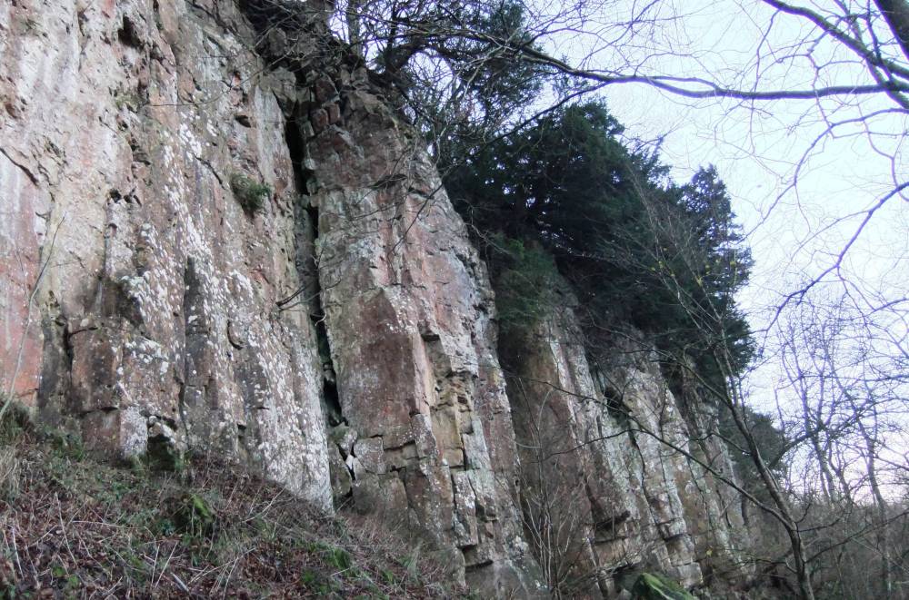
| Image 1 Description | Under bank Scar with yew dominant. |  |
| Image 2 ID | 1761 Click image to enlarge |
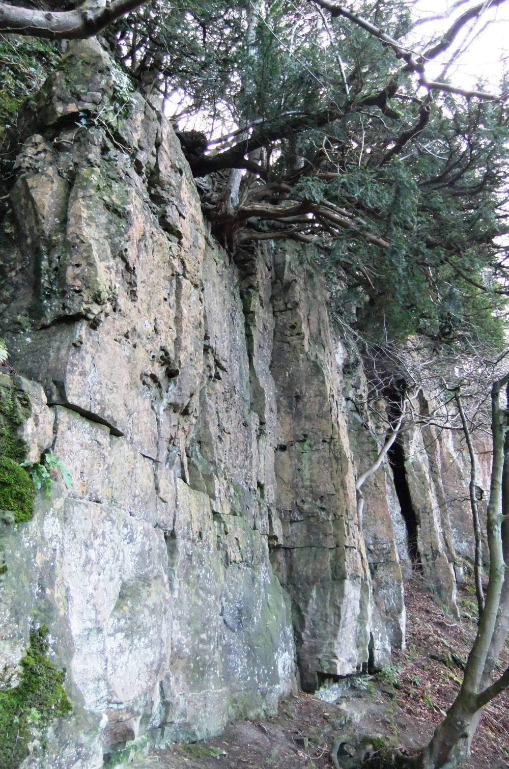
| Image 2 Description | Under bank Scar with yew | 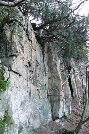 |
| Image 3 ID | 1762 Click image to enlarge |
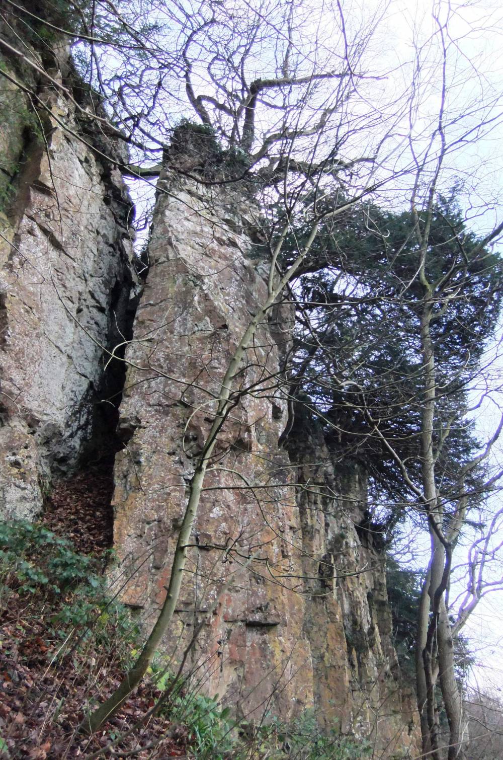
| Image 3 Description | Under bank Scar with beech attop edge of cliff. Note the destabilizing effects on the rock strata of the tree roots immediately below this large beech. |  |
| Image 4 ID | 1763 Click image to enlarge |
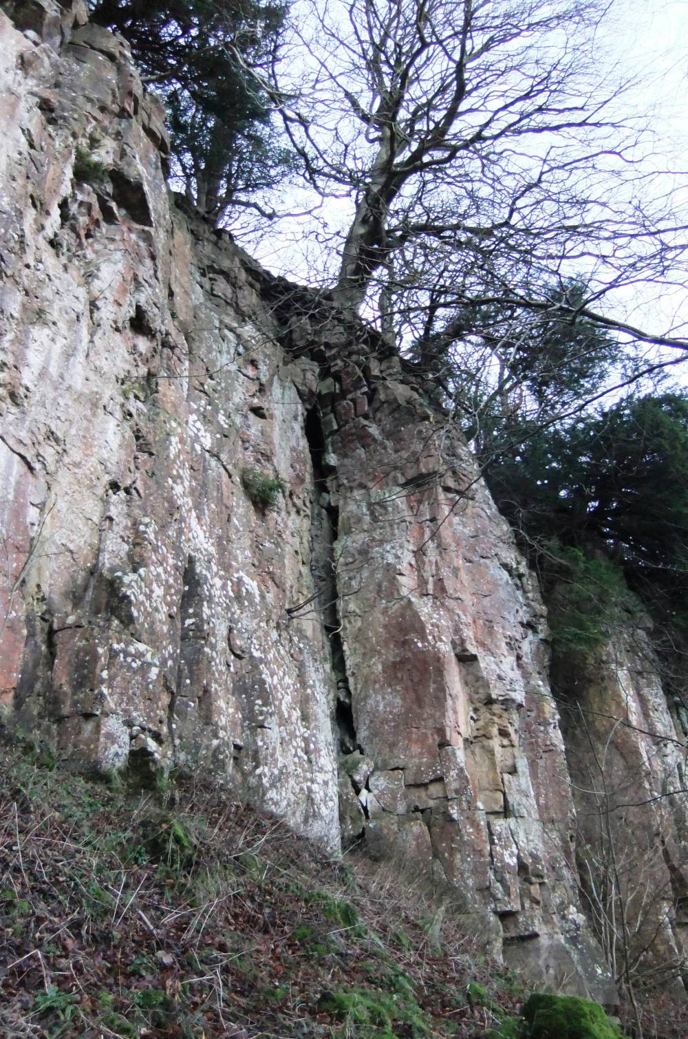
| Image 4 Description | Under bank Scar. Isolated stack of limestone with wych elm established at the top. | 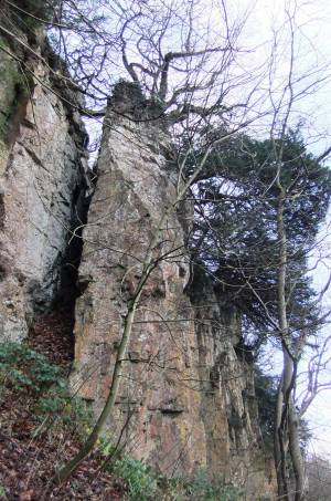 |
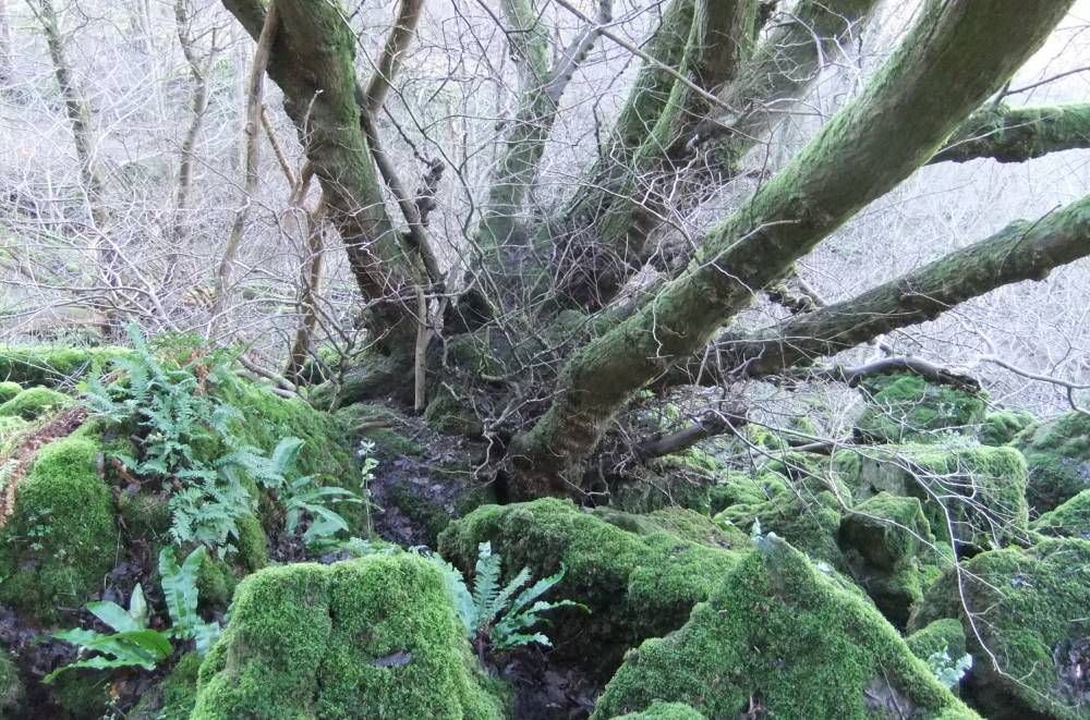
| Image 5 ID | 1764 Click image to enlarge |
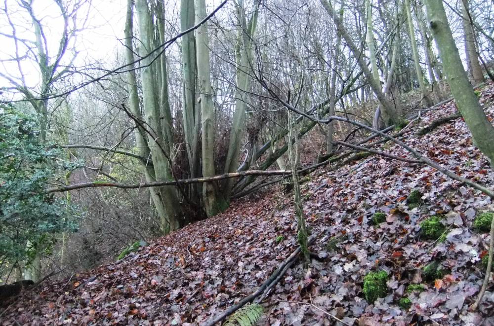
| Image 5 Description | Wych elm, an ancient 4m girth self coppiced tree growing in scree with polypody and harts-tongue ferns. | 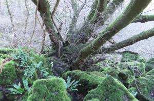 |
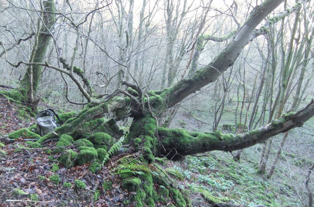
| Image 6 ID | 1765 Click image to enlarge |
| Image 6 Description | Wych elm, dead and fragmented, 5m girth, ancient self coppiced tree growing in scree with polypody and harts-tongue | 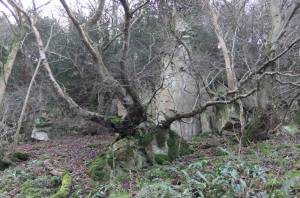 |
| Image 7 ID | 1766 Click image to enlarge |
| Image 7 Description | AS last from above |  |
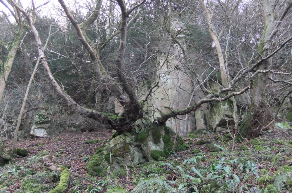
| Image 8 ID | 1767 Click image to enlarge |
| Image 8 Description | Yews like this are dominant at the top edge of the cliff. | 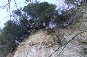 |
| Image 9 ID | 1768 Click image to enlarge |
| Image 9 Description | Detail of the exposed and convoluted root system of this ancient yew. | 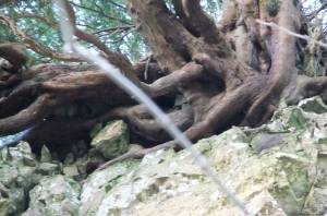 |
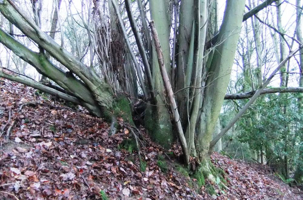
| Image 10 ID | 1769 Click image to enlarge |
| Image 10 Description | Isolated large leafed lime coppiced tree, Tilia platyphyllos considered native in Swaledale, is at the extreme northern limit of this species., |  |
| Image 11 ID | 1770 |
| Image 11 Description | As last, one of just two lime coppiced recorded on the southern side of the Swale. | 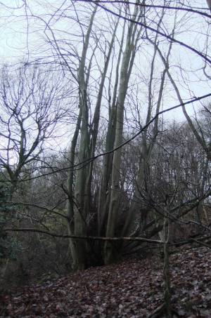 |
| Image 12 ID | 1771 |
| Image 12 Description | As last |  |
| Image 13 ID | 1772 |
| Image 13 Description | As last, the coppice from below. | 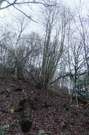 |