|
| *****SWAAG_ID***** | 407 |
| Date Entered | 28/12/2011 |
| Updated on | 30/12/2011 |
| Recorded by | Tim Laurie |
| Category | Tree Site Record |
| Record Type | Botanical HER |
| SWAAG Site Name | |
| Site Type | |
| Site Name | |
| Site Description | |
| Site Access | Private |
| Record Date | 22/12/2011 |
| Location | Marske C.P. West Applegarth Woodland. Salmon Gill and Deepdale West. |
| Civil Parish | Marske |
| Brit. National Grid | NZ 1275 0224 |
| Altitude | 285 |
| Geology | Cliffs and talus slopes formed from outcropping Richmond Cherts. |
| Record Name | Marske C.P. West Applegarth SSSI Woodland. Deepdale West Side, Limestone Woodland with Yew and Large Leafed Lime. |
| Record Description | C.P. West Applegarth Woodland SSSI. Eastward from Salmon Gill Springs and Deepdale West Side.Species rich limestone woodland on east facing outcrops of Richmond Chert with talus slopes below. A single large leafed lime tree has been identified at NZ1270901921,265m and there may be at least one further tree of this species present.
Yews are the dominant tree of the woodland on the sheer cliffs, with a fringe of pedunculate oak at the topmost edge. Other tree species include ash (dominant in the woodland below the cliffs), hazel, elder.
Vegetation not yet recorded. |
| Dimensions | |
| Geographical area | Lower Swaledale |
| Species | Yew. Large Leafed Lime. Pedunculate oak. |
| Scientific Name | |
| Common / Notable Species | Ash, Wych Elm, Elder, Hazel, Hawthorn, Bird Cherry. |
| Tree and / or Stem Girth | |
| Tree: Position / Form / Status | |
| Tree Site ID | 0 |
| Associated Site SWAAG ID | 0 |
| Additional Notes | The writer is indebted to Mr Harker for access to Deepdale and Salmon Gill and for permission to record the woodland and trees. |
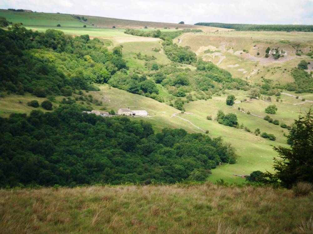
| Image 1 ID | 1826 Click image to enlarge |
| Image 1 Description | Salmon Gill and Deepdale from Red Scar, Downholme. | 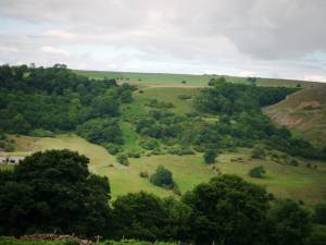 |
| Image 2 ID | 1827 Click image to enlarge |
| Image 2 Description | Deepdale from Red Scar, Downholme. | 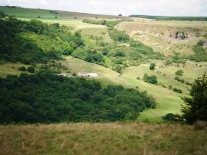 |
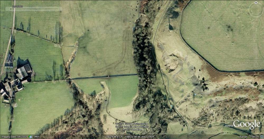
| Image 3 ID | 1828 Click image to enlarge |
| Image 3 Description | Salmon Gill and Deepdale. Google Earth, Historical Imagery. |  |
| Image 4 ID | 1829 Click image to enlarge |
| Image 4 Description | Oak, Yew and Large Leafed Lime at top of cliff. | 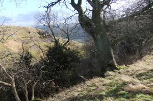 |
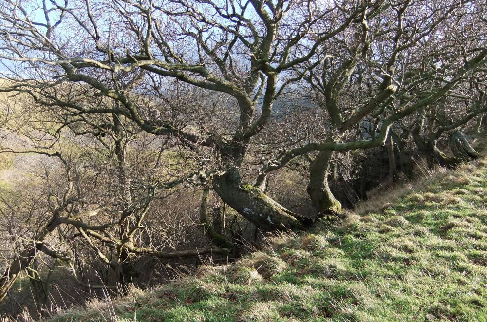
| Image 5 ID | 1830 Click image to enlarge |
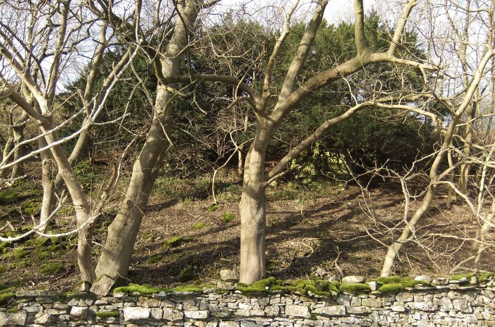
| Image 5 Description | Oak in old hedgerpw at top of the wood. | 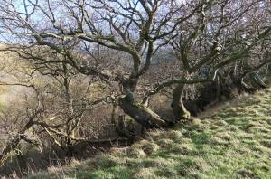 |
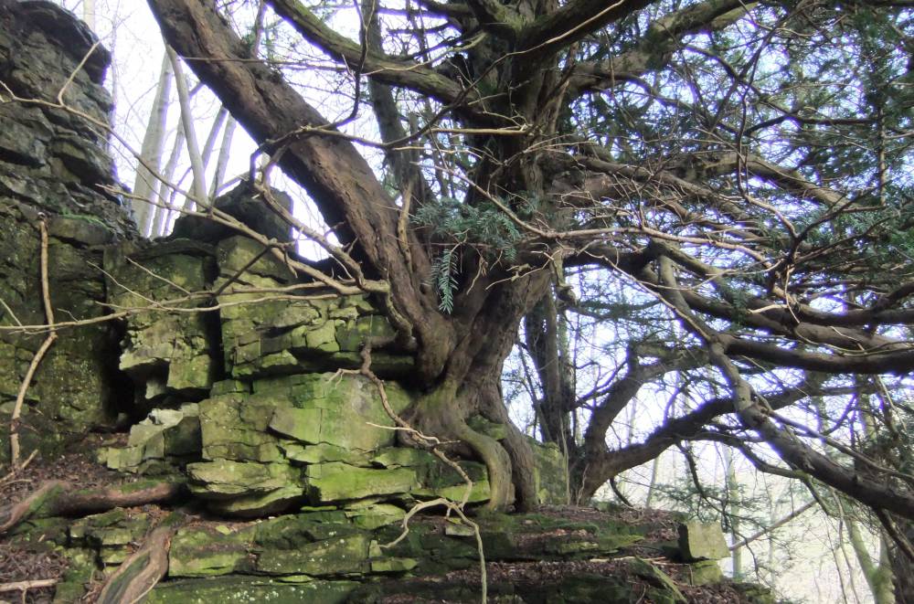
| Image 6 ID | 1831 Click image to enlarge |
| Image 6 Description | Yew with fallen wych Elm, western end of Deepdale near Salmon Gill | 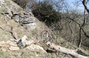 |
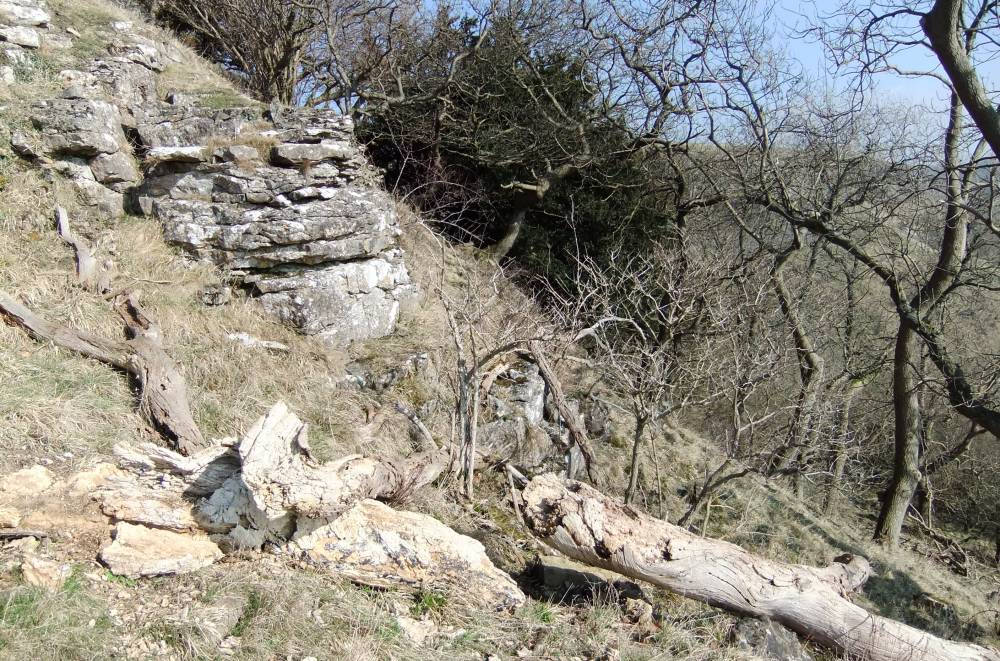
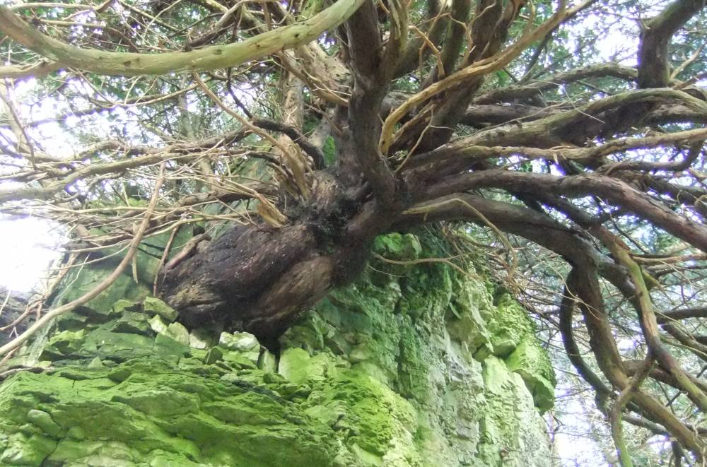
| Image 7 ID | 1832 Click image to enlarge |
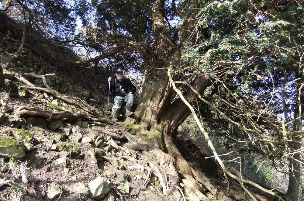
| Image 7 Description | Yew with N.M.This is one of the largest yews which are on the talus slope. The largest yews grow directly on the face of cliffs as a rule. | 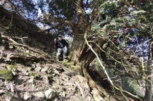 |
| Image 8 ID | 1833 Click image to enlarge |
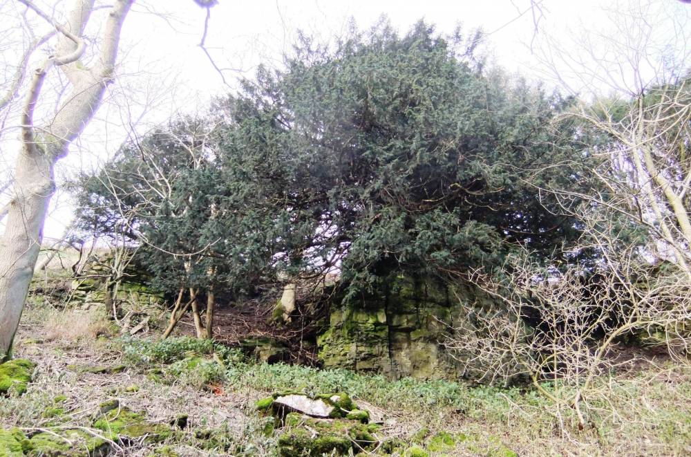
| Image 8 Description | Yews on outcrops of Richmond Chert at top of Deepdale from the roadside. |  |
| Image 9 ID | 1834 Click image to enlarge |
| Image 9 Description | Yews on outcrop west of the road to High Applegarth. | 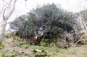 |
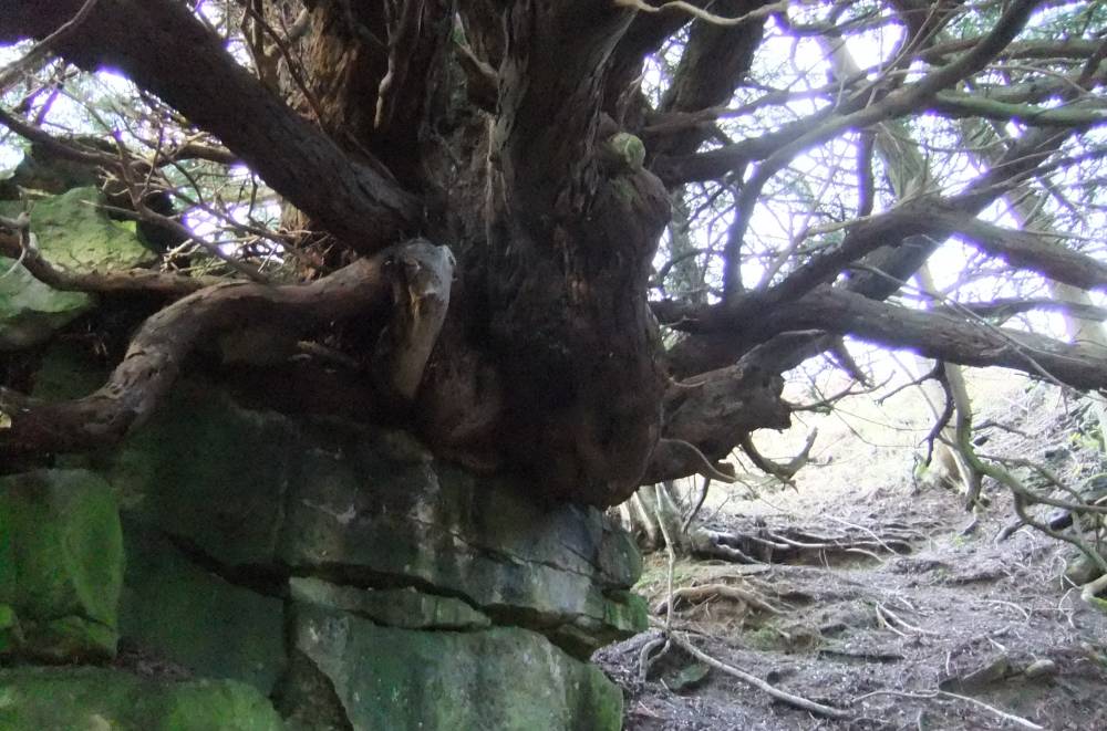
| Image 10 ID | 1835 Click image to enlarge |
| Image 10 Description | Yew No 1 on outcrop of chert, west of the road to High Applegarth. |  |
| Image 11 ID | 1836 |
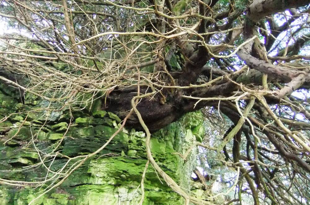
| Image 11 Description | YewNo 1 on outcrop west of the road to High Applegarth. | 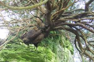 |
| Image 12 ID | 1837 |
| Image 12 Description | Yew No 2 on outcrop west of the road to High Applegarth. |  |
| Image 13 ID | 1838 |
| Image 13 Description | Yew No 3 on outcrop west of the road to High Applegarth. This ancient multistem yew measured 4.0m girth |  |
| Image 14 ID | 1839 |
| Image 14 Description | Large leafed lime (Tilia platyphyllos) at top edge of sheer cliff, Deepdale West Scar. | 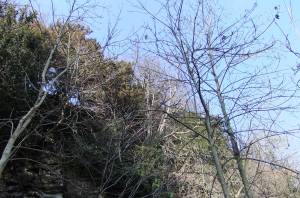 |