|
| *****SWAAG_ID***** | 405 |
| Date Entered | 28/12/2011 |
| Updated on | 28/12/2011 |
| Recorded by | Tim Laurie |
| Category | Tree Site Record |
| Record Type | Botanical HER |
| SWAAG Site Name | |
| Site Type | |
| Site Name | |
| Site Description | |
| Site Access | Public Access Land |
| Location | |
| Civil Parish | Muker |
| Brit. National Grid | |
| Altitude | 430m |
| Geology | Limestone cliff with scree talus slope and kame terrace below. The Main Limestone. |
| Record Name | Muker. Kisdon North Gang Scars. Middle or Bird Cherry Scar. |
| Record Description | Limestone cliff facing due east at 430m elevation. Relict woodland which includes ancient bird cherry, ash, wych elm,rowan, ivy and rose sp. |
| Dimensions | See photographs |
| Geographical area | Upper Swaledale |
| Species | Bird cherry |
| Scientific Name | Prunus padus |
| Common / Notable Species | ASh, wych elm, rowan, rose sp, ivy. |
| Tree and / or Stem Girth | |
| Tree: Position / Form / Status | |
| Tree Site ID | 0 |
| Associated Site SWAAG ID | 0 |
| Additional Notes | The remains of a small ring cairn and later rectangular building can be seen at the dge of the kame terrace below this scar. See photographs. |
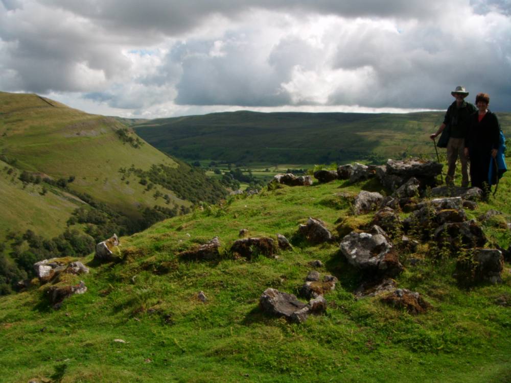
| Image 1 ID | 953 Click image to enlarge |
| Image 1 Description | Swaledale from the kame terrace below the Bird Cherry Scar with remains of ring cairn. |  |
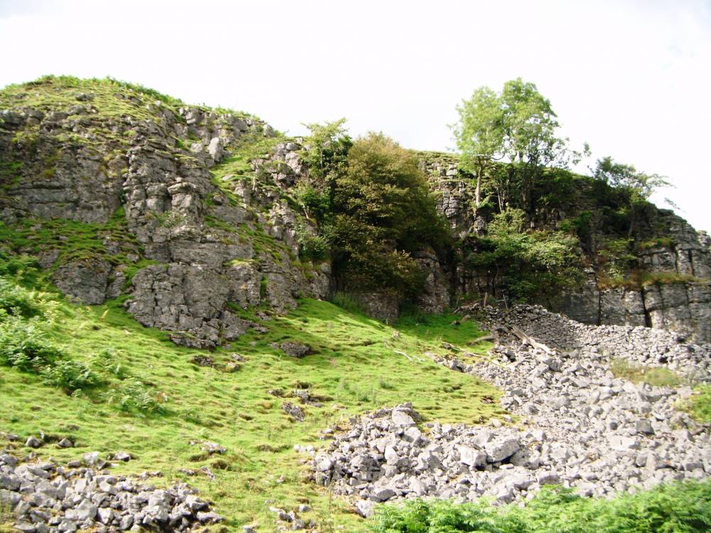
| Image 2 ID | 1815 Click image to enlarge |
| Image 2 Description | The Bird Cherry Scar |  |
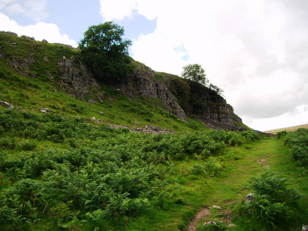
| Image 3 ID | 1816 Click image to enlarge |
| Image 3 Description | |  |
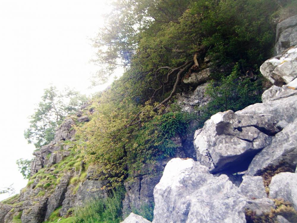
| Image 4 ID | 1817 Click image to enlarge |
| Image 4 Description | | 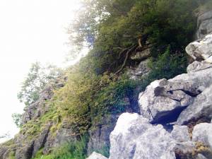 |
| Image 5 ID | 1818 Click image to enlarge |
| Image 5 Description | | 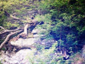 |