|
| *****SWAAG_ID***** | 403 |
| Date Entered | 19/12/2011 |
| Updated on | 20/12/2011 |
| Recorded by | Tim Laurie |
| Category | Burial Mounds and Cairns |
| Record Type | Archaeology |
| SWAAG Site Name | |
| Site Type | |
| Site Name | |
| Site Description | |
| Site Access | Public Access Land |
| Record Date | 01/01/2005 |
| Location | Bainbridge, Semerwater Area, Semer Dale. |
| Civil Parish | Not known |
| Brit. National Grid | |
| Altitude | Varies |
| Geology | Glacial trough formed by a tributary glacier to the Wensleydale ice, forming hanging valley basin with sediment infilled reduced lake |
| Record Name | Bainbridge. Semerdale.Prehistoric sites and finds in the vicinity of Semerwater. |
| Record Description | On grounds that the whole is greater than the sum of the individual parts this record is a photo montage of some of the sites and finds from the area centred on Semerwater.
Each of the sites and finds shown below will be recorded seperately on this database, later.
However in view of the fact that the ten or so burnt mounds around Semerwater are already being recorded, I thought that a photofile of Semerwater would provide a context for these sites. |
| Dimensions | |
| Geographical area | |
| Species | |
| Scientific Name | |
| Common / Notable Species | |
| Tree and / or Stem Girth | |
| Tree: Position / Form / Status | |
| Tree Site ID | 0 |
| Associated Site SWAAG ID | 0 |
| Additional Notes | |
| Image 1 ID | 1774 Click image to enlarge |
| Image 1 Description | Semerwater and Addlebrough frm Countersett Crag. |  |
| Image 2 ID | 1776 Click image to enlarge |
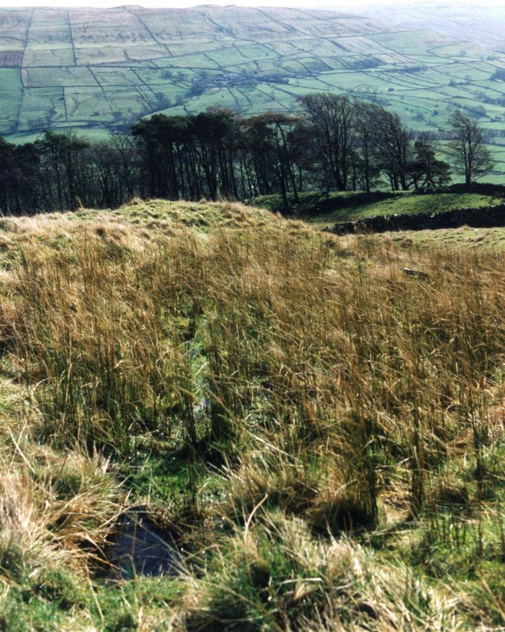
| Image 2 Description | Cup marked kerb stones to the summit round cairn on Addlebrough, view towards head of Wensleydale.This cairn has been reduced by stone quarrying, cup marked rocks originally hidden in the body of the cairn. | 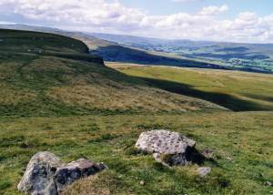 |
| Image 3 ID | 1777 Click image to enlarge |
| Image 3 Description | Round Cairn on Counterset Crag. Undisturbed and only recently recognised. | 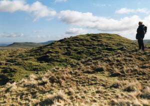 |
| Image 4 ID | 1778 Click image to enlarge |
| Image 4 Description | Enclosure said to be a Middle Bronze Age Ring cairn on Scout Crag. I have doubts on this interpretation | 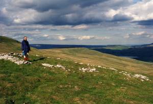 |
| Image 5 ID | 1779 Click image to enlarge |
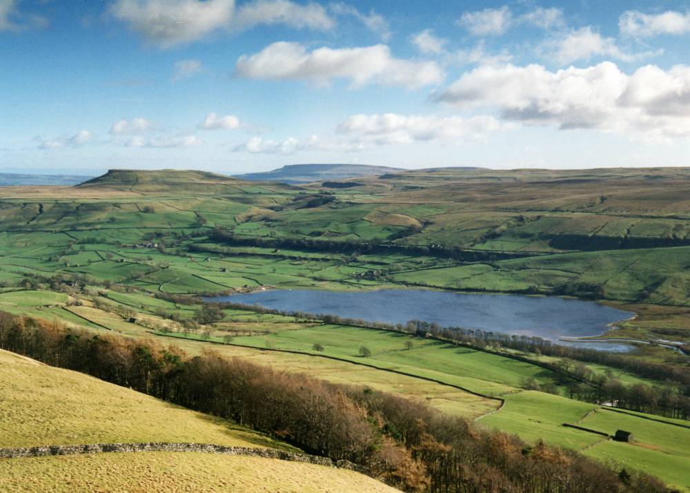
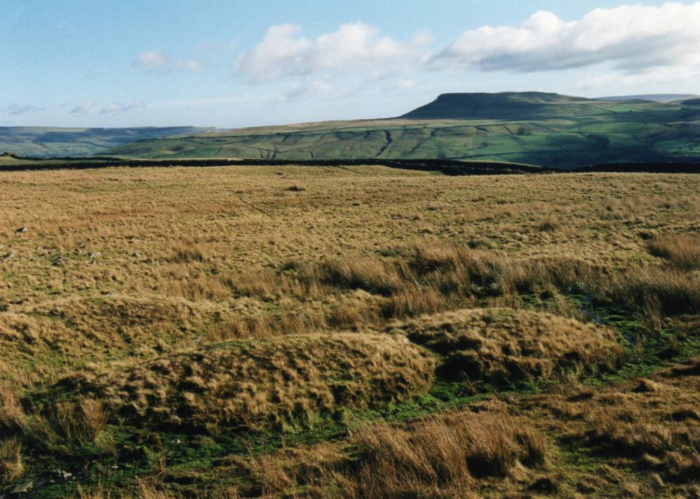
| Image 5 Description | Semerwater from Counterset Crag. | 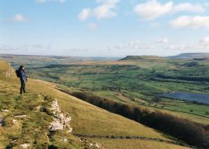 |
| Image 6 ID | 1780 Click image to enlarge |
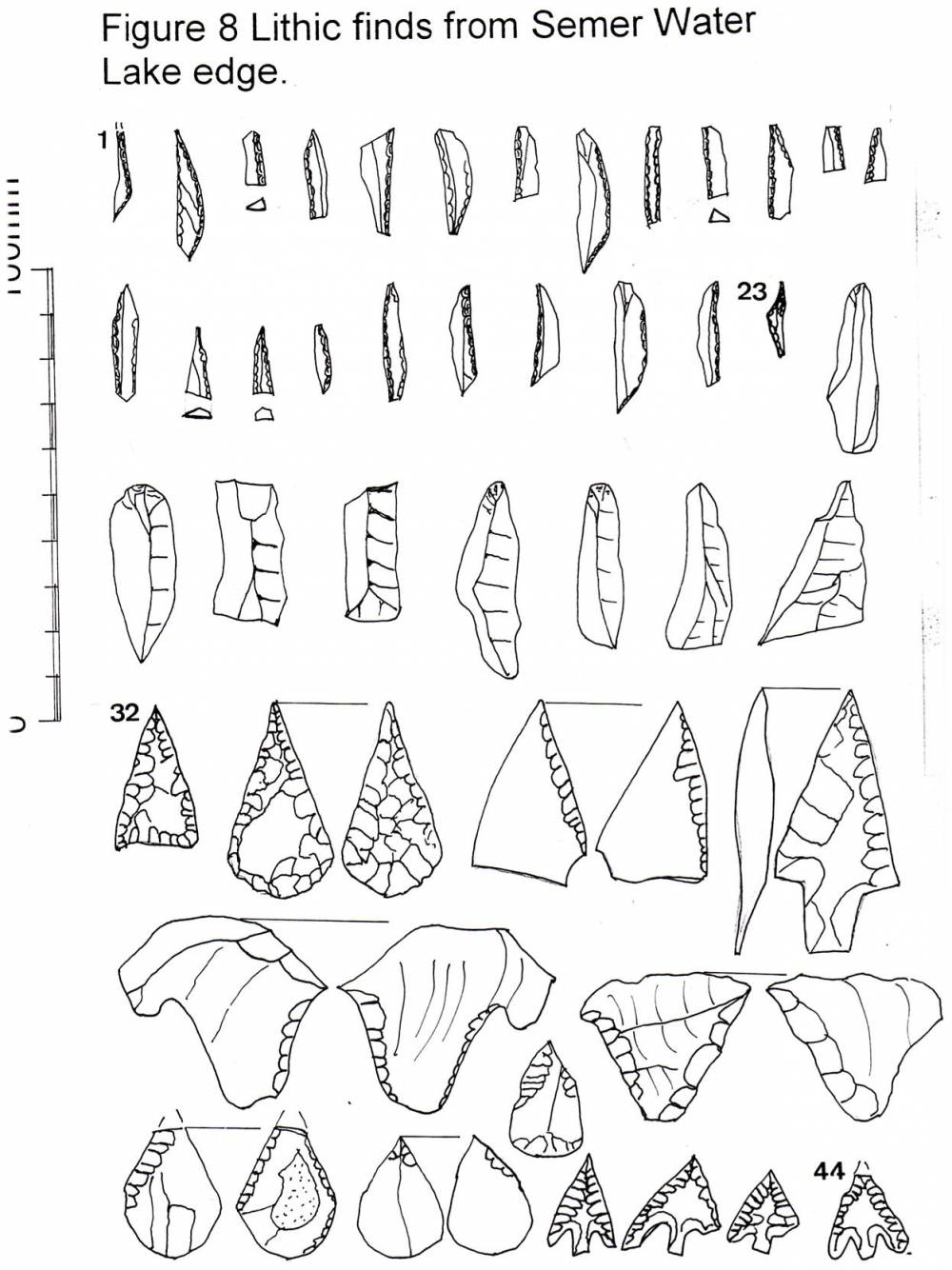
| Image 6 Description | Lithic finds from Semerwater. | 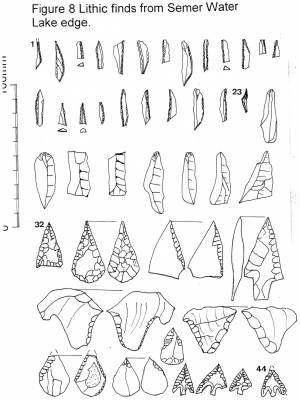 |
| Image 7 ID | 1783 Click image to enlarge |
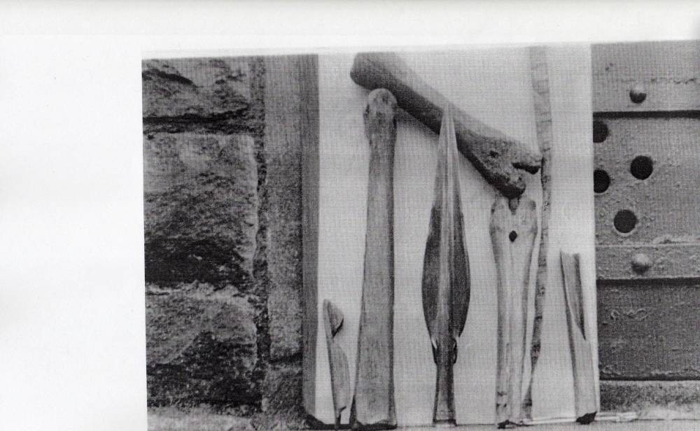
| Image 7 Description | Contemorary photograph of the Decorated MBA Spearhead and humanly modified animal bones from Semerwater lake Edge | 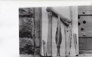 |
| Image 8 ID | 1782 Click image to enlarge |
| Image 8 Description | Neolithic arrowpoints from Semerwater Lake Edge, note peat water patination. These were found at two locations on the Lake Shore when the level of Semerwater was lowered. | 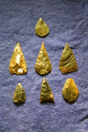 |
| Image 9 ID | 1781 Click image to enlarge |
| Image 9 Description | Two late neolithic transverse arrowheads from Semerwater Lake Edge. | 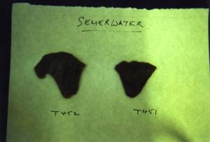 |
| Image 10 ID | 1773 Click image to enlarge |
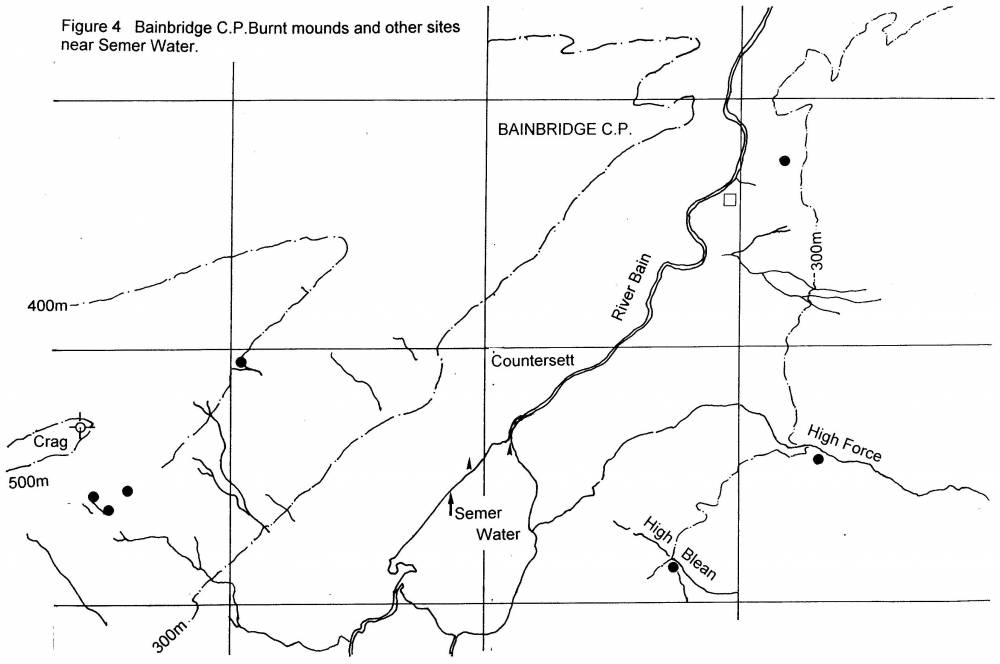
| Image 10 Description | Semerwater. Location of Burnt mounds, not all sites shown. | 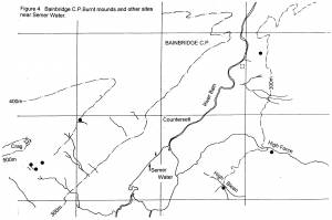 |
| Image 11 ID | 233 |
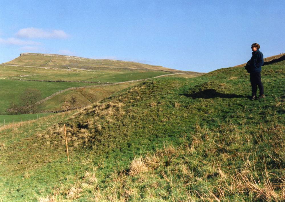
| Image 11 Description | Counterset Crag. Large burnt mound at spring rise. | 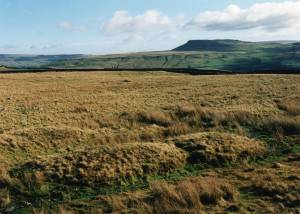 |
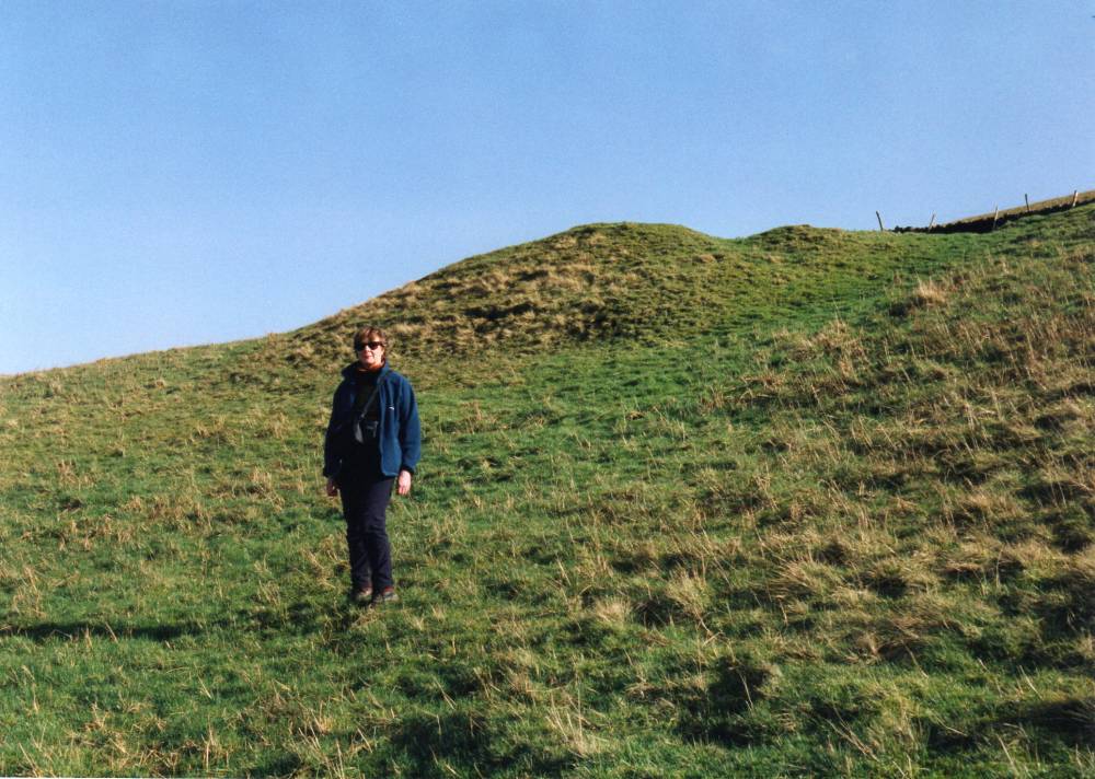
| Image 12 ID | 234 |
| Image 12 Description | Counterset Crag. Large burnt mound at spring rise. | 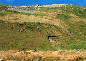 |
| Image 13 ID | 240 |
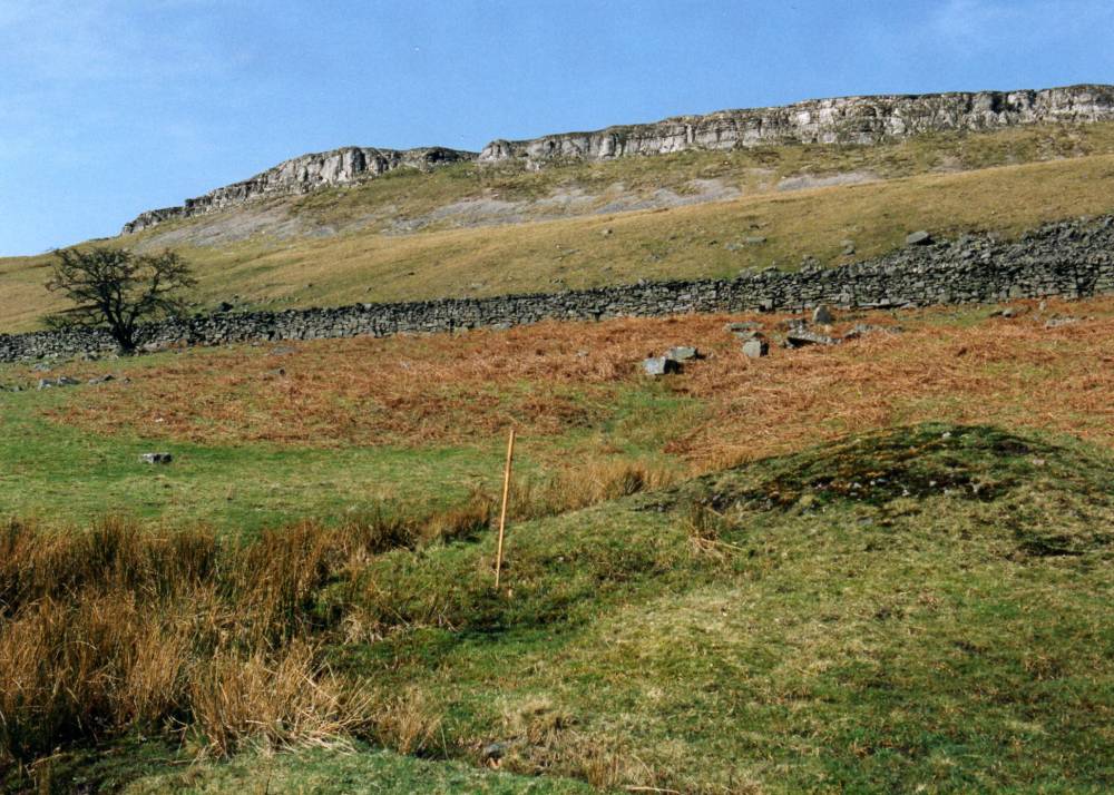
| Image 13 Description | High Force farm. Large burnt mound, one of two at spring rise south of High Force Farm. |  |
| Image 14 ID | 241 |
| Image 14 Description | High Force farm. Large burnt mound, one of two at spring rise south of High Force Farm. | 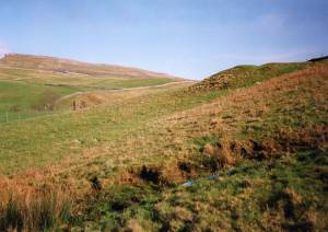 |
| Image 15 ID | 242 |
| Image 15 Description | High Force farm. Large burnt mound, one of two at spring rise south of High Force Farm. |  |
| Image 16 ID | 235 |
| Image 16 Description | Wood End Lodge. Burnt mound at Upper Plantation Springs, one of three here, with Mr Robin Minnett. | 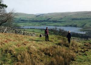 |
| Image 17 ID | 236 |
| Image 17 Description | Wood End Lodge. Burnt mound at Upper Plantation Springs, one of three here |  |
| Image 18 ID | 237 |
| Image 18 Description | Wood End Lodge. Burnt mound at Upper Plantation Springs, one of three here | 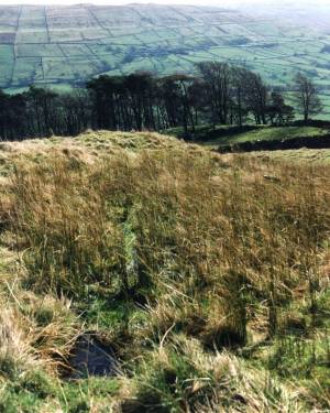 |