|
| *****SWAAG_ID***** | 420 |
| Date Entered | 05/01/2012 |
| Updated on | 05/01/2012 |
| Recorded by | Tim Laurie |
| Category | Tree Site Record |
| Record Type | Botanical HER |
| SWAAG Site Name | |
| Site Type | |
| Site Name | |
| Site Description | |
| Site Access | Public Access Land |
| Record Date | 01/08/2010 |
| Location | New Forest. Arndale Hole, Lower Scar |
| Civil Parish | New Forest |
| Brit. National Grid | NZ 0645 0584 |
| Altitude | 380m |
| Geology | Main Limestone outcrop between Arndale Springs and Arndale Beck. |
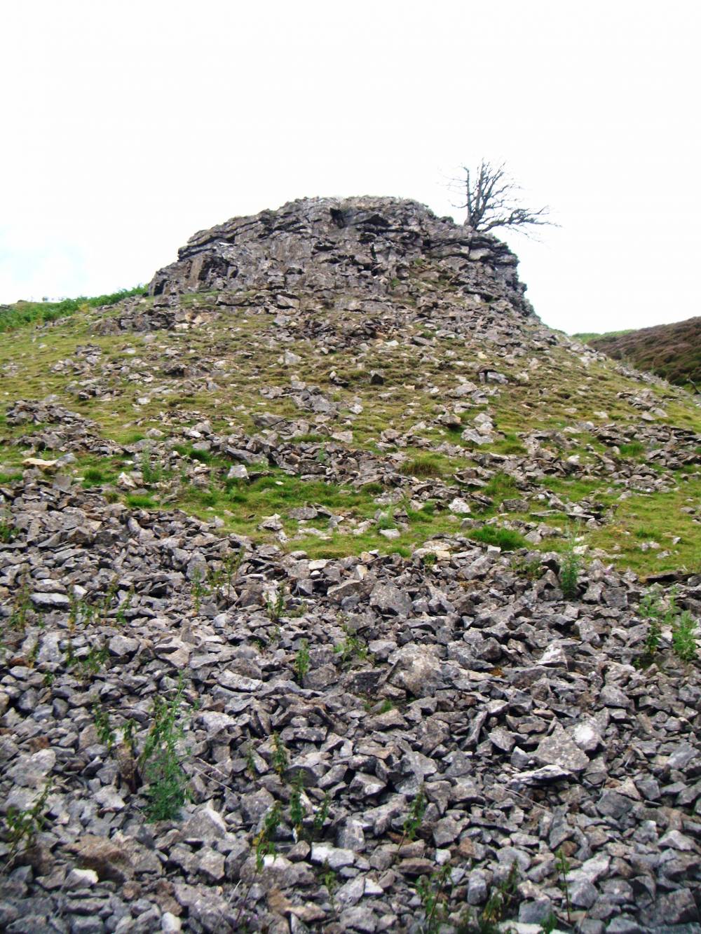
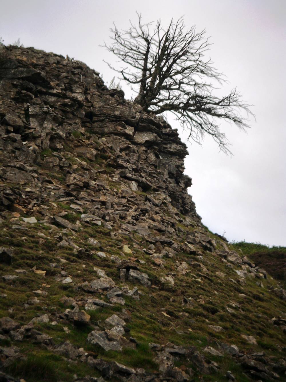
| Record Name | New Forest. Arndale Hole, Lower Scar. Solitary dead yew. |
| Record Description | This record is of a solitary yew, recently dead, located on an isolated outcrop of limestone. This treee is mature and of substantial dimensions, fully branched and has not fallen. The cause of death is uncertain, perhaps a change of the water table. The outcrop is reasonably accessible to rabbits and the tree may have been ring barked. |
| Dimensions | See photo. |
| Geographical area | Swaledale North Bank Catchment |
| Species | Yew |
| Scientific Name | Taxus baccata |
| Common / Notable Species | The only tree here and dead. |
| Tree and / or Stem Girth | |
| Tree: Position / Form / Status | |
| Tree Site ID | 0 |
| Associated Site SWAAG ID | 0 |
| Additional Notes | |
| Image 1 ID | 1934 Click image to enlarge |
| Image 1 Description | Arndale Hole Scar. Solitary yew. | 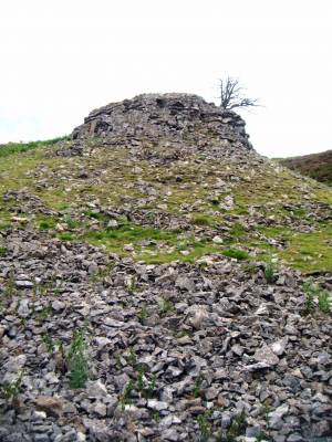 |
| Image 2 ID | 1935 Click image to enlarge |
| Image 2 Description | Arndale Hole Scar. Solitary yew. |  |