|
| *****SWAAG_ID***** | 766 |
| Date Entered | 06/11/2013 |
| Updated on | 02/12/2013 |
| Recorded by | Tim Laurie |
| Category | Photographic Record |
| Record Type | Northern Britain |
| SWAAG Site Name | |
| Site Type | |
| Site Name | |
| Site Description | |
| Site Access | Public Footpath |
| Record Date | 04/11/2013 |
| Location | Middleham Castle, William Hill Motte and Bailey and River Cover Banks |
| Civil Parish | Middleham |
| Brit. National Grid | |
| Altitude | |
| Geology | Drift over Yoredale Limestones, Sandstones and Shales |
| Record Name | Middleham Castle, William's Hill Ring and Bailey Earthworks and Hullo Bridge across the River Cover. |
| Record Description | These images are intended to draw attention to the historic landscape south of Middleham which can be enjoyed during a walk from Middleham to East Witton via the Banks of the River Cover and Hello Bridge. These images are merely an introduction to the earlier section of the walk to Hullo Bridge and no attempt is made to provide details of the archaeological features. The woodland and trees seen will be the subject of specific records to be added later.
Several of the photographs were taken many years ago during a group field walk.
TCL Note: The William's Hill earthworks have been the subject of detailed survey by Stephen Moorhouse:
For a magnificently detailed hachure survey of the whole of the Williams Hill Motte, Ringwork and Outer Bailey complex see Stephen Moorhouse 2003, 'Anatomy of the Yorkshire Dales: decoding the medieval landscape.' in T.G.Manby et a. eds. 'The Archaeology of Yorkshire' Yorkshire Archaeological Society Occasional Paper No 3, pp 293-362 and Figs 107 and 111 |
| Dimensions | |
| Geographical area | |
| Species | |
| Scientific Name | |
| Common / Notable Species | |
| Tree and / or Stem Girth | |
| Tree: Position / Form / Status | |
| Tree Site ID | 0 |
| Associated Site SWAAG ID | 0 |
| Additional Notes | The following notes have been contributed by Hugh Pannell:
Williams Hill Motte and Bailey Castle. Middleham.
Sited to the rear of Middleham Castle, this earlier castle was built in the reign of William Rufus. It
was replaced by the stone built castle we see today in 1180. The Motte is about 160' by 115' and some 40' in height. The Motte expands to form a platform with a base of 112' and a width of 55'.
This would be the most obvious position of the wooden tower. The Castle has commanding views over the local area, dominating both Wenslydale and Coverdale. It would also have covered the ancient road from Skipton to Richmond. At Williams Hill there is also a powerful ringwork that is
massively thick- at one point some 45feet across the top.
There has been confusion in the past over the surrounding 'earthworks'. What can be seen are the remains of ditch and furrow field systems. There are the remains of what appear to be a mill site to the rear of the motte. Today the site is a woody landscape that is much puddled by cattle and sheep wanderings. Walking boots, if not wellingtons , are a must. Care must be taken in places as the water table is quite high . This castle has been covered by Mike Salter in his 'The Castles and Tower Houses of Yorkshire ' via Folly Publications.(Malvern). The views from this site are panoramic to say the least.
A tradition exists locally that there is a tunnel from one of the castles to Jervaulx abbey. Apparently during a torrential downpour, water was seen to disappear down a hole. This was later examined, and found to be the start of a possible tunnel entrance. It can be noted, however, that a similar tradition also exists around the other castle built by Alan Rufus ( The Red) – Richmond.
The name of the town itself- Middleham, is said to derive from the Celtic name of Mediolanum.
A town of the Ordovices.
Bibliography.
The Gatehouse Gazeteer. Web page.
Salter, M . The Castles and Tower Houses of Yorkshire. Folly Publications. Malvern
|
| Image 1 ID | 4811 Click image to enlarge |
| Image 1 Description | Middleham Castle. | 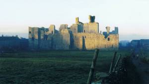 |
| Image 2 ID | 4812 Click image to enlarge |
| Image 2 Description | Middleham Castle. | 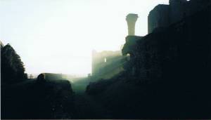 |
| Image 3 ID | 4813 Click image to enlarge |
| Image 3 Description | Middleham Castle. | 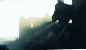 |
| Image 4 ID | 4814 Click image to enlarge |
| Image 4 Description | Middleham Castle from the track southward. | 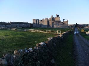 |
| Image 5 ID | 4823 Click image to enlarge |
| Image 5 Description | The outer Bailey or Ringwork earthworks of William's Hill Motte which was the short lived predecessor of Middleham Castle being occupied from c1080-c1180 (See Moorhouse 2003). | 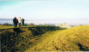 |
| Image 6 ID | 4824 Click image to enlarge |
| Image 6 Description | William's Hill Motte | 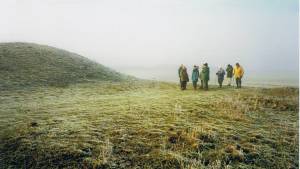 |
| Image 7 ID | 4815 Click image to enlarge |
| Image 7 Description | Hedgerow ash tree. | 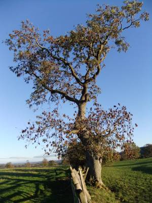 |
| Image 8 ID | 4816 Click image to enlarge |
| Image 8 Description | Distant view of Pen Hill and relict hedgerow trees. | 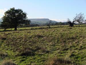 |
| Image 9 ID | 4817 Click image to enlarge |
| Image 9 Description | Ancient ash tree. | 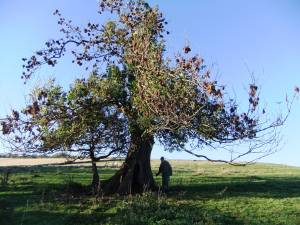 |
| Image 10 ID | 4820 Click image to enlarge |
| Image 10 Description | River Cover with overhanging beech in full autumn colour. | 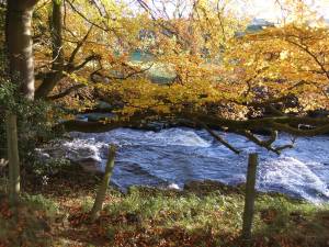 |
| Image 11 ID | 4821 |
| Image 11 Description | The River Cover with overhanging beech. | 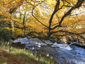 |
| Image 12 ID | 4819 |
| Image 12 Description | Detail of beech tree. | 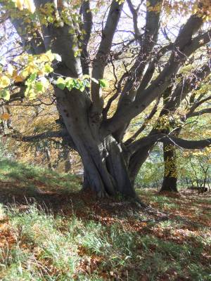 |
| Image 13 ID | 4822 |
| Image 13 Description | Hullo Bridge | 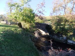 |


