|
| *****SWAAG_ID***** | 767 |
| Date Entered | 01/12/2013 |
| Updated on | 02/12/2013 |
| Recorded by | Tim Laurie |
| Category | Mining Related |
| Record Type | Mining |
| SWAAG Site Name | |
| Site Type | |
| Site Name | |
| Site Description | |
| Site Access | Private |
| Record Date | 28/11/2013 |
| Location | Braithwaite Hall Estate and River Cover Banks. |
| Civil Parish | East Witton |
| Brit. National Grid | Hidden |
| Altitude | From140m to |
| Geology | The following information is extracted from K.G.Dunham and A.A.Wilson, 1985. British Geological Survey: Geology of the North Pennine Orefield Vol. 2 Stainmore to Craven, pp181,182 where a detailed account of the Braithwaite mine is available:
Richmond chert strata faulted against Main Limestone. The Braithwaite vein was mined for lead and silver from very early date, possibly as early as the reign of Henry viii and certainly at 1734. Minerals in the spoil heaps include 'pale amber fluorite,, barite, calcite, spalerite,, chalcopyrite and galena. The lead concentrate which in the 19C was sent to Bollihope in Weardale for de-silvering, included 4.6oz silver per ton of lead metal. The West Vein, close to the River Cover was worked from shafts sunk into the Middle Limestone. |
| Record Name | The Braithwaite Mines, bale site and riverside waterwheel pit which provided power to the pumps |
| Record Description | This record provides a visual introduction to the extensive lead mine remains centred on shafts located to the north of the road below Braithwaite Hall but which worked lead veins which extended upslope to the limit of enclosed pastures at SE m AOD and downslope to the Banks of the River Cover at SE m AOD. This record also provides an introduction to the very interesting water power management system and water wheel located in a deep pit close to the River Cover associated with the requirement for dewatering the lower levels of the mine via a suspended timber rod transmission line '1000ft' (456m) in length. These remains include a very large water wheel pit which survives in remarkably good condition despite tree growing within it and two other large masonry structures located lower downstream on the bank of the River Cover which could be the remains of two further water wheel structures using a side channel of the River together with a water leat which powered the large wheel(s) and associated hollow ways leading northward towards Middleham on the north bank of the river. |
| Dimensions | Wheel pit approx. 10.5m *2m*4m deep |
| Geographical area | |
| Species | |
| Scientific Name | |
| Common / Notable Species | |
| Tree and / or Stem Girth | |
| Tree: Position / Form / Status | |
| Tree Site ID | 0 |
| Associated Site SWAAG ID | 0 |
| Additional Notes | Reference: K.G.Dunham andA.A.Wilson, 1985. British Geological Survey. Geology of the North Pennine Orefield Vol. 2 Stainmore to Craven, pp181,182
See captions to the photographs for brief details of the shaft mounds on the Braithwaite Vein from moor edge to the River Cover and of the remains of the water management system which provided power to the mine pumps over a distance of 456m via a suspended timber rod transmission on triangular timber supports, now leaving no visible trace. |
| Image 1 ID | 4825 Click image to enlarge |
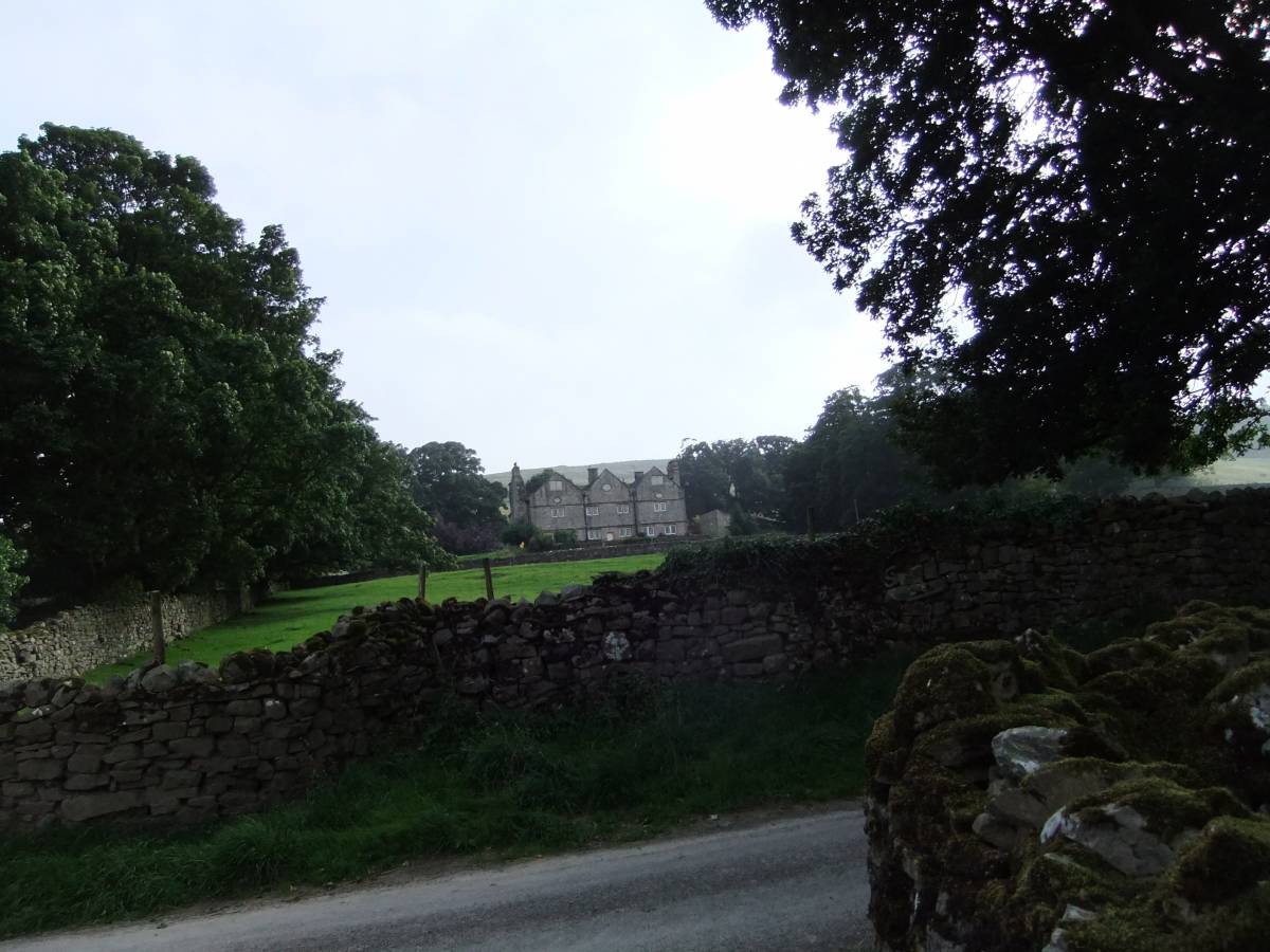
| Image 1 Description | Braithwaite Hall from the road to East Witton. | 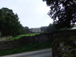 |
| Image 2 ID | 4829 Click image to enlarge |
| Image 2 Description | Shaft mound north of the road below Braithwaite Hall. | 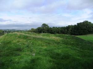 |
| Image 3 ID | 4828 Click image to enlarge |
| Image 3 Description | Shaft mound north of the road below Braithwaite Hall. |  |
| Image 4 ID | 4826 Click image to enlarge |
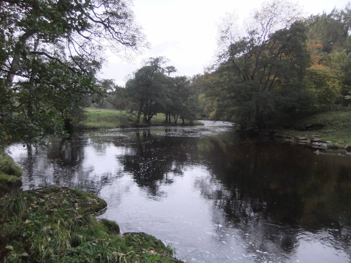
| Image 4 Description | Hullo Bridge, caries the track to Middleham over the River Cover below Braithwaite Hall | 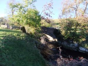 |
| Image 5 ID | 4832 Click image to enlarge |
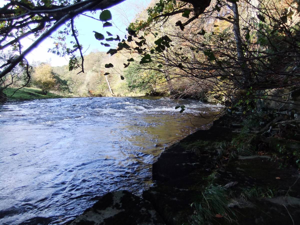
| Image 5 Description | Hullo Bridge. A leat took water from the R. Cover above Hullo Bridge down to discharge above the large wheel pit. | 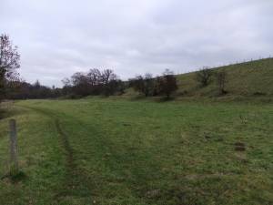 |
| Image 6 ID | 4834 Click image to enlarge |
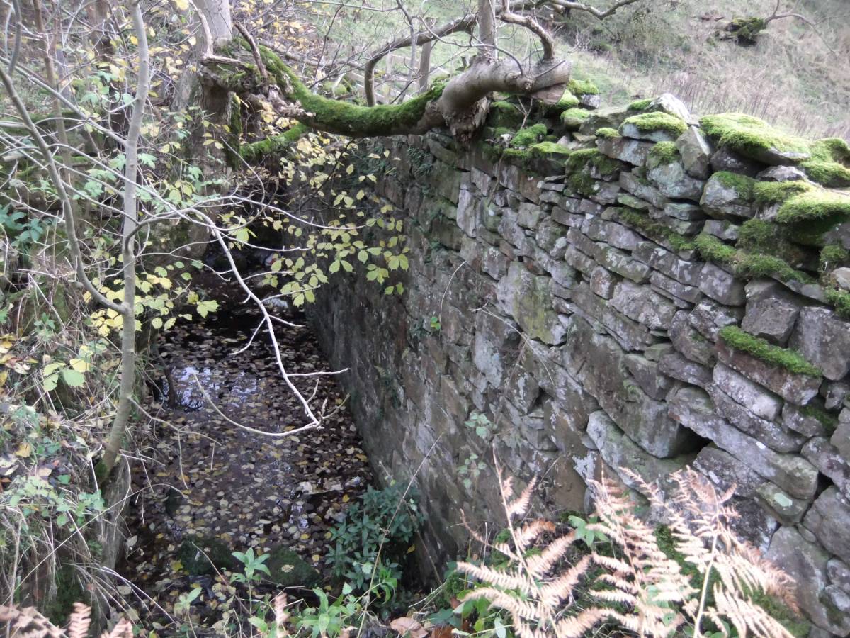
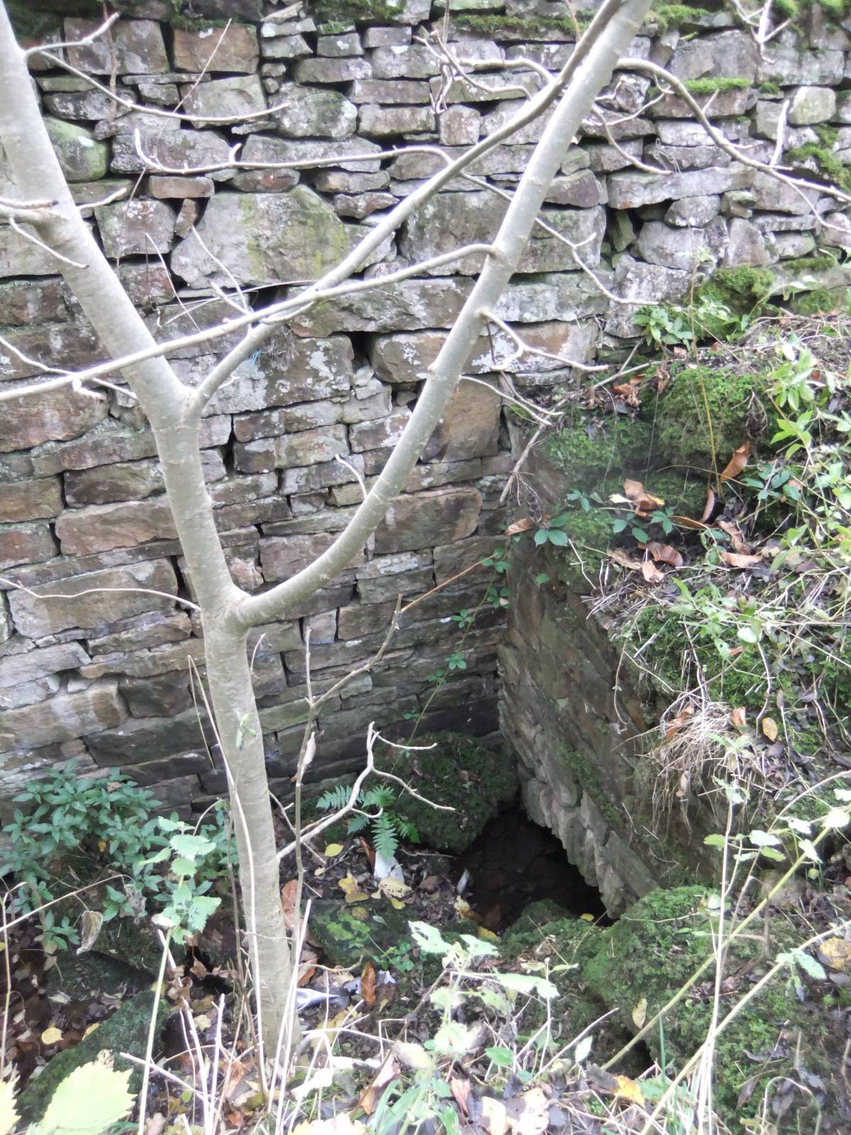
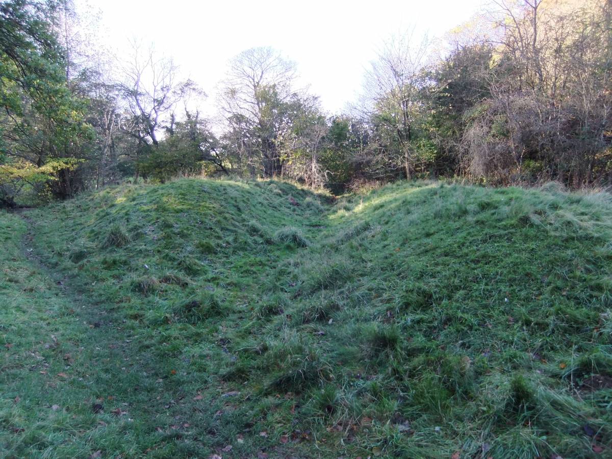
| Image 6 Description | The masonry lined wheel pit is 10m*2m*4m deep approximately | 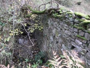 |
| Image 7 ID | 4835 Click image to enlarge |
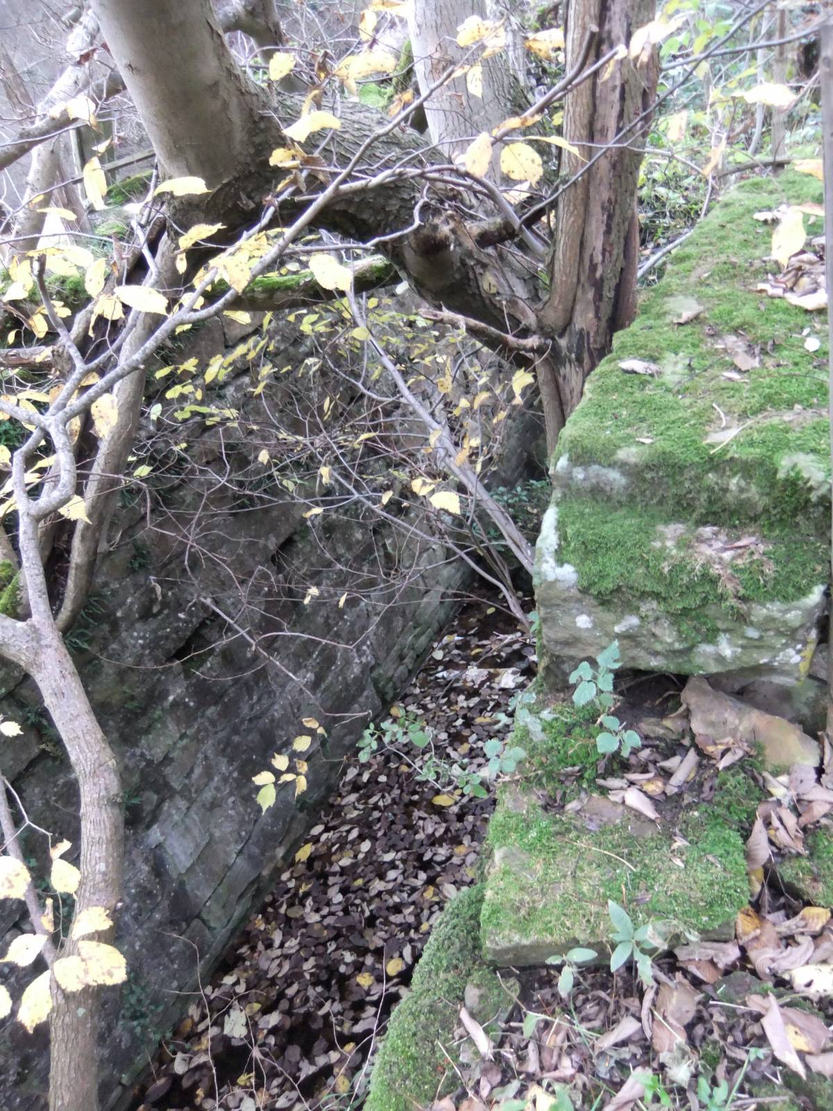
| Image 7 Description | The masonry lined wheel pit | 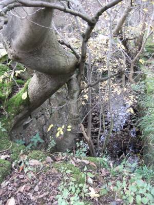 |
| Image 8 ID | 4836 Click image to enlarge |
| Image 8 Description | The masonry lined wheel pit | 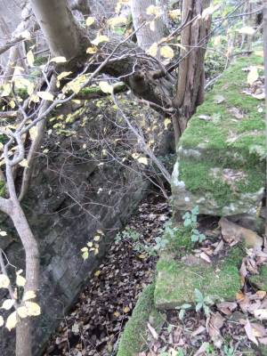 |
| Image 9 ID | 4837 Click image to enlarge |
| Image 9 Description | The masonry lined wheel pit |  |
| Image 10 ID | 4838 Click image to enlarge |
| Image 10 Description | The substantial masonry of a walled platform, which may mark the site of a second water wheel, can just be seen on the north bank of the River Cover some 80m downstream from the large wheel pit. A canal like leat leads to this platform from the outflow of the large wheel pit, see next image. | 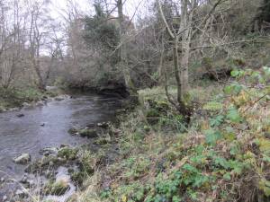 |
| Image 11 ID | 4848 |
| Image 11 Description | The masonry platform on the North Bank of the Cover 80m downstream of the wheel pit |  |
| Image 12 ID | 4849 |
| Image 12 Description | This water leat connects the outflow from the wheel pit to the river bank platform | 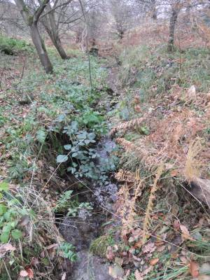 |
| Image 13 ID | 4830 |
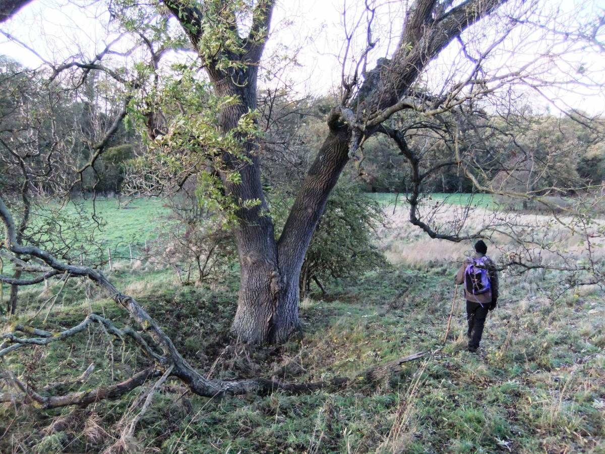
| Image 13 Description | Shaft mound on the Braithwaite West Vein close to the River Cover. | 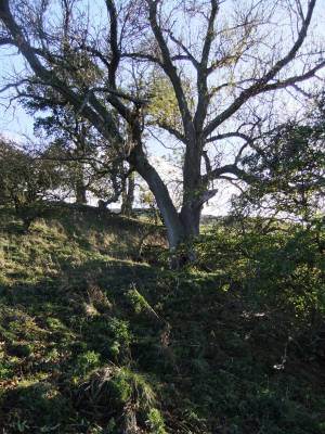 |
| Image 14 ID | 4831 |
| Image 14 Description | Shaft mound on the Braithwaite West Vein close to the River Cover 1km upstream of Hullo Bridge. |  |
| Image 15 ID | 4827 |
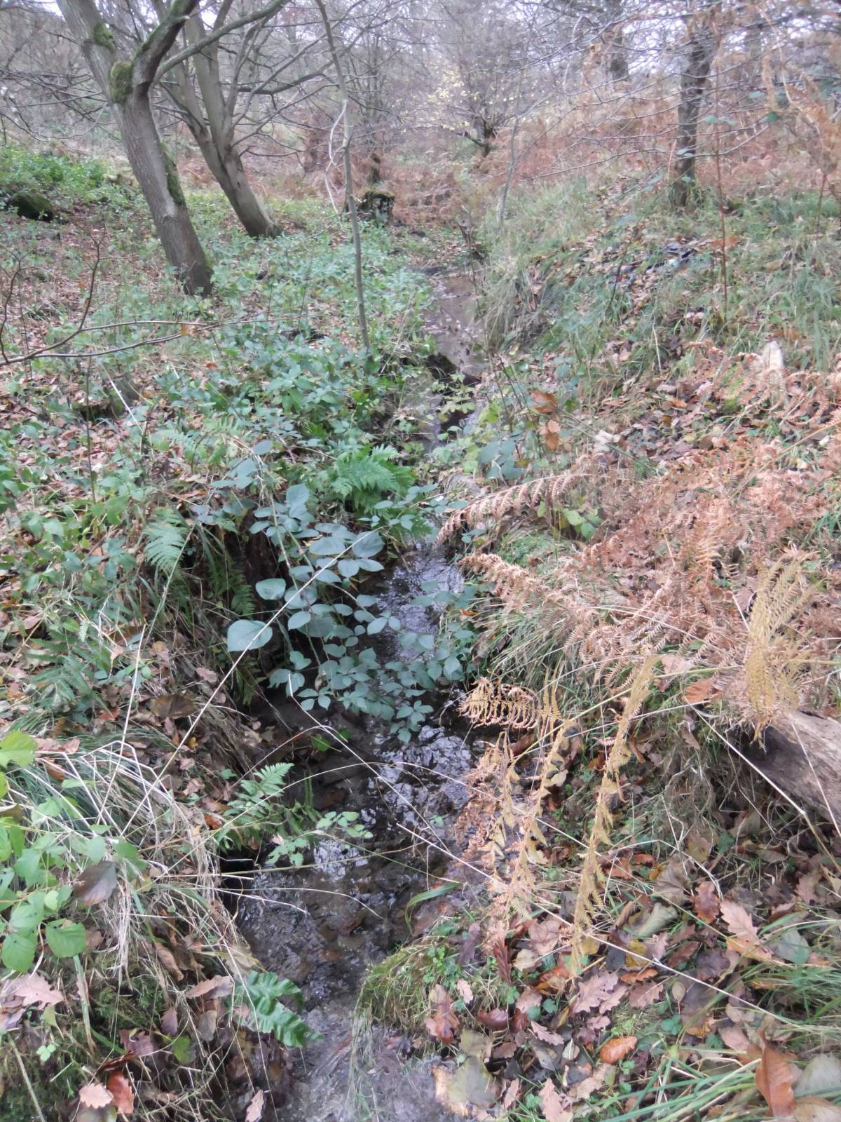
| Image 15 Description | An old hollow way leads away towards Middleham from this pool on the River Cover 1km downstream of Hullo Bridge. A stone structure on an abandoned channel by the south bank downstream of this pool marks the location of a possible further unrecorded waterwheel. | 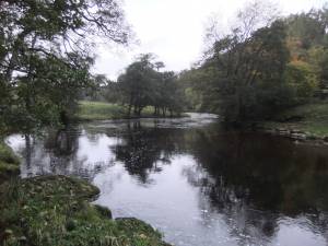 |
| Image 16 ID | 4840 |
| Image 16 Description | Unrecorded stone structure below the Scar on the south bank of the Cover, a possible 3rd waterwheel | 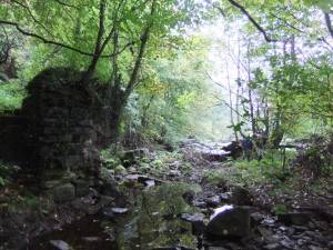 |
| Image 17 ID | 4841 |
| Image 17 Description | Unrecorded stone structure below the Scar on the south bank of the Cover, a possible 3rd waterwheel | 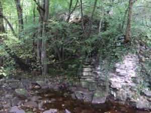 |
| Image 18 ID | 4842 |
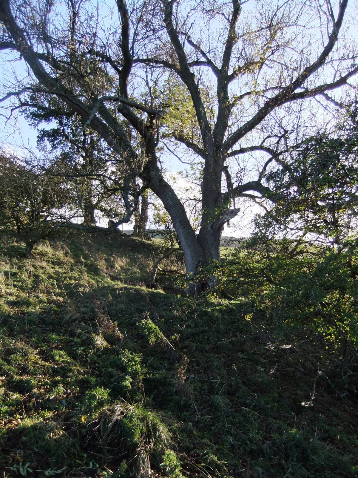
| Image 18 Description | Shaft mounds and hush high above Braithwaite Hall | 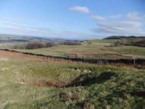 |
| Image 19 ID | 4843 |
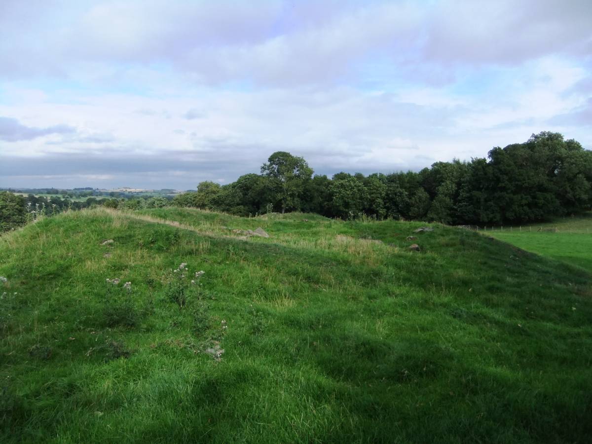
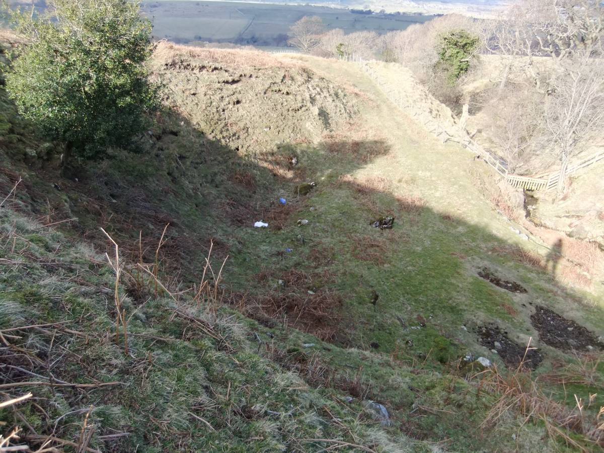
| Image 19 Description | Undated defended earthwork enclosure above Braithwaite Hall. | 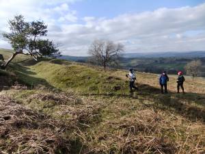 |
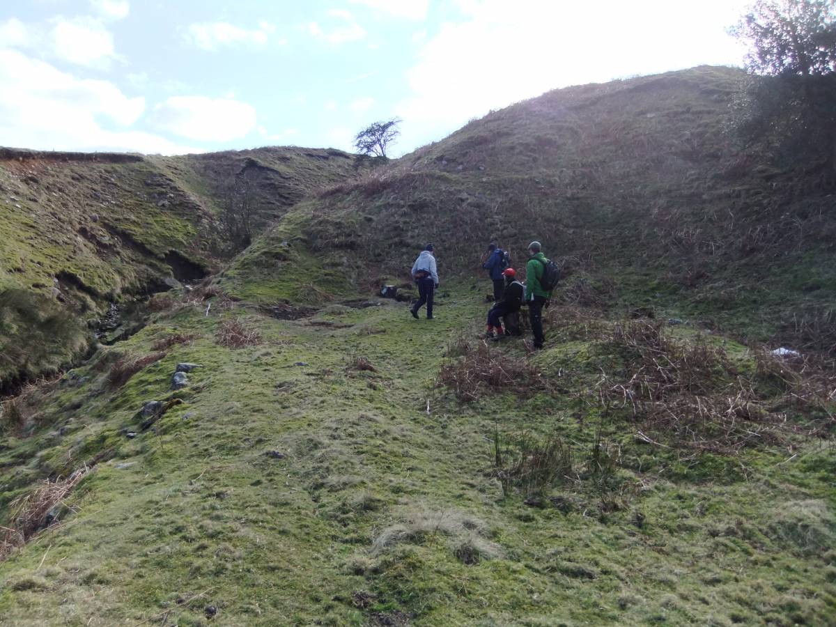
| Image 20 ID | 4844 |
| Image 20 Description | SWAAG Members at the lead bale site by the gill below the Braithwaite 'Fort'. | 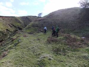 |
| Image 21 ID | 4845 |
| Image 21 Description | The lead bale | 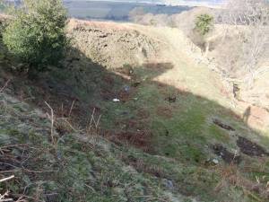 |
| Image 22 ID | 4850 |
| Image 22 Description | Hollow way close to junction with north bank of the River Cover | 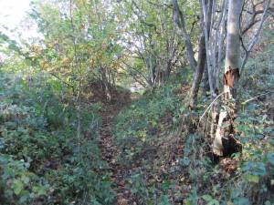 |
| Image 23 ID | 4851 |
| Image 23 Description | Hollow way leading downstream. | 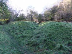 |
| Image 24 ID | 4852 |
| Image 24 Description | Hollow way leading downstream, northward towards Middleham and eastward towards Cover Bridge and East Witton. | 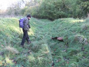 |
| Image 25 ID | 4853 |
| Image 25 Description | River cove from the end of the hollow way, at fording point the River Cover, except when in flood. |  |