|
| *****SWAAG_ID***** | 770 |
| Date Entered | 19/12/2013 |
| Updated on | 20/12/2013 |
| Recorded by | Tim Laurie |
| Category | Rock Art |
| Record Type | Archaeology |
| SWAAG Site Name | |
| Site Type | |
| Site Name | |
| Site Description | |
| Site Access | Public Access Land |
| Record Date | 17/12/2013 |
| Location | Barningham Low Moor and the How Tallon Ridge |
| Civil Parish | Barningham |
| Brit. National Grid | NZ 052 075 |
| Altitude | 250m -450m |
| Geology | Carboniferous Limestone Yoredale Strata from the Main Limestone, which outcrops at 430m on the How Tallon Ridge, down to the Three Yard Limestone at road level Except on the How Tallon Ridge these strata are generally masked below glacial drift deposits with occasional Shap Granite erratic boulders. A single small boulder of Shap Granit on Eel Hill at an elevation of 430m extends the previously recorded southern limit of the Stainmore Ice Stream southward for at least 1km and also the thickness of the Ice Stream carrying Shap Granites which clearly over-topped the southern edge of Teesdale at this point. |
| Record Name | A day on Barningham Moor, images of a Pennine Landscape. |
| Record Description | This record will provide a short introductory photographic journal of the geomorphological and archaeological landscapes of Barningham Low Moor and of the How Tallon Ridge seen during a walk for SWAAG members and their guests on 17th December. Detailed records of each of the features briefly visited during this walk on a fine but cold and breezy day in mid December will form the subject of separate records which are to follow.
A few photographs of the cup and ring and cup marked rocks which are some of the special features of Barningham Moor which were taken some 30-20 years ago, are included alongside photographs taken recently to illustrate the very rapid weathering of several of the cup and ring motifs.
So rapid is the weathering noted of one of the most significant rock surfaces (the Eel Hill Cup and Ring Marked Rock,Barningham Site 69), by comparison with the photograph image on page 56 of Beckensall and Laurie 1998, that SWAAG Members concluded that several (not all) of the rock carvings on Barningham Moor could soon disappear.
It may be that the sunlight conditions present during our visit to this rock were not quite as favourable as those present when the photographic image was taken in 1996 by Stan Beckensall for the Prehistoric Rock Art of Co Durham,Swaledale and Wensleydale Book, see images below. |
| Dimensions | See photgraphs |
| Geographical area | |
| Species | |
| Scientific Name | |
| Common / Notable Species | |
| Tree and / or Stem Girth | |
| Tree: Position / Form / Status | |
| Tree Site ID | 0 |
| Associated Site SWAAG ID | 0 |
| Additional Notes | Barningham is not only of great significance as a famous grouse moor and as a fine reserve for ground nesting birds and for relict yew woodland at Kexwith and in Arndale Beck, or for the wealth of prehistoric sites of different periods which have been recorded in recent years but also for the high value of the evidence for the presence of the Stainmore Ice Stream during the final Devensian Ice Age. The distant views from How Tallon Ridge and from Eel Hill across the Pass of Stainmore to Mickle Fell and the other High Fells which overlook the Vale of Eden, together with the small 'corrie like' feature known by all locals as 'Osmond's Gill' (Osmaril Gill on the OS Map)and together with the lateral moraines of East and West Langbaugh and the scattered boulders of Shap Granite all contribute to one of the finest of all Pennine glaciated landscapes.
I owe the following geomorphological interpretation to John Russell: 'Osmonds's Gill is a small glacial, 'corrie' like feature with an associated fossil below-ice drainage system in the form of the relict stream valleys which discharge to form a fossil dry waterfall at the head of the Osmonds Gill and Cross Gill- an associated 'hanging valley with interlocking spurs' which discharges into the upper western side of Osmonds Gill is a small but dramatic 'corrie' type features. A more specific account of Osmonds Gill with John Russell's commentary will be the subject of a separate record on this database. |
| Image 1 ID | 4887 Click image to enlarge |
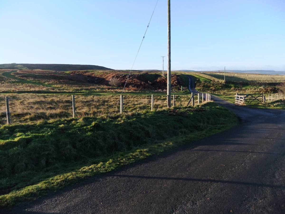
| Image 1 Description | The Moor Road, Cow Close Lane at the start. | 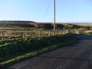 |
| Image 2 ID | 4888 Click image to enlarge |
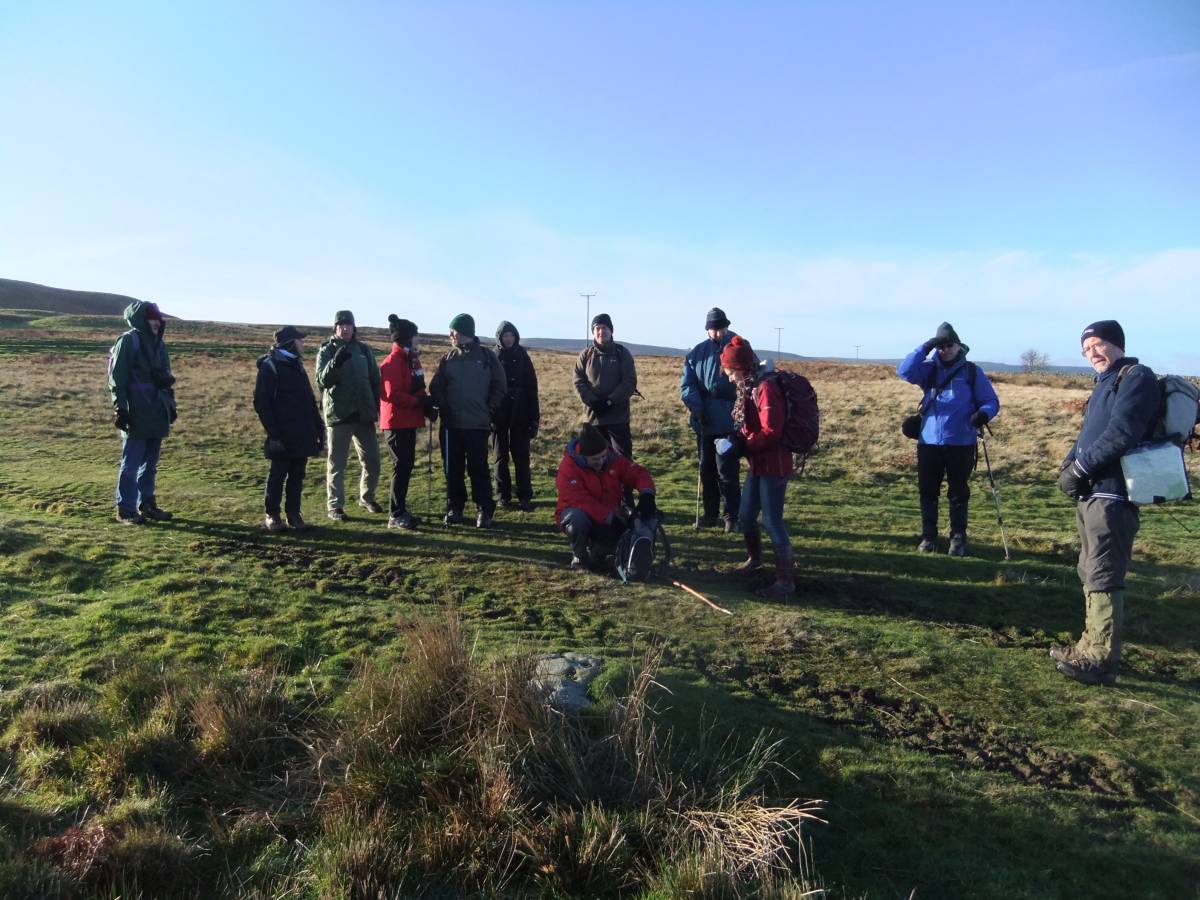
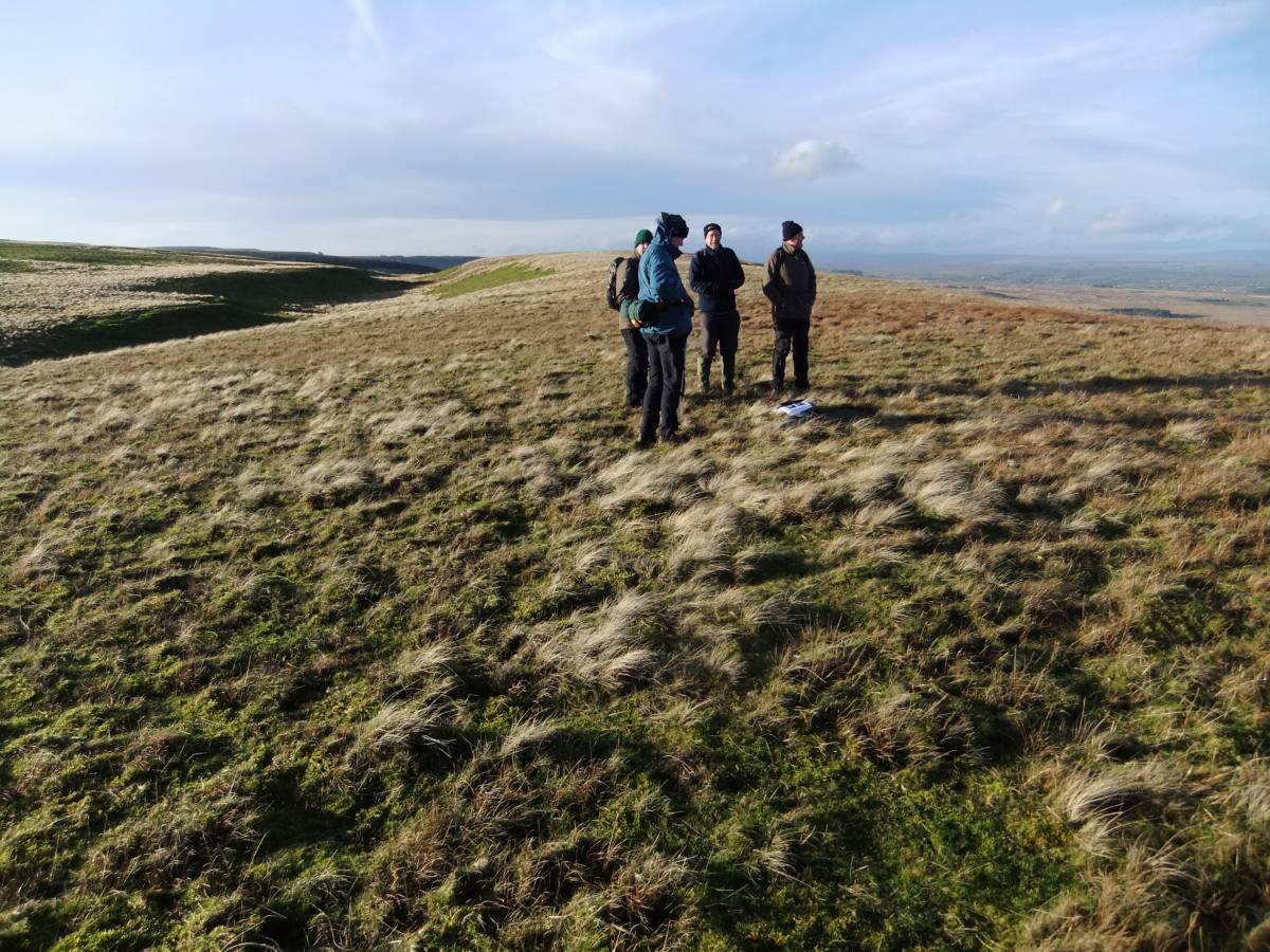
| Image 2 Description | The group examines a small cup marked rock at the lowest limit of the distribution of these marked earthfast rocks on Barningham Moor. |  |
| Image 3 ID | 4889 Click image to enlarge |
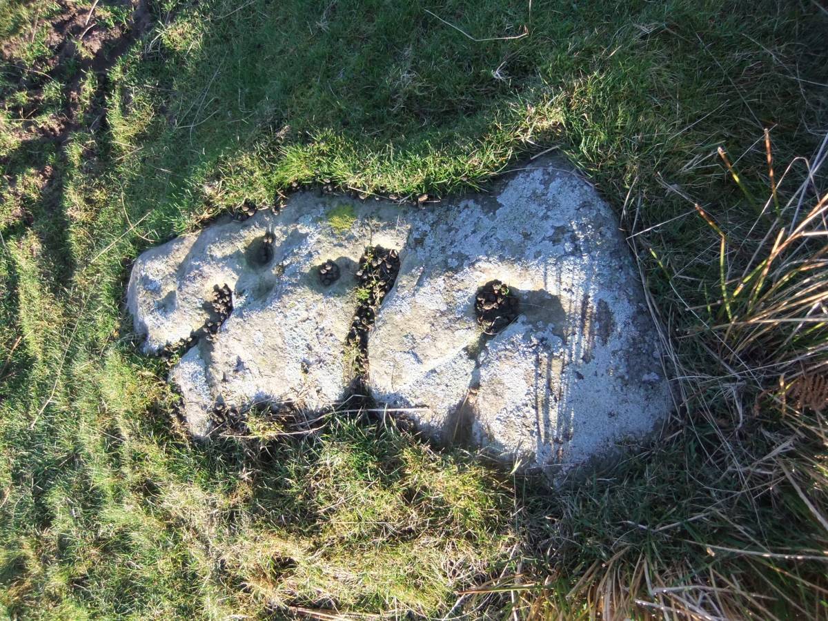
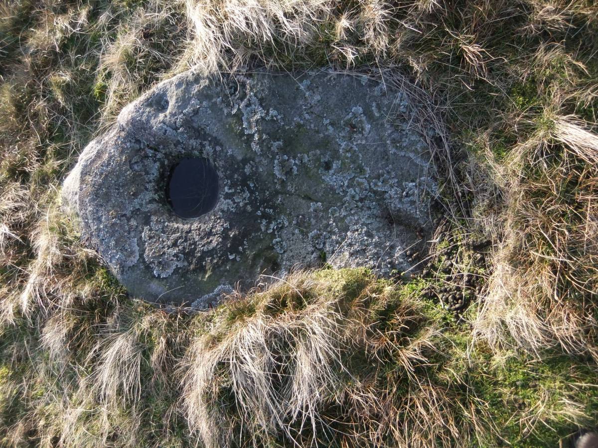
| Image 3 Description | The small rock is simply decorated with cup marks and grooves. | 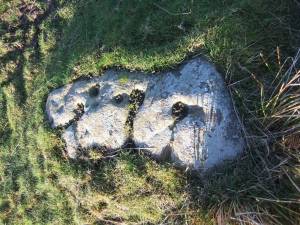 |
| Image 4 ID | 4890 Click image to enlarge |
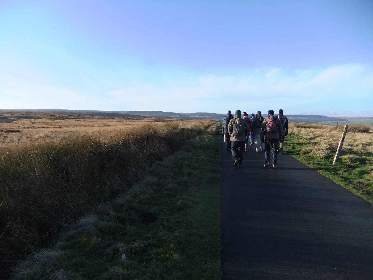
| Image 4 Description | The Moor Road, walking towards Haythwaite Farm. Eel Hill and the How Tallon Ridge in the distance. |  |
| Image 5 ID | 4915 Click image to enlarge |
| Image 5 Description | Rowley Intake. Cup marked setting of three rocks located close to an undated large stone embanked and scooped circular enclosure at Greystones. This may be the local equivalent of an embanked stone circle and possibly reused as a settlement enclosure. | 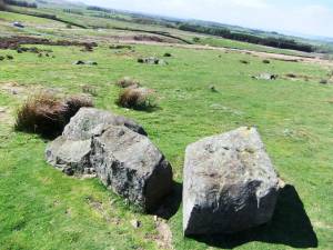 |
| Image 6 ID | 4892 Click image to enlarge |
| Image 6 Description | Lucky for some! Number seven. Domino formation of 7 Late Neolithic cup marks comprising a group of 5 and a group of 2. | 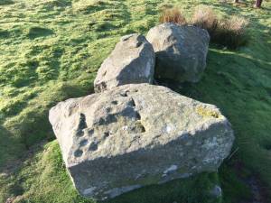 |
| Image 7 ID | 4916 Click image to enlarge |
| Image 7 Description | The stone setting is a surviving section of a larger structural complex which has been quarried away. Levelled platforms may mark the location of timber structures. | 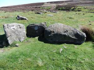 |
| Image 8 ID | 4913 Click image to enlarge |
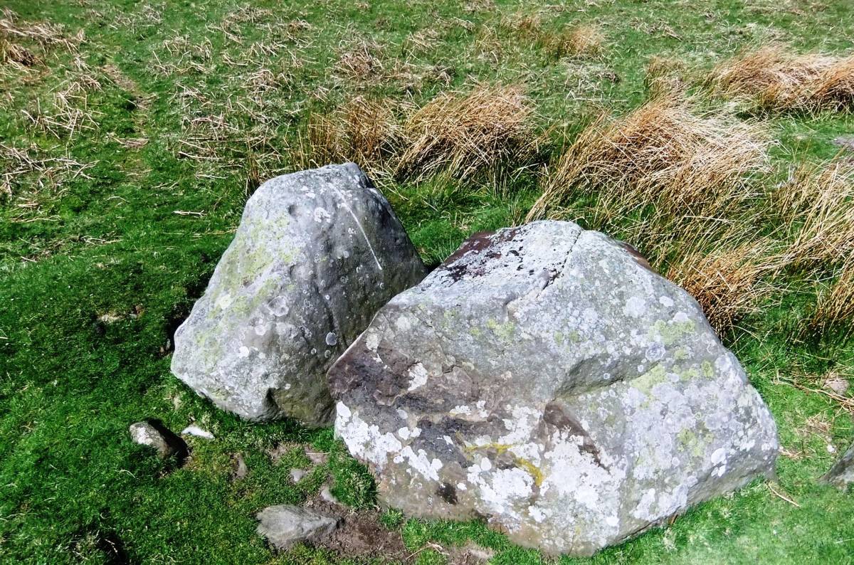
| Image 8 Description | Cup and ring marked rock at Scale Knoll. | 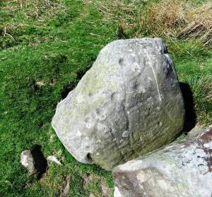 |
| Image 9 ID | 4914 Click image to enlarge |
| Image 9 Description | Cup and ring marked rock at Scale Knoll is located on the bank of a later enclosure. | 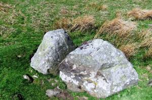 |
| Image 10 ID | 4899 Click image to enlarge |
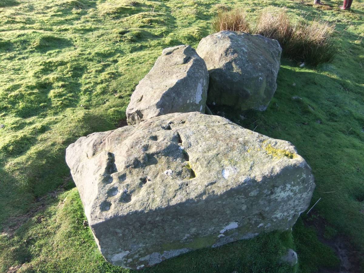
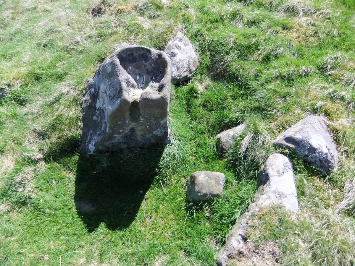
| Image 10 Description | Cup and ring marked rock originally earthfast but set on edge to be broken up with wedges as masonry stone, but thankfully spared. | 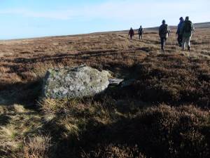 |
| Image 11 ID | 4917 |
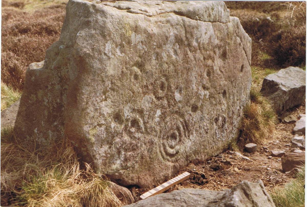
| Image 11 Description | The same cup and ring marked rock photographed by Stan Beckensall for The Rock Art of Co Durham,1998. |  |
| Image 12 ID | 4903 |
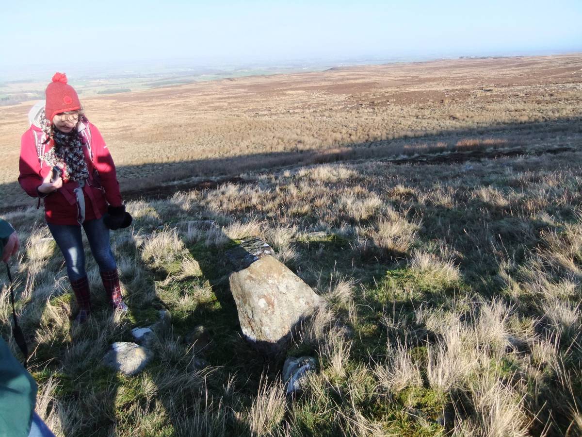
| Image 12 Description | Eel Hill from the small standing 'altar'rock | 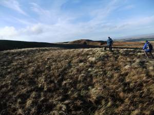 |
| Image 13 ID | 4904 |
| Image 13 Description | Jackie examines the 'altar' rock |  |
| Image 14 ID | 4923 |
| Image 14 Description | The Altar rock. | 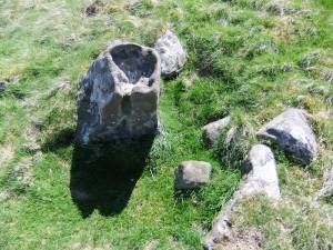 |
| Image 15 ID | 4905 |
| Image 15 Description | Eel Hill from the east side of Osmonds Gill | 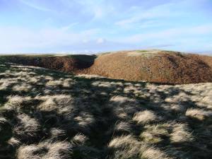 |
| Image 16 ID | 4918 |
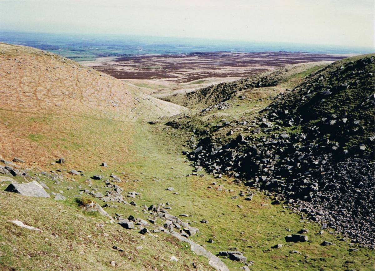
| Image 16 Description | Osmond's Gill. See separate record for further details of this feature. | 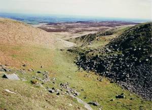 |
| Image 17 ID | 4919 |
| Image 17 Description | Cup and ring marked rock in Osmond's Gill | 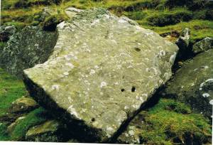 |
| Image 18 ID | 4922 |
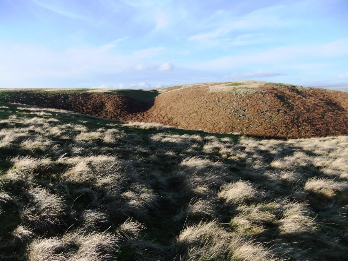
| Image 18 Description | The How Tallon Ridge in winter. |  |
| Image 19 ID | 4906 |
| Image 19 Description | Cup and ring site on Eel Hill | 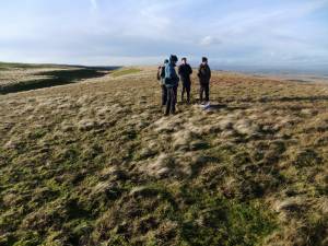 |
| Image 20 ID | 4907 |
| Image 20 Description | The cup and ring marked rock today |  |
| Image 21 ID | 4930 |
| Image 21 Description | Extract from Tom Gledhill's survey of the Rock Art, Stone Ring and other archaeological Sites centred at Osmond's Gill annotated to show the alignment between the major axis of the ellipsoid stone setting at the head of Osmond's Gill and the basin or post slot on the Eel Hill cup and ring marked rock. | 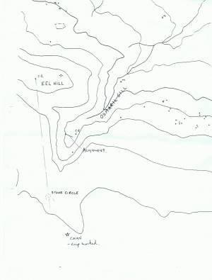 |
| Image 22 ID | 4908 |
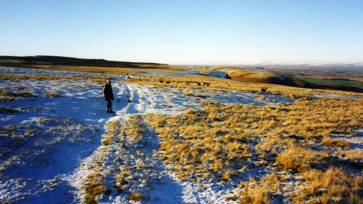
| Image 22 Description | Walking westward on Eel Hill | 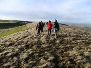 |
| Image 23 ID | 4909 |
| Image 23 Description | Small boulder of Shap Granite on Eel Hill | 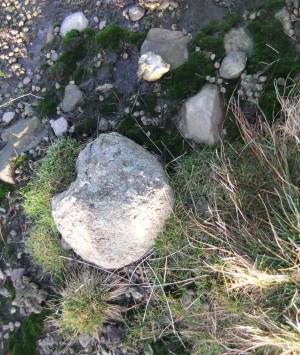 |
| Image 24 ID | 4910 |
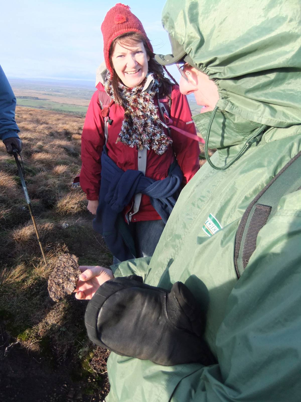
| Image 24 Description | Fragment of the Shap Erratic, John explains the crystalline structure and characteristic large pink crystals of Feldspar. |  |
| Image 25 ID | 4924 |
| Image 25 Description | Fragment of the Shap Erratic showing the crystalline structure and characteristic large pink crystals of Feldspar. | 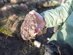 |
| Image 26 ID | 4925 |
| Image 26 Description | How Tallon round cairn. | 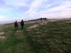 |
| Image 27 ID | 4926 |
| Image 27 Description | How Tallon Round Cairn. |  |
| Image 28 ID | 4929 |
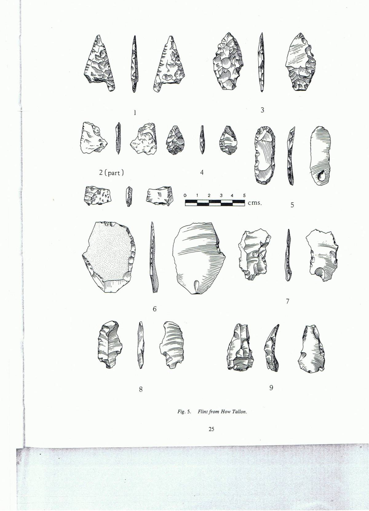
| Image 28 Description | Lithic finds from How Tallon. Coggins,D. and Clews,S.1980. 'Archaeology in the Bowes Museum.' Trans. of the Architectural and Archaeological Society of Durham and Northumberland. New Series. 5, 17-30. |  |
| Image 29 ID | 4928 |
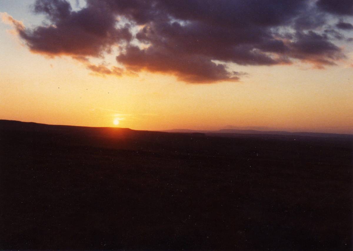
| Image 29 Description | Sunset over Stainmore from How Tallon | 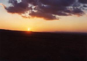 |
| Image 30 ID | 4927 |
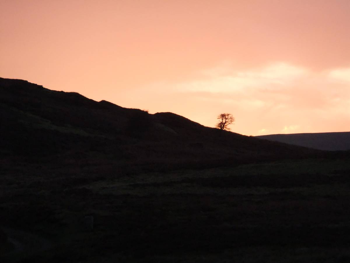
| Image 30 Description | Final rays of the sun. Barningham Low Moor. The end of the walk. | 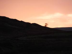 |