|
| *****SWAAG_ID***** | 445 |
| Date Entered | 31/01/2012 |
| Updated on | 07/04/2012 |
| Recorded by | Tim Laurie |
| Category | Earthworks |
| Record Type | Archaeology |
| SWAAG Site Name | |
| Site Type | |
| Site Name | |
| Site Description | |
| Site Access | Public Access Land |
| Record Date | 01/01/2005 |
| Location | Coverdale Head |
| Civil Parish | Carlton Highdale |
| Brit. National Grid | SD 986 756 |
| Altitude | 500m |
| Geology | West facing escarpment of the Main Limestone |
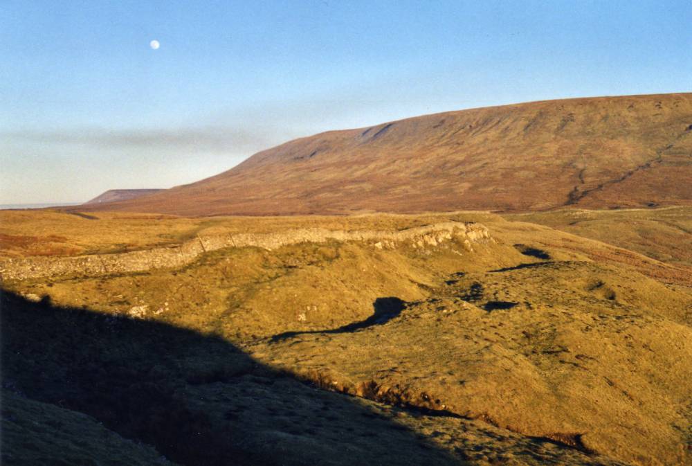
| Record Name | Tor Dike. Winter evening moonrise. |
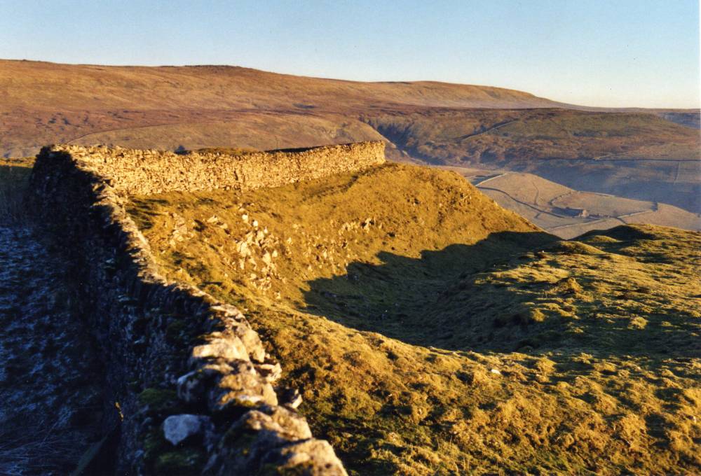
| Record Description | Linear earthwork interpreted as a boundary between post roman polities. |
| Dimensions | See photographs |
| Geographical area | |
| Species | |
| Scientific Name | |
| Common / Notable Species | |
| Tree and / or Stem Girth | |
| Tree: Position / Form / Status | |
| Tree Site ID | 0 |
| Associated Site SWAAG ID | 0 |
| Additional Notes | So far as I am aware, this linear earthwork has not been securely dated. I am open to correction! |
| Image 1 ID | 2203 Click image to enlarge |
| Image 1 Description | Tor Dike and moon rise over Great Whernside |  |
| Image 2 ID | 2204 Click image to enlarge |
| Image 2 Description | Tor Dike |  |
| Image 3 ID | 2205 Click image to enlarge |
| Image 3 Description | Tor Dike | 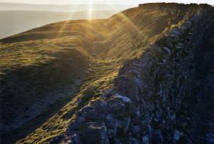 |