|
| *****SWAAG_ID***** | 460 |
| Date Entered | 20/02/2012 |
| Updated on | 20/02/2012 |
| Recorded by | Tim Laurie |
| Category | Burnt Mound |
| Record Type | Archaeology |
| SWAAG Site Name | |
| Site Type | |
| Site Name | |
| Site Description | |
| Site Access | Private |
| Record Date | 19/02/2012 |
| Location | Muker Side |
| Civil Parish | Muker |
| Brit. National Grid | SD 90285 97376 |
| Altitude | 363m |
| Geology | Drift over Middle Limestone |
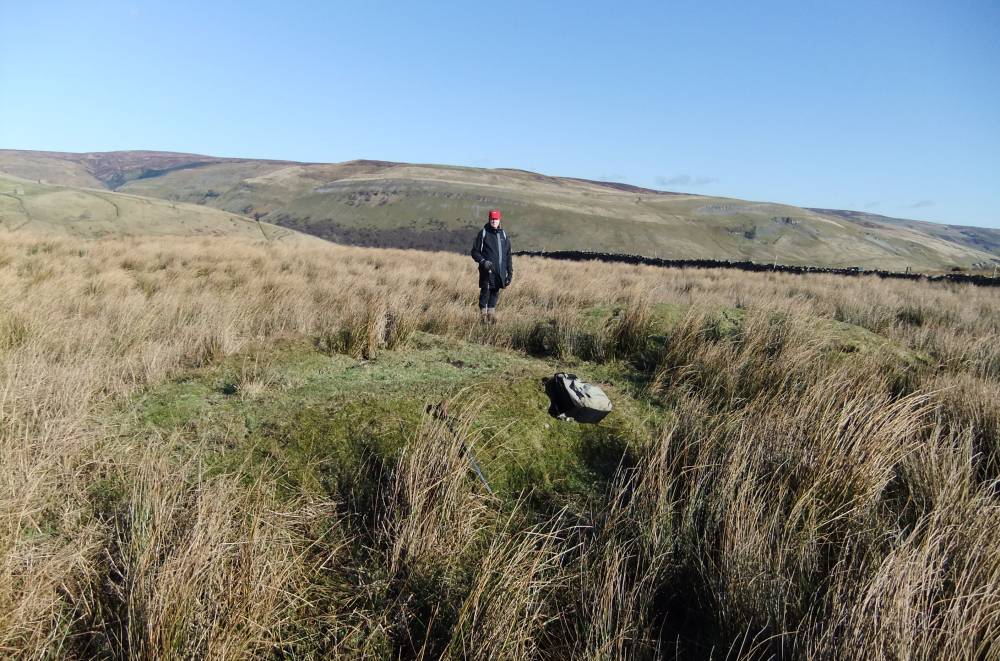
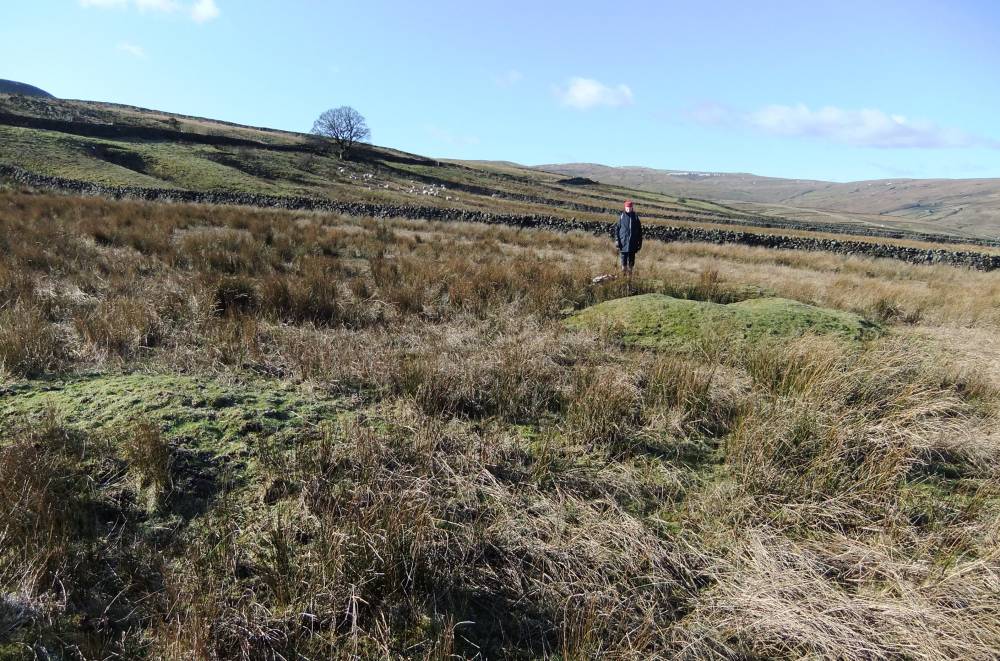
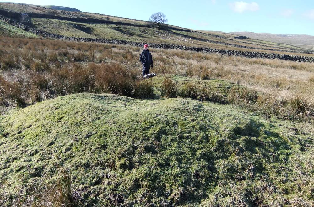
| Record Name | Muker Side. Two burnt mounds in marsh north of High Loaning. |
| Record Description | Two burnt mounds in marsh.
The first of these burnt mounds is clearly visible from the Lane as a prominent turf covered mound in rushy wet ground some 10m * 6m and .75m high above present marshy ground surface. It is of the characteristic double hump form so characteristic of burnt mounds, with visible burnt stone. Slightly reduced by quarrying but generally undisturbed. The location of the central trough is marked by rushes.
The second burnt mound is just 20m to the east of site one. This site is some 6m*3m and is probably buried below marsh. Site Two is today only visible as a very low mound, by vegetation change and by the presence of much burnt stone in molehills. |
| Dimensions | Site 1: 10m*6m. Site 2:6m*3m and see photographs |
| Geographical area | |
| Species | |
| Scientific Name | |
| Common / Notable Species | |
| Tree and / or Stem Girth | |
| Tree: Position / Form / Status | |
| Tree Site ID | 0 |
| Associated Site SWAAG ID | 0 |
| Additional Notes | These two burnt mounds are the most westerly burnt mounds of the total of 63No Burnt Mounds recorded to date in the catchment of the Swale.
These two sites extends the range of the seasonal transhumant pastoralist communities who are belived to have used these enigmatic sites which are best described as prehistoric saunas. Excavated sites in the NE Pennines have been C14 dated to the period 2400-1400BC, see Laurie 2003. |
| Image 1 ID | 2285 Click image to enlarge |
| Image 1 Description | Site1 |  |
| Image 2 ID | 2286 Click image to enlarge |
| Image 2 Description | Site 2 in foreground, Site 2 in mid distance. | 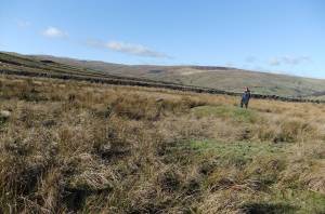 |
| Image 3 ID | 2287 Click image to enlarge |
| Image 3 Description | Site 2 in foreground, Site 2 in mid distance. |  |
| Image 4 ID | 2288 Click image to enlarge |
| Image 4 Description | Site 1 |  |
| Image 5 ID | 2289 Click image to enlarge |
| Image 5 Description | Burnt stone fragments, Site 1. | 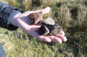 |
| Image 6 ID | 2291 Click image to enlarge |
| Image 6 Description | Site 1. View towards High Loaning. | 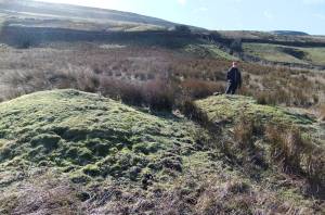 |
| Image 7 ID | 2290 Click image to enlarge |
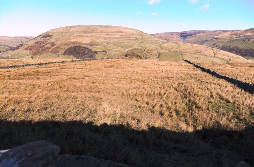
| Image 7 Description | The marsh and burnt mound sitesas first recognised from High Loaning. | 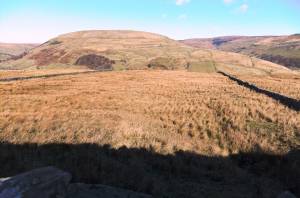 |