|
| *****SWAAG_ID***** | 458 |
| Date Entered | 17/02/2012 |
| Updated on | 17/02/2012 |
| Recorded by | Ric Carter |
| Category | Burial Mounds and Cairns |
| Record Type | Archaeology |
| SWAAG Site Name | |
| Site Type | |
| Site Name | |
| Site Description | |
| Site Access | Public Access Land |
| Record Date | 16/02/2012 |
| Location | Brownsey Moor |
| Civil Parish | Melbecks |
| Brit. National Grid | SD 96869 98791 |
| Altitude | |
| Geology | |
| Record Name | Stone Setting |
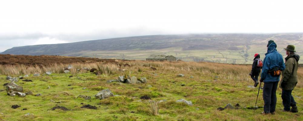
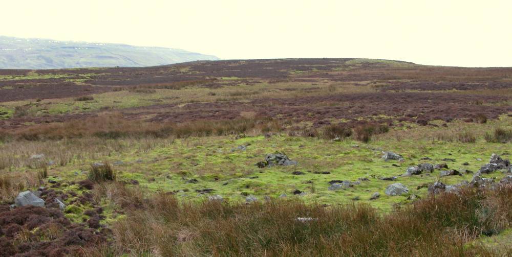
| Record Description | A well defined, ovoid, stone setting approx 20m x 10m with central cairn and two short lengths of walling. Associated with the moorland field system, of probable funerary purpose and attributed to the late Bronze Age/ early Iron age periods. The site is immediately below the much later mine level and spoil heap. |
| Dimensions | as above |
| Geographical area | |
| Species | |
| Scientific Name | |
| Common / Notable Species | |
| Tree and / or Stem Girth | |
| Tree: Position / Form / Status | |
| Tree Site ID | 0 |
| Associated Site SWAAG ID | 0 |
| Additional Notes | |
| Image 1 ID | 2282 Click image to enlarge |
| Image 1 Description | Brownsey Moor Stone Setting |  |
| Image 2 ID | 2283 Click image to enlarge |
| Image 2 Description | Brownsey Moos Stone Setting |  |