|
| *****SWAAG_ID***** | 461 |
| Date Entered | 20/02/2012 |
| Updated on | 01/03/2012 |
| Recorded by | Mike Walton |
| Category | Vernacular Record |
| Record Type | General HER |
| SWAAG Site Name | |
| Site Type | |
| Site Name | |
| Site Description | |
| Site Access | Public Footpath |
| Record Date | 12/02/2012 |
| Location | Between Gunnerside and Rampsholme |
| Civil Parish | Muker |
| Brit. National Grid | SD 928 979 |
| Altitude | 800ft |
| Geology | Glacial drift over Middle Limestone |
| Record Name | Field barns between Gunnerside and Rampsholme |
| Record Description | A selection of field barns which are such a characteristic feature of this part of Swaledale as photographed from the footpath on a walk from the Swale bridge at Gunnerside to Rampsholme. Outward along the river bank, via Ivelet, Ivelet Bridge and river bank. Return along the higher path via Calvert Houses to Ivelet thence to Gunnerside village. |
| Dimensions | |
| Geographical area | |
| Species | |
| Scientific Name | |
| Common / Notable Species | |
| Tree and / or Stem Girth | |
| Tree: Position / Form / Status | |
| Tree Site ID | 0 |
| Associated Site SWAAG ID | 0 |
| Additional Notes | The photographs are in the order in which they were seen during the walk. Barns 1 to 6 on the outward journey, barns 7 to 16 on the return journey. |
| Image 1 ID | 2292 Click image to enlarge |
| Image 1 Description | Barn 1, in field above Marble Scar, SD 94212 98108. | 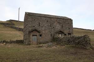 |
| Image 2 ID | 2293 Click image to enlarge |
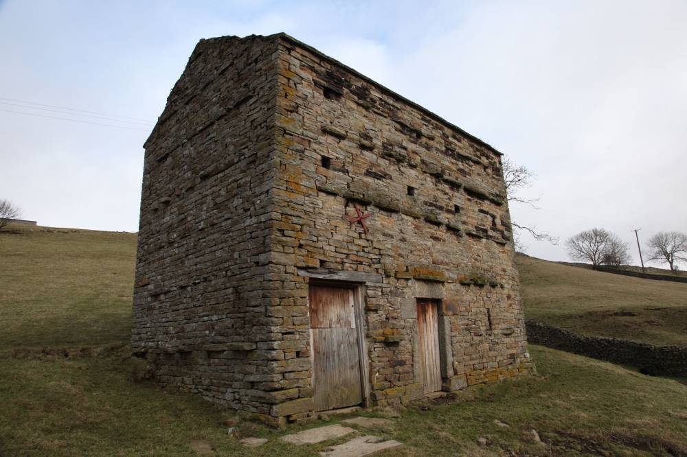
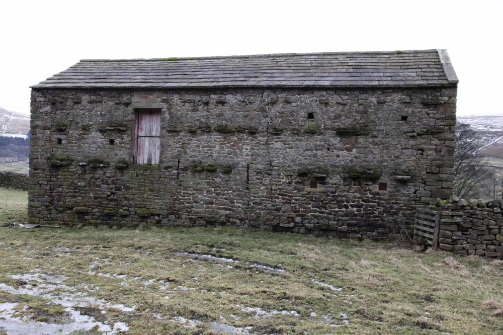
| Image 2 Description | Barn 2, beside footpath at SD 93992 98078. | 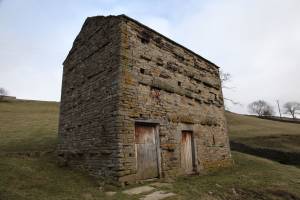 |
| Image 3 ID | 2294 Click image to enlarge |
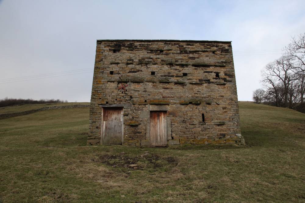
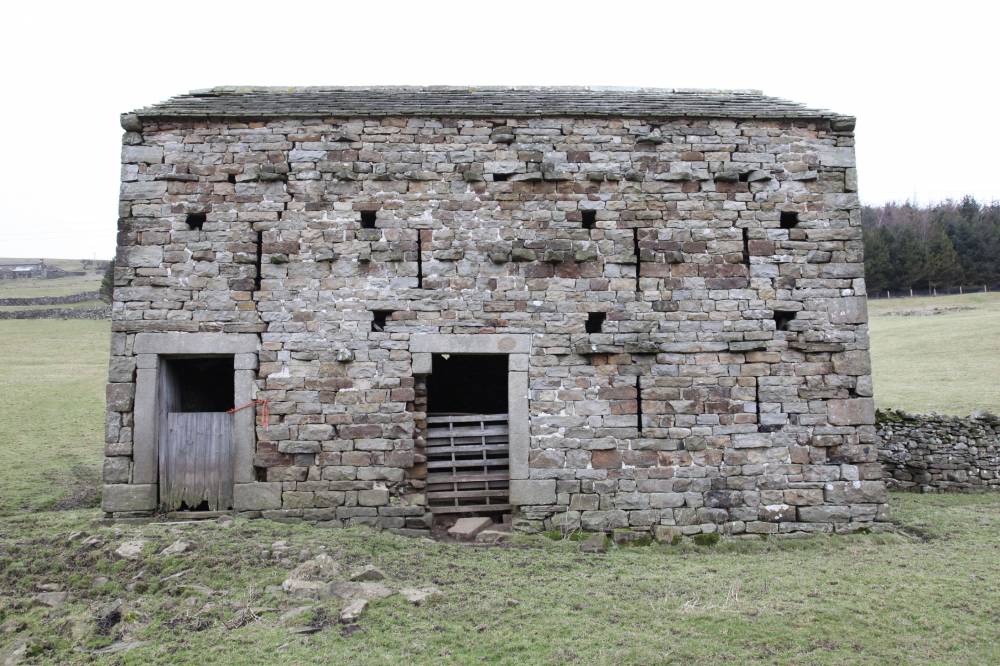
| Image 3 Description | Barn 2, front view. | 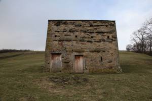 |
| Image 4 ID | 2295 Click image to enlarge |
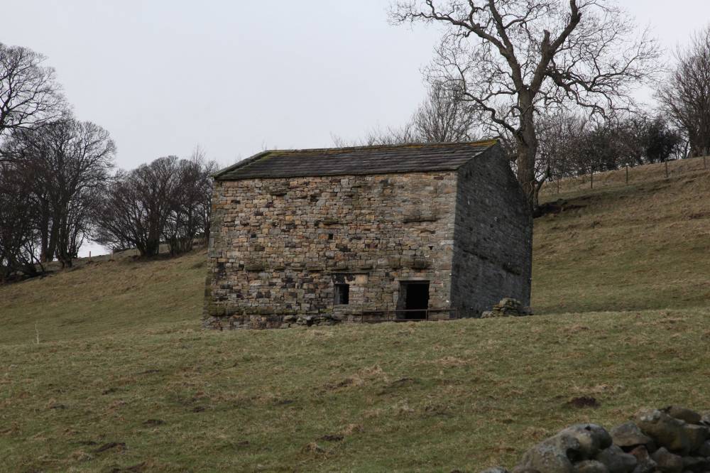
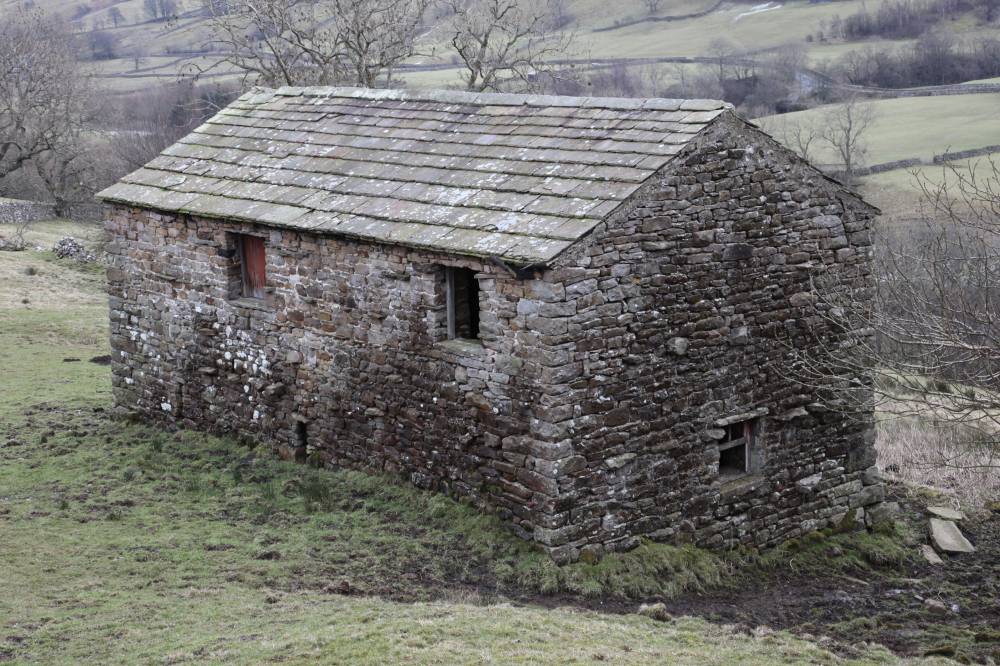
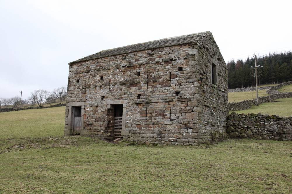
| Image 4 Description | Barn 3, in field to north of footpath at SD93875 98133. | 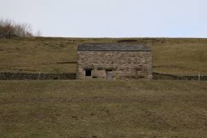 |
| Image 5 ID | 2297 Click image to enlarge |
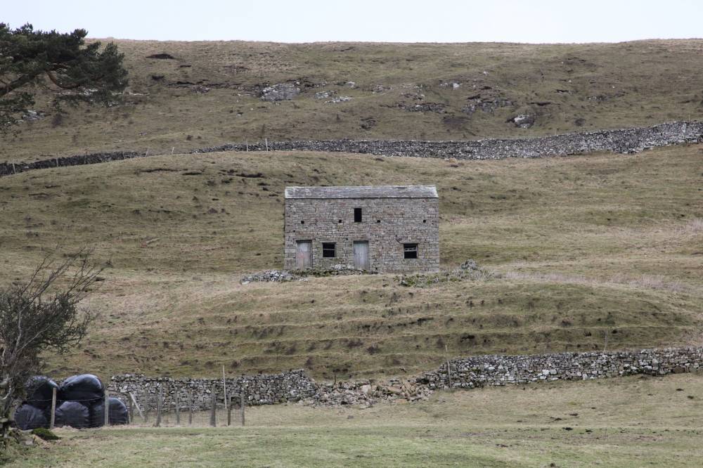
| Image 5 Description | Barn 4, in field to north of path at SD 93080 97800. | 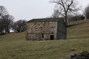 |
| Image 6 ID | 2299 Click image to enlarge |
| Image 6 Description | Barn 5. |  |
| Image 7 ID | 2300 Click image to enlarge |
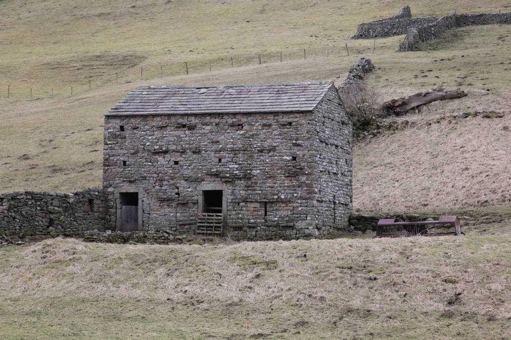
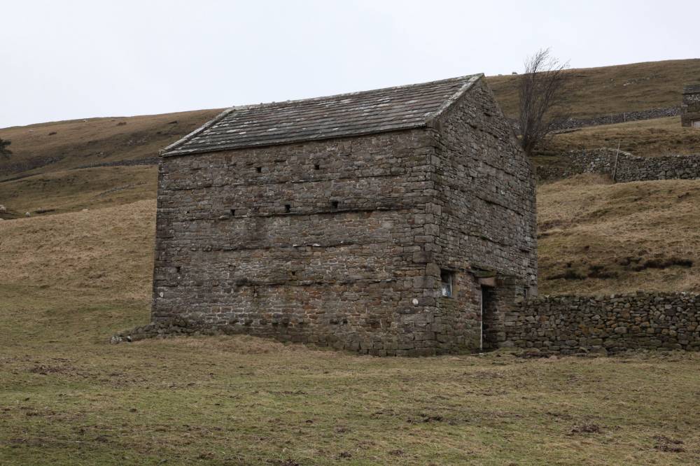
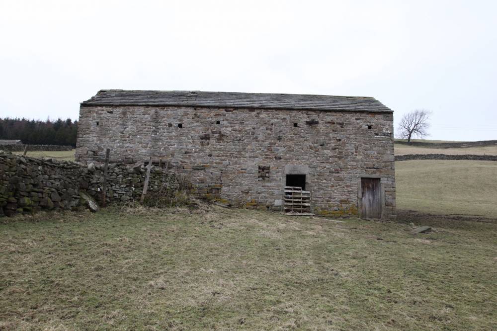
| Image 7 Description | Barn 6, in field to north of path at SD 91935 97855 | 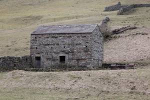 |
| Image 8 ID | 2301 Click image to enlarge |
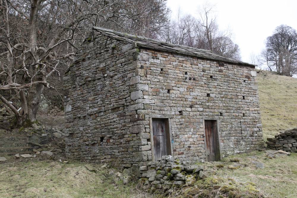
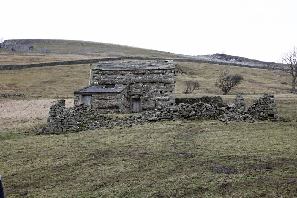
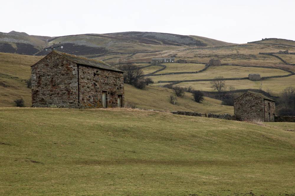
| Image 8 Description | Barn 7 and garth at SD 92070 97933 | 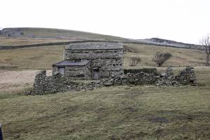 |
| Image 9 ID | 2302 Click image to enlarge |
| Image 9 Description | Barn 7, closer view. | 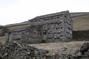 |
| Image 10 ID | 2304 Click image to enlarge |
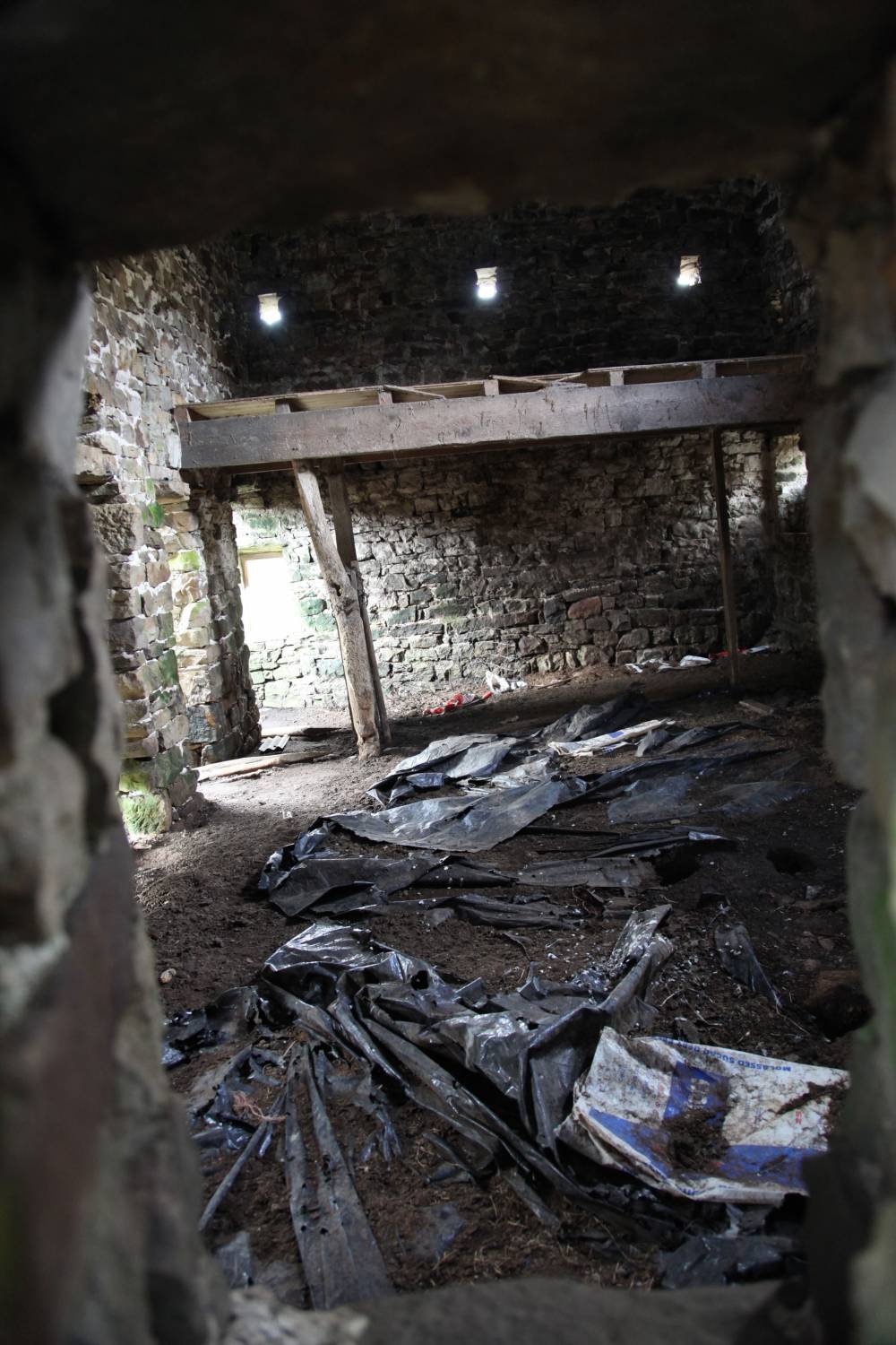
| Image 10 Description | Barn 7, interior view. | 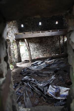 |
| Image 11 ID | 2303 |
| Image 11 Description | Stone water trough beside barn 7. | 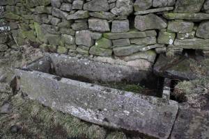 |
| Image 12 ID | 2305 |
| Image 12 Description | Old cottage at Calvert Houses, SD 92495 97985. | 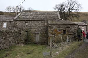 |
| Image 13 ID | 2306 |
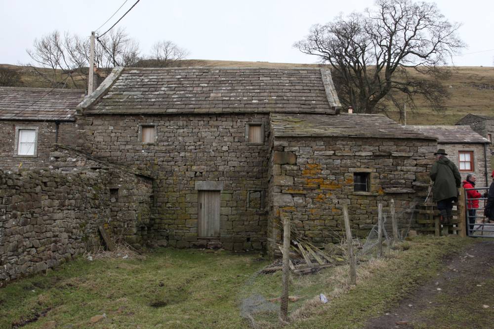
| Image 13 Description | Barn 8, large barn at Calvert Houses. |  |
| Image 14 ID | 2307 |
| Image 14 Description | Barn 9, in distance to north of footpath. |  |
| Image 15 ID | 2308 |
| Image 15 Description | Barn 10, to north of footpath. | 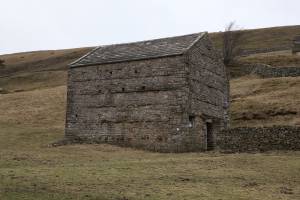 |
| Image 16 ID | 2309 |
| Image 16 Description | Barn 11, adjacent to footpath |  |
| Image 17 ID | 2310 |
| Image 17 Description | Barn 12. |  |
| Image 18 ID | 2311 |
| Image 18 Description | Barn 12, alternative view. | 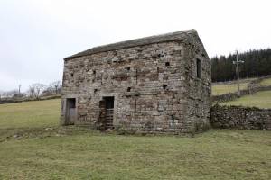 |
| Image 19 ID | 2312 |
| Image 19 Description | Barn 13. |  |
| Image 20 ID | 2313 |
| Image 20 Description | Barn 14. | 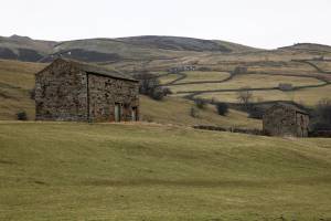 |
| Image 21 ID | 2314 |
| Image 21 Description | Barn 15. | 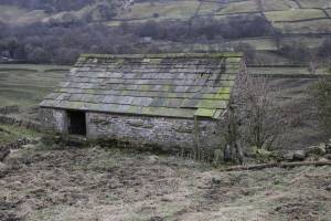 |