|
| *****SWAAG_ID***** | 653 |
| Date Entered | 08/12/2012 |
| Updated on | 08/12/2012 |
| Recorded by | Tim Laurie |
| Category | Tree Site Record |
| Record Type | Botanical HER |
| SWAAG Site Name | |
| Site Type | |
| Site Name | |
| Site Description | |
| Site Access | Public Footpath |
| Record Date | 05/12/2012 |
| Location | Arkngarthdale. The Moor Edge above Castle Farm |
| Civil Parish | Reeth |
| Brit. National Grid | NZ 03034 01176 |
| Altitude | 253m |
| Geology | Drift over the Middle Limestone. |
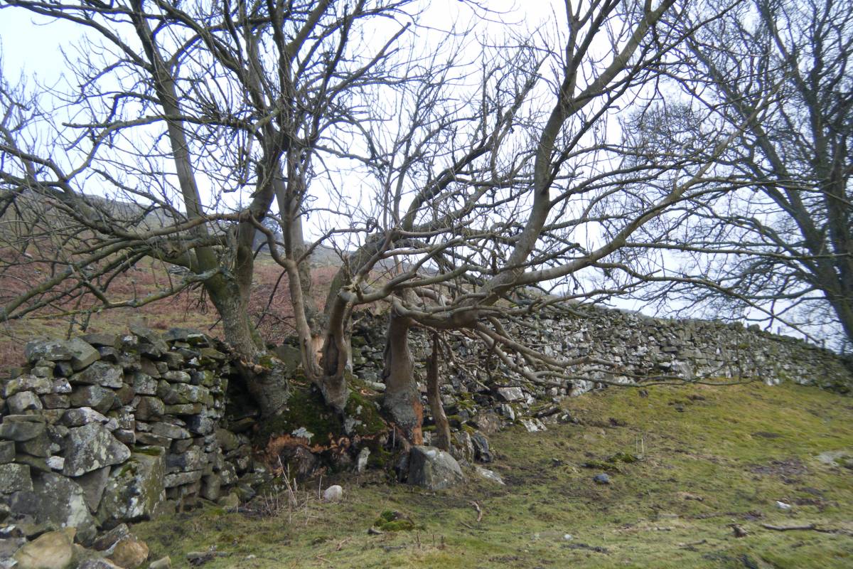
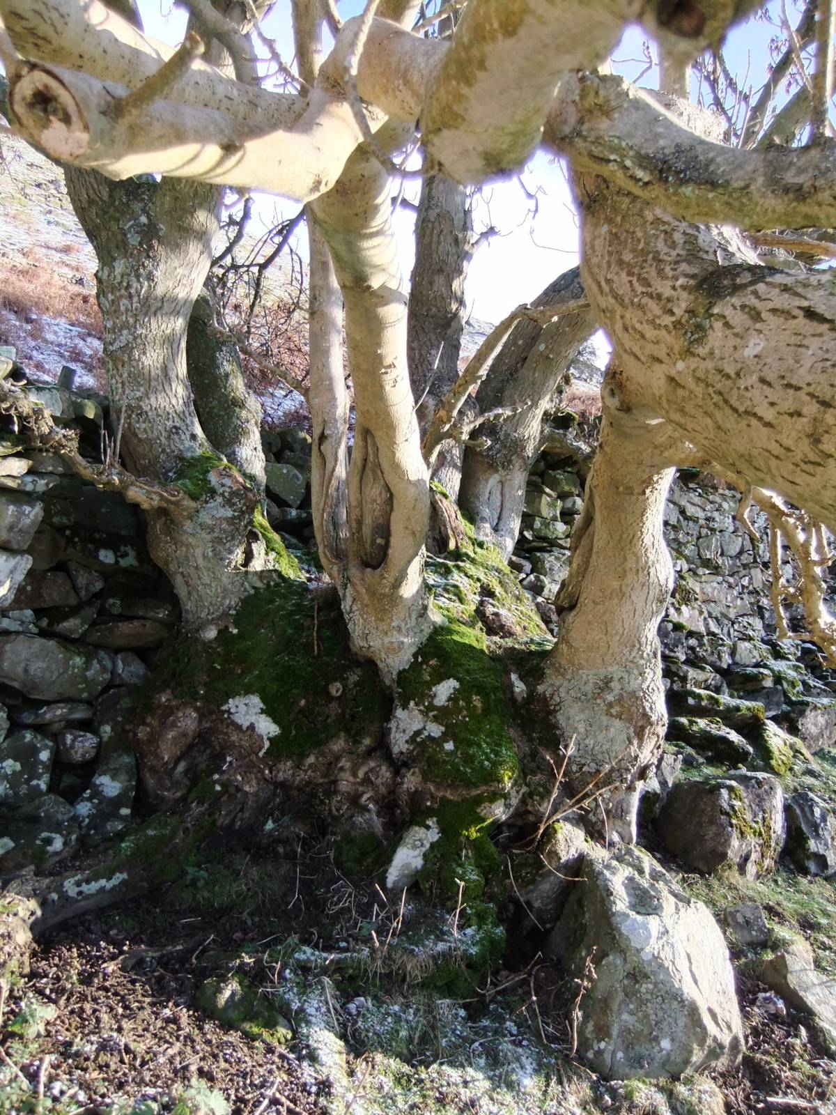
| Record Name | Ancient ash coppard at Castle Farm. |
| Record Description | This fine old ash tree is inconspicuous except when seen at close hand. A number of relatively minor on growth ash trunks rise from a fat stub trunk of very large proportions,17'6'' (5.6m) girth. This tree is not really a coppice or a pollard, hence the term coppard. The ground has been eroded from the trunk leaving it exposed as a stub.
As a coppice, this tree provided a useful crop of ash timber or firewood at intervals of about 40 years and, as the wall swerves to avoid the tree was already ancient when the 17C dry stone field wall seperating pastures from the open fell was constructed.
|
| Dimensions | 17'6'' (5.6m) girth |
| Geographical area | Swaledale North Bank Catchment |
| Species | ash |
| Scientific Name | Fraxinus excelsior |
| Common / Notable Species | |
| Tree and / or Stem Girth | 5.6m |
| Tree: Position / Form / Status | Coppard |
| Tree Site ID | 0 |
| Associated Site SWAAG ID | 0 |
| Additional Notes | An early trackway rises from two late prehistoric house platforms (to be recorded seperately) to pass close by this ash tree. The dry stone wall was built on and the ash tree grows on an ancient lynchetted field boundary, the uppermost element of an early lynchetted field system which predates the present dry stone walled fields of Castle Farm. |
| Image 1 ID | 3818 Click image to enlarge |
| Image 1 Description | This photo was taken in February 2010 when damage from starving rabbits was evident. Today, the threat to ancient ash trees from ash die back fungus is real and old trees as this must be recorded before they are lost |  |
| Image 2 ID | 3819 Click image to enlarge |
| Image 2 Description | | 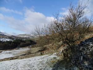 |
| Image 3 ID | 3820 Click image to enlarge |
| Image 3 Description | | 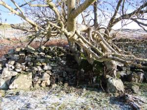 |
| Image 4 ID | 3821 Click image to enlarge |
| Image 4 Description | |  |