|
| *****SWAAG_ID***** | 665 |
| Date Entered | 23/12/2012 |
| Updated on | 23/12/2012 |
| Recorded by | Tim Laurie |
| Category | Geological Record |
| Record Type | Geomorphology |
| SWAAG Site Name | |
| Site Type | |
| Site Name | |
| Site Description | |
| Site Access | Public Access Land |
| Record Date | 16/12/2012 |
| Location | Cotherstone Moor. Shacklesborough. |
| Civil Parish | Cotherstone |
| Brit. National Grid | NY 9085 1708 |
| Altitude | 454m |
| Geology | Cotherstone Syncline. Namurian, Millstone Grit. See BGS 1:50000 series Sheet 31. Brough under-Stainmore. Isolated 'nunatak' type hill capped with 'The Botany Grit.' |
| Record Name | Cotherstone Moor. Shacklesborough Hill. Isolated 'nunatak-like' hill. |
| Record Description | Shacklesborough and Goldsporough are two isolated flat summited distinctive and distant landmarks when viewed from high ground above Arkengarthdale across the glaciated Forest of Stainmore. These two hillocks are prominent features within a very fine and wild Pennine Moorland Landscape which at the head of Baldersdale with a sparce distribution of very interesting Early Bronze Age sites which include a number of rock art sites on both sides of Baldersdale (See Beckensall and Laurie 1998 and the examples previously recorded on the SWAAG Database), the ring cairn on the summit of Goldsborough, a low but substantial round cairn on the summit of Shackelborough, an unenclosed settlement to the east of Goldsborough and several burnt mounds on the northern fells above the Balder (see Laurie 2003). This record is a preliminary account, as we were unable to cross two streams swollen with heavy rains to reach Goldsborough and to photograph the summit and the round cairn at close quarters at our first attempt via Crawlaw Hill. We shall return by a more direct route soon! |
| Dimensions | See photographs |
| Geographical area | |
| Species | |
| Scientific Name | |
| Common / Notable Species | |
| Tree and / or Stem Girth | |
| Tree: Position / Form / Status | |
| Tree Site ID | 0 |
| Associated Site SWAAG ID | 0 |
| Additional Notes | Despite the appearance of both Goldsborough and Shacklesborough having survived the glaciation as small 'islands' projecting above the Stainmore glacier,ie 'Nunataks', the presence of two erratic boulders perched on the summit of Goldsborough, one a Shap Granite the other a boulder of Borrowdale Volcanic ash originating from the Lake District or Eden Inlier, these two hills were clearly overtopped by the Stainmore glacier. The whole area of remote moorland, north of the A66 at the head of the north bank tributaries of the Tees, including Deepdale, Balderdale, and Lunedale is an area well worth exploring for all aspects of landscape history. |
| Image 1 ID | 3866 Click image to enlarge |
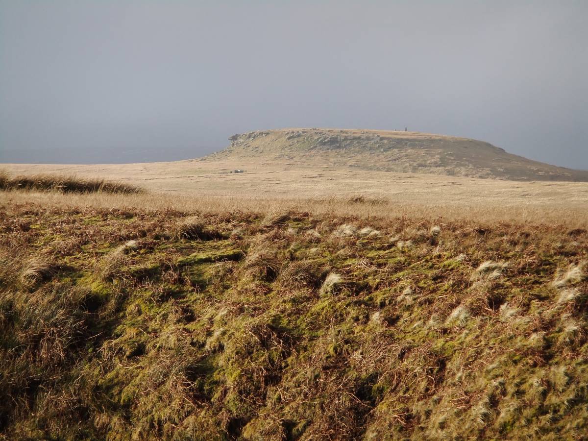
| Image 1 Description | Shacklesborough far across Mawman Sike from the Crawlaw Stone | 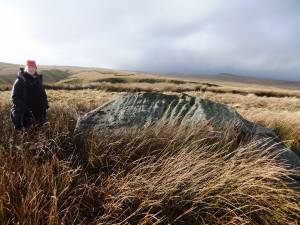 |
| Image 2 ID | 3874 Click image to enlarge |
| Image 2 Description | Shacklesborough Hill from Crawlaw Gill | 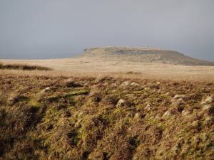 |
| Image 3 ID | 3876 Click image to enlarge |
| Image 3 Description | | 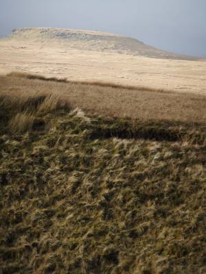 |
| Image 4 ID | 3872 Click image to enlarge |
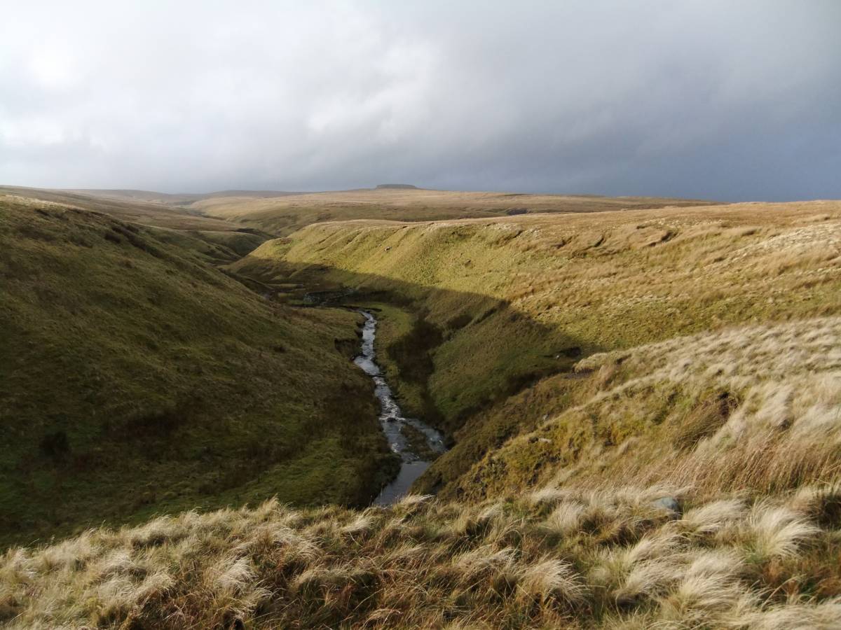
| Image 4 Description | Mawman Sike and Shacklesborough in the far diatance. |  |