|
| *****SWAAG_ID***** | 662 |
| Date Entered | 11/12/2012 |
| Updated on | 11/12/2012 |
| Recorded by | Tim Laurie |
| Category | Geological Record |
| Record Type | Geological HER |
| SWAAG Site Name | |
| Site Type | |
| Site Name | |
| Site Description | |
| Site Access | Public Footpath |
| Record Date | 23/06/2011 |
| Location | Semer Water Lake Edge |
| Civil Parish | Bainbridge |
| Brit. National Grid | SD 922 875 |
| Altitude | 250m |
| Geology | Two glacial erratic boulders of Carbiniferous Limestone at the Northern Edge of Semer Water Lake. |
| Record Name | Two glacial erratic boulders of Carbiniferous Limestone at the Northern Edge of Semer Water Lake. |
| Record Description | Semer Water is the remnant of a much more extensive post glacial lake formed until the River Bain breached the lateral moraine at the edge of the Howgill Ice and cut the pictureque river gorge above Bainbridge. (Kendall and Wroot, 1924 'Geology of Yorkshire',536/7). During the full glacial this glacial lake, then 3 miles wide and ice dammed by the Howgill Glacier extended for a distance of four miles further up Raydale,Cragdale and Bardale cutting the ice margin channelacross the NW shoulder of Addlebrough known as Hukermire Moss and also the ice margin channel at Harker Mire which seperates Addlebrough from The Stake Fell, both channels at an elevation of 375m. |
| Dimensions | See photos |
| Geographical area | |
| Species | |
| Scientific Name | |
| Common / Notable Species | |
| Tree and / or Stem Girth | |
| Tree: Position / Form / Status | |
| Tree Site ID | 0 |
| Associated Site SWAAG ID | 0 |
| Additional Notes | The peat infil to both Hukermire and Harkermire have been sampled for pollen by Ann Honeyman and her pollen reports at these sites have provided the basis for the understanding of the vegetational history of this area, see also SWAAG Record 661.
The prehistory of Semer Water Lake Edge and of the surrounding fells is introduced in more detail in SWAAG Record 661. |
| Image 1 ID | 3851 Click image to enlarge |
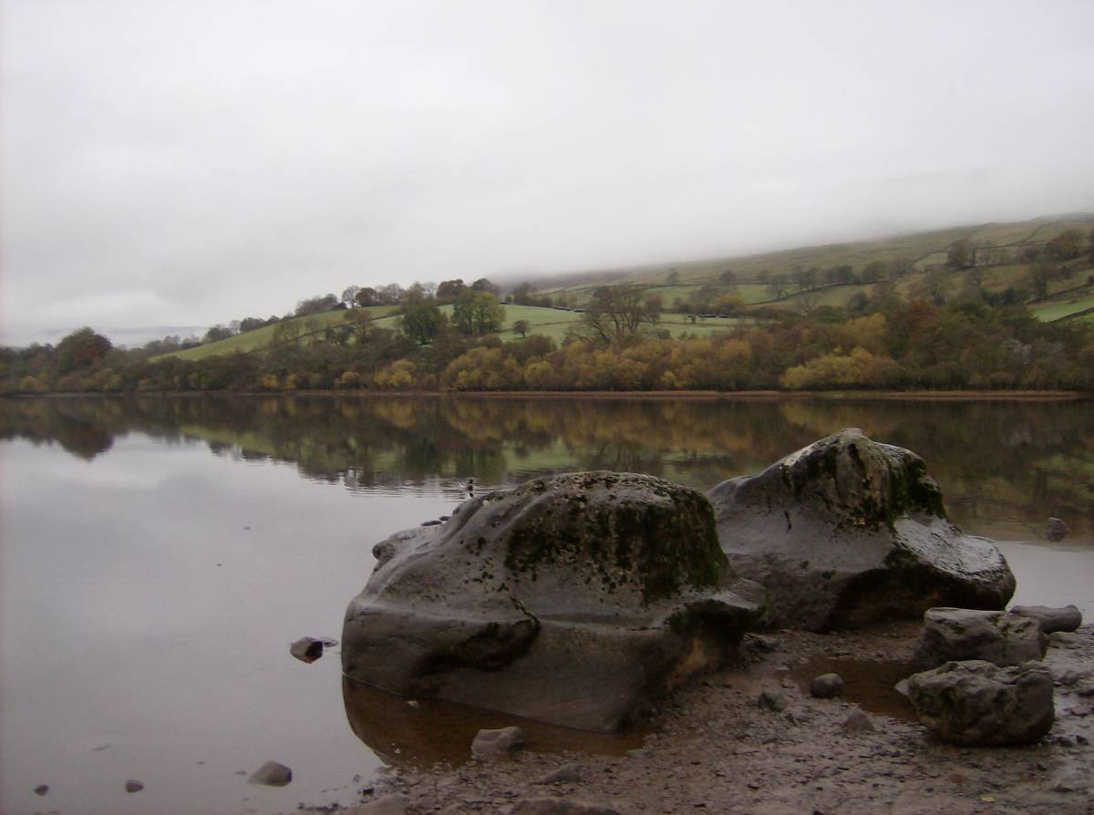
| Image 1 Description | A quiet afternoon at Semer Water. The two wave washed and scuptured, limestone glacial erratic boulders. | 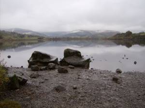 |
| Image 2 ID | 3852 Click image to enlarge |
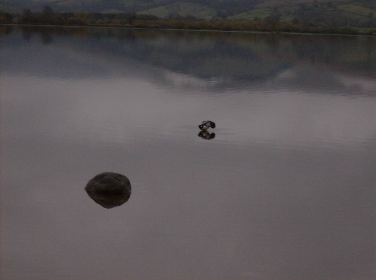
| Image 2 Description | View to the northern shore where a lake dwelling or crannog,its causeway and the bronze spearhead were found during dredging the river channel through the Lake. |  |
| Image 3 ID | 3853 Click image to enlarge |
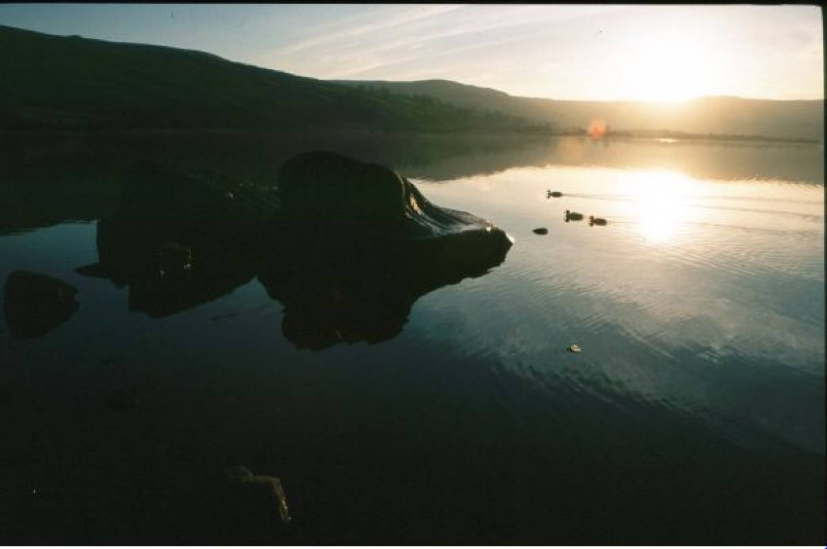
| Image 3 Description | A quiet afternoon at Semmer Water. NO power boats to disturb the ducks! | 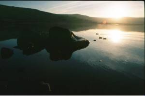 |
| Image 4 ID | 3854 Click image to enlarge |
| Image 4 Description | The North Shore.The alder and willow carr on the northern edge of Semer Water are little changed since prehistory. | 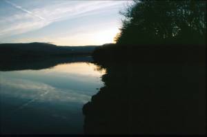 |
| Image 5 ID | 3855 Click image to enlarge |
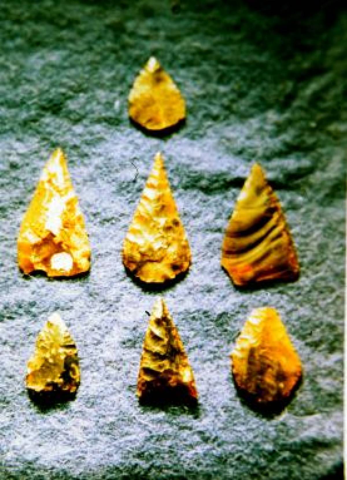
| Image 5 Description | Late prehistoric arrow points from the Lake Edge, on display at the Hawes Countryside Museum. |  |
| Image 6 ID | 3856 Click image to enlarge |
| Image 6 Description | Butchered animal bone. Finds of aurochs, wild horse, red deer etc from prehistoric hunter sites collected from around Semer Water over many years. Now in the Hawes Museum. | 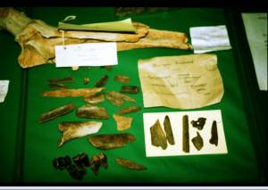 |
| Image 7 ID | 3857 Click image to enlarge |
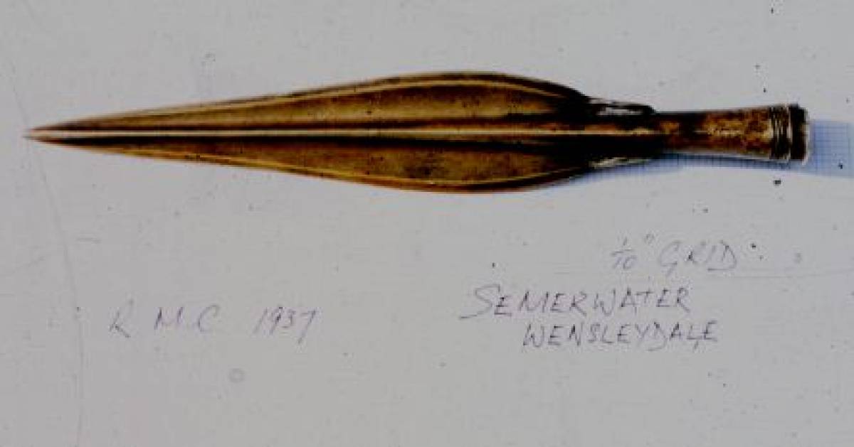
| Image 7 Description | The decorated basal looped spearpoint the Lake Edge, on display at the Hawes Countryside Museum. |  |
| Image 8 ID | 3858 Click image to enlarge |
| Image 8 Description | The lake edge. No power boats are launched here, only sailing dinghies. | 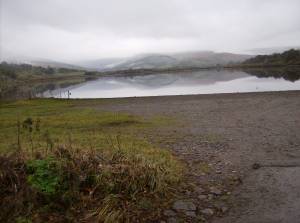 |
| Image 9 ID | 3859 Click image to enlarge |
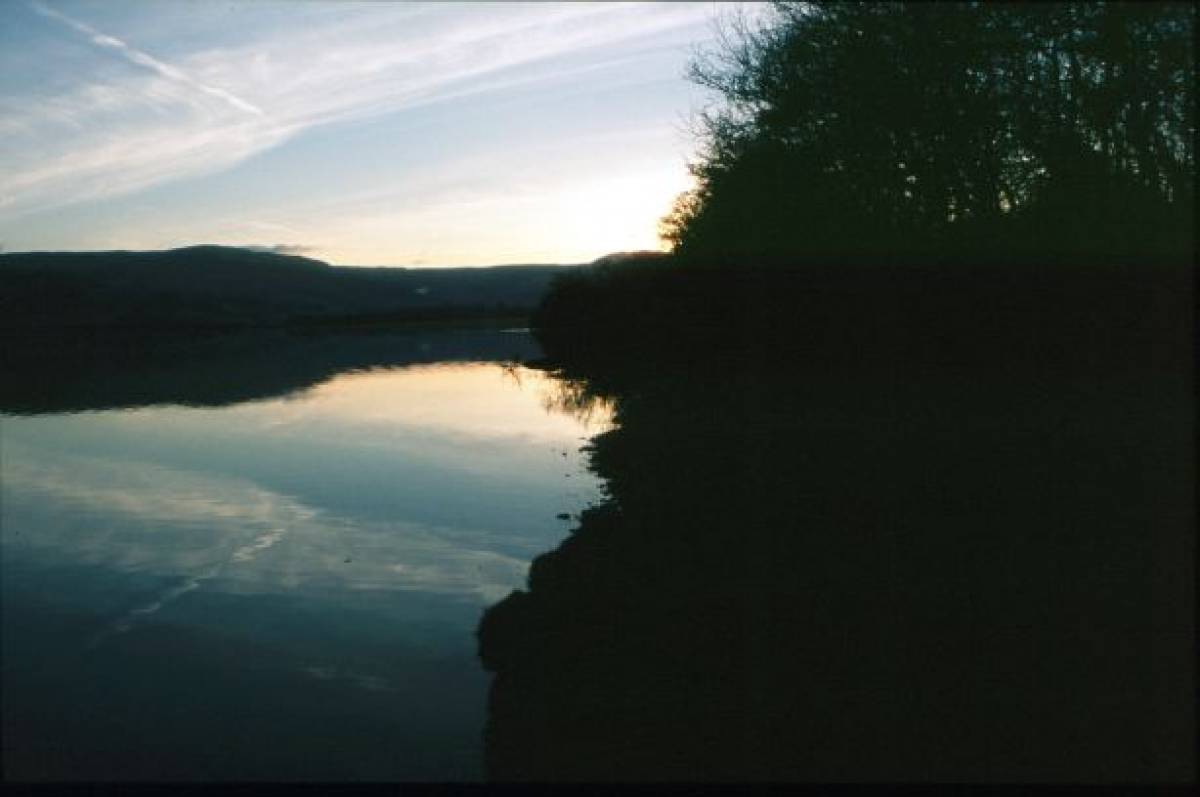
| Image 9 Description | A quiet evening at Semer Water. | 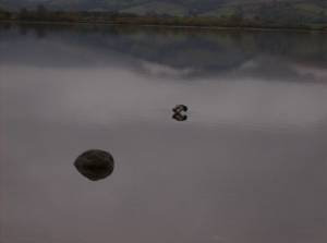 |