|
| *****SWAAG_ID***** | 664 |
| Date Entered | 23/12/2012 |
| Updated on | 23/12/2012 |
| Recorded by | Tim Laurie |
| Category | Geological Record |
| Record Type | Geomorphology |
| SWAAG Site Name | |
| Site Type | |
| Site Name | |
| Site Description | |
| Site Access | Public Access Land |
| Record Date | 16/12/2012 |
| Location | Cotherstone Moor. Crawlaw Gill. |
| Civil Parish | Cotherstone |
| Brit. National Grid | NY 9335 1660 |
| Altitude | 390m |
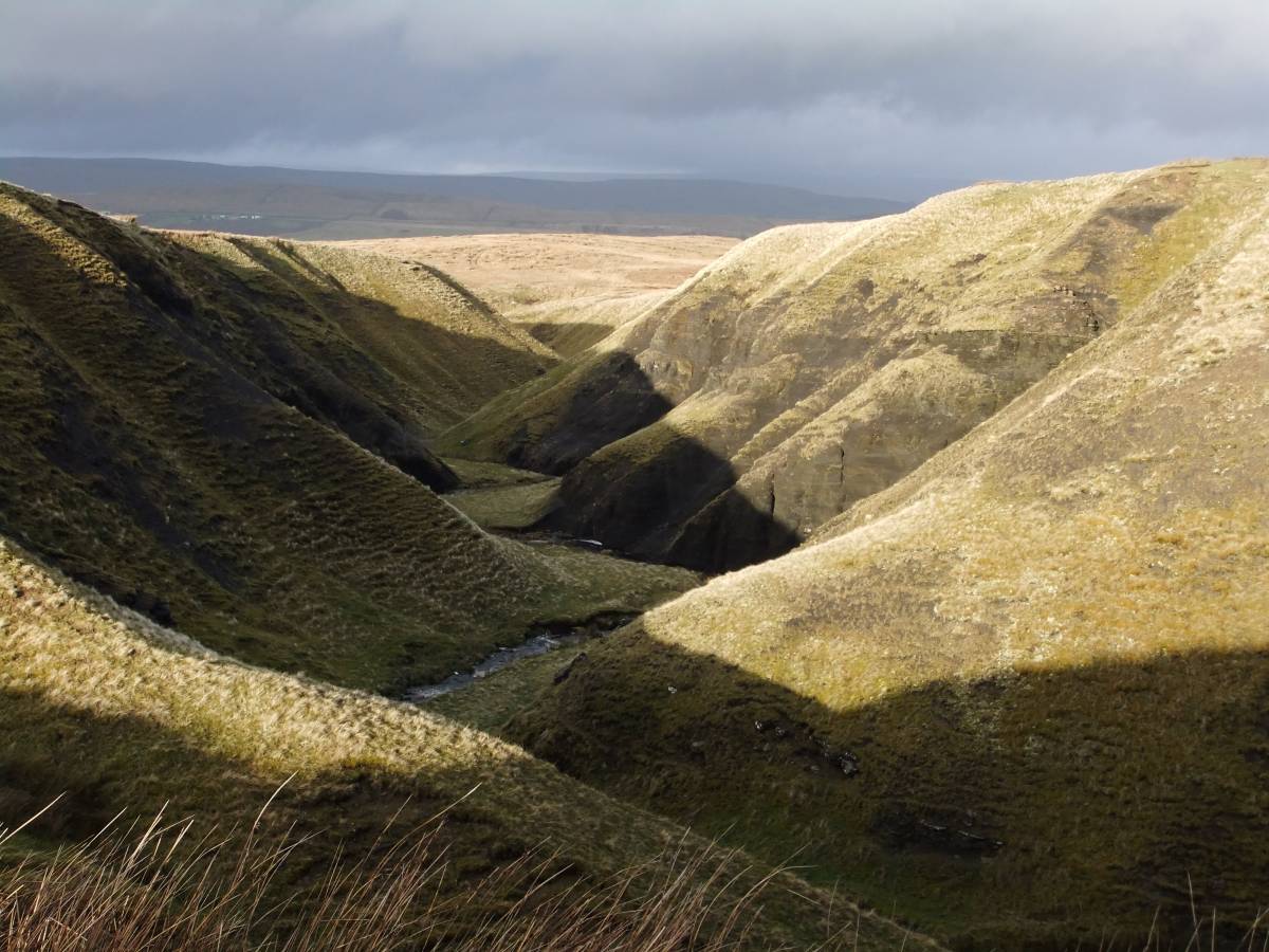
| Geology | Cotherstone Syncline. BGS Survey Sheet 31, Brough-under-Stainmore. Stream cut ravine with well defined interlocking spurs. |
| Record Name | Cotherstone Moor. Crawlaw Gill. The Cotherstone Syncline. Stream cut ravine with well defined interlocking spurs. |
| Record Description | The stream has cut a steep sided ravine, Crawlaw Gill, through thick beds of soft black siltstone and mudstone strata of Namurian Age above the West Stonesdale Limestone which is exposed lower down the Gill.
These strata are equivalent to similar thick black shales exposed in Mirk Fell Gill near Tan Hill Colliery, Arkengarthdale. |
| Dimensions | See photograph |
| Geographical area | |
| Species | |
| Scientific Name | |
| Common / Notable Species | |
| Tree and / or Stem Girth | |
| Tree: Position / Form / Status | |
| Tree Site ID | 0 |
| Associated Site SWAAG ID | 0 |
| Additional Notes | No trees or other vegetation can survive to enjoy great old age on these fast eroding shale cliffs, for a single exception see the isolated rowan in photo image no 3. This rowan is a sole survivor, the exposed roots of this rowan shows the rate of erosion of the shales and this tree will not, I expect live to reach old age. |
| Image 1 ID | 3877 Click image to enlarge |
| Image 1 Description | Crawlaw Gill. |  |
| Image 2 ID | 3878 Click image to enlarge |
| Image 2 Description | Crawlaw Gill Beck with small waterfalls over the West Stonesdale Limestone strata. | 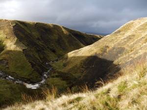 |
| Image 3 ID | 3879 Click image to enlarge |
| Image 3 Description | Isolated rowan. The exposed roots of this tree indicate rapid erosion of the soft black shales. | 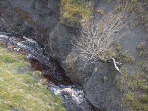 |
| Image 4 ID | 3880 Click image to enlarge |
| Image 4 Description | Isolated juniper in Crawlaw Gill. Large glaclial erratic sandstone boulders in the steam bed. | 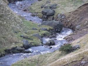 |
| Image 5 ID | 3881 Click image to enlarge |
| Image 5 Description | Sheep fold at the head of Crawlaw Gill. Shacklesborough in far distance. | 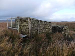 |