|
| *****SWAAG_ID***** | 660 |
| Date Entered | 10/12/2012 |
| Updated on | 10/12/2012 |
| Recorded by | Tim Laurie |
| Category | Burnt Mound |
| Record Type | Archaeology |
| SWAAG Site Name | |
| Site Type | |
| Site Name | |
| Site Description | |
| Site Access | Public Footpath |
| Record Date | 09/04/2006 |
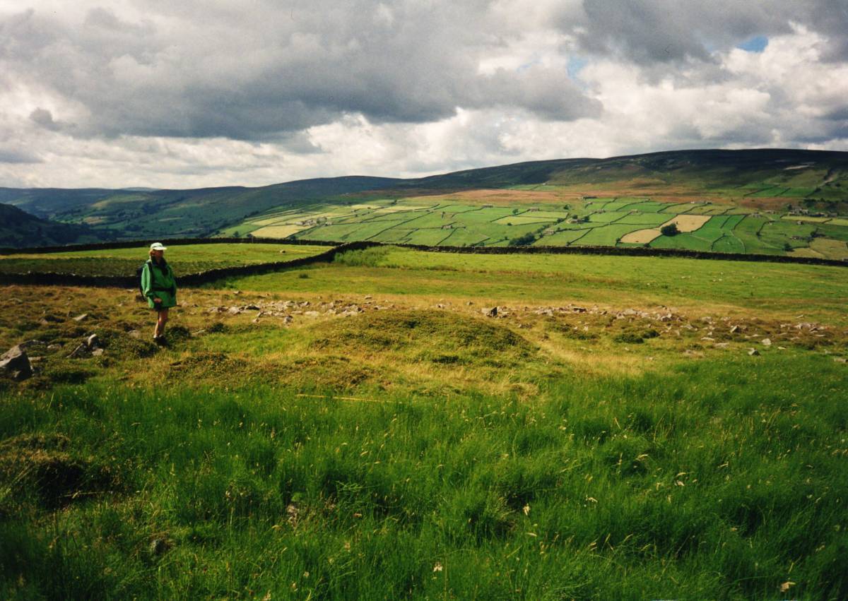
| Location | Whitaside Pasture |
| Civil Parish | Grinton |
| Brit. National Grid | SD 992 971 |
| Altitude | 375m |
| Geology | Spring rise below sandstone strata above the Middle Limestone. |
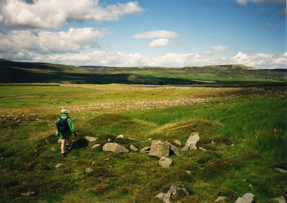
| Record Name | Burnt mound, udisturbed with stone 'kerb' feature. |
| Record Description | This well preserved burnt mound of characteristic crescentic plan with central trough facing a spring rise could be classed as a Type Site for Pennine Burnt Mounds.
The stone rear retaining kerb to the mound is unusual.
Two unenclosed round houses and an associated field system (unsurveyed and to be recorded seperately) point to contemporary mid bronze age settlement close by.
Later, early medieval shieling type occupation of this pasture is attested by the presence of a rectangular building with associated enclosures nearby, also unsurveyed. |
| Dimensions | 9m diameter and 1m high approximately |
| Geographical area | |
| Species | |
| Scientific Name | |
| Common / Notable Species | |
| Tree and / or Stem Girth | |
| Tree: Position / Form / Status | |
| Tree Site ID | 0 |
| Associated Site SWAAG ID | 0 |
| Additional Notes | First reported in Manby et al Eds. 2003. YAS Occ Paper No 3, 223-253 |
| Image 1 ID | 3841 Click image to enlarge |
| Image 1 Description | The Whitaside burnt mound photgraphed in April 2006 when sheep numbers had not been reduced.
All archaeological features are more difficult to see and photograph as herbage is growing rank after reduction in grazing. | 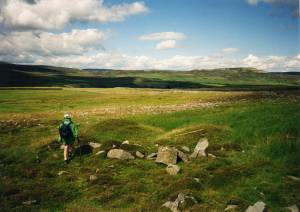 |
| Image 2 ID | 3842 Click image to enlarge |
| Image 2 Description | |  |