|
| *****SWAAG_ID***** | 776 |
| Date Entered | 08/02/2014 |
| Updated on | 09/02/2014 |
| Recorded by | Tim Laurie |
| Category | Standing Stones / Circles |
| Record Type | Archaeology |
| SWAAG Site Name | |
| Site Type | |
| Site Name | |
| Site Description | |
| Site Access | Public Access Land |
| Record Date | 04/02/2014 |
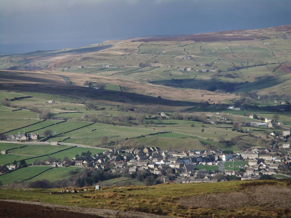
| Location | Sharrow Hill, Cogden Heugh and Ellerton Moor |
| Civil Parish | Ellerton Abbey |
| Brit. National Grid | SE 060 970 |
| Altitude | 340m |
| Geology | Limestone, sandstone and shale strata below the Main Limestone. Mineralised faults worked for lead at Black Hill on Ellerton Moor. |
| Record Name | Historic landscapes of Mid Swaledale visited and seen by SWAAG members during a walk across Ellerton Moor in February 2014 |
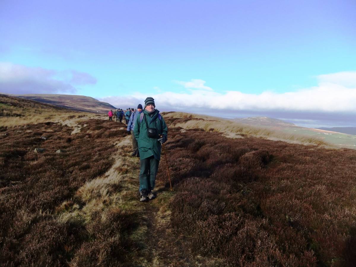
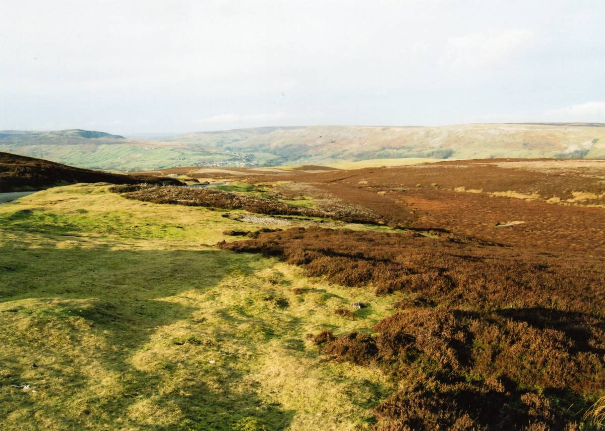
| Record Description | Blessed with one of the few fine days during February 2014, a strong and lively group of SWAAG Members walked from Grinton to Sharrow Hill via the Smelt Mill and from thence to Cogden Heugh and Stollerston Beck Head,followed by a traverse of Ellerton Moor below Black Hill and returning by Hags Gill and the unfenced road above Black Hill.
Fine views across the Dale to Reeth through Arkengarthdale to Stainmore and down Dale to Marrick and Downholme were highlights of the walk at all times.
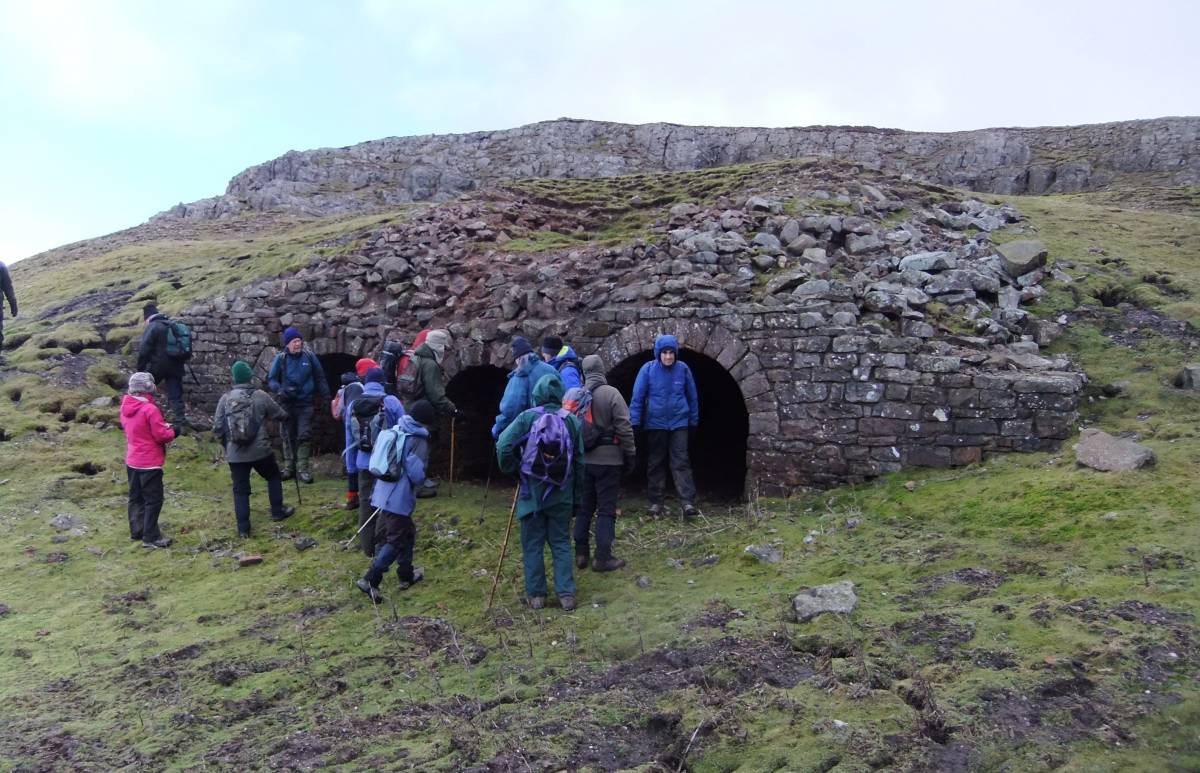
Following a walk across Grinton Moor following the track on Hirst Ridge, a prominent lateral glacial moraine marking the lowest of three pauses in the retreat of the Swaledale Ice to Grinton Smelt Mill, we climbed upwards by the ruined smelt mill flue to the limestone quarry, the 19C lime kilns and the adjacent earlier medieval 'sow kilns' which have produced burnt lime from the exposure of the Main Limestone on Sharrow Hill for the improvement of the lower pastures of Cogden since medieval time.
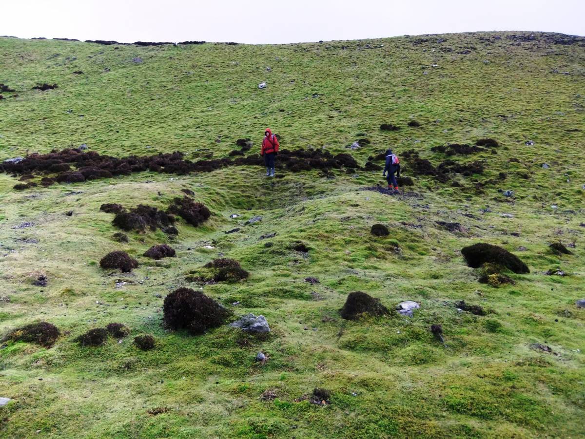
The short walk across Cogden Heaugh revealed traces of Bronze Age clearance cains and banks with the remains of a probable burial cairn at the summit, now the site of a fenced memorial to .
|
| Dimensions | |
| Geographical area | |
| Species | |
| Scientific Name | |
| Common / Notable Species | |
| Tree and / or Stem Girth | |
| Tree: Position / Form / Status | |
| Tree Site ID | 0 |
| Associated Site SWAAG ID | 0 |
| Additional Notes | This is an informal photographic record of a good day on the higher slopes on the southern side of Swaledale with fine views and a landscape full of geological, archaeological and mining interest.
Image Nos 1 to 7 show some of the views across Swaledale. Perhaps the most spectacular of these is the distant view through Arkengarthdale of the snows of Mickle Fell some 30 miles to the NW across Stainmore. This view reinforces the fact the lowest route for the earliest travellers on foot across the Pennines from the Vale of Mowbray, and the South and East - to The Vale of Eden and to Galloway and to Ireland was on the line of the Badger Way which was a series of braided tracks, which lead to Bowes, to Stainmore and to the Eden Valley.
The remainder of the photographic images show details of the archaeological features to be seen on Ellerton Moor. |
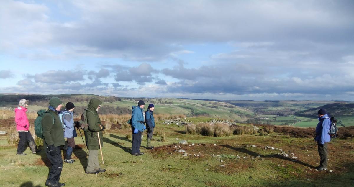
| Image 1 ID | 5040 Click image to enlarge |
| Image 1 Description | The group admiring the view through Arkengarthdale from the probable summit cairn at Cogden Heugh | 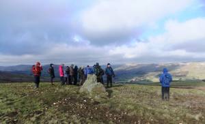 |
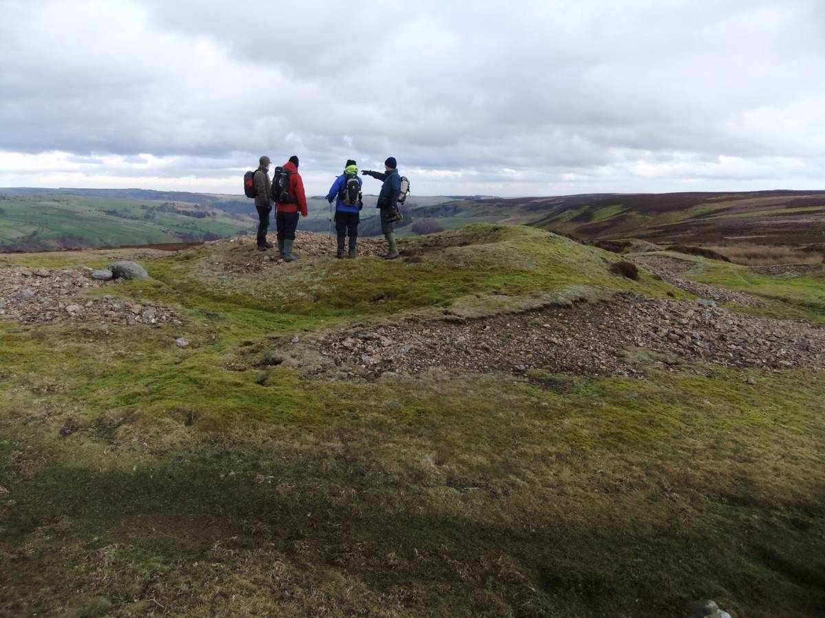
| Image 2 ID | 5042 Click image to enlarge |
| Image 2 Description | The view eastward through the glacially enlarged valley of Swaledale from Ellerton Moor Edge to Downholme Moor. John reconstructs the evidence for final retreat of the Swaledale Ice. | 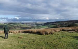 |
| Image 3 ID | 5041 Click image to enlarge |
| Image 3 Description | Lead mine shaft mound and remains of quarried prehistoric stone cairn (foreground. |  |
| Image 4 ID | 5043 Click image to enlarge |
| Image 4 Description | Lead mine shaft mound at Black Hill, near Hags Gill Bridge on Ellerton Moor. | 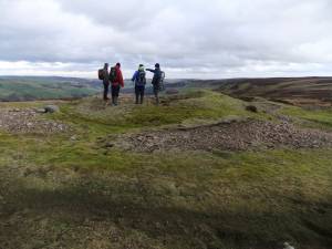 |
| Image 5 ID | 5045 Click image to enlarge |
| Image 5 Description | View from Black Hill to Fremington Edge | 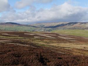 |
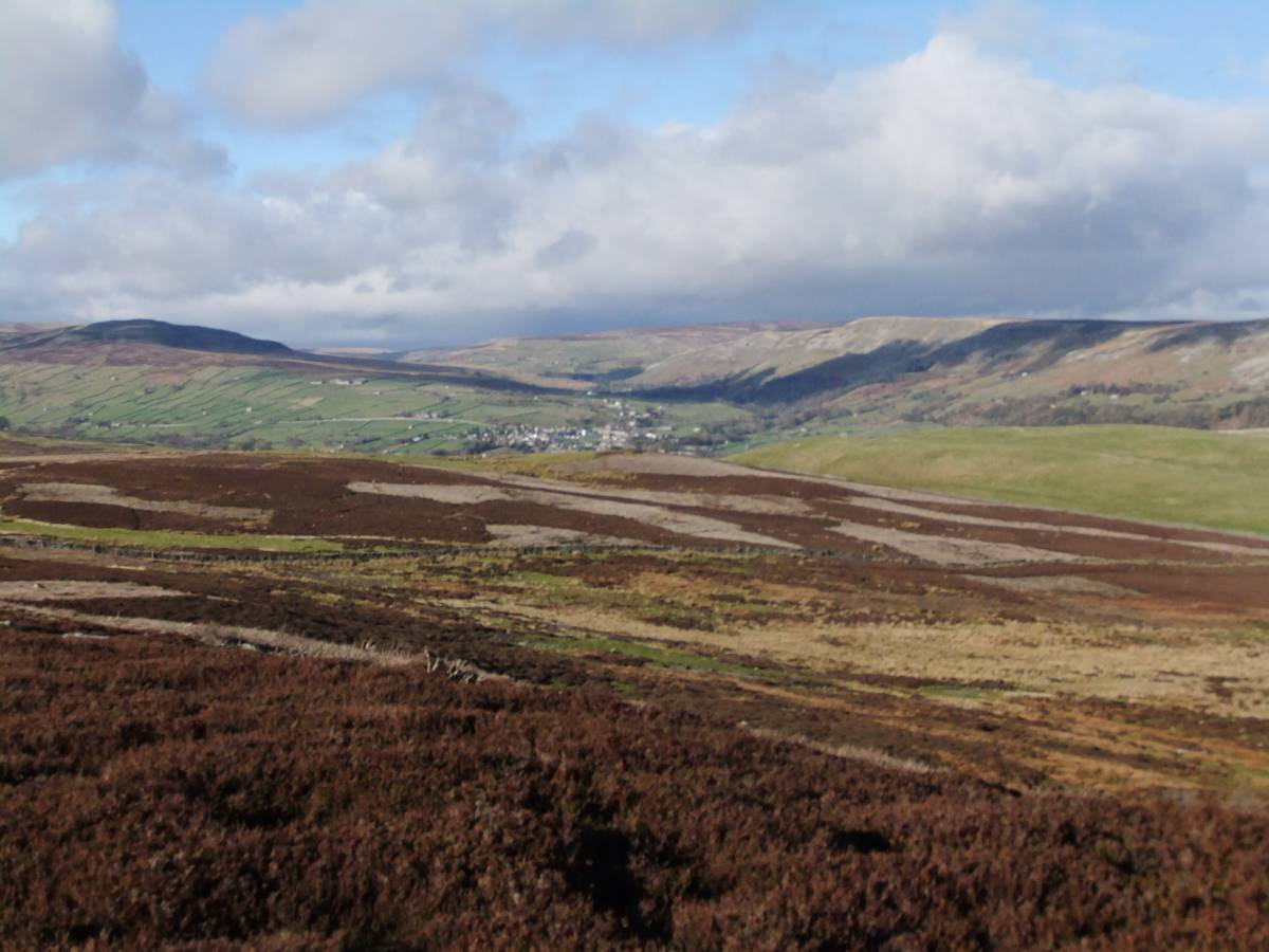
| Image 6 ID | 5044 Click image to enlarge |
| Image 6 Description | Reeth in winter sun and beyond to Booze Moor from Black Hill. |  |
| Image 7 ID | 5046 Click image to enlarge |
| Image 7 Description | View from Robin's Cross through Arkengarthdale to the distant snows on Mickle Fell. | 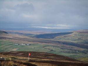 |
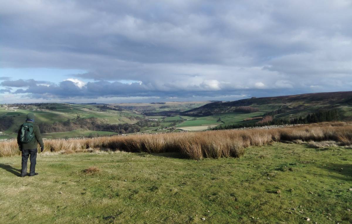
| Image 8 ID | 5047 Click image to enlarge |
| Image 8 Description | Moorland vegetation on Hirst Ridge | 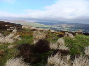 |
| Image 9 ID | 5048 Click image to enlarge |
| Image 9 Description | Onward and upward! |  |
| Image 10 ID | 5049 Click image to enlarge |
| Image 10 Description | The climb up to the limekilns on Sharrow Hill by Grinton Smelt Mill Flue | 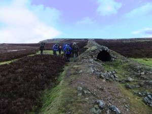 |
| Image 11 ID | 5050 |
| Image 11 Description | Lime kilns and quarry on Sharrow Hill | 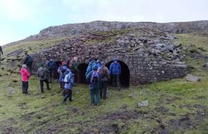 |
| Image 12 ID | 5051 |
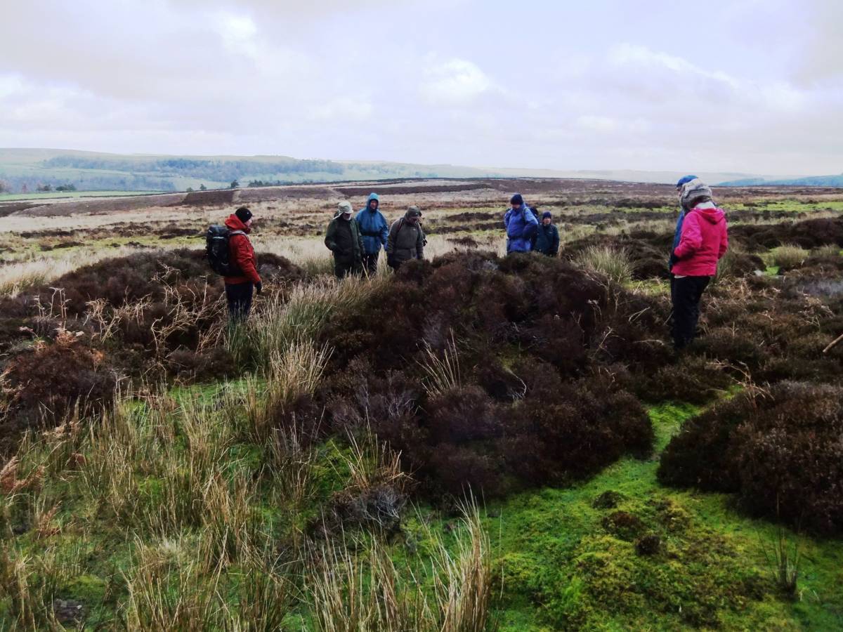
| Image 12 Description | The group examine one of six early limestone burning kilns or 'Sow Kilns' on Sharrow Hill. Lime from these kilns would have improved the pastures of Cogden for centuries. | 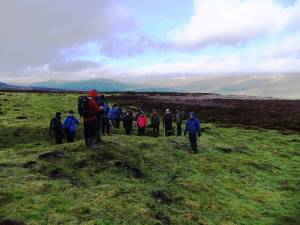 |
| Image 13 ID | 5052 |
| Image 13 Description | One of the Sow Kilns. | 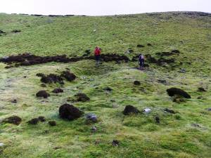 |
| Image 14 ID | 5053 |
| Image 14 Description | I think I know what this is, I think. | 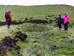 |
| Image 15 ID | 5054 |
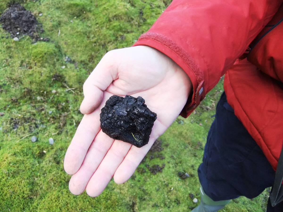
| Image 15 Description | Fuel for the early Sow Kilns. Part burnt coal from the Preston Collieries. |  |
| Image 16 ID | 5056 |
| Image 16 Description | This is the first of the Burnt Mounds to have been recognised. In marsh near Stollerston Beck. Early photo. | 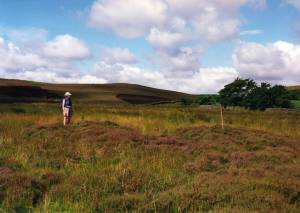 |
| Image 17 ID | 5055 |
| Image 17 Description | The Group at the largest of the Burnt Mounds here. |  |
| Image 18 ID | 5057 |
| Image 18 Description | The largest burnt mound below Black Hill, detail. | 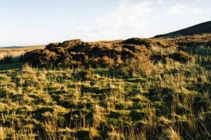 |
| Image 19 ID | 5072 |
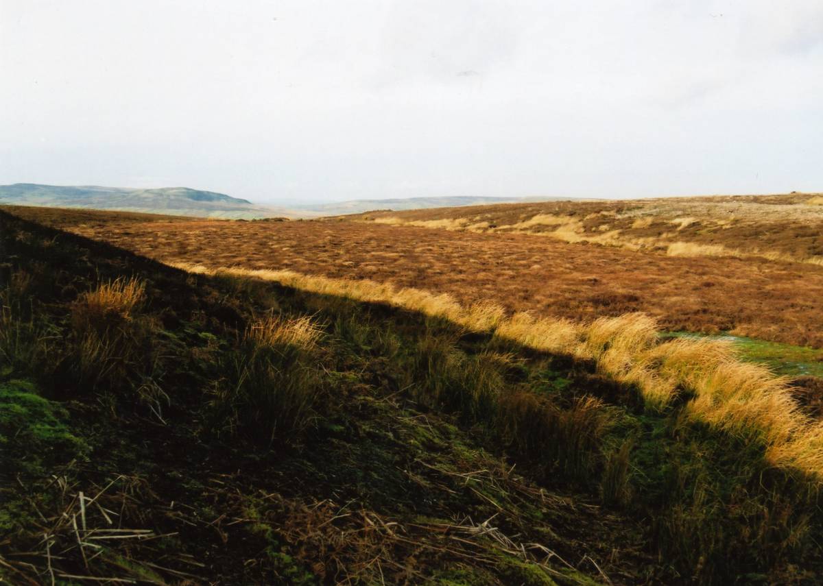
| Image 19 Description | The Ellerton Moor peat infilled ice margin channel. The radio carbon dated pollen diagamcommissioned by the Swaledale Ancient Land Boundaries Project from this location demonstrated that Calluna (heather or ling) became dominant as late as 200-400AD. Before this and throughout the prehistoric Iron Age the landscape was very different of managed grassland with hazel scrub on steep limestone and upland birch/oak on the chert strata of the high plateau. | 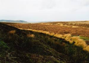 |
| Image 20 ID | 5059 |
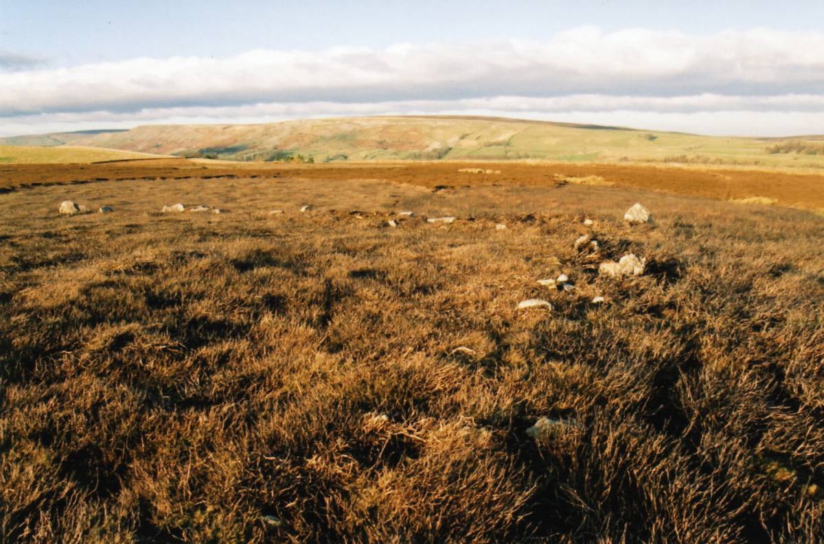
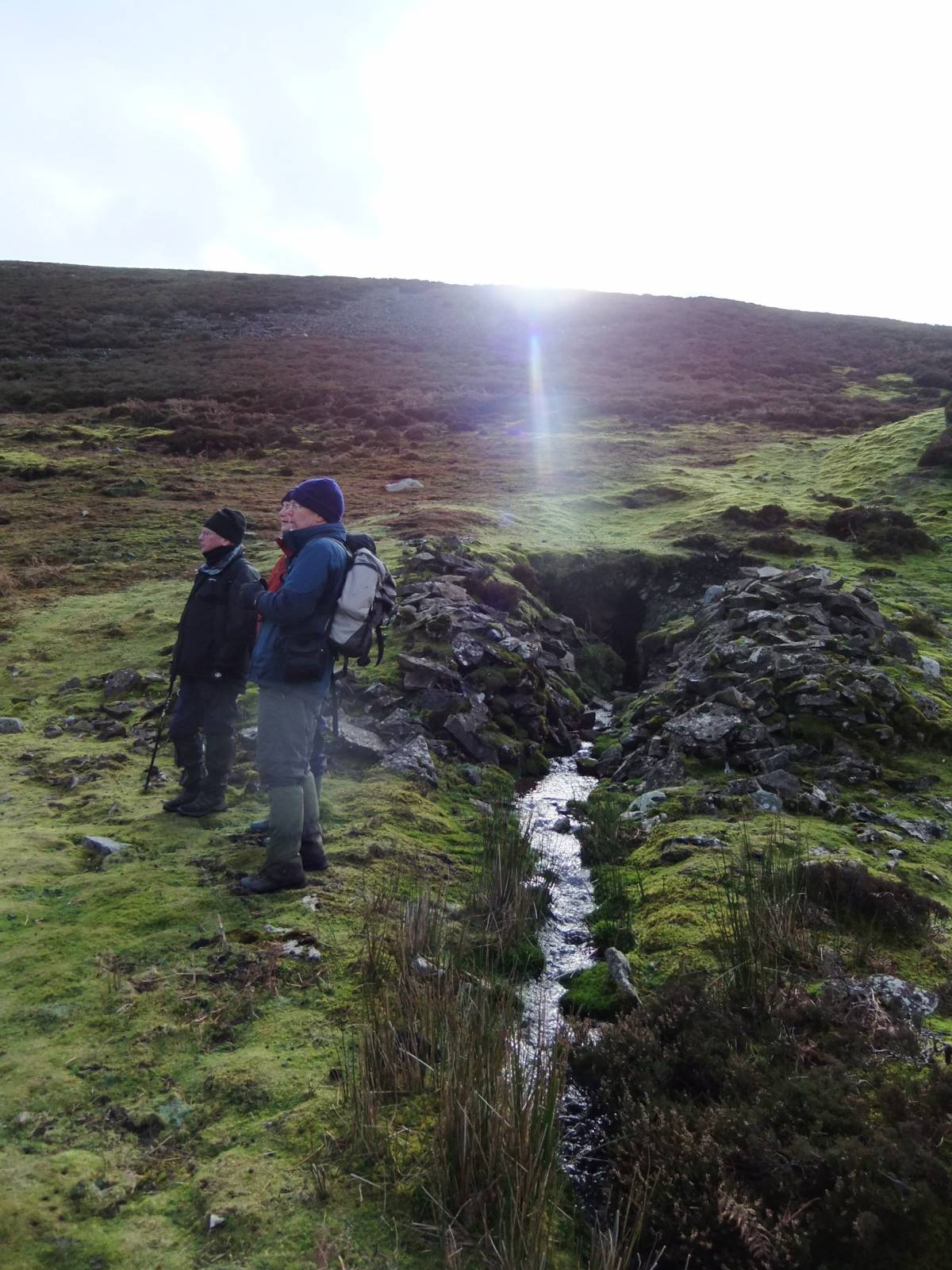
| Image 20 Description | The field system extends from Hags Gill to Stollerston Gill and from the limit of present day walled pastures to the upper slopes of Black Hill. Two field boundaries are aligned on the standing stone visible in mid distance. | 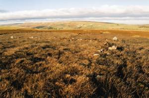 |
| Image 21 ID | 5060 |
| Image 21 Description | The standing stone with adjacent field boundaries. | 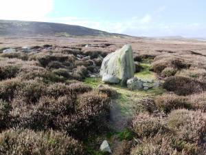 |
| Image 22 ID | 5070 |
| Image 22 Description | The standing stone showing stone packing or possible structure. This stone, large for the area,predates the field system and may have been set up to mark a grave. Photo Doug Waugh. | 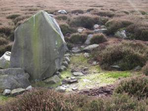 |
| Image 23 ID | 5061 |
| Image 23 Description | Lunch below the Black Hill Lead Mine Level | 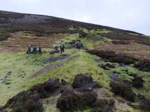 |
| Image 24 ID | 5063 |
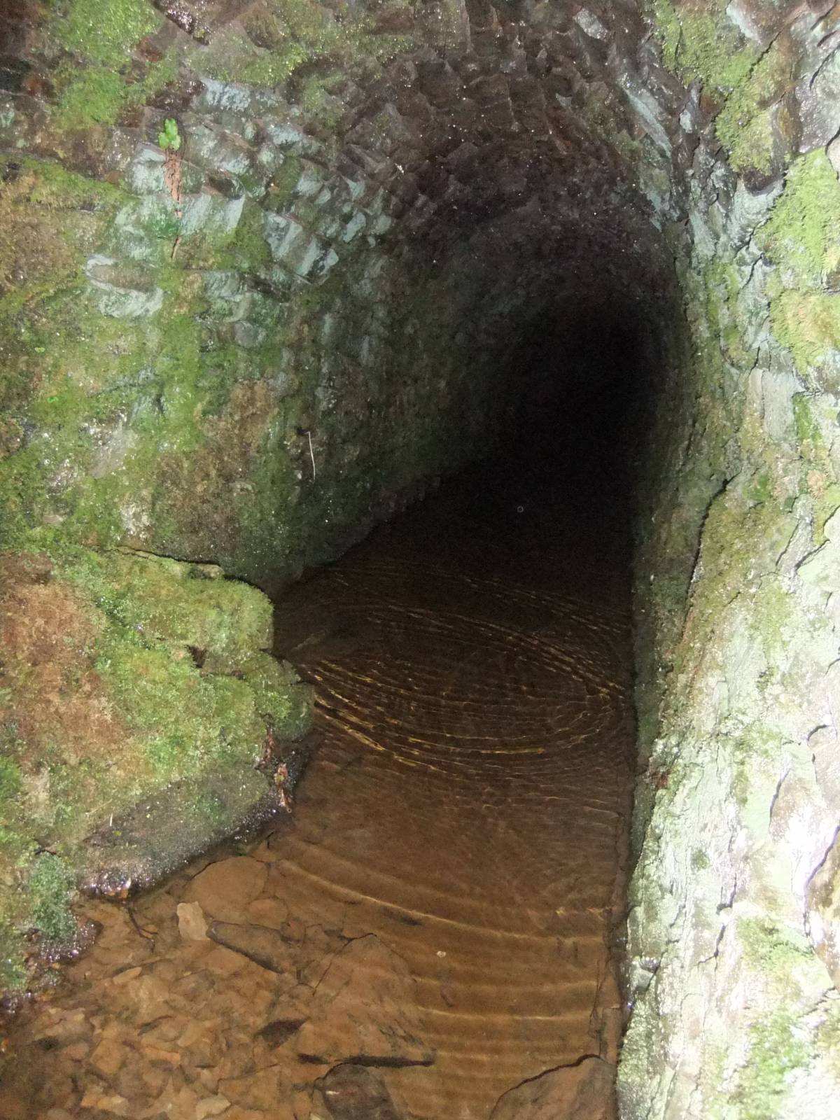
| Image 24 Description | Entrance to the Black Hill Lead Mine Level | 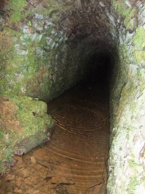 |
| Image 25 ID | 5064 |
| Image 25 Description | Entrance to the Black Hill Lead Mine Level. Distracted by low flying aircraft. | 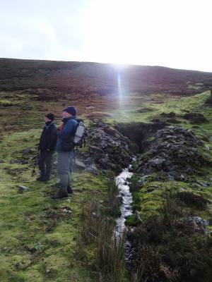 |
| Image 26 ID | 5065 |
| Image 26 Description | View across Blaeberry Hill and Stollerston Gill Head from Black Hill. | 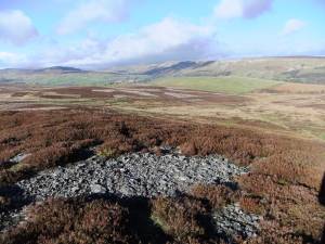 |
| Image 27 ID | 5066 |
| Image 27 Description | Trace fossil on block of Richmond Chert, made by an unknown lug worm or similar invertebrate some 300miliion years ago | 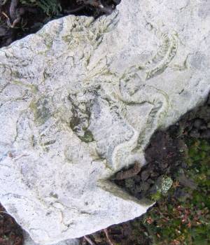 |
| Image 28 ID | 5071 |
| Image 28 Description | The Ellerton Moor radiocarbon dated pollen report was based on a column of peat taken from the peat infilled channel in the foreground. |  |
| Image 29 ID | 5068 |
| Image 29 Description | Small stone dump ring bank on Black Hill. This feature is interpreted as a Ring Cairn or Enclosed Cremation Cemetary, the most usual funerary monument in this area of the Early to Mid Bronze Age. First recognised and recorded by Ric Carter. | 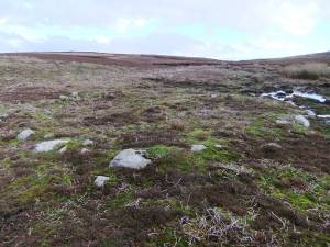 |
| Image 30 ID | 5069 |
| Image 30 Description | Fell End in low winter sun seen from the way back to the cars. | 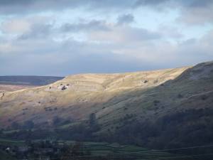 |