|
| *****SWAAG_ID***** | 780 |
| Date Entered | 27/02/2014 |
| Updated on | 02/03/2014 |
| Recorded by | Alan and Judith Mills |
| Category | Mining Related |
| Record Type | Mining |
| SWAAG Site Name | |
| Site Type | |
| Site Name | |
| Site Description | |
| Site Access | Army Range |
| Record Date | 15/07/2012 |
| Location | Stainton Moor |
| Civil Parish | Stainton |
| Brit. National Grid | SE 08897 95124 |
| Altitude | 313m |
| Geology | |
| Record Name | Stainton Lead Smelting Mill |
| Record Description | Alan Mills & Richard Smith visited Stainton Moor on 15th July 2012 under the supervision of Range Marshall W/O Martin Robinson, no.4 Stainton.
What follows is from Richard's notebook.
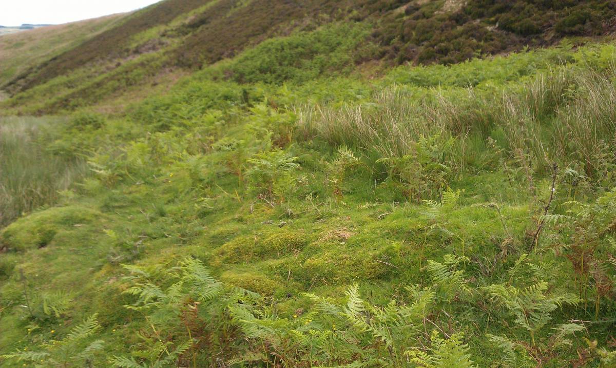
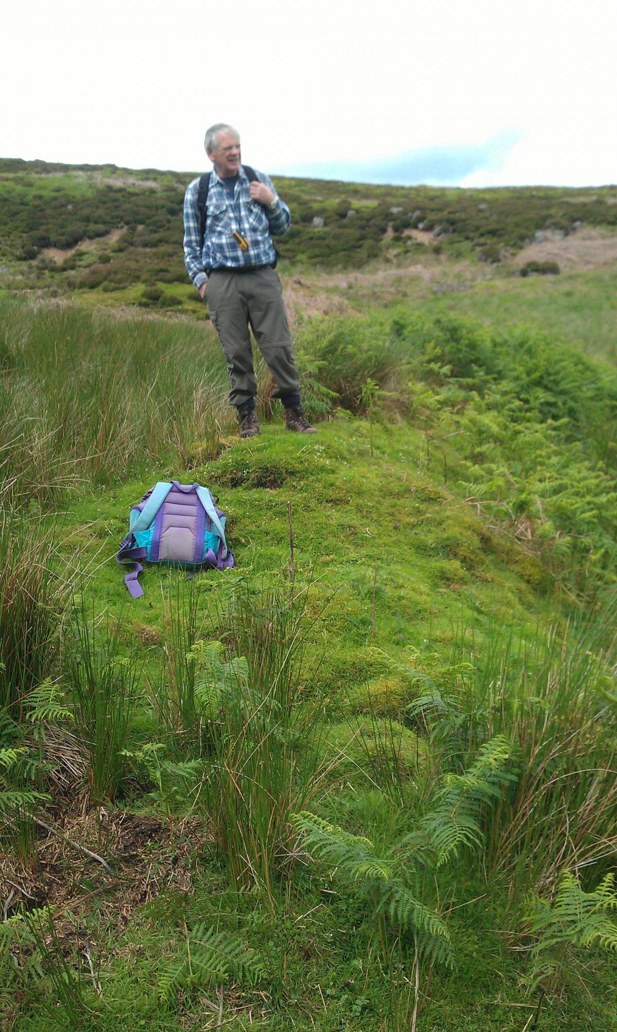
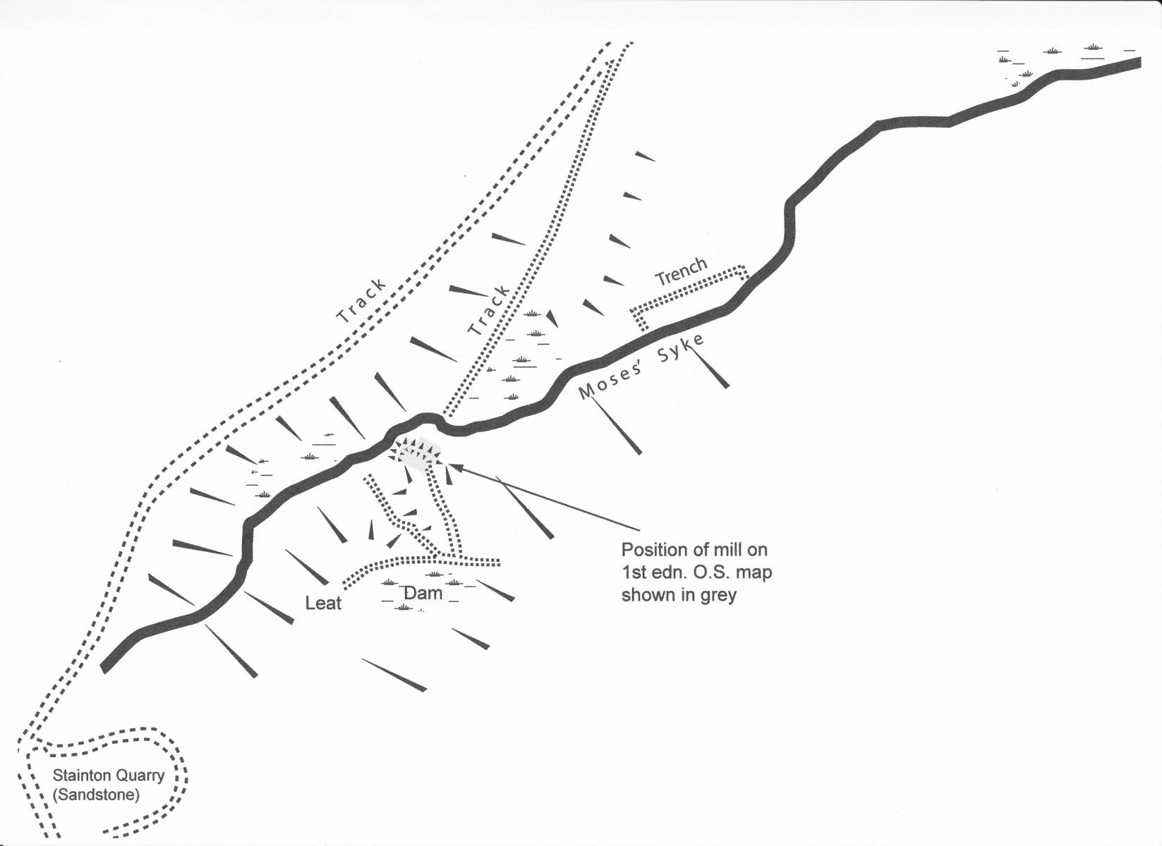
We located the probable site of the Stainton lead smelting mill as shown on the 1st ed OS map (SE 08897 95124 313m), at the end of a broad grass track and on the South bank of the beck. There was some raised ground which may be collapsed walls (see photo 1) but otherwise there were few traces to be seen. However, a possible leat led down from a clearly defined dam (see photo 2) with a secondary overflow / spillway down to the beck above the mill. See the plan of the site.
No slag was found although a clay brick with no markings was found in the beck by the mill. About 30m below the mill was a fragment of blue & white "Willow Pattern" pottery perhaps from a teapot or vase.
About 200m below the mill was a flat grassy area (SE 08990 95196), shown on the 1st ed OS map, which had a protecting trench around it (also shown on the 1st ed OS). There were a few scattered pieces of coal here. The purpose of this area is not known.
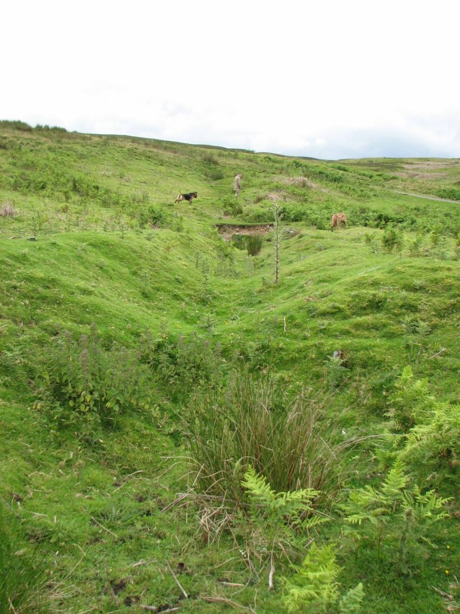
We later visited Wyville Level (SE 09384 95803 285m) which is collapsed and has a long ca. 50m trench to the portal - it is possibly a development of an earlier opencast working. (see photos 3 & 4). It looks as if the apparent collapse is in fact part of the earlier working and that the level goes underneath. Only about one foot of the top of the arch is evident.
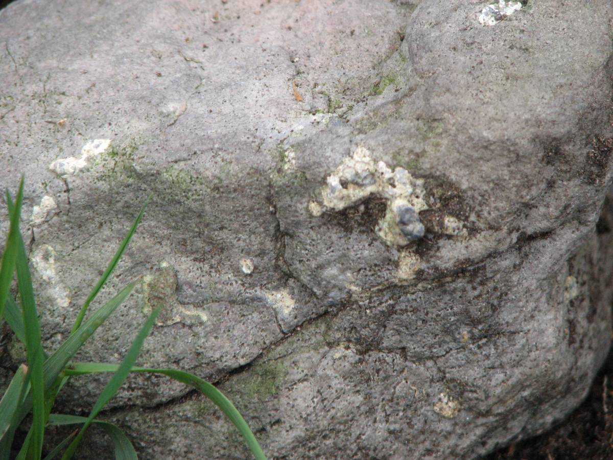
On the way back we went on to Bail Hill (SE 09767 96419 283m) and found one piece of slagged stone (see photos 5 & 6) and bits of red stone. The hill is heavily grassed and the only exposure was as a result of rabbit burrowing.
The area to the NW was investigated but all of the fell is heavily grassed with with thick sod overburden.
|
| Dimensions | |
| Geographical area | |
| Species | |
| Scientific Name | |
| Common / Notable Species | |
| Tree and / or Stem Girth | |
| Tree: Position / Form / Status | |
| Tree Site ID | 0 |
| Associated Site SWAAG ID | 0 |
| Additional Notes | |
| Image 1 ID | 5136 Click image to enlarge |
| Image 1 Description | Probable site of Stainton smelt mill; the raised ground may be the remains of the collapsed walls. | 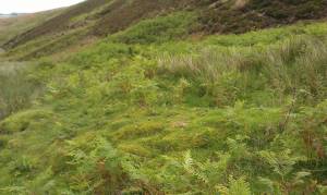 |
| Image 2 ID | 5137 Click image to enlarge |
| Image 2 Description | Richard Smith on the dam | 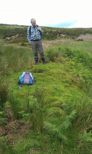 |
| Image 3 ID | 5138 Click image to enlarge |
| Image 3 Description | Wyville Level portal |  |
| Image 4 ID | 5139 Click image to enlarge |
| Image 4 Description | Wyville Level, trench leading to the portal | 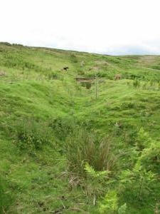 |
| Image 5 ID | 5140 Click image to enlarge |
| Image 5 Description | Lead splattered stone on Bail Hill | 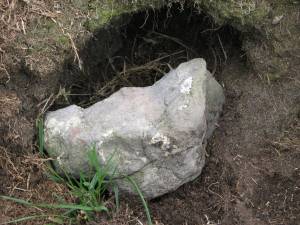 |
| Image 6 ID | 5141 Click image to enlarge |
| Image 6 Description | Close up of lead splattered stone on Bail Hill | 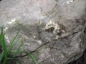 |
| Image 7 ID | 5142 Click image to enlarge |
| Image 7 Description | Stainton Mill Survey |  |