|
| *****SWAAG_ID***** | 791 |
| Date Entered | 27/03/2014 |
| Updated on | 27/03/2014 |
| Recorded by | Tim Laurie |
| Category | Mining Related |
| Record Type | Industrial Archaeology |
| SWAAG Site Name | |
| Site Type | |
| Site Name | |
| Site Description | |
| Site Access | Public Access Land |
| Record Date | 26/03/2014 |
| Location | Coverdale. Gammersgill, Spring Wood, South side of Turn Beck. |
| Civil Parish | Not known |
| Brit. National Grid | |
| Altitude | 330m AOD |
| Geology | Glacial Drift over the Underset Limestone. |
| Record Name | Large iron bloomery site above the south bank of Turn Beck within Spring Wood, an extensive area of managed ancient alder coppice woodland |
| Record Description | Large horseshoe shaped mound of iron slag approximately size 10m*10m*1.2m high overall. This mound, which is entirely vegetated with bright green turf, is very conspicuous among the Juncus diffusus marsh. The slag heap marks the presence of an iron smelting industry within an area with many ancient coppiced alders known as Spring Wood. This Iron Bloomery Site may well have used charcoal from the nearby alder coppice woodland however no charcoal pits or platforms have been recognised within the area on the OS Map marked Spring Wood so far.
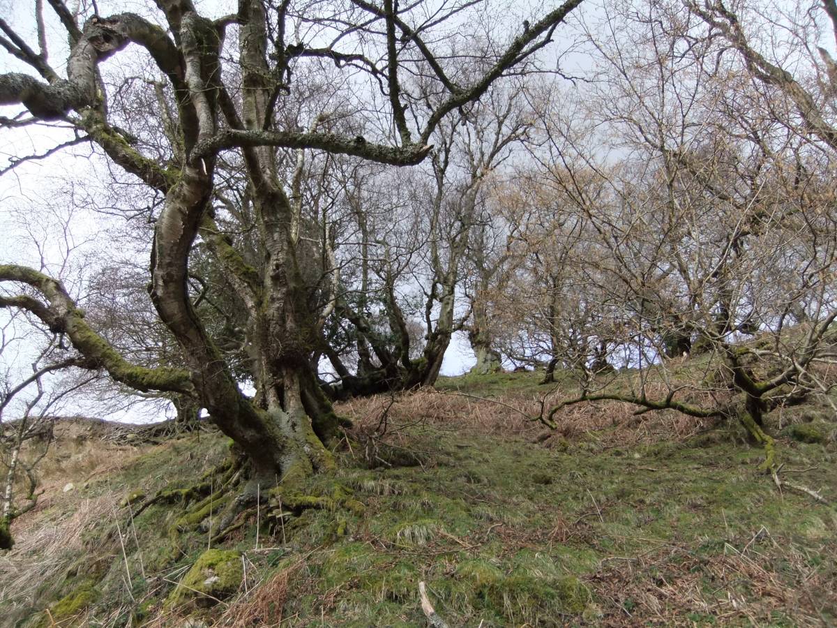
Alders survive today only at stream sides lower down and within the steep sided Gills, during the Medieval Period of iron smelting the whole area would have been wooded.
|
| Dimensions | 10m *10m *1.2m high overall. Approx. |
| Geographical area | |
| Species | |
| Scientific Name | |
| Common / Notable Species | |
| Tree and / or Stem Girth | |
| Tree: Position / Form / Status | |
| Tree Site ID | 0 |
| Associated Site SWAAG ID | 0 |
| Additional Notes | Similar iron bloomery mounds are frequent in Upper Teesdale where they have been dated to the 12C (Gledhill, 2002) and in Weardale. Bloomery sites are rather scarce throughout Wensleydale and Swaledale where iron bloomery sites may be associated with farmstead settlements of Early Medieval Date. Reference: Gledhill, T. 2002. 'Investigation of Early Iron Working in Upper Teesdale.' Privately Published. |
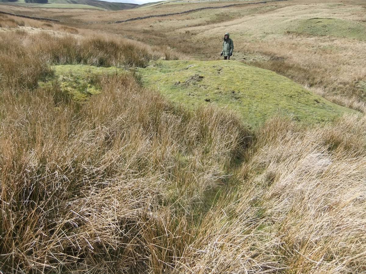
| Image 1 ID | 5265 Click image to enlarge |
| Image 1 Description | The prominent green turf covered mound of iron slag is a horseshoe shaped discard heap located around a small centrally located bowl furnace. | 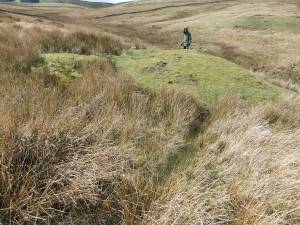 |
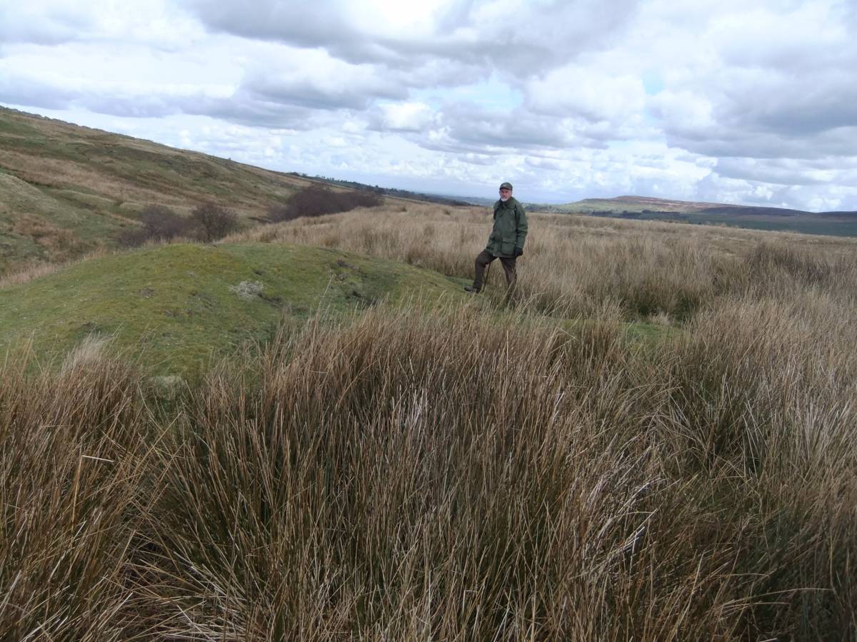
| Image 2 ID | 5266 Click image to enlarge |
| Image 2 Description | The mound is located above Turn Beck, note the alders lower downstream | 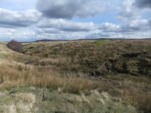 |
| Image 3 ID | 5267 Click image to enlarge |
| Image 3 Description | View eastward. | 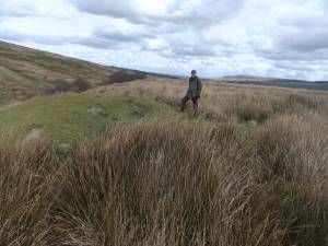 |
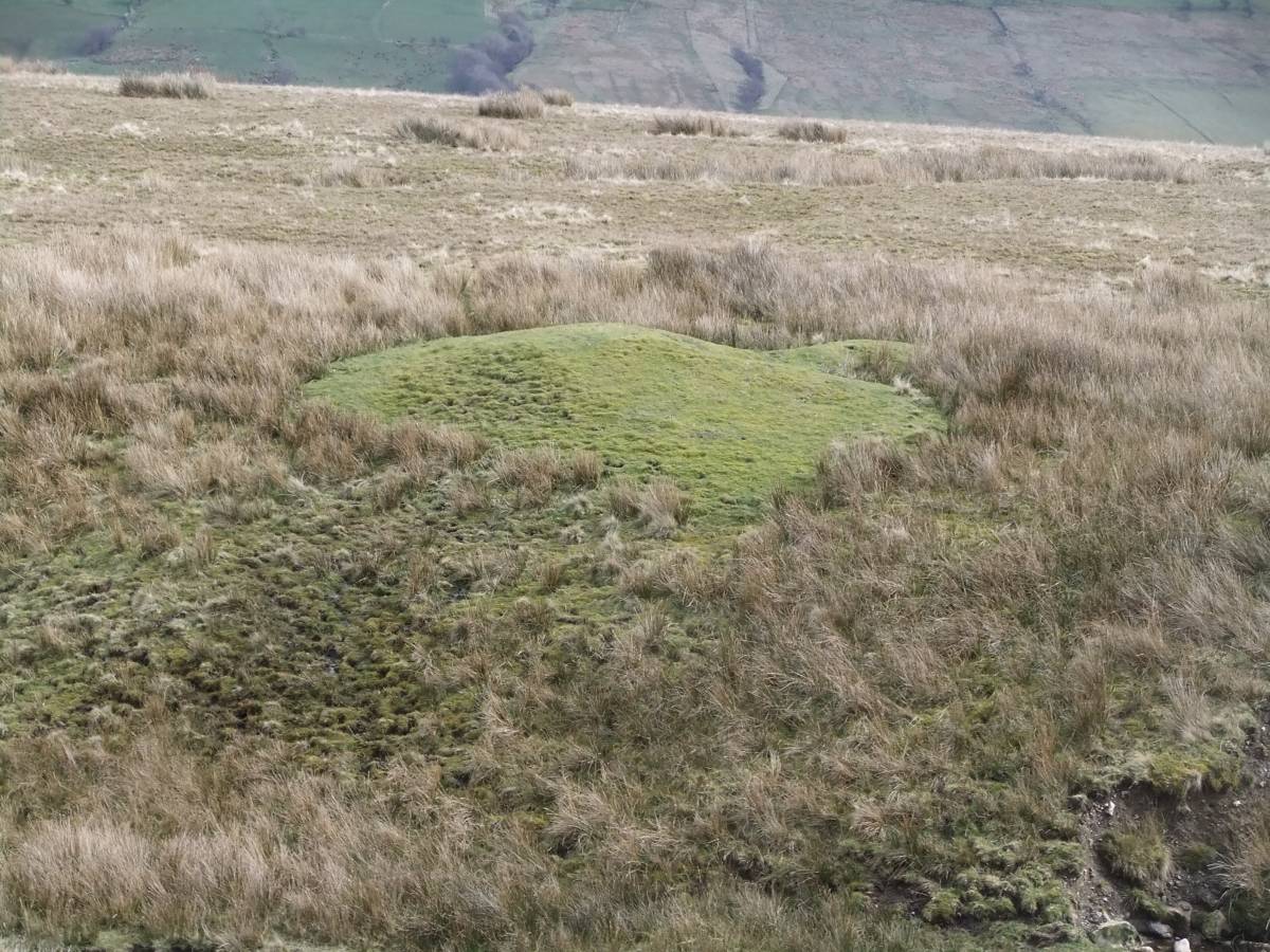
| Image 4 ID | 5268 Click image to enlarge |
| Image 4 Description | View southward. Coverdale in distance. | 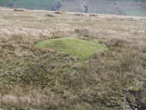 |
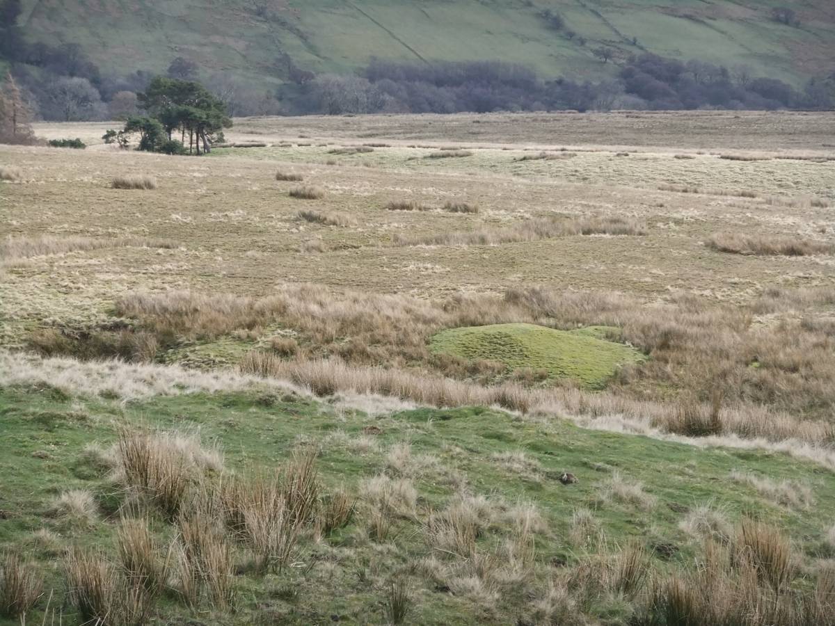
| Image 5 ID | 5269 Click image to enlarge |
| Image 5 Description | View southward. Coverdale in distance. |  |
| Image 6 ID | 5270 Click image to enlarge |
| Image 6 Description | Alderwood survives today only at stream sides and within steep sided ravines. | 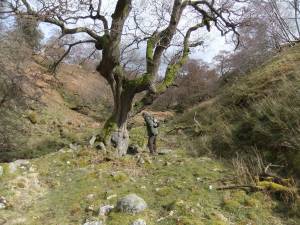 |
| Image 7 ID | 5271 Click image to enlarge |
| Image 7 Description | |  |