|
| *****SWAAG_ID***** | 783 |
| Date Entered | 04/03/2014 |
| Updated on | 04/03/2014 |
| Recorded by | Alan and Judith Mills |
| Category | Mining Related |
| Record Type | Mining |
| SWAAG Site Name | |
| Site Type | |
| Site Name | |
| Site Description | |
| Site Access | Army Range |
| Record Date | 03/03/2014 |
| Location | Stainton Moor |
| Civil Parish | Stainton |
| Brit. National Grid | SE 08890 95568 |
| Altitude | 308m |
| Geology | |
| Record Name | Mines on Stainton Moor |
| Record Description | Two levels on Stainton Moor are noted below.
Wyvill's Level (SE 09384 95803 285m)
The level, which has collapsed, has a long ca. 50m trench to the portal - this is perhaps the result of earlier opencast working. (see photos 1 & 2). It is possible that the apparent collapse is in fact a continuation of this earlier working and that the level goes underneath. Only about one foot of the top of the arch is evident. The absence of galena in the tips indicates that the level did not reach the vein (1). (Note that Wyville Level is also referred to in record 780 but is repeated here for completeness).
Dagget's Level (SE 08890 95568 308m)
Photo 3 shows the portal and photo 4 the spoil tips. The spoil tips are not very large suggesting that the mine itself was not very large, although the presence of galena indicates that the level did reach the vein (1).
Dunham & Wilson (1) suggest that these workings are the eastern-most of those related to the Great Stork Vein and associated strings.
(1) British Geological Survey, "The Geology of the Northern Pennine Orefield" Vol 2, p180, 1985
Images 1-3 by Alan Mills, image 4 by Doug Waugh
|
| Dimensions | |
| Geographical area | |
| Species | |
| Scientific Name | |
| Common / Notable Species | |
| Tree and / or Stem Girth | |
| Tree: Position / Form / Status | |
| Tree Site ID | 0 |
| Associated Site SWAAG ID | 0 |
| Additional Notes | |
| Image 1 ID | 5138 Click image to enlarge |
| Image 1 Description | Wyvill's Level portal | 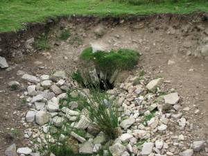 |
| Image 2 ID | 5139 Click image to enlarge |
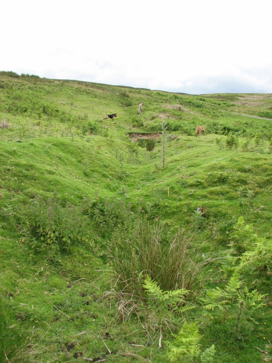
| Image 2 Description | Wyvill's Level: the trench leading to the portal | 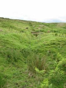 |
| Image 3 ID | 5161 Click image to enlarge |
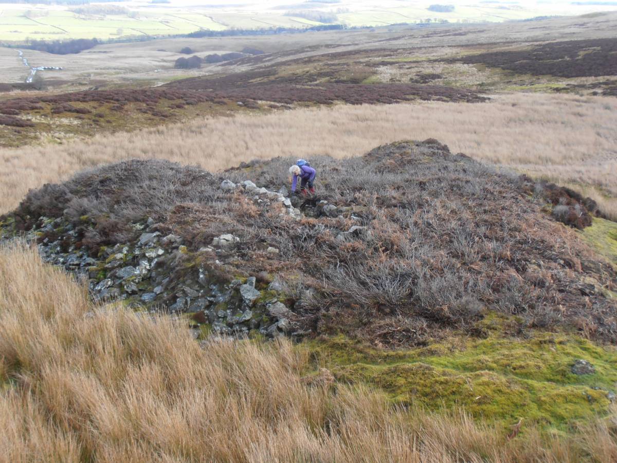
| Image 3 Description | Dagget's Level portal | 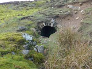 |
| Image 4 ID | 5162 Click image to enlarge |
| Image 4 Description | Tips at Dagget's Level | 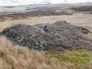 |