|
| *****SWAAG_ID***** | 779 |
| Date Entered | 22/02/2014 |
| Updated on | 23/02/2014 |
| Recorded by | Tim Laurie |
| Category | Mining Related |
| Record Type | General HER |
| SWAAG Site Name | |
| Site Type | |
| Site Name | |
| Site Description | |
| Site Access | Army Range |
| Record Date | 17/02/2014 |
| Location | To the Ship Plantation across Ellerton Moor and Stainton Moor via the East End Lead Mine and Juniper Gill |
| Civil Parish | Ellerton Abbey |
| Brit. National Grid | SE 080 960 |
| Altitude | 350m |
| Geology | Faulted and mineralised Richmond Cherts over The Main Limestone. |
| Record Name | A walk by SWAAG Members To the Ship Plantation across Ellerton Moor and Stainton Moor via the East End Lead Mine, Juniper Gill Head and The Ship Plantation. |
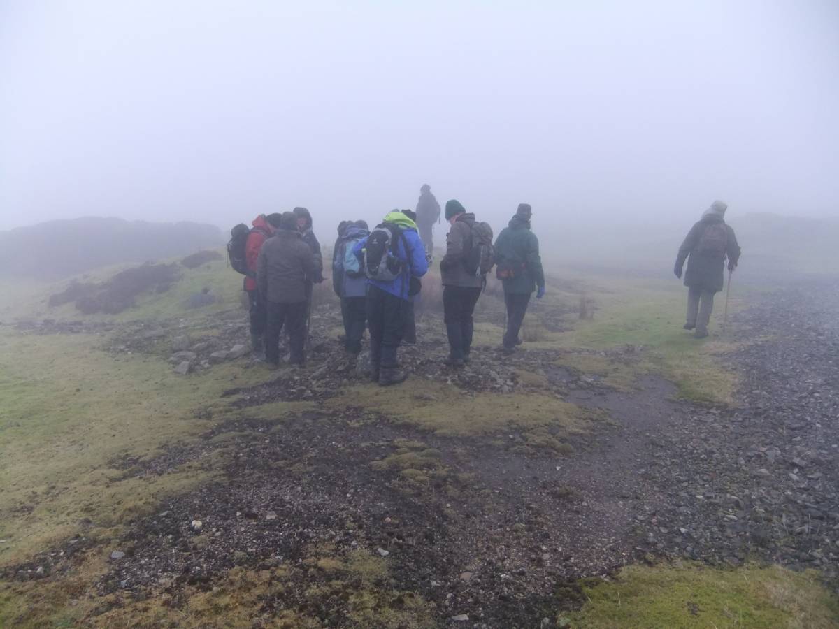
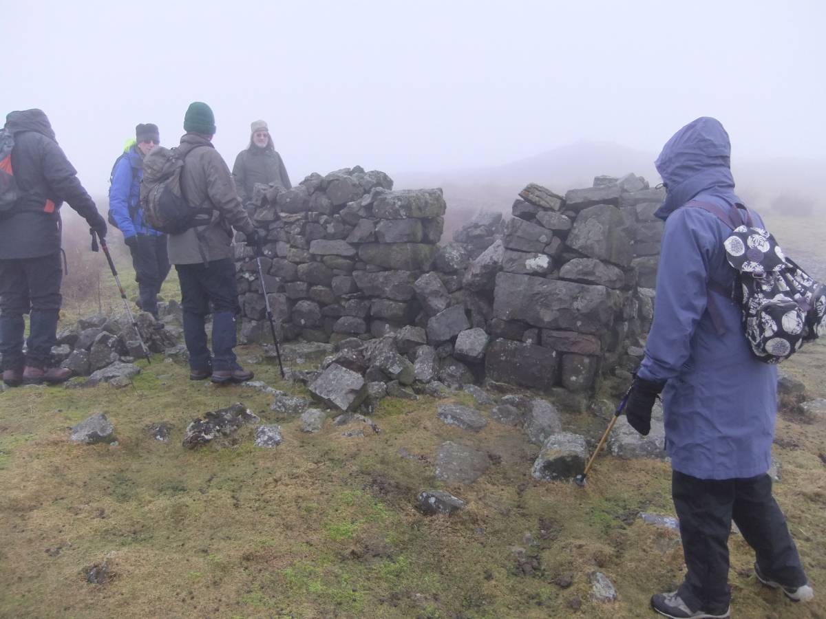
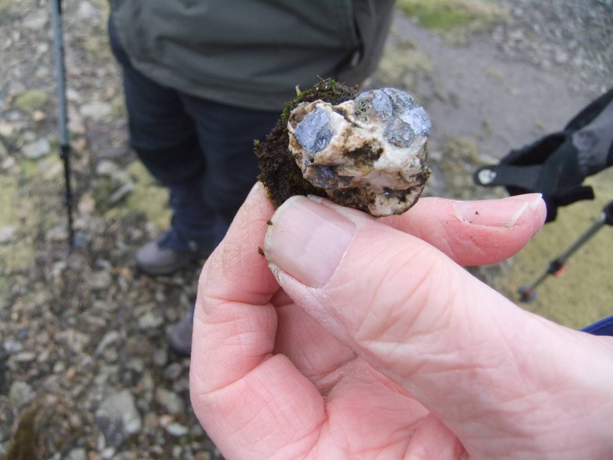
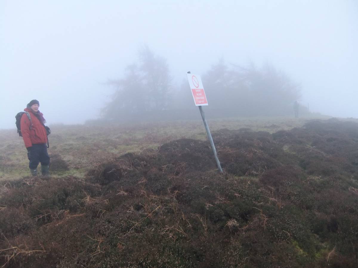
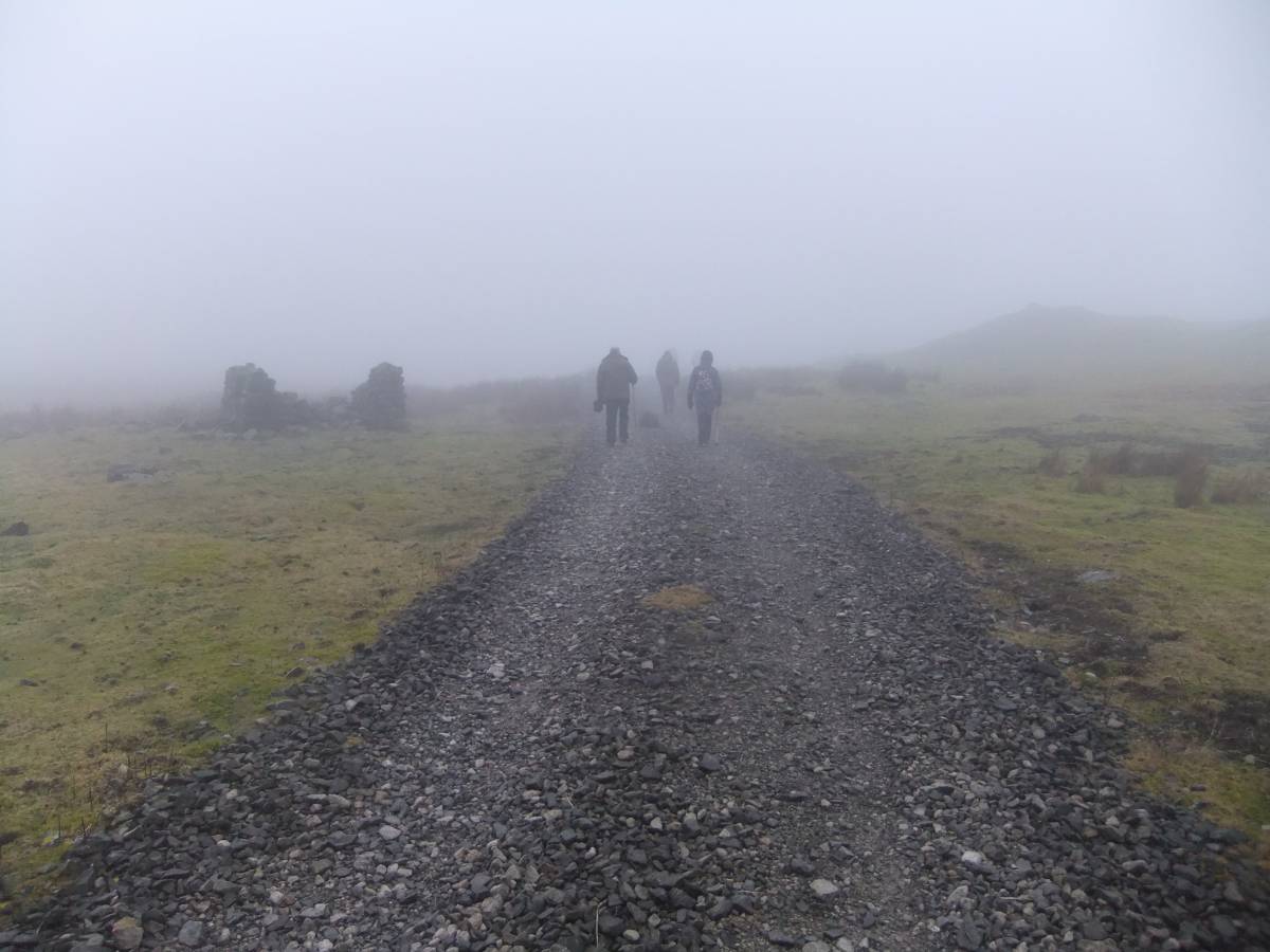
| Record Description | Having cleared access with the Range Officer but having neglected to placate the Powers That Be with the customary slaughter of a chicken to ensure fine weather, a brave band of SWAAG Members embarked in thick fog on the circumnavigation of the high moorland fastness of the Army Firing Ranges east of the Grinto- Leyburn road. Our way was initially, due to fog, determined by the necessity of staying to the made up vehicle track from the East End Lead Mine to the White Bog and Stainton. We were rewarded by the opportunity to examine the extensive lead mining remains, see photos, which are rarely visited by the general public quite reasonably deterred by the possibility of meeting high velocity bullets in flight. The very extensive lead dressing floors indicate that these mines were very productive.
For a detailed description of the Ellerton and Stainton lead mines, see British Geological Survey Memoir: Geology of the North Pennine Orefield, Vol 2: Stainmore to Craven Chapter 11.
Two prehistoric artefacts were collected from the area of the mining ground and later identified as a scraper and a core. Both artefacts were of local fine grained chert.
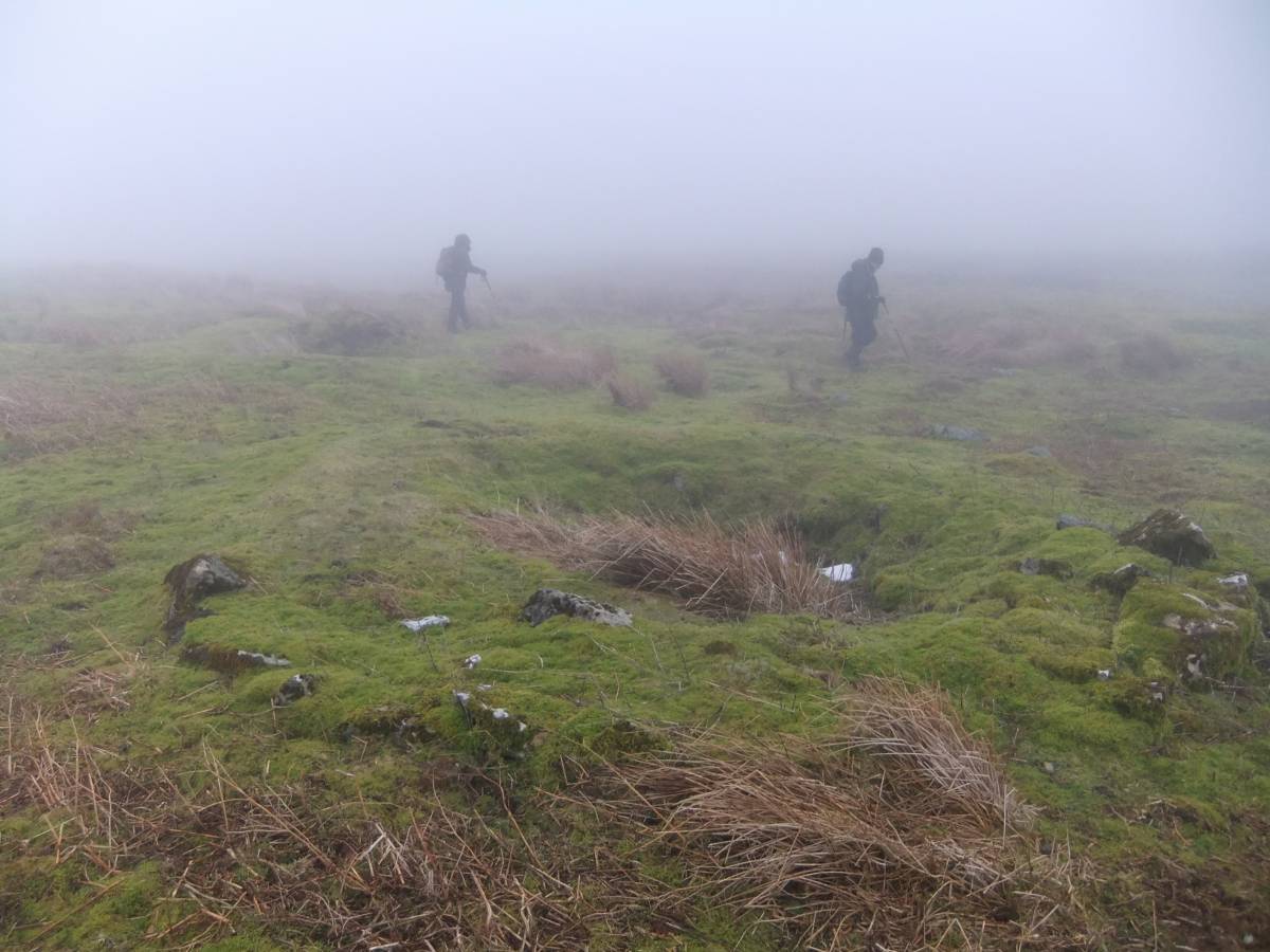
Despite searching the heather moorland through the fog for known archaeological features from the track, we were unable to find the known but elusive standing stone or to visit the cairnfield and field system on Juniper Gill (see SWAAG Record No YY) or the other features previously recorded. However two previously unrecorded stone clearance cairns were noted, see photo ZZ but it was definitely not advisable to leave the track the search further.
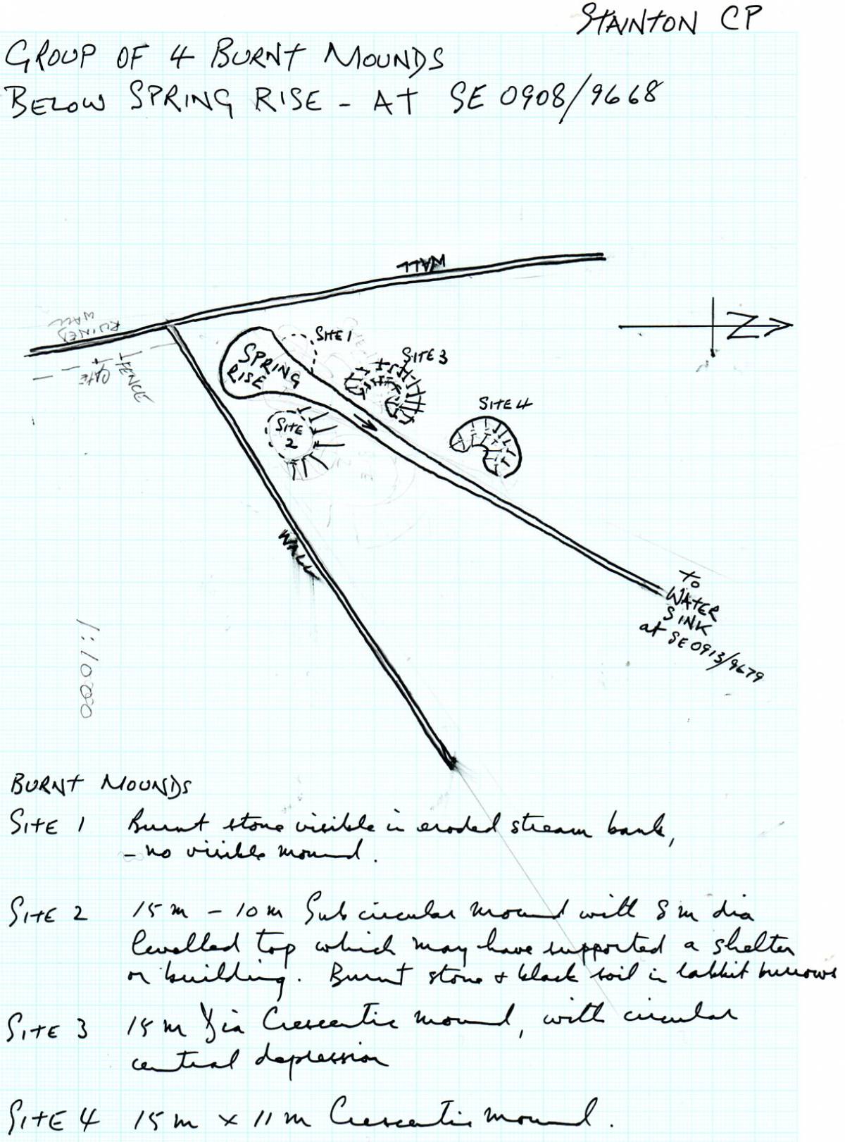
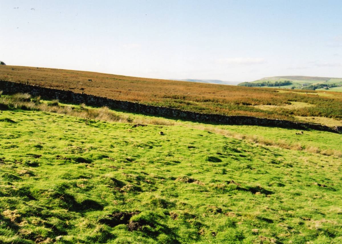
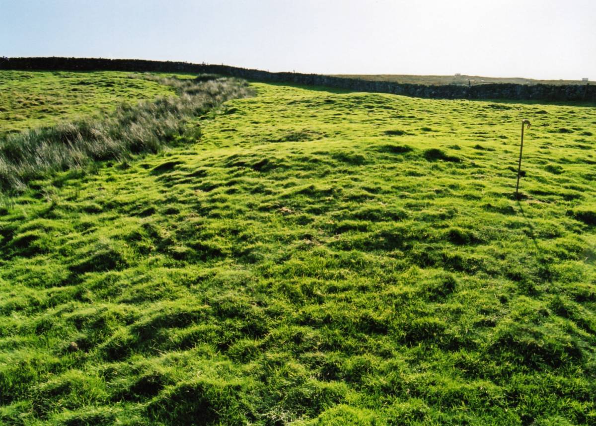
The fog covered the lower moorland and pastures also so the Group walked across to the Ship Plantation above Ellerton Scar where a group of four burnt mounds were seen in the pastures and the very impressive embanked and ditched medieval field boundaries at the top edge of the present walled pastures were briefly seen. The post medieval boundaries of this area are depicted on a surviving map dated 1694 reproduced by Andrew Fleming as Figure 5.3 in his 'Swaledale' book. However the very large bank abd ditched boundary which was observed to cross the enclosed fields, see Image Nos XX which extends below the enclosure wall westward across the moor for a KM or so before descending to Ellerton is not depicted on this map and clearly predates both the present day stone enclosure walls and the 1694 boundaries.
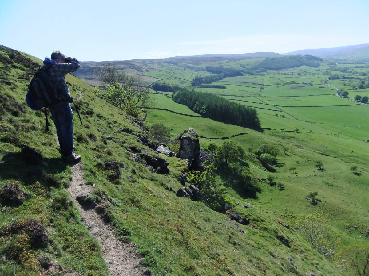
Lunch was taken in the shelter of a small quarry at the top of Ellerton Scar. We adjudged the narrow foorpath whch traverses the very edge of the sheer cliff of Ellerton Scar to be too dangerous in mist and returned in safety well away from the top of the Scar without seeing the views. In fact we were able to see very little during the walk but despite this all were in good spirits and probably enjoyed the experience of moorland atmosphere in fog precisely for the reason of the impossible conditions. |
| Dimensions | The total distance walked was in the region of 5 miles. |
| Geographical area | |
| Species | |
| Scientific Name | |
| Common / Notable Species | |
| Tree and / or Stem Girth | |
| Tree: Position / Form / Status | |
| Tree Site ID | 0 |
| Associated Site SWAAG ID | 0 |
| Additional Notes | For benefit of all who participated in this walk, I have included a number of survey plans and photographs of the archaeological landscapes which were entirely invisible during the walk. These earlier images can be distinguished from those of the walk in the mist as they were taken in sunshine. |
| Image 1 ID | 5101 Click image to enlarge |
| Image 1 Description | The walk commenced on the fire track road which traverses the East End Lead Mining Ground. | 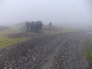 |
| Image 2 ID | 5102 Click image to enlarge |
| Image 2 Description | The East End Lead Mining Ground. | 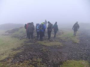 |
| Image 3 ID | 5134 Click image to enlarge |
| Image 3 Description | Ruin of a mine shop once the only surface shelter at this work place. | 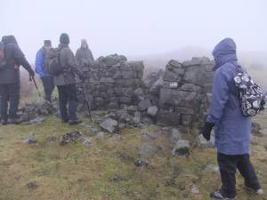 |
| Image 4 ID | 5104 Click image to enlarge |
| Image 4 Description | Galena and calcite or barite was not difficult to find on the extensive lead ore dressing floors. | 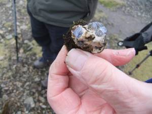 |
| Image 5 ID | 5105 Click image to enlarge |
| Image 5 Description | Galena and calcite or barite | 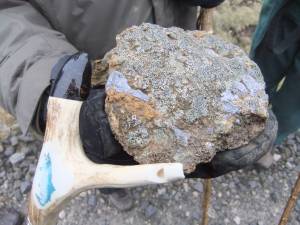 |
| Image 6 ID | 5106 Click image to enlarge |
| Image 6 Description | Swarms of shallow pits or 'scrins' denote medieval exploitation of the lead flatt deposits in the Richmond Chert and top beds of the Main Limestone which predates the sinking of the deeper mine shafts. |  |
| Image 7 ID | 5107 Click image to enlarge |
| Image 7 Description | Swarms of shallow pits or 'scrins' | 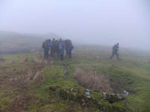 |
| Image 8 ID | 5108 Click image to enlarge |
| Image 8 Description | Very large sink or swallow holes provide gateways to the watery underworld. | 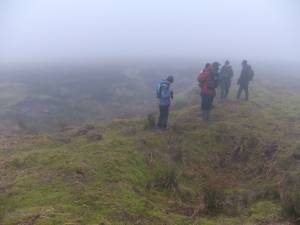 |
| Image 9 ID | 5109 Click image to enlarge |
| Image 9 Description | The sink or swallow holes mark the upper outcrop of The Main Limestone overlain by deep glacial drift deposits. | 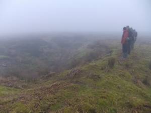 |
| Image 10 ID | 5111 Click image to enlarge |
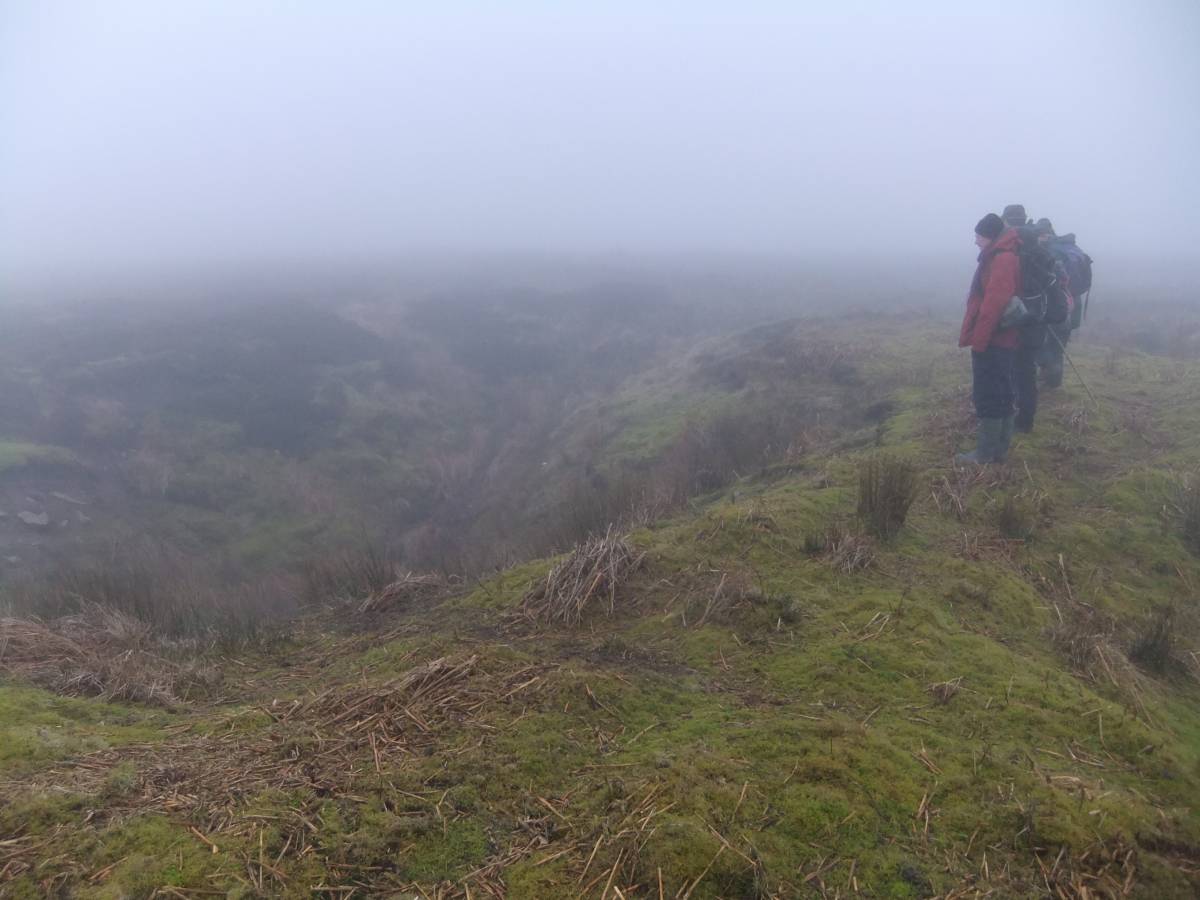
| Image 10 Description | The Group explore the larger lead shaft mounds in mist | 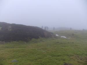 |
| Image 11 ID | 5112 |
| Image 11 Description | THe Group examines one of the extensive lead dressing floor heaps. | 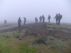 |
| Image 12 ID | 5115 |
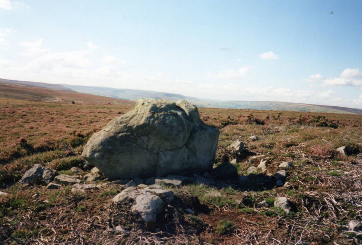
| Image 12 Description | Standing stone on the interfluve Ure/Swale interfluve above Juniper Gill with views north westward through Arkengarthdale to Stainmore and the high fells above the Vale of Eden. |  |
| Image 13 ID | 5113 |
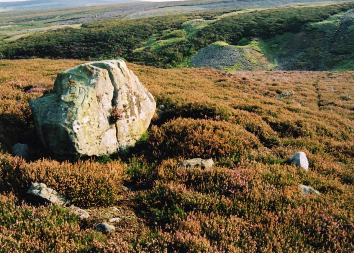
| Image 13 Description | This great slab of sandstone, probably originally erected during the early bronze age as a waymark has been included (BS No 8 on Col. Bruce Donald's Map, see Image No 18 below) within the series of boundary stones between the estates of Erle Drax (Ellerton) and Simon Scrope (Castle Bolton). | 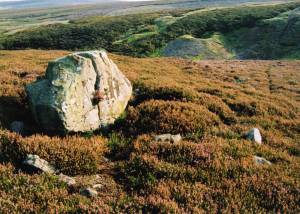 |
| Image 14 ID | 5114 |
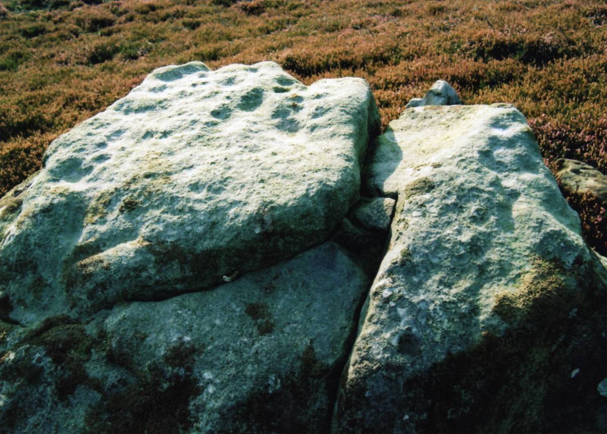
| Image 14 Description | The top surface of the standing stone has been cup marked.I have questioned my initial contention that this rock was cup marked on grounds that the cups are probably natural weathering but this old photo indicates that my original conclusion was probably correct |  |
| Image 15 ID | 5116 |
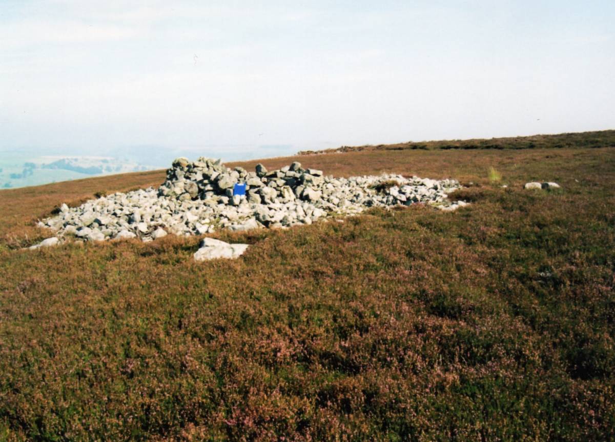
| Image 15 Description | Round cairn on the spur above Juniper Gill. Quarried and re-used as a shelter recently. | 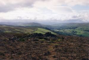 |
| Image 16 ID | 5117 |
| Image 16 Description | The same round cairn. | 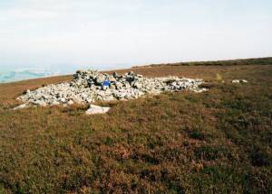 |
| Image 17 ID | 5118 |
| Image 17 Description | Three aligned cairns on the spur above Juniper Gill. | 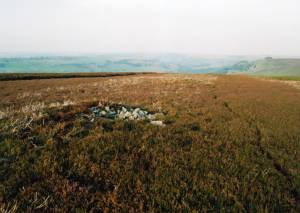 |
| Image 18 ID | 5119 |
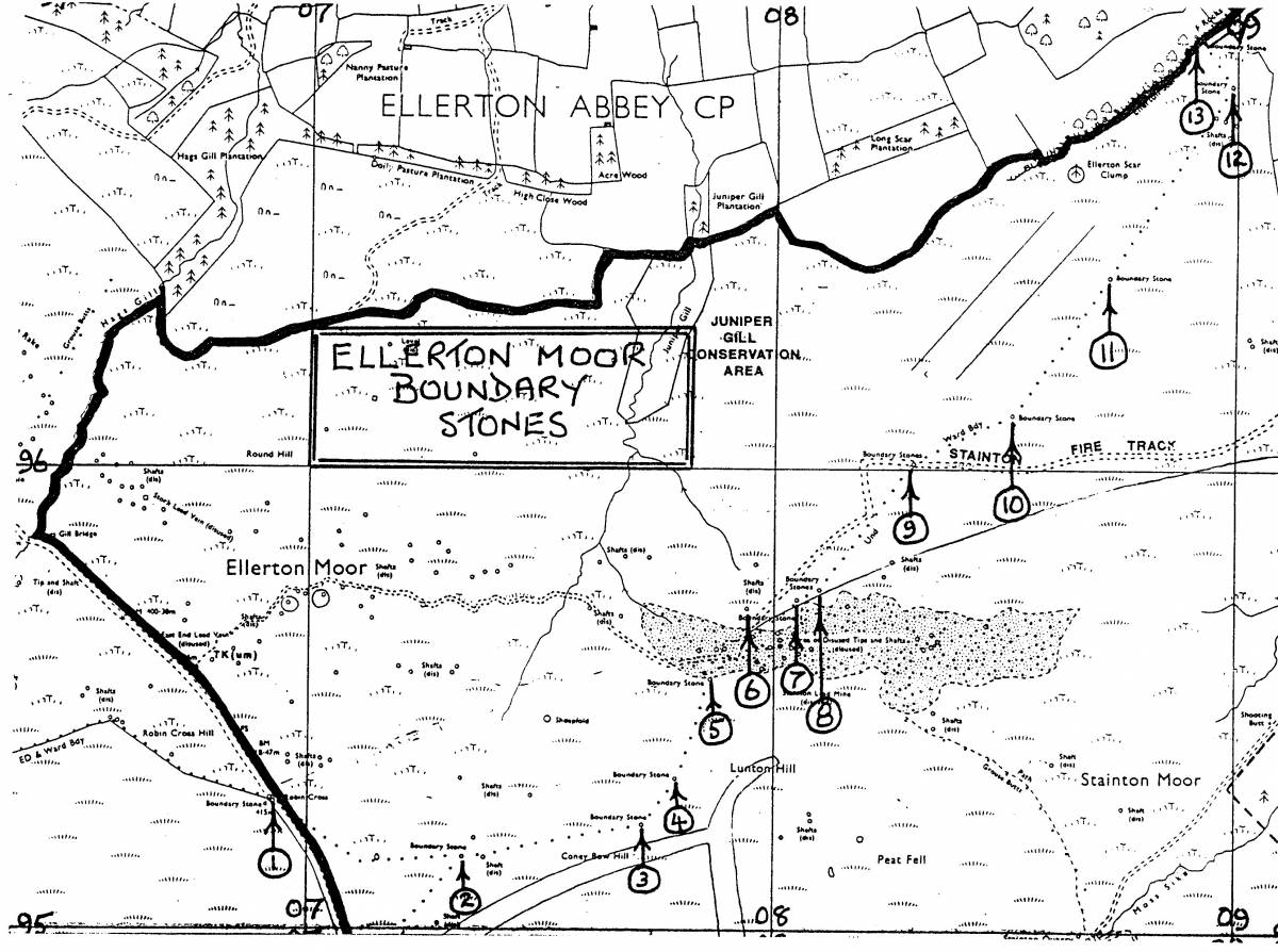
| Image 18 Description | Boundary stones on Ellerton Moor. Col Bruce Donald's Location Map. |  |
| Image 19 ID | 5120 |
| Image 19 Description | Prehistoric and Later Settlements at the White Bog, Stainton Moor. Surveyed within the Swaledale Ancient land Boundaries Project, 1994 and see Fleming 1998, Figure 8.3. | 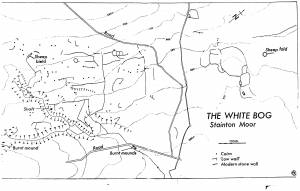 |
| Image 20 ID | 5122 |
| Image 20 Description | Four burnt mounds at Spring Rise, in walled pastures east of the Ship Plantation. Location Plan. | 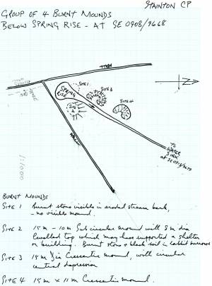 |
| Image 21 ID | 5125 |
| Image 21 Description | Burnt Mound No 1 at the spring rise. |  |
| Image 22 ID | 5124 |
| Image 22 Description | Burnt Mound Nos 2-4 on the west bank of the spring stream | 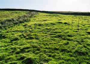 |
| Image 23 ID | 5121 |
| Image 23 Description | Stainton 1694. Fleming 1998 Figure 5.3 | 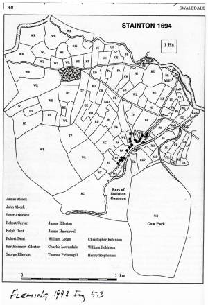 |
| Image 24 ID | 5132 |
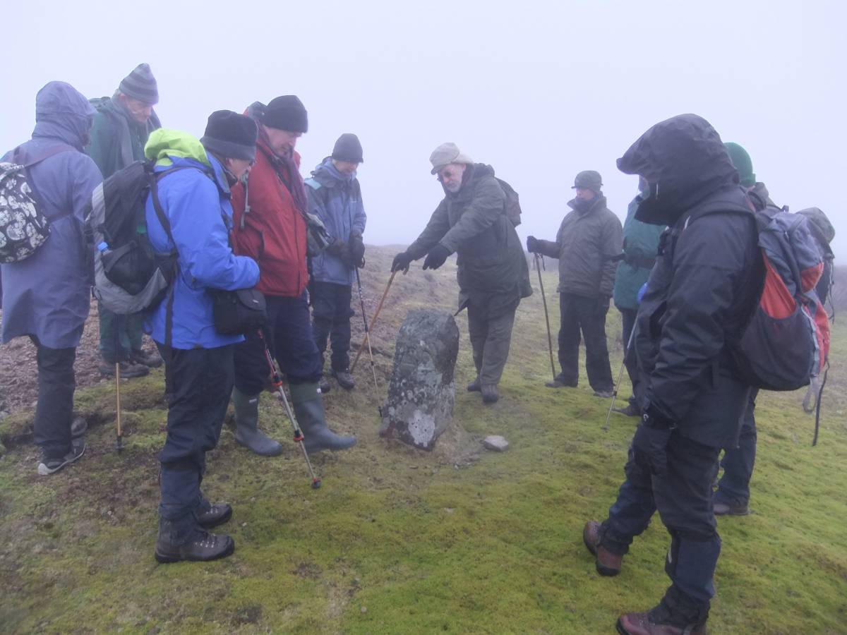
| Image 24 Description | Peter interprets the initials of estate owners on the boundary stone: ED, Erle Drax. SS, Simon Scrope. S, Swale. |  |
| Image 25 ID | 5133 |
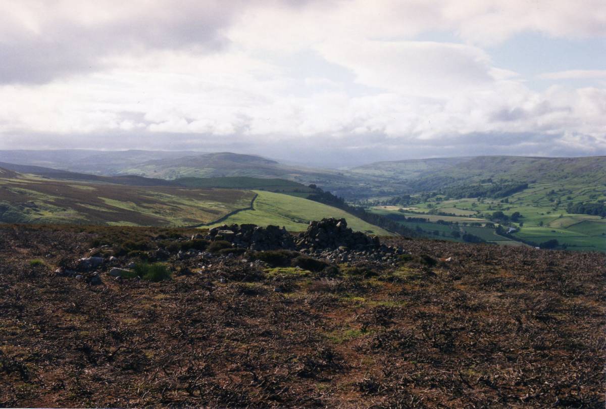
| Image 25 Description | The Ship Plantation, Swaledale landmark, appears out of the mist. | 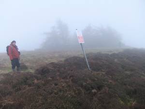 |
| Image 26 ID | 5134 |
| Image 26 Description | This old larch in the Ship Plantation has seen many winters worse than this. | |
| Image 27 ID | 5126 |
| Image 27 Description | Ellerton Scar. View from the path which traverses the top edge of the Scar with Eddie Parker, oblivious of risk, photographing the isolated limestone stack with prostrate junipers. | 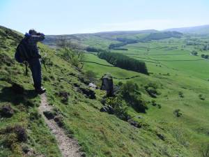 |
| Image 28 ID | 5127 |
| Image 28 Description | Prostrate junipers on summit of isolated stack. Late glacial survivors | 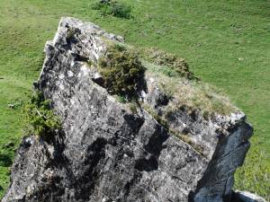 |
| Image 29 ID | 5128 |
| Image 29 Description | The view through Swaledale from the narrow track on Ellerton Scar. | 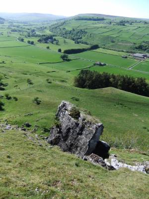 |
| Image 30 ID | 5131 |
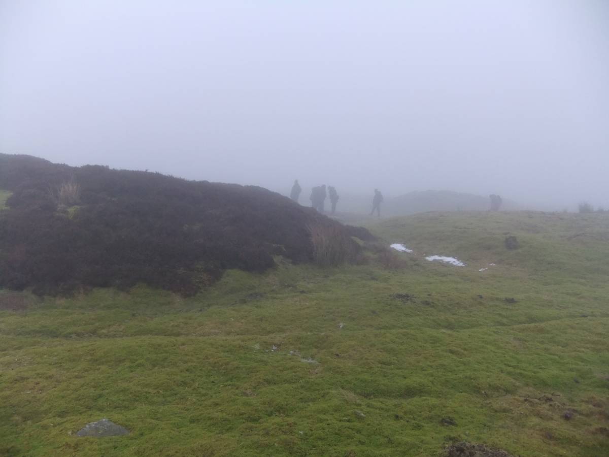
| Image 30 Description | The Group plod a weary return to civilisation passing the roofless ruin of the Mine Shop, perhaps imagining hearing a faint echo of a miners ghostly psalm. |  |