|
| *****SWAAG_ID***** | 787 |
| Date Entered | 20/03/2014 |
| Updated on | 21/03/2014 |
| Recorded by | Tim Laurie |
| Category | Earthworks |
| Record Type | Archaeology |
| SWAAG Site Name | |
| Site Type | |
| Site Name | |
| Site Description | |
| Site Access | Army Range |
| Record Date | 18/03/2014 |
| Location | Downholme Moor and How Hill, Downholme |
| Civil Parish | Downholme |
| Brit. National Grid | SE 108 980 |
| Altitude | 250m |
| Geology | A small quarry on the south slope of How Hill, Downholme exposes steeply dipping strata of the main Limestone on the southern limb of a tight fold probably associated with the Stockdale fault system. This fine isolated hill at the junction of the Downholme Valley with Lower Swaledale is formed by the folding of the hard limestone strata and has survived glaciation.
Downholme Quarry, visited by the Group, provides one of the best opportunities in Swaledale to view the sheer face of the massively bedded Main Limestone with overlying thin bedded mudstone,sandstone and chert strata of the Main Chert Series.
The Main Limestone forms a fine vertical cliff with many yews within Sidebank Wood which can be well seen from Downholme Bridge. The slopes above Side Bank Wood are composed of the Richmond Chert Series with the rather thin Crow Limestone exposed at a quarry close to the Hudswell Road.
The extensive surface remains of the White Earth Lead Mine on the open fell east of the Quarry were also seen during the walk. |
| Record Name | Swaag Group visit to the defended settlement or univallate hill fort of Iron Age date on How Hill, Downholme the open settlement complex above Sidebank Wood and to the Bronze Age cairnfield, burnt mound and rock art sites on Downholme Moor |
| Record Description | This informal record provides a photographic account of the features seen during a walk on a wild wet and windy day in March, but later brilliant sunshine provided a fine rainbow constantly present to lighten our hearts and lift the spirits from the summit of How Hill.
Our thanks are to James and Joyce Sunter for allowing access to their Farm during the lambing season and to Defence Estates for their thoughtful provision of the permissive footpath across Sidebank and for permission to access to the training area.
For details of the geological and lead mining feature seen during the walk see captions to the photographs. For the the Locations of the very many archaeological features visited, see the attached walk over Survey Plan and Gazetteer of Sites (TCL Reports to the CTA Conservation Group,1987 and subsequent)submitted preparatory to the subsequent Instrument Survey commissioned from Wessex Archaeology (survey by NAA) by Defence Estates. |
| Dimensions | See images |
| Geographical area | |
| Species | |
| Scientific Name | |
| Common / Notable Species | |
| Tree and / or Stem Girth | |
| Tree: Position / Form / Status | |
| Tree Site ID | 0 |
| Associated Site SWAAG ID | 0 |
| Additional Notes | This walk was undertaken in initially in the face of driving wind, occasional rain and later by brilliant sunshine. My photographs were spoiled by rain on the lens and I have used several photos from earlier visits under good conditions.
For further detail on the sites within Downholme CP visited during this SWAAG excursion see the following SWAAG Database Records:
Record No 23 Burnt mound at SE 119980
Record No 186 Botanical. Red Scar.
Record No 197 Botanical White Scar
Record No 224 Yew rich woodland on White Scar
Record No 398 Early medieval farmstead settlement Downholme Park
Record No 399 Open settlement above Sidebank Wood with location map and gazetteer
Record No 400 Open settlement above Sidebank Wood further detail and images.
Record No 401 How Hill. Defended settlement or univallate hill fort.
Record No 768 St Michael's Church. Celtic Stone Head and Medieval Stone Portrait Heads.
Record No 769 Downholme Quarry, fossils and lime kiln.
|
| Image 1 ID | 5202 Click image to enlarge |
| Image 1 Description | View northward from How Hill with rainbow and Jacqui. | 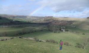 |
| Image 2 ID | 5203 Click image to enlarge |
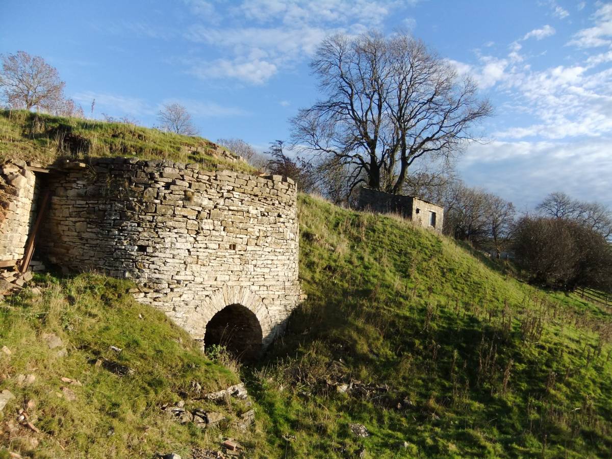
| Image 2 Description | The limekiln below Downholme Quarry operated until the 1940's. |  |
| Image 3 ID | 5204 Click image to enlarge |
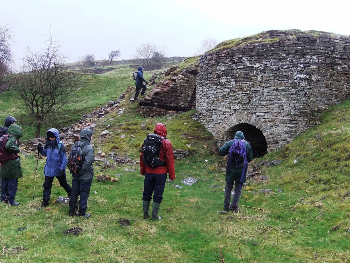
| Image 3 Description | The permissive footpath passes below the quarry. | 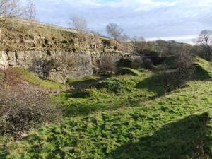 |
| Image 4 ID | 5205 Click image to enlarge |
| Image 4 Description | Detail of the quarry face with strata of the Main Chert series overlying the Main Limestone. | 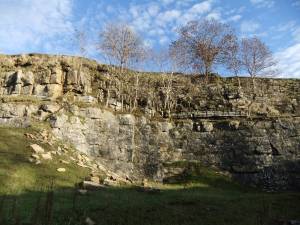 |
| Image 5 ID | 5206 Click image to enlarge |
| Image 5 Description | This fossil is a precursor to the present day Nautilus and provisionally identified as the Goniatite: Reticuloceras reticulatum (or R. bilingue). |  |
| Image 6 ID | 5207 Click image to enlarge |
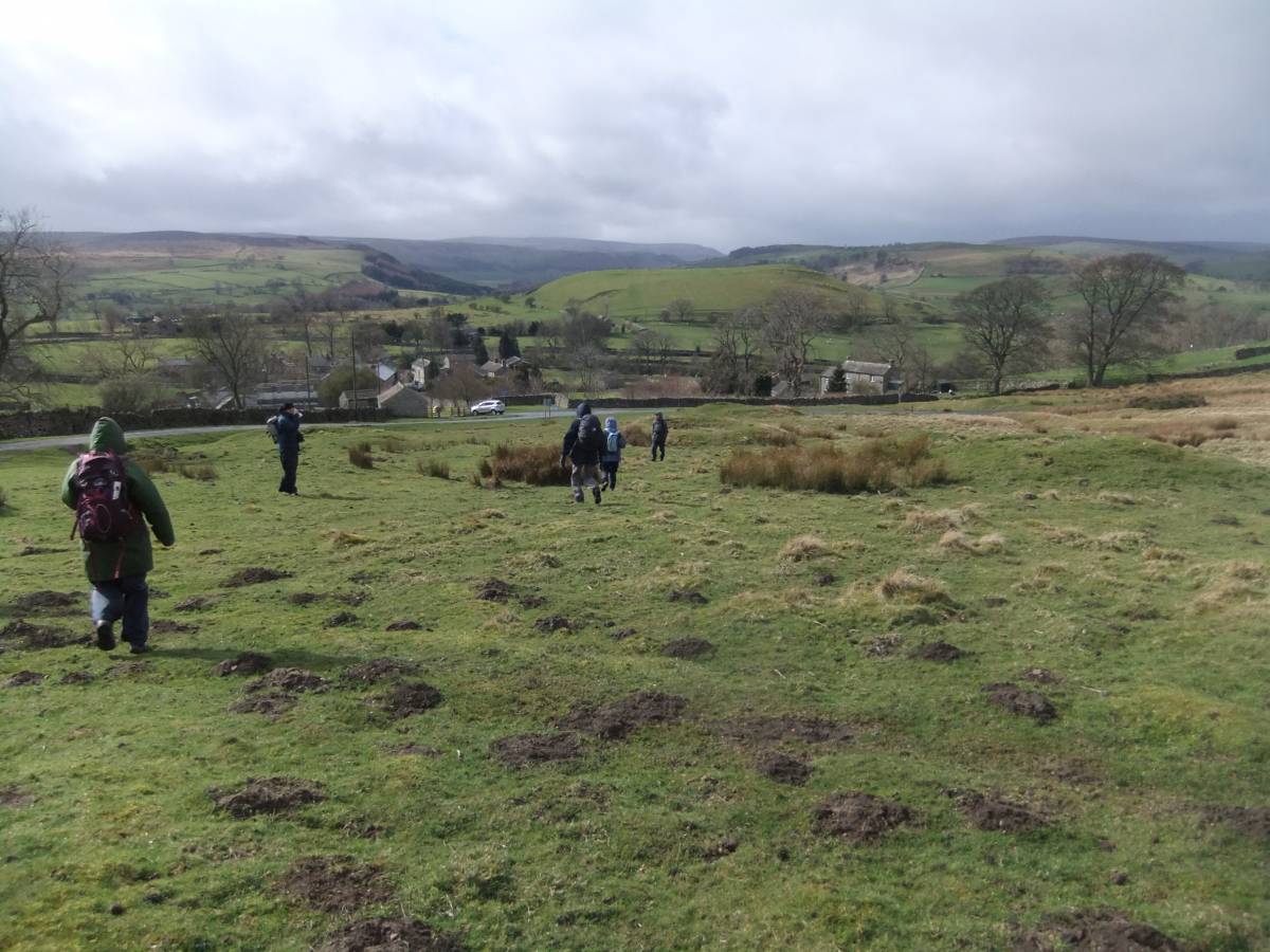
| Image 6 Description | Swaag, a hardy crowd, leaving the quarry for the open moor. | 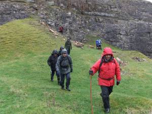 |
| Image 7 ID | 5208 Click image to enlarge |
| Image 7 Description | Swaag, diverted to see the limekiln and pressed on... | 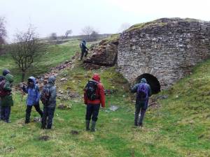 |
| Image 8 ID | 5209 Click image to enlarge |
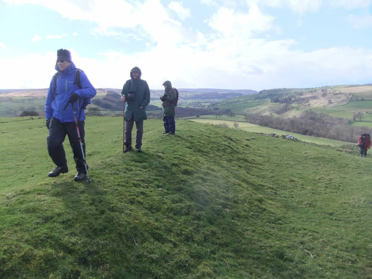
| Image 8 Description | Stone founded round house within a levelled or 'scooped' enclosure of Late Iron Age character above Downholme Quarry. The most southerly of a total of nine small farmstead settlements above Side Bank Wood visited during the walk. |  |
| Image 9 ID | 5225 Click image to enlarge |
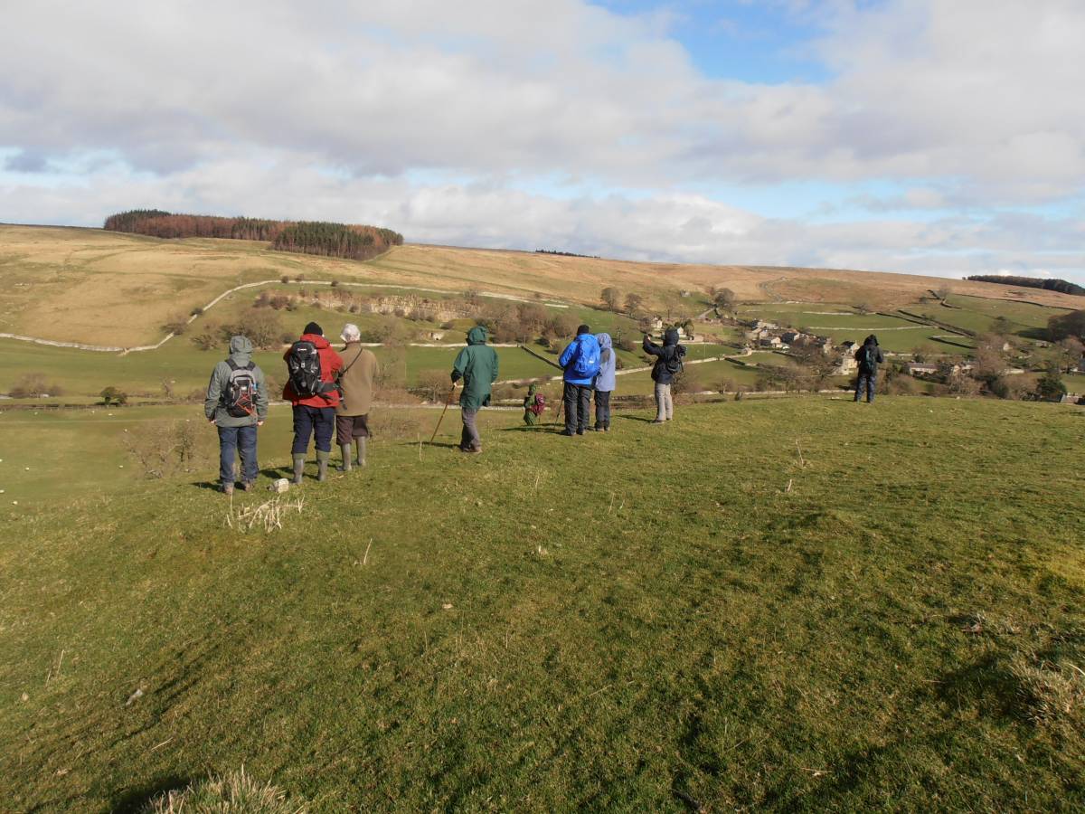
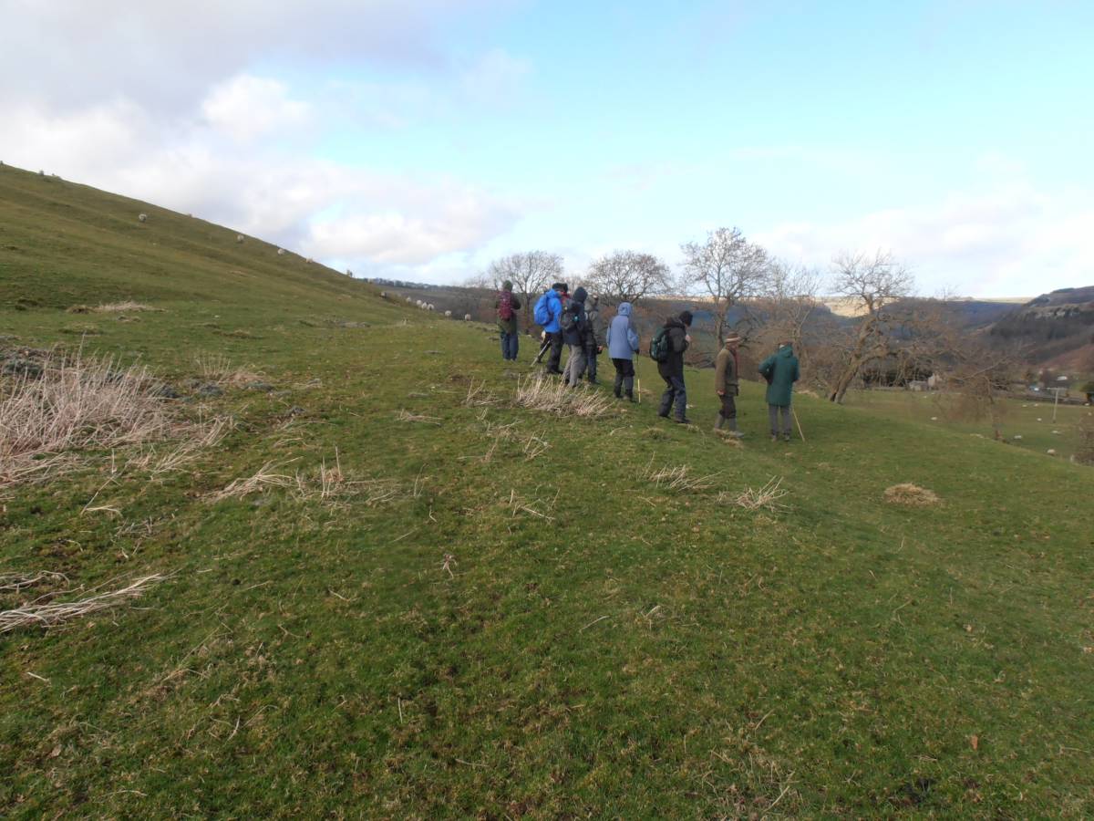
| Image 9 Description | The group walk past one of the nine small farmstead settlements (Site 8 on the Location Map and Gazetteer, see SWAAG Record No ) of Late Iron Age character which have survived on the open grassland above Side Bank Wood. | 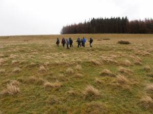 |
| Image 10 ID | 5212 Click image to enlarge |
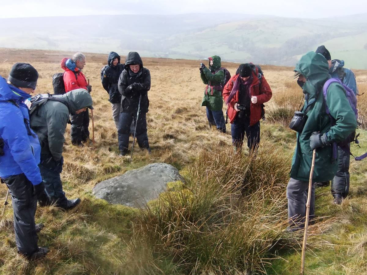
| Image 10 Description | The Group examine one of the three small cup marked rocks on Downholme Moor to the sound of a sky lark high in the sky. A wonder indeed on this wild March day. | 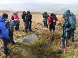 |
| Image 11 ID | 5213 |
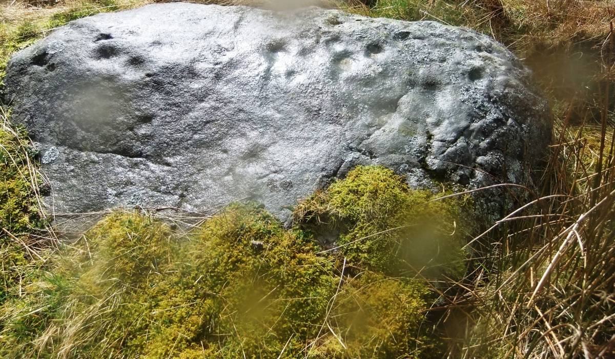
| Image 11 Description | The cup marked rock. Detail. |  |
| Image 12 ID | 5227 |
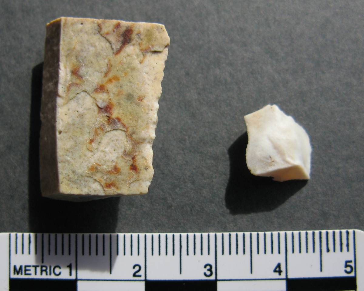
| Image 12 Description | First evidence of Late Mesolithic activity in this area. Ric's photograph of the two quartzite artefacts, a micro saw and a micro burin, that he collected from molehills on Downholme Moor, these finds will be the subject of a separate formal record on the SWAAG Database. | 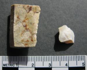 |
| Image 13 ID | 5214 |
| Image 13 Description | The group return to Downholme for lunch. | 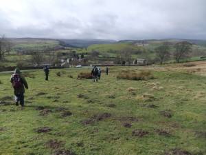 |
| Image 14 ID | 5233 |
| Image 14 Description | The approach to How Hill from Stop Bridge Lane. The quarry can be seen to the left of the old crab apple tree. | 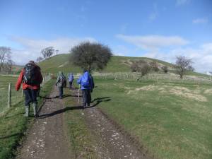 |
| Image 15 ID | 5217 |
| Image 15 Description | The group fossicking at the base of the steeply dipping limestone strata exposed in the quarry on the southern flank of How Hill. | 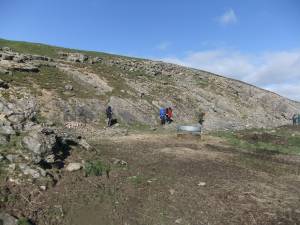 |
| Image 16 ID | 5218 |
| Image 16 Description | How Hill Quarry showing the sharply folded strata of the Main Limestone. | 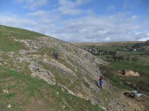 |
| Image 17 ID | 5216 |
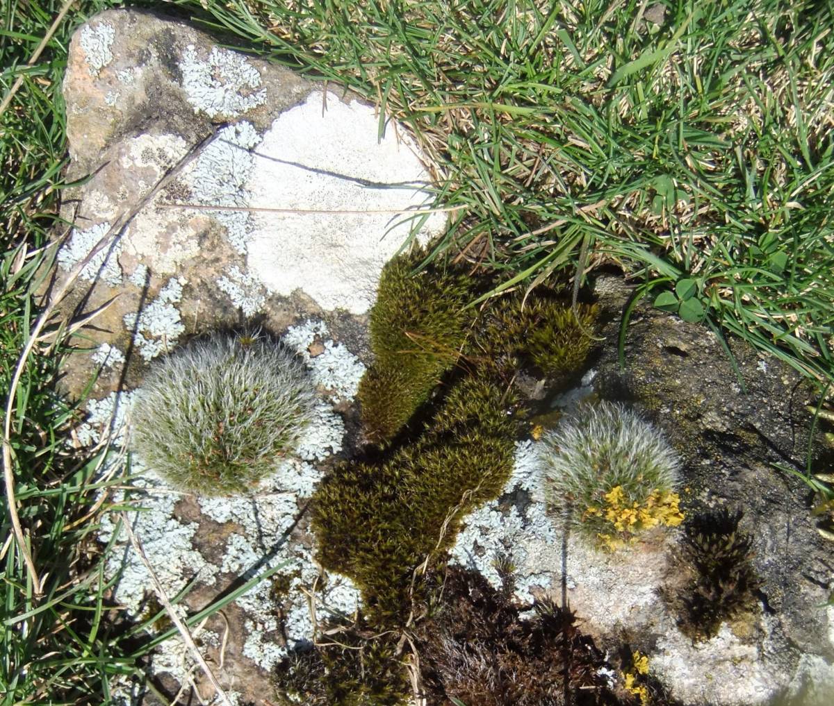
| Image 17 Description | The grey cushions of the fruiting moss: Grimmia pulvinata on limestone. Not Mnium as my stated identification, apologies. | 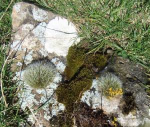 |
| Image 18 ID | 5220 |
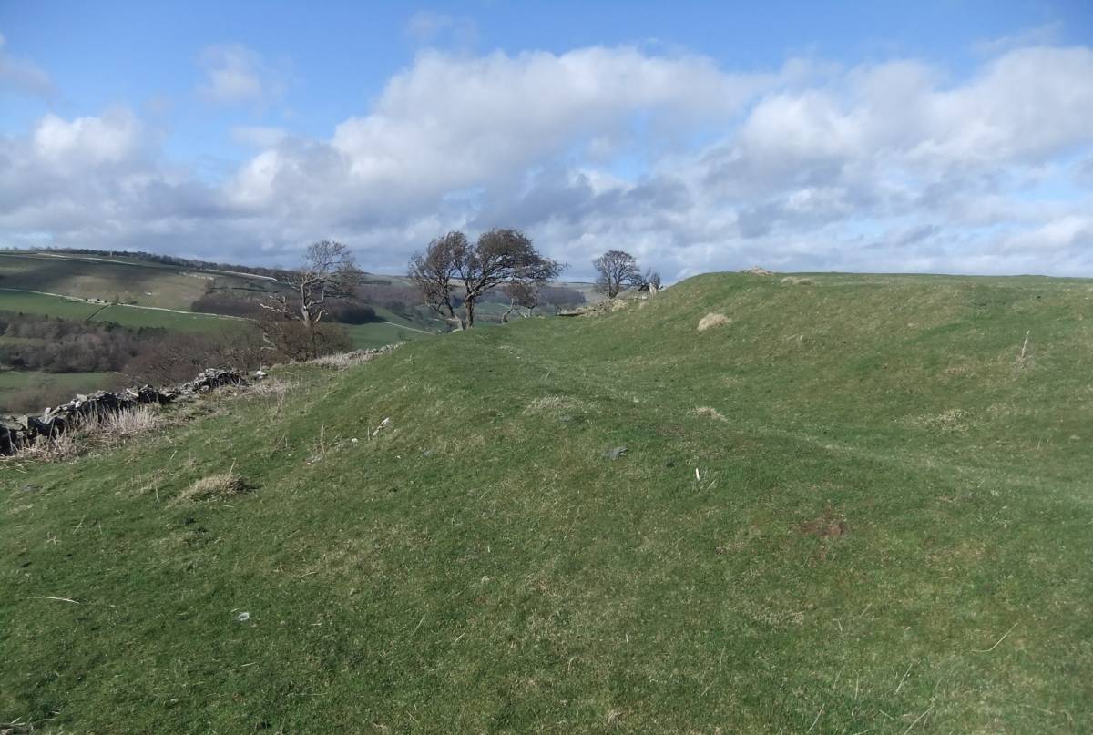
| Image 18 Description | The bank and ditch of the univallate hill fort or defended enclosure are well preserved on the northern and eastern perimeter of How Hill. |  |
| Image 19 ID | 5221 |
| Image 19 Description | The bank and ditch of the univallate hill fort or defended enclosure are well preserved on the northern and eastern perimeter of How Hill. | 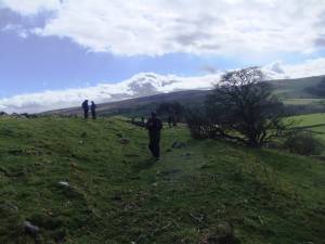 |
| Image 20 ID | 5222 |
| Image 20 Description | The bank and ditch of the univallate hill fort or defended enclosure are well preserved on the northern and eastern perimeter of How Hill. |  |
| Image 21 ID | 5230 |
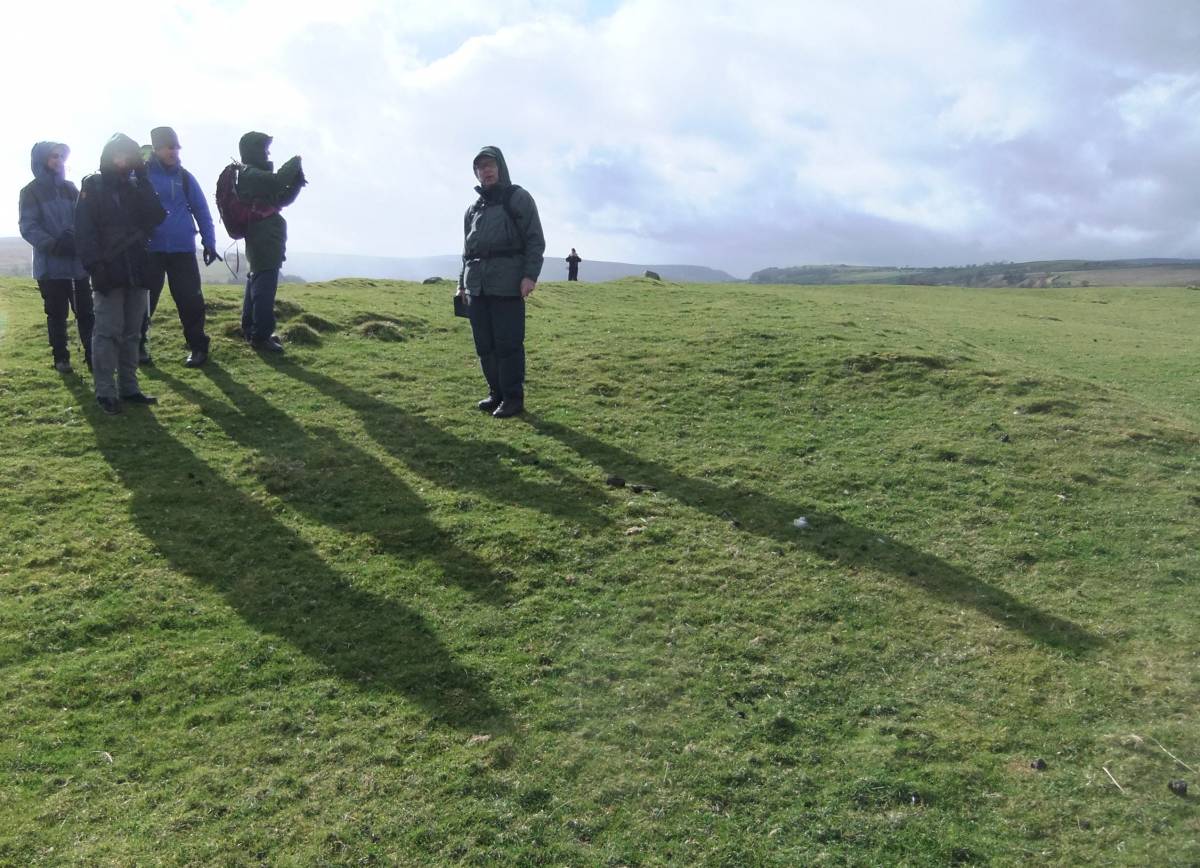
| Image 21 Description | Doug Waugh's photograph of the group enjoying the view eastwards towards Downholme from the earthworks on How Hill. |  |
| Image 22 ID | 5223 |
| Image 22 Description | The group examine a very substantial rectangular building and associated field system on the summit of How Hill |  |
| Image 23 ID | 5231 |
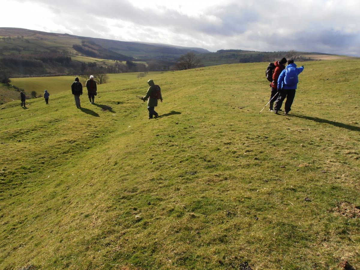
| Image 23 Description | The group examine the multi period cultivation terraces, rig and furrow and other cultivation features which cover the western, southern and eastern slopes of How Hill. Photo: Doug Waugh. | 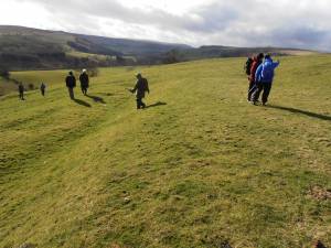 |
| Image 24 ID | 5232 |
| Image 24 Description | The group examine the multi period cultivation terraces, rig and furrow and other cultivation features on the lower slopes of the eastern side of How Hill. Photo: Doug Waugh. | 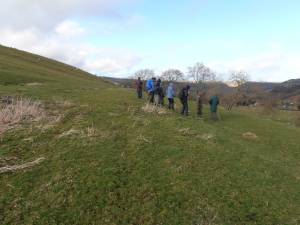 |
| Image 25 ID | 1798 |
| Image 25 Description | Sidebank. View northward beyond Marske to Holgate How from the unfenced road to Hudswell. | 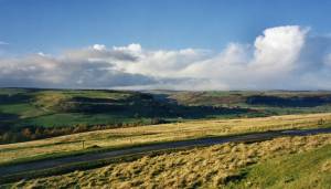 |
| Image 26 ID | 1700 |
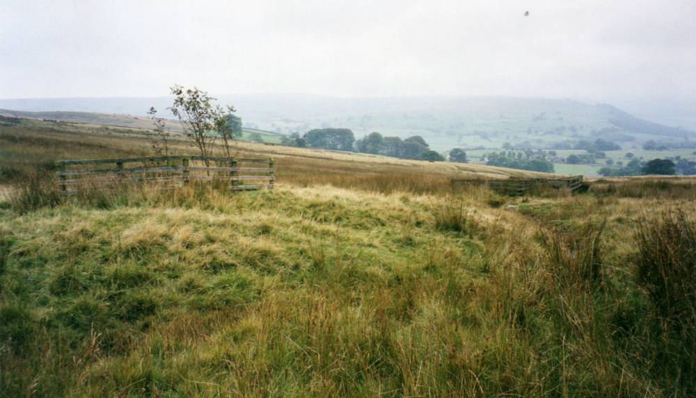
| Image 26 Description | Burnt Mound at spring rise on Downholme Moor, several stone cairns nearby. |  |
| Image 27 ID | 1717 |
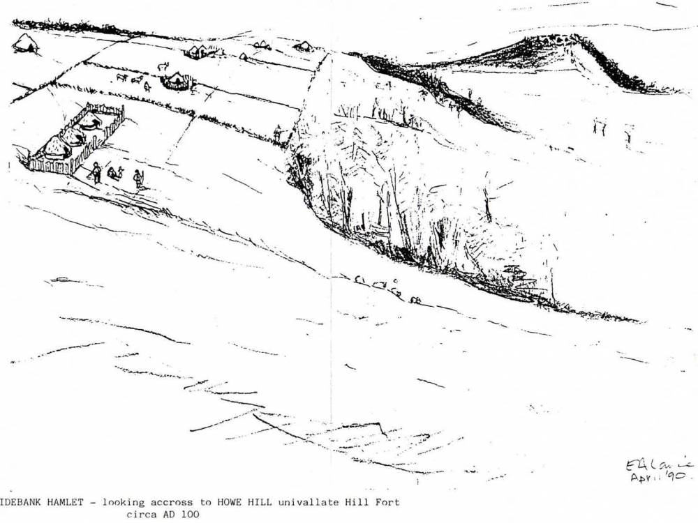
| Image 27 Description | Sidebank. Pencil sketch by Eileen.A. Laurie, 1990, to show the disposition of the small farmstead settlements and the field system on Downholme Moor. Hill fort on How Hill in distance. Sketch based on the location map below. | 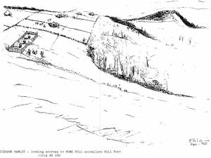 |
| Image 28 ID | 1720 |
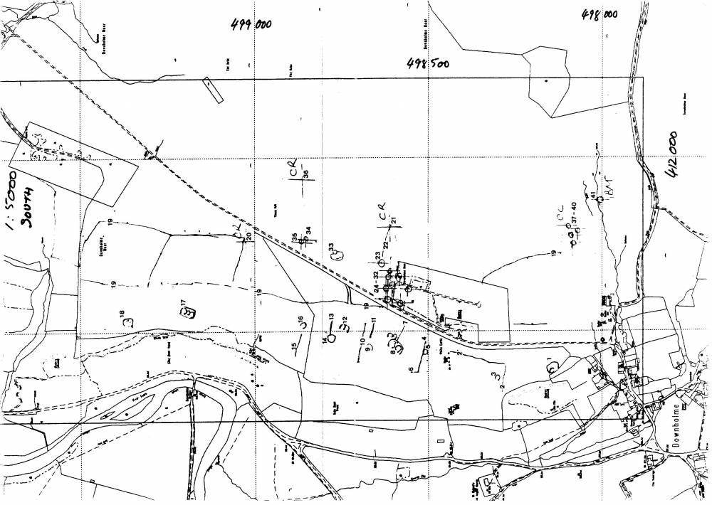
| Image 28 Description | Sidebank. Location Map to show disposition of settlements and numbering of features. For the gazetteer of sites see SWAAG Record No 399. | 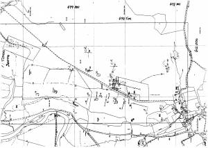 |
| Image 29 ID | 5242 |
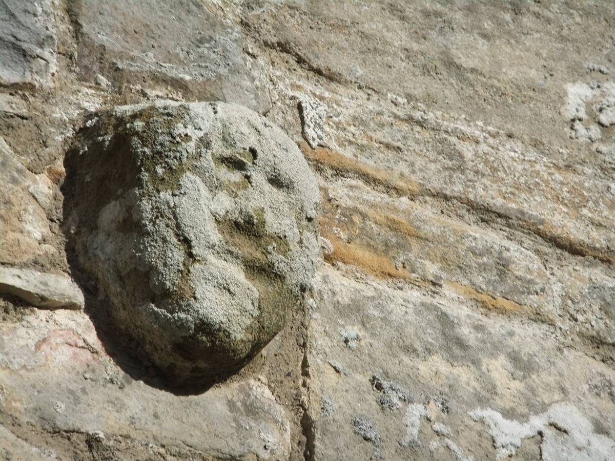
| Image 29 Description | The walk concluded with a visit to the small church of St Michael located at a distance from the village of Downholme. We speculate that the presence of a stone severed head of prehistoric iron age character built into the masonry of the west gable of the church may indicate the onetime presence of a shrine attended by the inhabitants of the settlement on How Hill. | 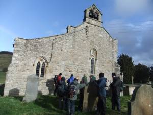 |
| Image 30 ID | 5243 |
| Image 30 Description | The severed head was a significant cult object during the European Iron Age. Reference: Jackson,S., 1973. 'Celtic and Other Stone Heads'. (Bradford). This sinister crude stone head contrasts strongly with the medieval stone portrait heads which are such a charming feature of the architecture of the church | 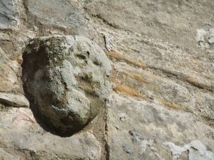 |