|
| *****SWAAG_ID***** | 838 |
| Date Entered | 02/11/2014 |
| Updated on | 29/11/2016 |
| Recorded by | Tim Laurie |
| Category | Geological Record |
| Record Type | Geomorphology |
| SWAAG Site Name | |
| Site Type | |
| Site Name | |
| Site Description | |
| Site Access | Public Footpath |
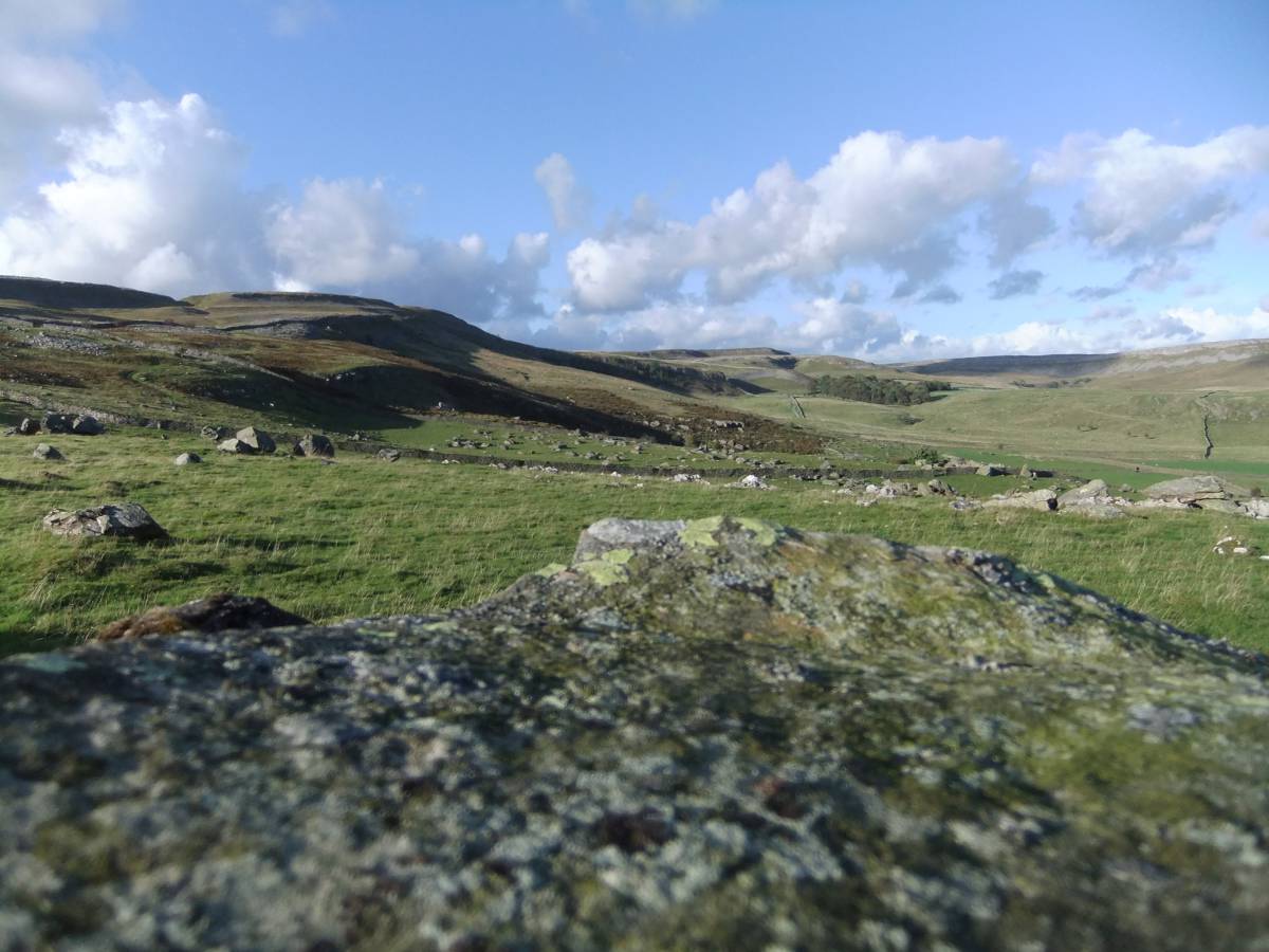
| Location | The Norber Boulder Field above Austwick, Ingleborough. |
| Civil Parish | Not known |
| Brit. National Grid | SD 765 700 |
| Altitude | 300m |
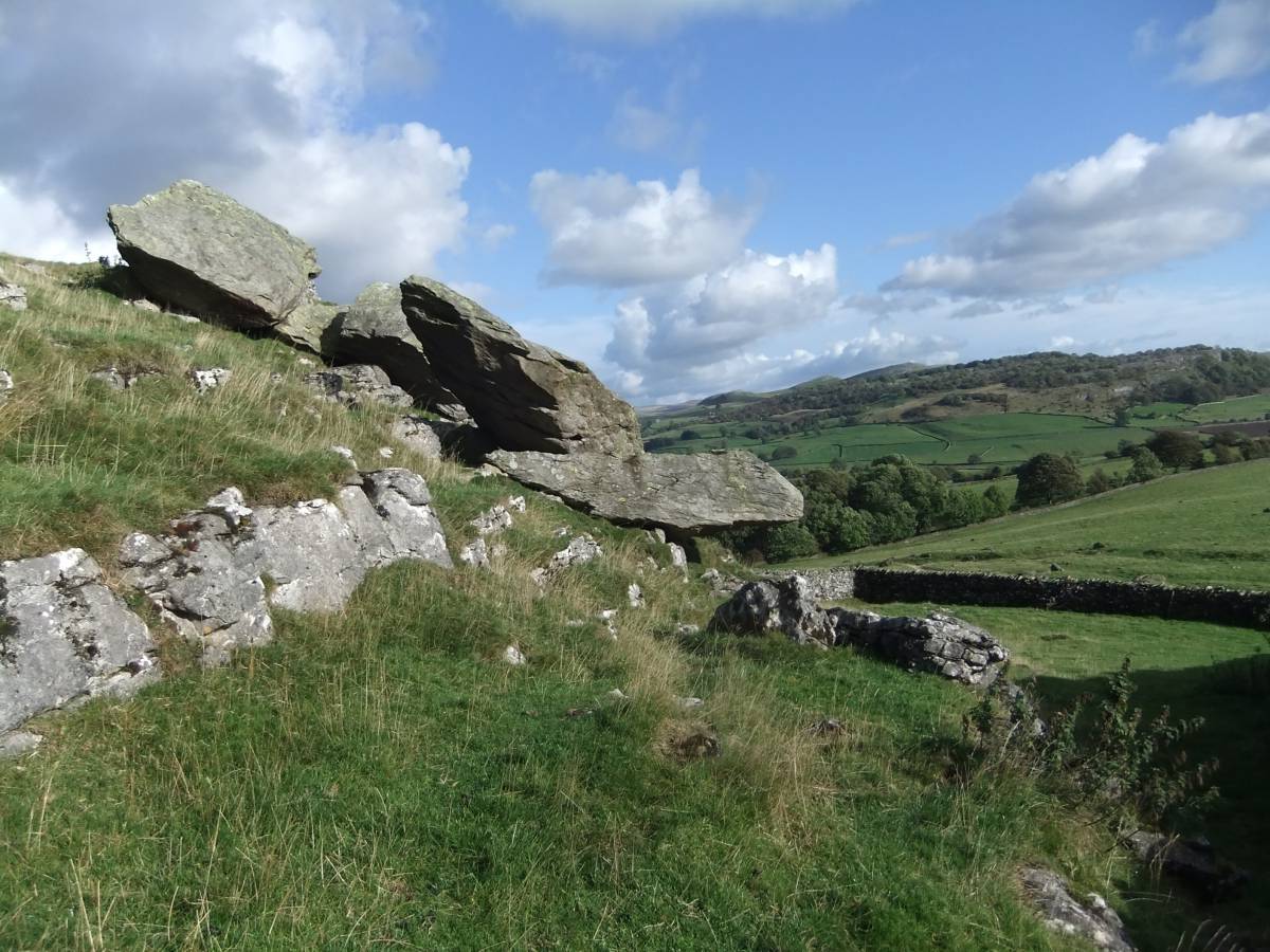
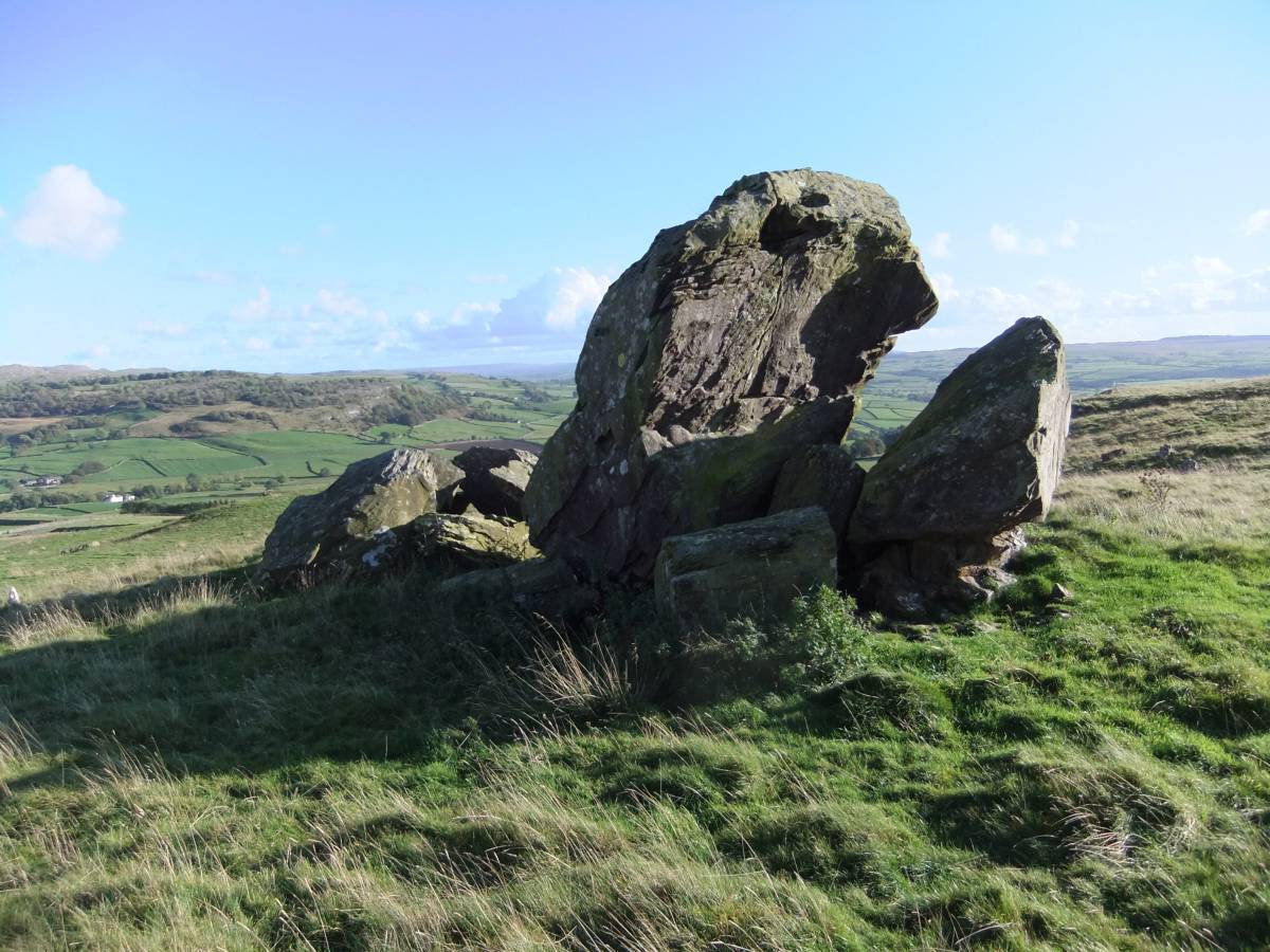
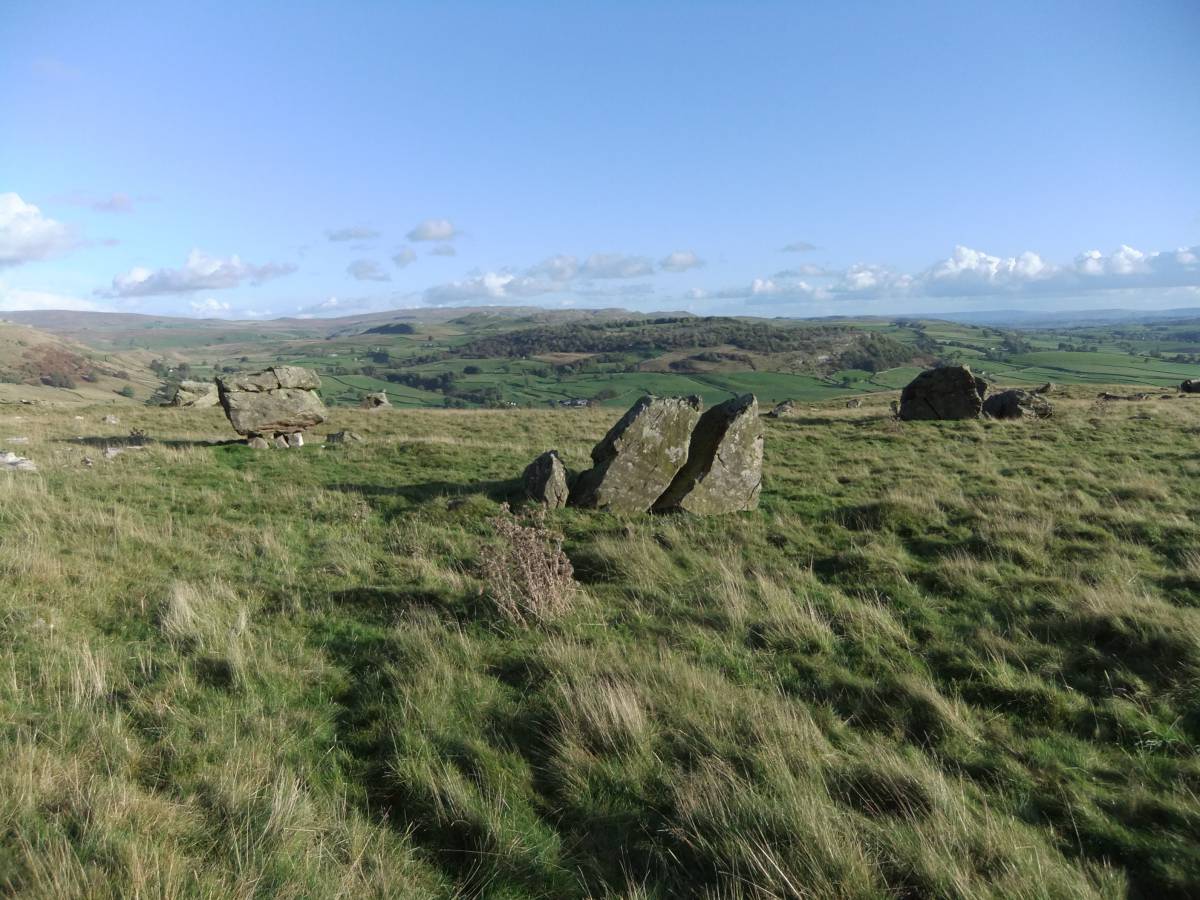
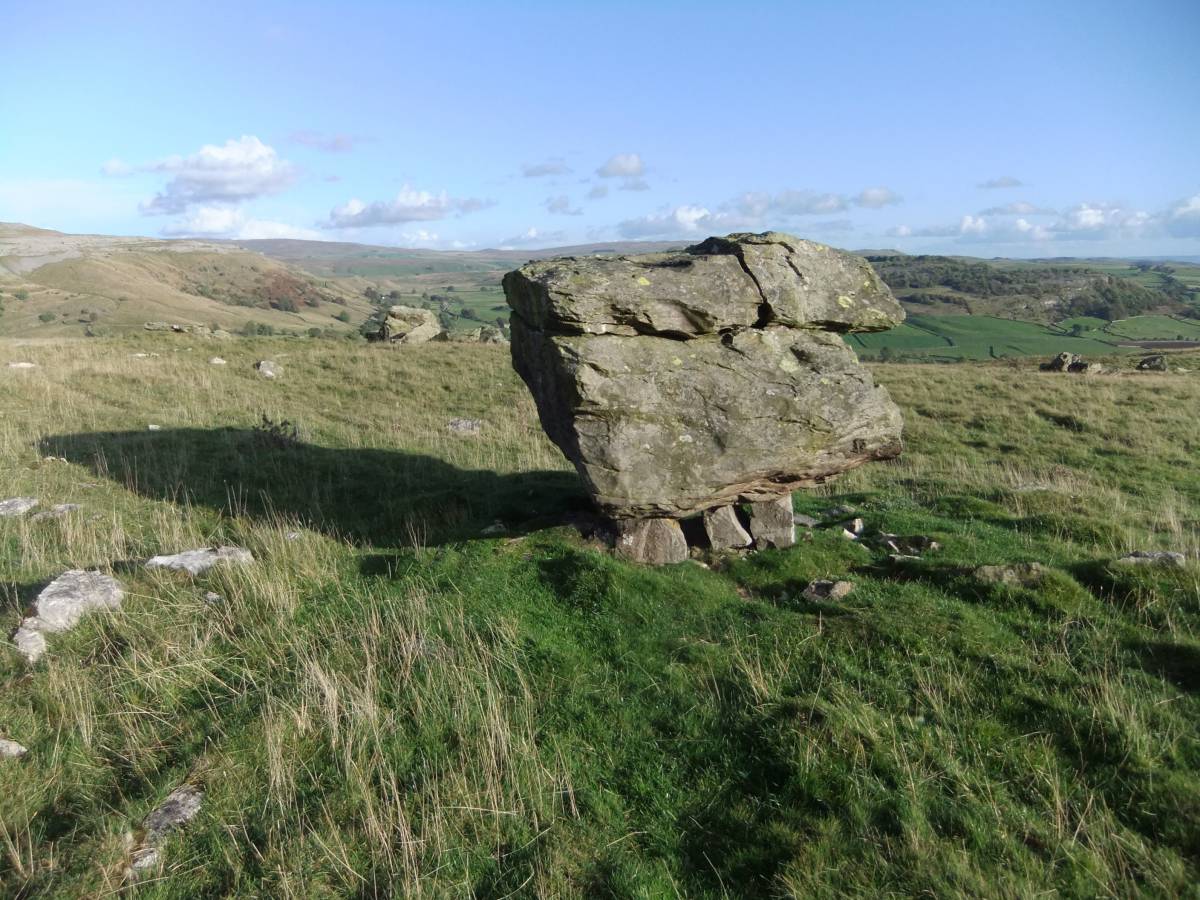
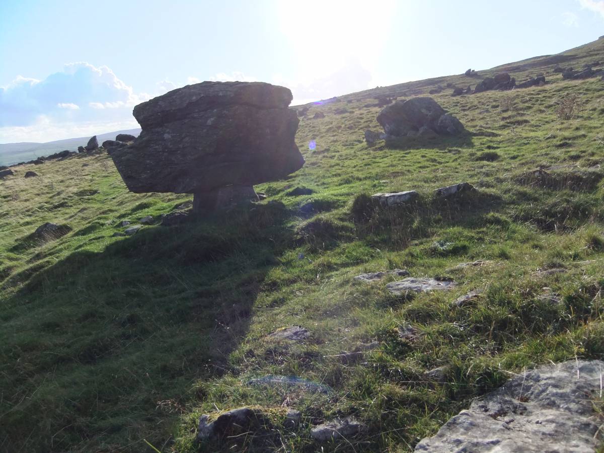
| Geology | Extensive erratic boulder field with many very large blocks of Silurian grit resting on limestone of Carboniferous Age. Many of these large blocks rest on limestone pedestals, see photos.
The rate of erosion and the age of these pedestals has been the subject of much discussion and recent research by Helen Goldie. (Goldie, H.S.2005. 'Erratic judgements: re-evaluating erosion rates of limestone using erratic pedestal sites, including Norber, Yorkshire.' Area 37(4), pp433-42.) |
| Record Name | A walk from Austwick to the Norber Boulders. |
| Record Description | This is a brief photographic record of the vegetation, landscape and archaeological features of interest seen during a recent walk with John and Ann Russell (in advance of a similar walk by SWAAG Members) from the village of Austwick to Nappa Scars and the Norber Boulders. |
| Dimensions | See photos |
| Geographical area | |
| Species | |
| Scientific Name | |
| Common / Notable Species | |
| Tree and / or Stem Girth | |
| Tree: Position / Form / Status | |
| Tree Site ID | 0 |
| Associated Site SWAAG ID | 0 |
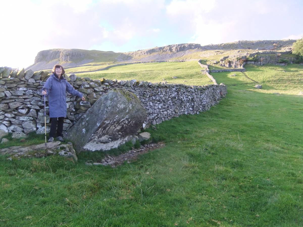
| Additional Notes | Whereas the main purpose of this walk was to visit the well known erratic boulders, one of the highlights of this walk was the recognition of the unenclosed linear platform settlement complex of house platforms, large and small round barrows (the large barrow being overlain by the modern dry stone wall) with nearby leaning standing stone within the pastures below Nappa Scars. |
| Image 1 ID | 5857 Click image to enlarge |
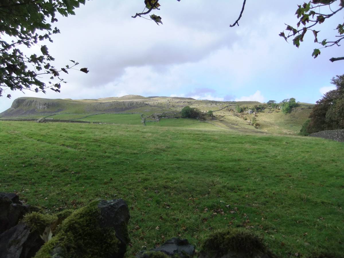
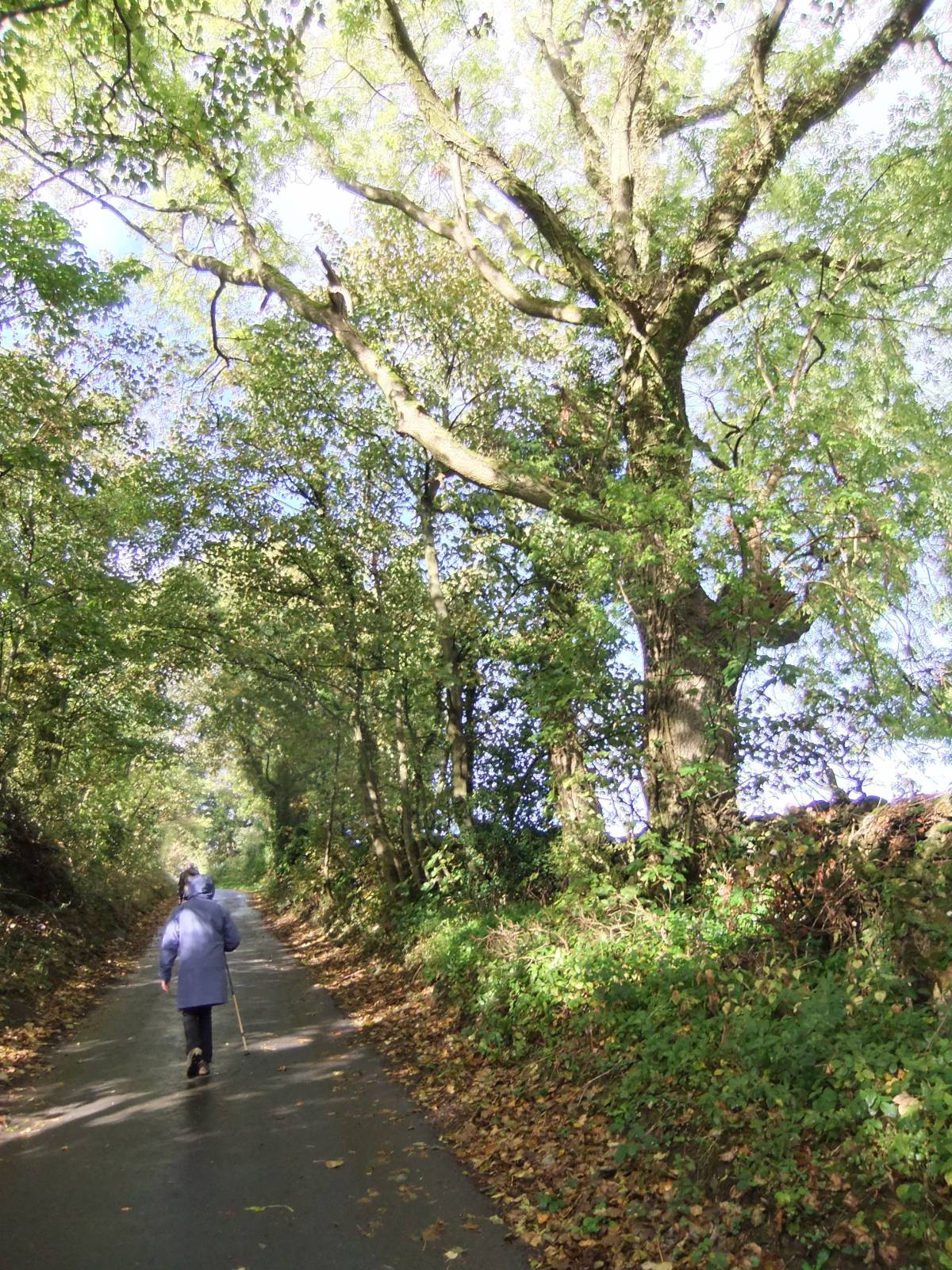
| Image 1 Description | The approach from Austwick through pastures below Nappa Scars. | 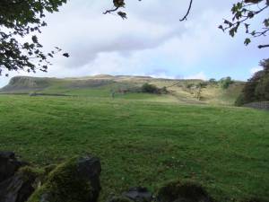 |
| Image 2 ID | 5886 Click image to enlarge |
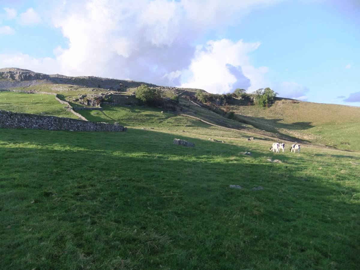
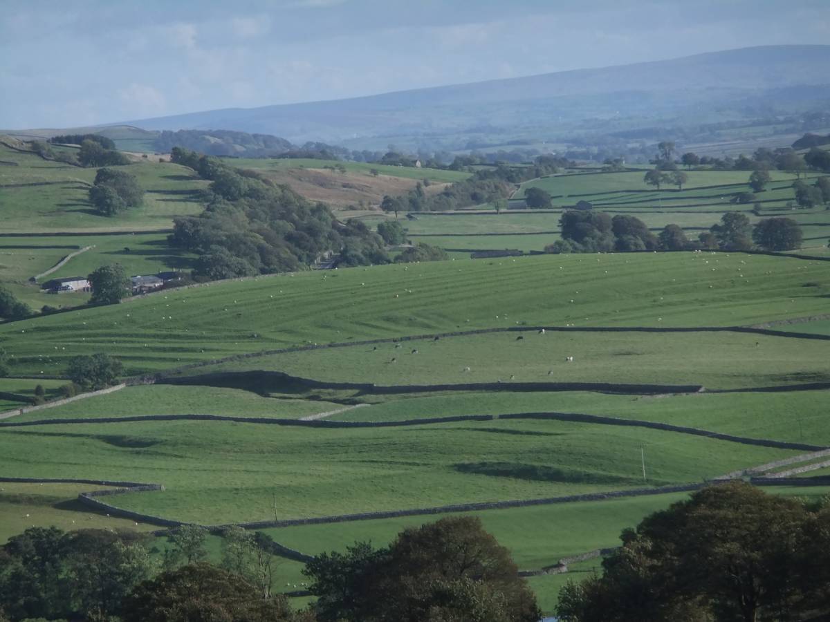
| Image 2 Description | Pastures below Nappa Scar and site of prehistoric platform settlement. | 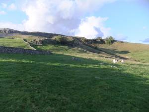 |
| Image 3 ID | 5858 Click image to enlarge |
| Image 3 Description | Ann confirms the leaning standing stone at the angle in the drystone wall | 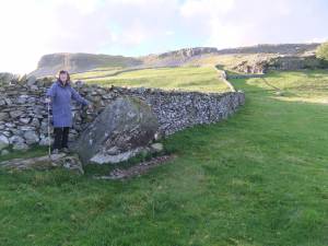 |
| Image 4 ID | 5859 Click image to enlarge |
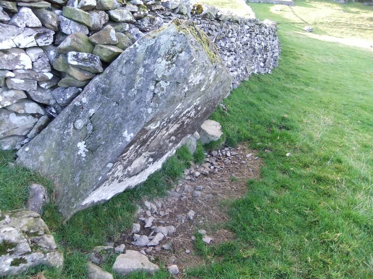
| Image 4 Description | Standing Stone |  |
| Image 5 ID | 5860 Click image to enlarge |
| Image 5 Description | Large House Platform with two flanking smaller platforms. | 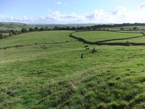 |
| Image 6 ID | 5861 Click image to enlarge |
| Image 6 Description | Large House Platform, detail. | 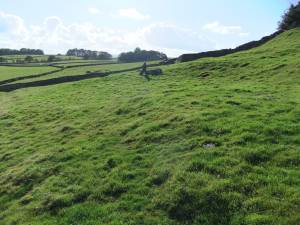 |
| Image 7 ID | 5865 Click image to enlarge |
| Image 7 Description | | 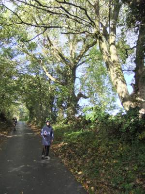 |
| Image 8 ID | 5863 Click image to enlarge |
| Image 8 Description | Further house platforms on the same contour. |  |
| Image 9 ID | 5864 Click image to enlarge |
| Image 9 Description | |  |
| Image 10 ID | 5866 Click image to enlarge |
| Image 10 Description | Nappa Scar with ash tree on the top edge of the cliff. | 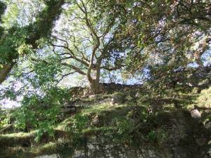 |
| Image 11 ID | 5867 |
| Image 11 Description | The lowest of the boulders | 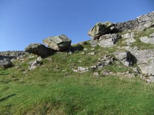 |
| Image 12 ID | 5868 |
| Image 12 Description | | 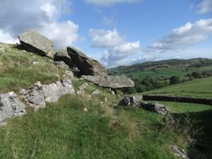 |
| Image 14 ID | 5870 |
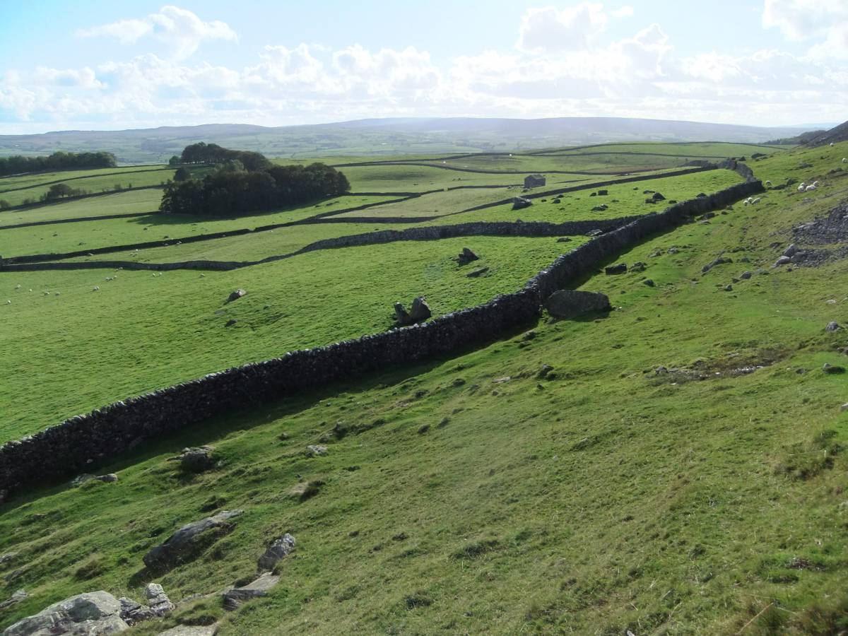
| Image 14 Description | View from Norber with medieval field systems. | 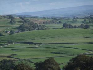 |
| Image 15 ID | 5871 |
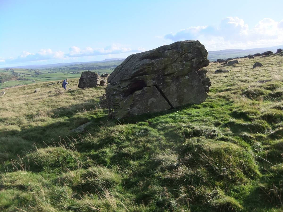
| Image 15 Description | Frost shattered erratic block. | 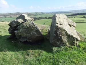 |
| Image 16 ID | 5872 |
| Image 16 Description | Old wind blown hawthorns the last relict of woodland here. | 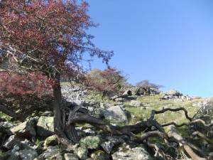 |
| Image 17 ID | 5873 |
| Image 17 Description | The lower boulder field with Ann and John. | 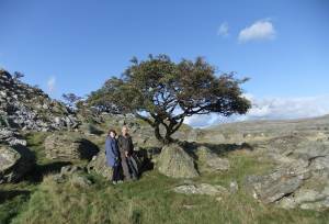 |
| Image 18 ID | 5874 |
| Image 18 Description | View of the boulders with sheep | 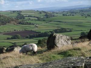 |
| Image 19 ID | 5875 |
| Image 19 Description | View without sheep. | 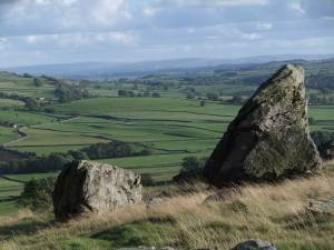 |
| Image 20 ID | 5876 |
| Image 20 Description | Smaller boulders supporting a large block. These are the only upright blocks. |  |
| Image 21 ID | 5877 |
| Image 21 Description | View towards the source of the boulders. | 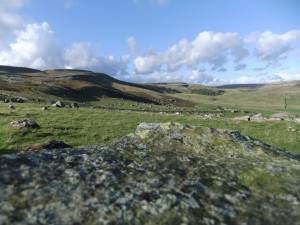 |
| Image 22 ID | 5878 |
| Image 22 Description | The upper boulder field. |  |
| Image 23 ID | 5879 |
| Image 23 Description | Boulder on pedestal, much photographed. |  |
| Image 24 ID | 5880 |
| Image 24 Description | | 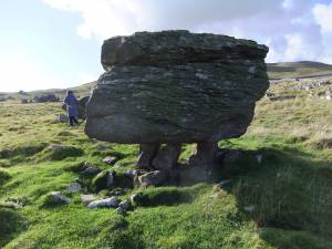 |
| Image 25 ID | 5881 |
| Image 25 Description | | 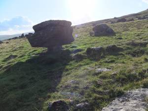 |
| Image 26 ID | 5882 |
| Image 26 Description | | 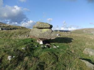 |
| Image 27 ID | 5883 |
| Image 27 Description | |  |